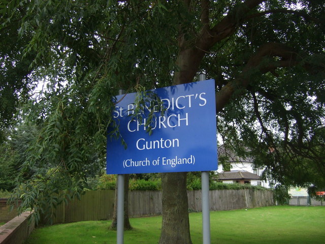
Gunton Warren

Downs, Moorland in Suffolk East Suffolk

England

Gunton Warren

Service station on High Street, Lowestoft
Service station on High Street, Lowestoft Credit: JThomas

Gunton Warren is an area of outstanding natural beauty located in Suffolk, England. Situated on the coast, it encompasses a diverse range of landscapes including downs and moorland. Spanning approximately 200 acres, it is a popular destination for nature enthusiasts and outdoor enthusiasts alike.

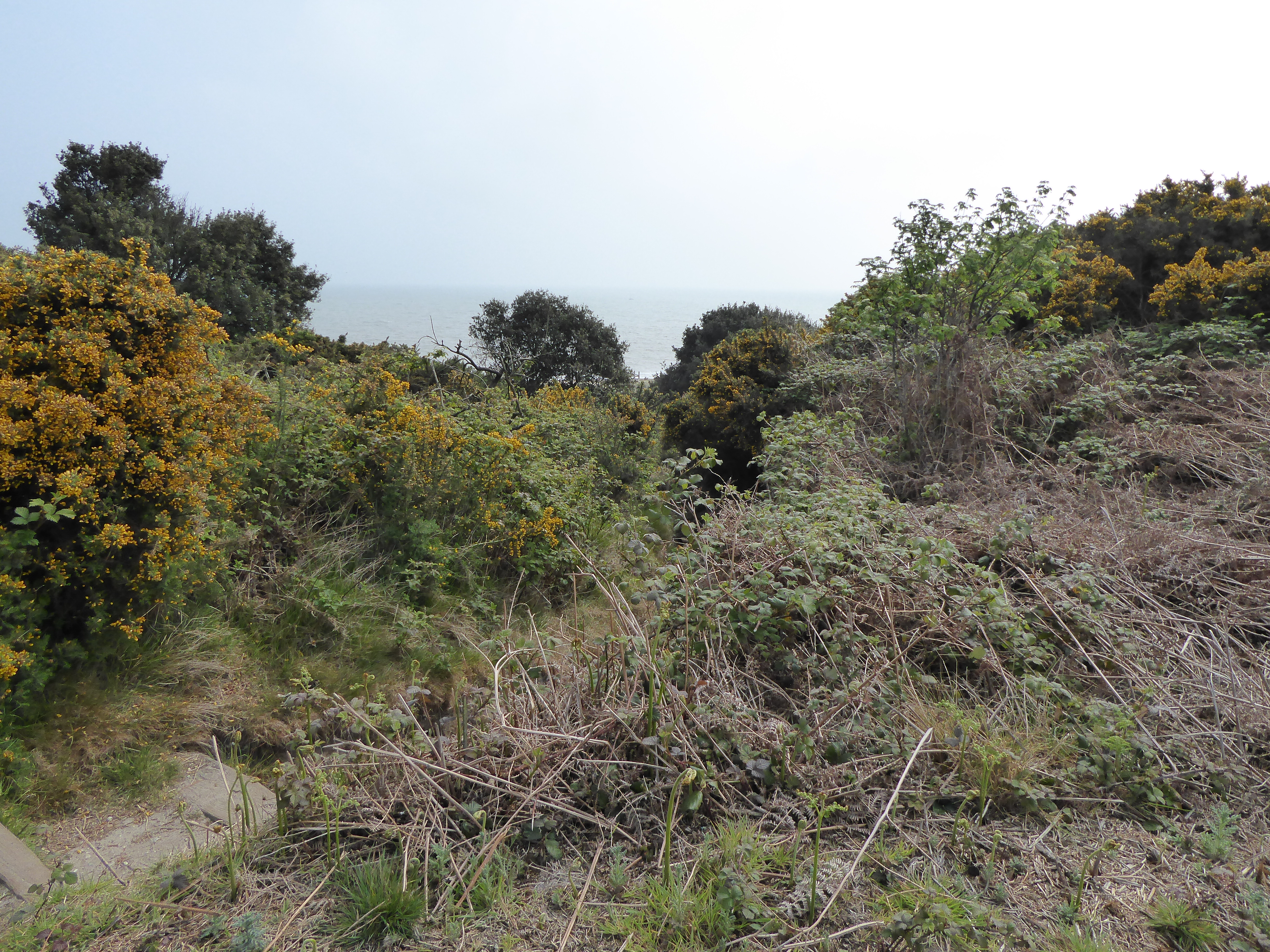
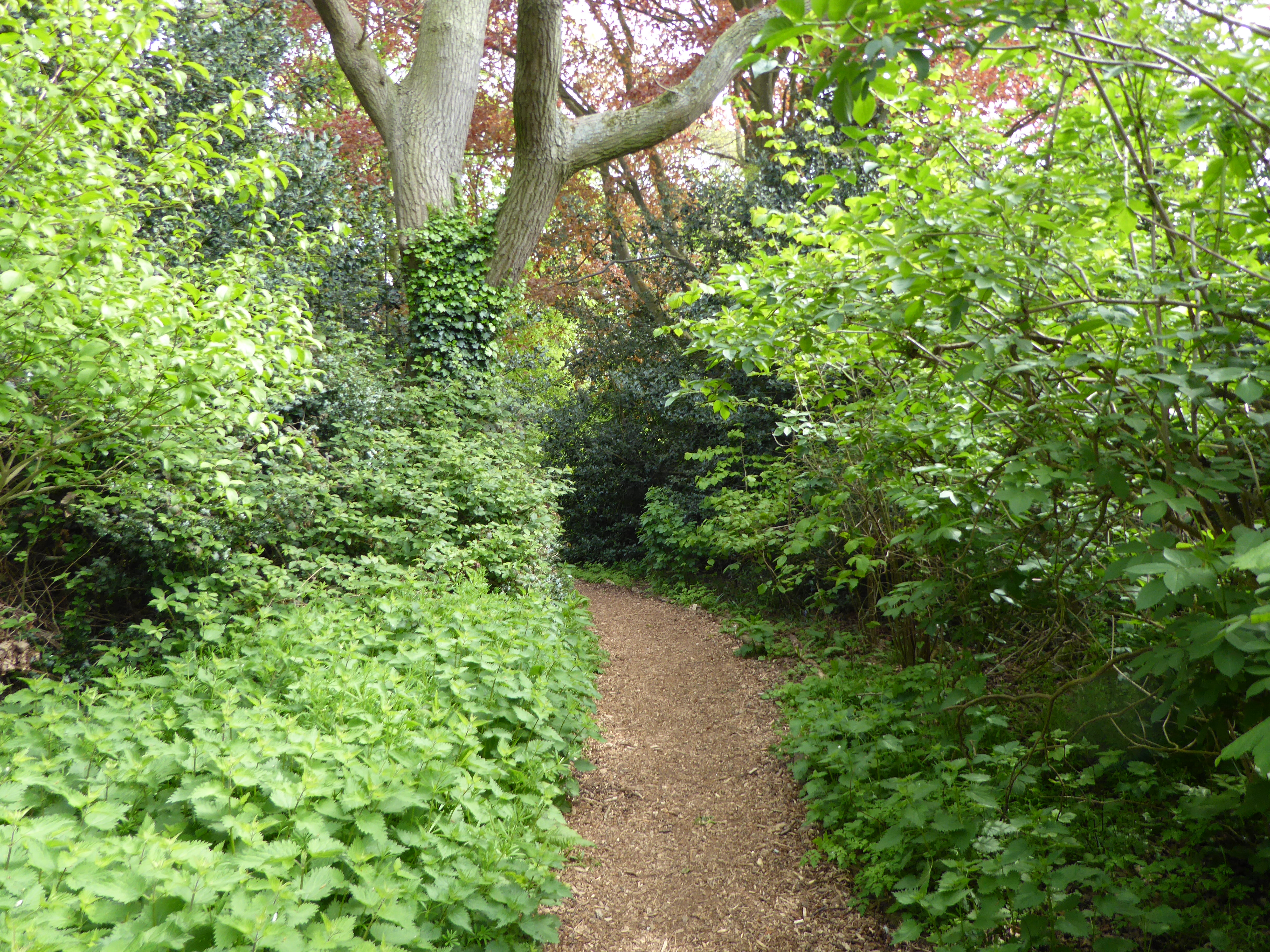
The downs of Gunton Warren offer stunning panoramic views of the surrounding countryside and coastline. The undulating terrain is dominated by chalk grassland, which is home to a variety of rare plant species such as orchids and cowslips. The area is also a haven for butterflies and birds, including the elusive and endangered stone curlew.

Moving towards the moorland section of Gunton Warren, visitors are greeted with a completely different landscape. Dense heather and gorse provide a colorful backdrop, while the damp ground is covered with mosses and lichens. The moorland is particularly popular with hikers and birdwatchers, as it offers a tranquil and remote environment to explore.

Gunton Warren is also recognized for its historical significance. The remains of World War II pillboxes can still be seen scattered across the downs, serving as a reminder of the area's past. Additionally, the Warren is a designated Site of Special Scientific Interest, highlighting its importance for conservation and preservation.

Overall, Gunton Warren in Suffolk offers a unique and diverse natural environment, combining downs and moorland. With its stunning views, rare plant and animal species, and historical significance, it is a must-visit destination for those seeking to immerse themselves in the beauty of the British countryside.

If you have any feedback on the listing, please let us know in the comments section below.

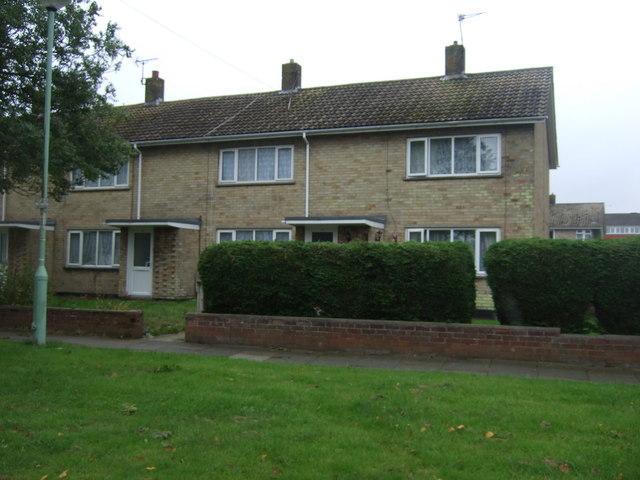
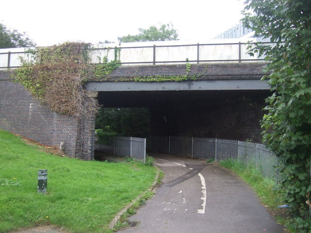
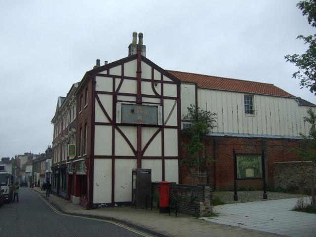
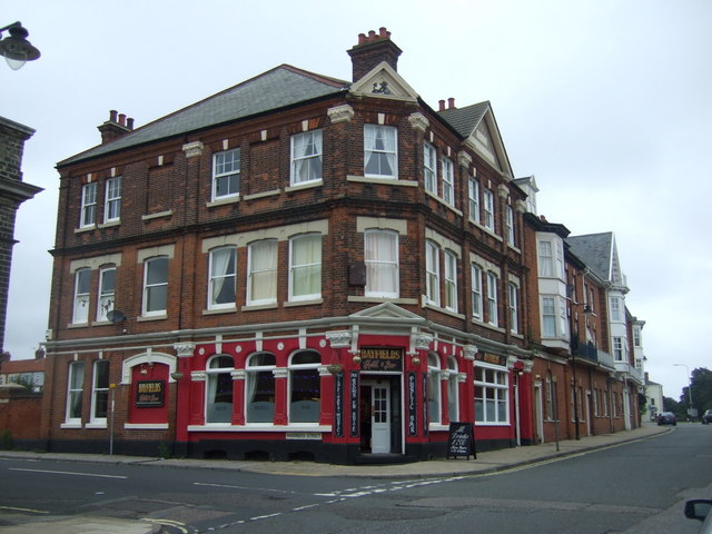
Gunton Warren Images

Images are sourced within 2km of 52.500577/1.7533495 or Grid Reference TM5495. Thanks to Geograph Open Source API. All images are credited.

Service station on High Street, Lowestoft
House on Park Road, Lowestoft
St Benedict's Church, Gunton
Sign outside St Benedict's Church, Gunton
Houses on Spashett Road
Bridge over National Cycle Route 1 Course of a disused railway.
Bridge over National Cycle Route 1
Course of a disused railway.
The Crown Hotel, Lowestoft On High Street.
The Crown Hotel, Lowestoft
On High Street.
Bayfields hotel and Bar, Lowestoft On High Street.
Bayfields hotel and Bar, Lowestoft
On High Street.
The Royal Falcon Hotel, Lowestoft On High Street.
The Royal Falcon Hotel, Lowestoft
On High Street.
Flats on High Street, Lowestoft
Service station on High Street, Lowestoft
High Street (A12), Lowestoft Looking north.
High Street (A12), Lowestoft
Looking north.
St Margaret's Road, Lowestoft Looking west.
St Margaret's Road, Lowestoft
Looking west.
Bus stop and shelter on Yarmouth Road (A12)
National Cycle Route 1 Heading north west beside Yarmouth Road (A12).
National Cycle Route 1
Heading north west beside Yarmouth Road (A12).
Yarmouth Road (A12) Heading north west.
Yarmouth Road (A12)
Heading north west.
Flats on Hollingsworth Road
Sign for the Alderman A closed pub on Hollingsworth Road.
Sign for the Alderman
A closed pub on Hollingsworth Road.
Show me another place!

Gunton Warren is located at Grid Ref: TM5495 (Lat: 52.500577, Lng: 1.7533495)

Administrative County: Suffolk

District: East Suffolk

Police Authority: Suffolk

What 3 Words

///detail.snooze.galloping. Near Lowestoft, Suffolk

Nearby Locations

Gunton Warren Gunton Denes

Related Wikis

Gunton Warren and Corton Woods

Gunton Warren and Corton Woods is a 31.9 hectare Local Nature Reserve in Lowestoft in Suffolk. The site is owned by Waveney District Council, and Gunton...

Gunton, Suffolk

Gunton is a suburb of Lowestoft, in the East Suffolk district, in the English county of Suffolk. Gunton was a small coastal village, but over the years...

Gunton Wood

Gunton Wood is a 2.8 hectare Local Nature Reserve in Lowestoft in Suffolk. It is owned by Waveney District Council and managed by the Gunton Wood Community...

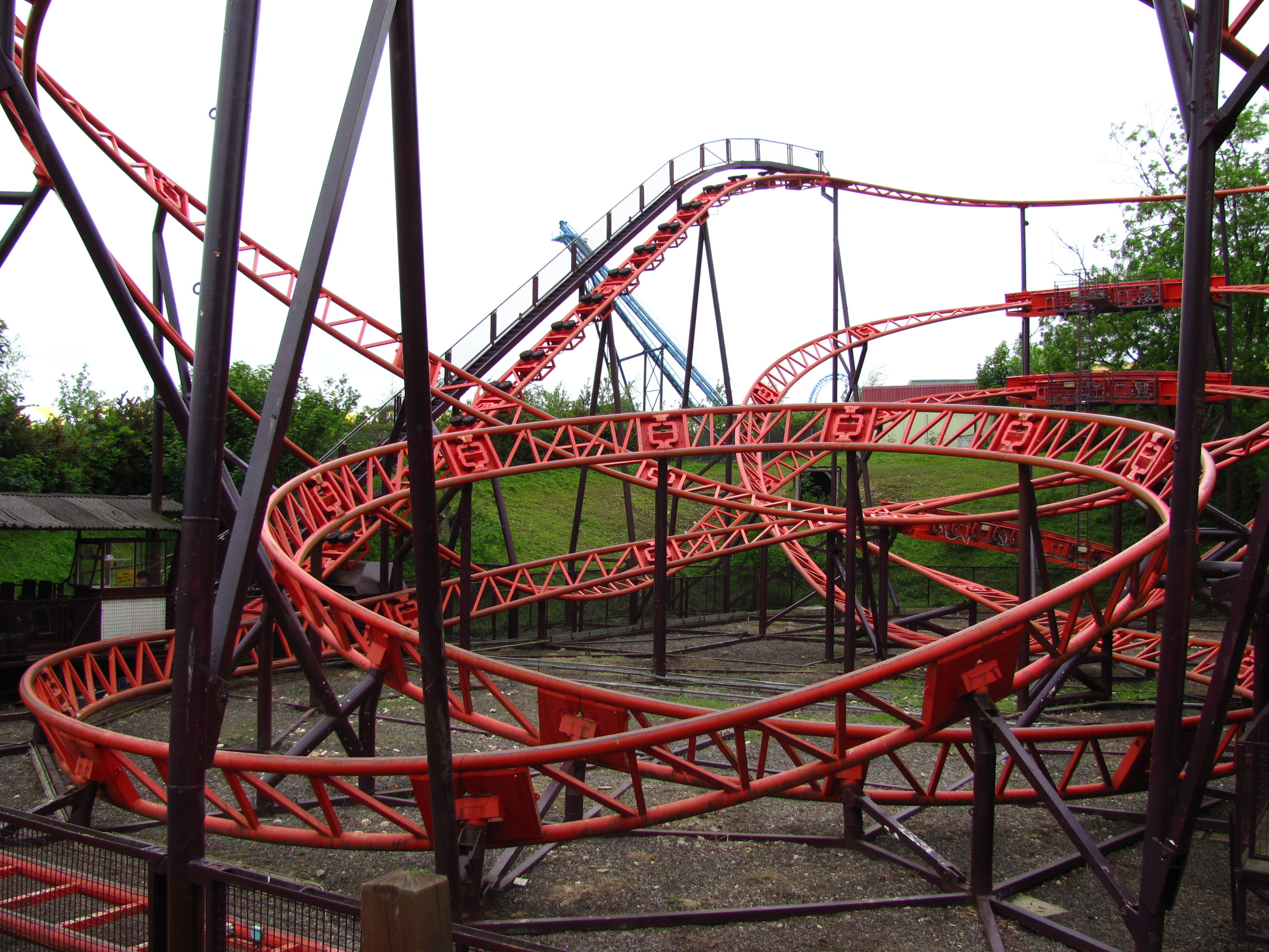
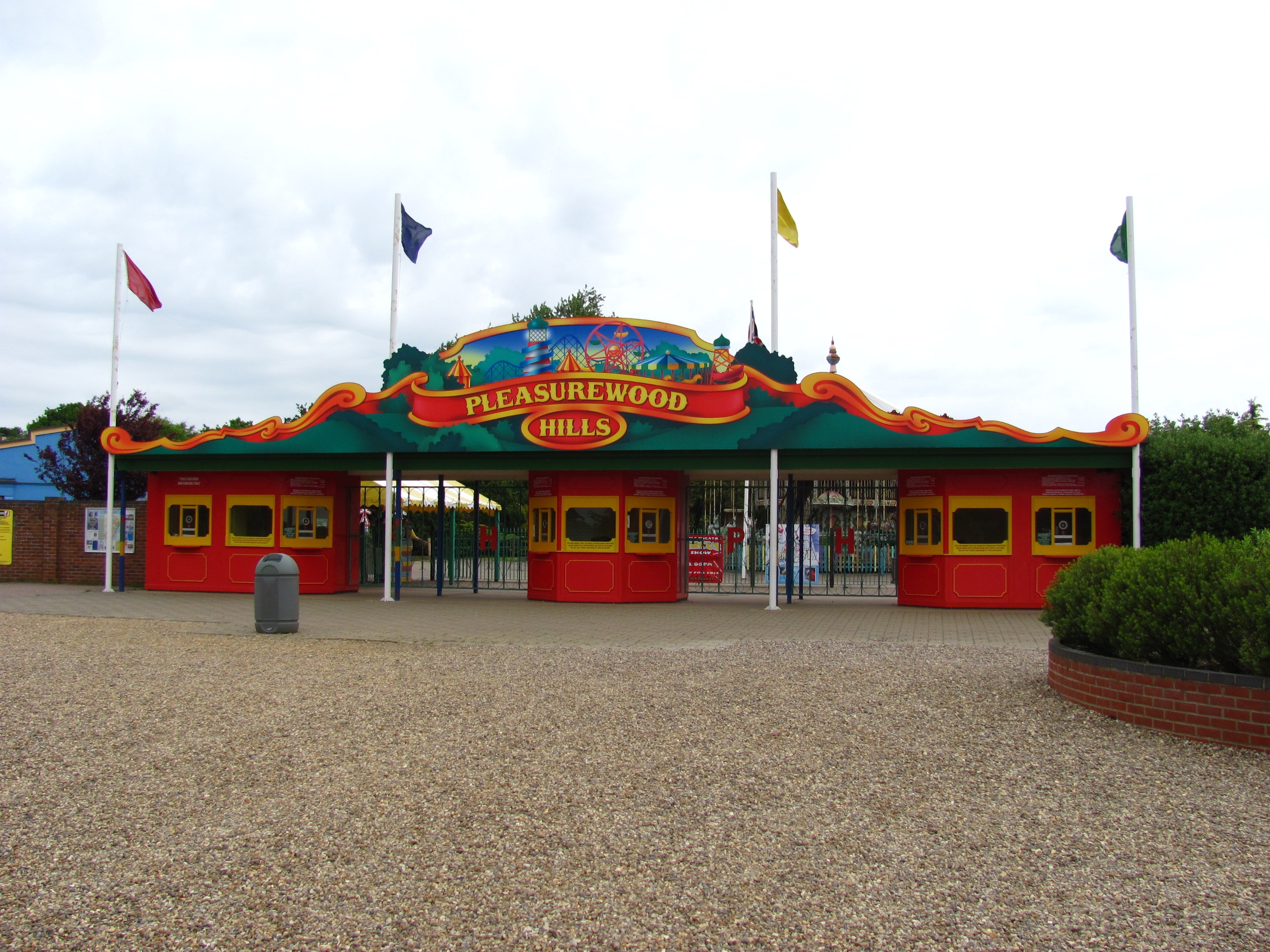
Cannonball Express (roller coaster)

Cannonball Express is a roller coaster located at Pleasurewood Hills, Corton, near Lowestoft, Suffolk. It is the only Schwarzkopf Jumbo V coaster to be...

Nearby Amenities

Located within 500m of 52.500577,1.7533495
Source: PGS
Lat/Long: 52.4976596/1.7578984
Source: PGS
Lat/Long: 52.498463/1.757772
Source: PGS
Lat/Long: 52.499739/1.757316
Source: PGS
Lat/Long: 52.500755/1.756447
Source: PGS
Lat/Long: 52.501775/1.755999
Source: PGS
Lat/Long: 52.502539/1.755557
Source: PGS
Lat/Long: 52.503559/1.755109
Source: PGS
Lat/Long: 52.504831/1.754233
Bus Stop
Tramps Alley
Bus: yes
Naptan AtcoCode: 390070398
Naptan Bearing: S
Naptan BusStopType: CUS
Naptan CommonName: Tramps Alley
Naptan Indicator: adj
Naptan Landmark: Tramps Alley
Naptan NaptanCode: sufjadpj
Naptan Street: Corton Road
Naptan Verified: no
Public Transport: platform
Shelter: no
Source: naptan_import
Lat/Long: 52.504814/1.7509138
Bus Stop
Hubbards Avenue
Bus: yes
Naptan AtcoCode: 390070542
Naptan Bearing: W
Naptan CommonName: Hubbards Avenue
Naptan Indicator: adj
Naptan Landmark: Hubbards Avenue
Naptan NaptanCode: sufjampa
Naptan PlusbusZoneRef: LOWSTFT
Naptan Street: Harrington Avenue
Naptan Verified: no
Public Transport: platform
Source: naptan_import
Lat/Long: 52.4993318/1.7467912
Bus Stop
Harrington Avenue
Bus: yes
Naptan AtcoCode: 390070544
Naptan Bearing: NE
Naptan CommonName: Harrington Avenue
Naptan Indicator: o/s 25
Naptan Landmark: Harrington Avenue
Naptan NaptanCode: sufjampg
Naptan PlusbusZoneRef: LOWSTFT
Naptan Street: Harrington Avenue
Naptan Verified: no
Public Transport: platform
Source: naptan_import
Lat/Long: 52.4979159/1.7480414
Turning Circle
Lat/Long: 52.4991619/1.749404
Man Made: water_well
Lat/Long: 52.4992387/1.7484391
Building: bunker
Bunker Type: pillbox
Disused: yes
Military: bunker
Lat/Long: 52.4972971/1.7556138
Building: bunker
Bunker Type: pillbox
Disused: yes
Military: bunker
Lat/Long: 52.4994319/1.7539159
Building: bunker
Bunker Type: pillbox
Disused: yes
Military: bunker
Lat/Long: 52.5025468/1.7527678
Building: bunker
Bunker Type: pillbox
Disused: yes
Military: bunker
Lat/Long: 52.4991524/1.7533203
Building: bunker
Bunker Type: pillbox
Disused: yes
Military: bunker
Lat/Long: 52.4986544/1.7536475
Man Made: outfall
Note: End of drain from land
Source: https://www.lowestoftjournal.co.uk/news/22910440.experts-respond-concerns-drying-natural-spring/
Substance: rainwater
Lat/Long: 52.4980798/1.7544982
Building: bunker
Bunker Type: pillbox
Disused: yes
Military: bunker
Lat/Long: 52.4980932/1.7550151
Building: bunker
Bunker Type: pillbox
Disused: yes
Military: bunker
Lat/Long: 52.5002829/1.7530361
Generator Method: photovoltaic
Generator Output Electricity: yes
Generator Source: solar
Generator Type: solar_photovoltaic_panel
Location: roof
Power: generator
Lat/Long: 52.4976896/1.7492563
Generator Method: photovoltaic
Generator Output Electricity: yes
Generator Source: solar
Generator Type: solar_photovoltaic_panel
Location: roof
Power: generator
Lat/Long: 52.4981305/1.7498168
Generator Method: photovoltaic
Generator Output Electricity: yes
Generator Source: solar
Generator Type: solar_photovoltaic_panel
Location: roof
Power: generator
Lat/Long: 52.4980178/1.7491838
Generator Method: photovoltaic
Generator Output Electricity: yes
Generator Source: solar
Generator Type: solar_photovoltaic_panel
Location: roof
Power: generator
Lat/Long: 52.498684/1.749098
Generator Method: photovoltaic
Generator Output Electricity: yes
Generator Source: solar
Generator Type: solar_photovoltaic_panel
Location: roof
Power: generator
Lat/Long: 52.4986873/1.749047
Generator Method: photovoltaic
Generator Output Electricity: yes
Generator Source: solar
Generator Type: solar_photovoltaic_panel
Location: roof
Power: generator
Lat/Long: 52.4981435/1.7485991
Generator Method: photovoltaic
Generator Output Electricity: yes
Generator Source: solar
Generator Type: solar_photovoltaic_panel
Location: roof
Power: generator
Lat/Long: 52.4985469/1.7473331
Generator Method: photovoltaic
Generator Output Electricity: yes
Generator Source: solar
Generator Type: solar_photovoltaic_panel
Location: roof
Power: generator
Lat/Long: 52.498346/1.7480117
Generator Method: photovoltaic
Generator Output Electricity: yes
Generator Source: solar
Generator Type: solar_photovoltaic_panel
Location: roof
Power: generator
Lat/Long: 52.499956/1.7466331
Generator Method: photovoltaic
Generator Output Electricity: yes
Generator Source: solar
Generator Type: solar_photovoltaic_panel
Location: roof
Power: generator
Lat/Long: 52.4990694/1.7471802
Generator Method: photovoltaic
Generator Output Electricity: yes
Generator Source: solar
Generator Type: solar_photovoltaic_panel
Location: roof
Power: generator
Lat/Long: 52.4990612/1.7472231
Generator Method: photovoltaic
Generator Output Electricity: yes
Generator Source: solar
Generator Type: solar_photovoltaic_panel
Location: roof
Power: generator
Lat/Long: 52.4996556/1.7480439
Generator Method: photovoltaic
Generator Output Electricity: yes
Generator Source: solar
Generator Type: solar_photovoltaic_panel
Location: roof
Power: generator
Lat/Long: 52.4996899/1.7477784
Generator Method: photovoltaic
Generator Output Electricity: yes
Generator Source: solar
Generator Type: solar_photovoltaic_panel
Location: roof
Power: generator
Lat/Long: 52.4993225/1.7475718
Generator Method: photovoltaic
Generator Output Electricity: yes
Generator Source: solar
Generator Type: solar_photovoltaic_panel
Location: roof
Power: generator
Lat/Long: 52.4993127/1.7476791
Generator Method: photovoltaic
Generator Output Electricity: yes
Generator Source: solar
Generator Type: solar_photovoltaic_panel
Location: roof
Power: generator
Lat/Long: 52.4996246/1.7486635
Generator Method: photovoltaic
Generator Output Electricity: yes
Generator Source: solar
Generator Type: solar_photovoltaic_panel
Location: roof
Power: generator
Lat/Long: 52.499298/1.7489853
Generator Method: photovoltaic
Generator Output Electricity: yes
Generator Source: solar
Generator Type: solar_photovoltaic_panel
Location: roof
Power: generator
Lat/Long: 52.4993486/1.7490765
Street Lamp
Lat/Long: 52.4994542/1.7514201
Colour: yellow
Marker: post
Material: concrete
Utility: gas
Lat/Long: 52.499397/1.7514027
The data included in this document is from www.openstreetmap.org. The data is made available under ODbL.

Have you been to Gunton Warren?

Leave your review of Gunton Warren below (or comments, questions and feedback).