Ayre of Valtos

Beach in Shetland

Scotland

Ayre of Valtos

The Groot, Stavaness Looking West towards The Groot from the sea loch of Stavaness, Nesting
The Groot, Stavaness Credit: Jeremy Duncan

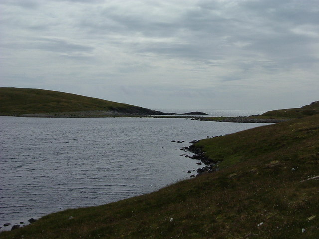
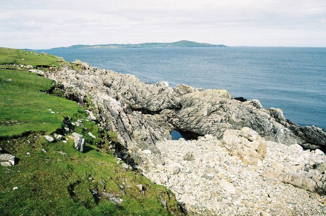
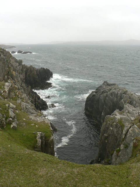
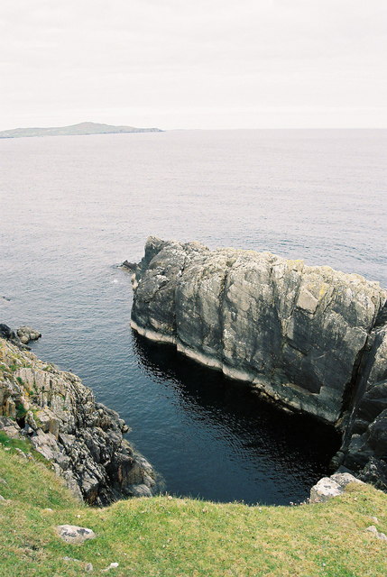
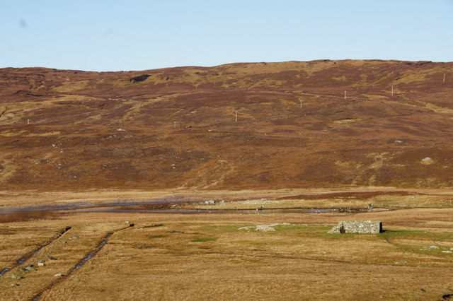
Ayre of Valtos is a picturesque beach located in the remote and rugged landscape of Shetland, an archipelago in Scotland. Situated on the western coast of the island, it offers a stunning view of the North Atlantic Ocean and is known for its pristine white sand and crystal-clear turquoise waters.

The beach is tucked away in a secluded bay, surrounded by towering cliffs and rolling hills covered in lush green vegetation. Its untouched beauty makes it a popular destination for nature lovers and photographers seeking tranquility and breathtaking scenery.

Ayre of Valtos is an ideal spot for various outdoor activities. The calm and shallow waters make it perfect for swimming, kayaking, and paddleboarding. The beach also attracts surfers, who come to challenge the occasional powerful waves that break against the shore.

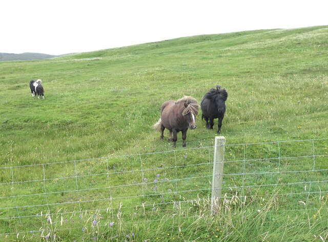
The surrounding area is rich in wildlife, offering excellent opportunities for birdwatching and seal spotting. Visitors may also encounter otters and dolphins frolicking in the water.

Ayre of Valtos is easily accessible by car or public transport, with a nearby parking area and well-maintained footpaths leading to the beach. Facilities such as public toilets and picnic areas are available to enhance visitors' experience.

Whether one seeks solitude, adventure, or simply a place to relax and soak in the breathtaking natural beauty, Ayre of Valtos is a hidden gem that showcases the raw and untamed beauty of Shetland's coastline.

If you have any feedback on the listing, please let us know in the comments section below.

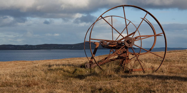
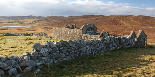
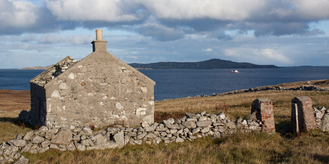
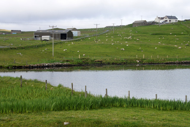
Ayre of Valtos Images

Images are sourced within 2km of 60.322506/-1.1101076 or Grid Reference HU4960. Thanks to Geograph Open Source API. All images are credited.

The Groot, Stavaness Looking West towards The Groot from the sea loch of Stavaness, Nesting
The Groot, Stavaness
Looking West towards The Groot from the sea loch of Stavaness, Nesting
Coastline at Valla Ness, looking NE to Whalsay The foreground shows the rough pasture and coastline in this part of Mainland Shetland.
The island of Whalsay, which lies North East of Lerwick, can clearly be seen in the distance, around 5km from where the picture was taken.
Coastline at Valla Ness, looking NE to Whalsay
The foreground shows the rough pasture and coastline in this part of Mainland Shetland. The island of Whalsay, which lies North East of Lerwick, can clearly be seen in the distance, around 5km from where the picture was taken.
Seli Geo
Seli Geo
Calm sea at Seli Geo - with Whalsay on the horizon
Old Farm Machinery, Nesting, Shetland Islands Old farm machinery at Nesting near Neap, Kirkabister, Shetland Islands, with the island of Whalsay in the distance
Old Farm Machinery, Nesting, Shetland Islands
Old farm machinery at Nesting near Neap, Kirkabister, Shetland Islands, with the island of Whalsay in the distance
Ruined croft near Neap, Shetland Islands A ruined croft near Neap, Kirkabister, Shetland Islands
Ruined croft near Neap, Shetland Islands
A ruined croft near Neap, Kirkabister, Shetland Islands
Ruined crofthouse near Neap, Shetland Islands A ruined crofthouse near Neap, Nesting, Shetland Islands, with the island of Whalsay in the distance
Ruined crofthouse near Neap, Shetland Islands
A ruined crofthouse near Neap, Nesting, Shetland Islands, with the island of Whalsay in the distance
The Vadill, Billister, at high tide Vadill means a place that can be waded across, but the tide is in.
The Vadill, Billister, at high tide
Vadill means a place that can be waded across, but the tide is in.
House between Billister and Laxfirth Overlooking the head of the Vadill.
House between Billister and Laxfirth
Overlooking the head of the Vadill.
Head of the Vadill, Billister The pink plant on the left is a garden escape, Sweet Rocket.
Head of the Vadill, Billister
The pink plant on the left is a garden escape, Sweet Rocket.
North Nesting Public Hall. Laxfirth
Loch of Kirkabister, Nesting
Coastal inlet Top of the coastal inlet
Coastal inlet
Top of the coastal inlet
Quoys pier Pier at Quoys
Quoys pier
Pier at Quoys
Quoys pier A small piece of land by Quoys Pier.  There is a picnic bench and space to pull up several cars, making a useful wild camping spot.
Quoys pier
A small piece of land by Quoys Pier. There is a picnic bench and space to pull up several cars, making a useful wild camping spot.
Loch of Kirkabister
Loch of Kirkabister
Windswept Shetland ponies at Kirkabister
Billister: the pier A tiny harbour on Lax Firth, an inlet from the much larger Dury Voe, which is in the background.
Billister: the pier
A tiny harbour on Lax Firth, an inlet from the much larger Dury Voe, which is in the background.
Show me another place!

Ayre of Valtos is located at Grid Ref: HU4960 (Lat: 60.322506, Lng: -1.1101076)

Unitary Authority: Shetland Islands

Police Authority: Highlands and Islands

What 3 Words

///jugs.clef.sitting. Near Symbister, Shetland Islands

Related Wikis

Billister

Billister is a settlement in the parish of Nesting, on the island of Mainland, in Shetland, Scotland. It is on Lax Firth. Billister was formerly the terminal...

Neap

Neap is a small village in the east coast of the Mainland of the Shetland Islands, Scotland. Neap is situated at the end of the road from Brettabister...

Nesting, Shetland

Nesting is a parish in the Shetland Islands, Scotland. It includes a part of the east Shetland Mainland, measuring about twelve by four miles (19 by 6...

Brettabister

Brettabister is a settlement on the island of Mainland in Shetland, Scotland. It is in the parish of Nesting. St. Ola's parish church lies to the east...

Nearby Amenities

Located within 500m of 60.322506,-1.1101076
Bight of Stavaness
Natural: bay
Lat/Long: 60.3240583/-1.1028815
Power: pole
Lat/Long: 60.3226544/-1.1110161
Power: pole
Lat/Long: 60.3226329/-1.1111369
Power: pole
Lat/Long: 60.3225425/-1.1117003
Power: pole
Lat/Long: 60.3223923/-1.1126043
Power: pole
Lat/Long: 60.3222068/-1.1136599
Power: pole
Lat/Long: 60.3220152/-1.1147976
Power: pole
Lat/Long: 60.3217998/-1.1161133
Power: pole
Lat/Long: 60.3215684/-1.117443
The data included in this document is from www.openstreetmap.org. The data is made available under ODbL.

Have you been to Ayre of Valtos?

Leave your review of Ayre of Valtos below (or comments, questions and feedback).