Smidda Tonga

Beach in Shetland

Scotland

Smidda Tonga

Fish farm on the Burn of Arisdale
Fish farm on the Burn of Arisdale Credit: Oliver Dixon

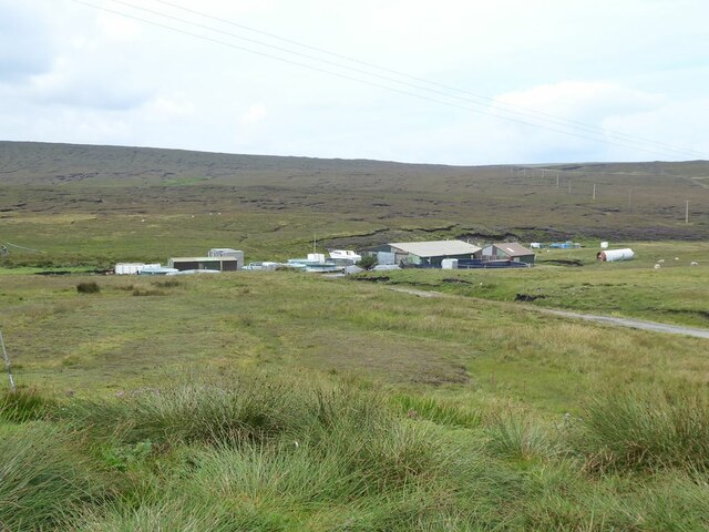
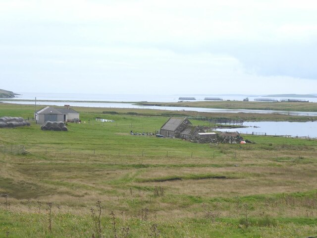
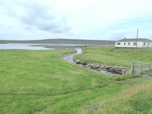
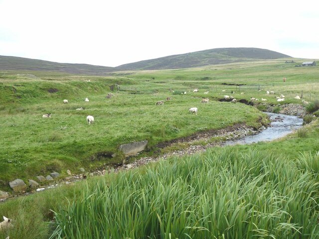
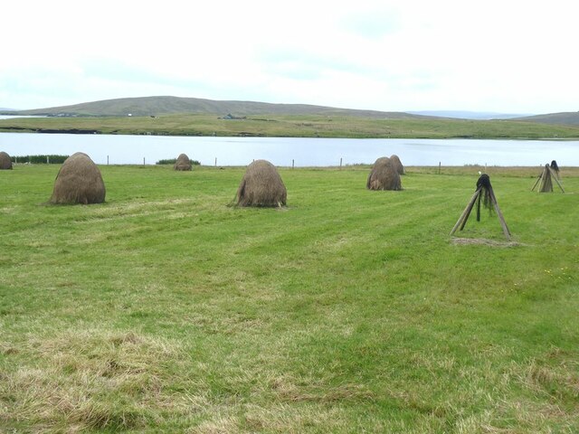
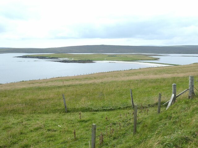
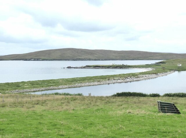
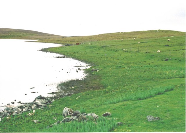
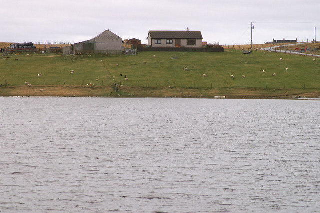
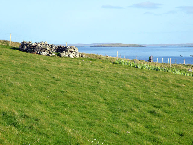
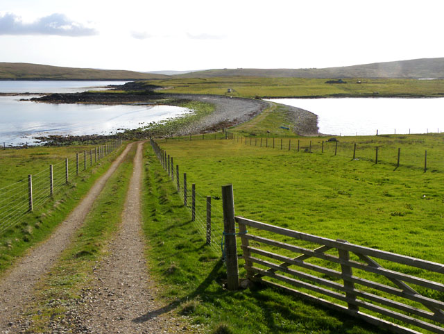
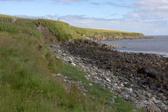
Smidda Tonga Beach, located in the picturesque Shetland Islands, is a stunning coastal destination renowned for its natural beauty and tranquility. Situated in the village of Cunningsburgh, on the southern coast of Mainland Shetland, this beach offers visitors a unique experience.

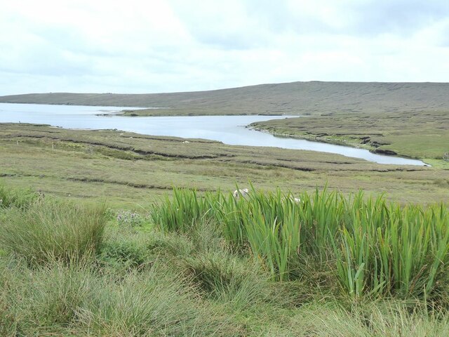
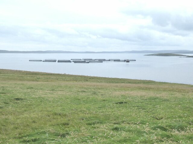
With its golden sandy shores and crystal-clear turquoise waters, Smidda Tonga Beach is an idyllic spot for beach lovers and nature enthusiasts alike. The beach is surrounded by dramatic cliffs, adding to its scenic charm and providing a sense of seclusion and privacy. The pristine waters make it an excellent spot for swimming, snorkeling, and even diving, with an array of marine life to discover.

The beach is also a haven for birdwatchers, as it is home to a variety of seabirds such as puffins, guillemots, and fulmars. Visitors can wander along the shoreline, exploring the rock pools and observing the fascinating intertidal ecosystems that thrive here.

Another notable feature of Smidda Tonga Beach is its connection to Viking history. The beach lies near the ruins of a Viking longhouse, adding an intriguing historical element to the area. This makes it an attractive destination for history enthusiasts seeking to immerse themselves in Shetland's rich cultural heritage.

Overall, Smidda Tonga Beach offers a peaceful and unspoiled environment, allowing visitors to connect with nature and unwind in a stunning setting. Whether you are seeking a relaxing beach day, an opportunity to explore marine life, or a glimpse into the region's past, Smidda Tonga Beach is a must-visit destination in Shetland.

If you have any feedback on the listing, please let us know in the comments section below.
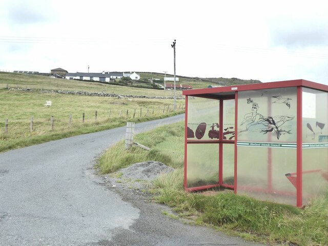
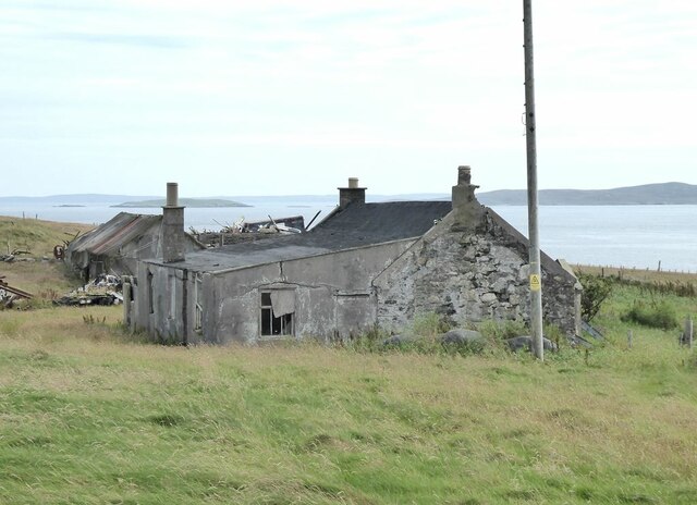
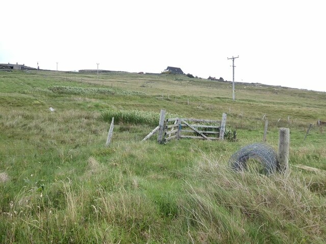
Smidda Tonga Images

Images are sourced within 2km of 60.493114/-1.1071852 or Grid Reference HU4979. Thanks to Geograph Open Source API. All images are credited.

Fish farm on the Burn of Arisdale
Mouth of the Burn of Arisdale At high tide.
Mouth of the Burn of Arisdale
At high tide.
Loch of Galtagarth Arm of the sea cut off at low tide by tidal flats at this end, and by a causeway at the far end. Fish farms out in the bay.
Loch of Galtagarth
Arm of the sea cut off at low tide by tidal flats at this end, and by a causeway at the far end. Fish farms out in the bay.
Mouth of the Burn of Hamnavoe
Welcome to Burravoe! Scarecrow beside the road.
Welcome to Burravoe!
Scarecrow beside the road.
The Burn of Hamnavoe
Stooks of hay at Houlland Loch of Galtagarth and Ness of Galtagarth <a href="https://www.geograph.org.uk/gridref/HU4979">HU4979</a> beyond, with Ness of Copister <a href="https://www.geograph.org.uk/gridref/HU4978">HU4978</a> on the skyline.
Stooks of hay at Houlland
Loch of Galtagarth and Ness of Galtagarth HU4979 beyond, with Ness of Copister HU4978 on the skyline.
Pasture at Houlland The Ness of Galtagarth <a href="https://www.geograph.org.uk/gridref/HU4979">HU4979</a> in the middle distance, connected to the mainland by causeway. The enclosed water to the right is the Loch of Galtagarth.
Pasture at Houlland
The Ness of Galtagarth HU4979 in the middle distance, connected to the mainland by causeway. The enclosed water to the right is the Loch of Galtagarth.
Fish farm Off the south coast of the Isle of Yell. The island of Orfosay <a href="https://www.geograph.org.uk/gridref/HU4977">HU4977</a> to the right. Shetland Mainland in the distance.
Fish farm
Off the south coast of the Isle of Yell. The island of Orfosay HU4977 to the right. Shetland Mainland in the distance.
Decorated bus shelter for Houlland The Shetlanders make a great thing of their bus shelters.
Decorated bus shelter for Houlland
The Shetlanders make a great thing of their bus shelters.
Derelict farm buildings at Burraness
Hillside at Houlland
Galtagarth causeway Linking the Ness of Galtagarth to the mainland. The Loch of Galtagarth to the right. The Ness of Copister <a href="https://www.geograph.org.uk/gridref/HU4878">HU4878</a> beyond.
Galtagarth causeway
Linking the Ness of Galtagarth to the mainland. The Loch of Galtagarth to the right. The Ness of Copister HU4878 beyond.
Houlland Sheep graze by the shore of the Loch of Littlester
Houlland
Sheep graze by the shore of the Loch of Littlester
House at the west end of Loch of Littlester
Farmland near Houlland To the right can be seen Hamna Voe.
Farmland near Houlland
To the right can be seen Hamna Voe.
Ayre of Galtagarth Track down to the Ayre of Galtagarth and the Ness of Galtagarth beyond.
Ayre of Galtagarth
Track down to the Ayre of Galtagarth and the Ness of Galtagarth beyond.
Coastline east of Galtagarth
Show me another place!

Smidda Tonga is located at Grid Ref: HU4979 (Lat: 60.493114, Lng: -1.1071852)

Unitary Authority: Shetland Islands

Police Authority: Highlands and Islands

What 3 Words

///message.variances.daunting. Near Ulsta, Shetland Islands

Related Wikis

Copister

Copister is a village in Yell. It is a former centre for haaf fishing, and has a shingle beach. == References == Blackadder, Jill Slee (2003). Shetland...

Orfasay

Orfasay (Old Norse: Orfyrisey, meaning "tidal island") is one of the Shetland Islands. == Geography == Orfasay is a tidal island in Yell Sound, connected...

Old Haa Museum

The Old Haa of Brough in located in Burravoe, Yell, Shetland, Scotland. Built for Robert Tyrie, a merchant, in 1672, houses the local museum for Burravoe...

Ulsta

Ulsta is a village in the south-west of the island of Yell, Shetland, Scotland. North Ness Hall is the local community facility. The car ferry to Toft...

Have you been to Smidda Tonga?

Leave your review of Smidda Tonga below (or comments, questions and feedback).