Ness of Galtagarth
Coastal Feature, Headland, Point in Shetland
Scotland
Ness of Galtagarth

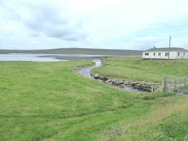
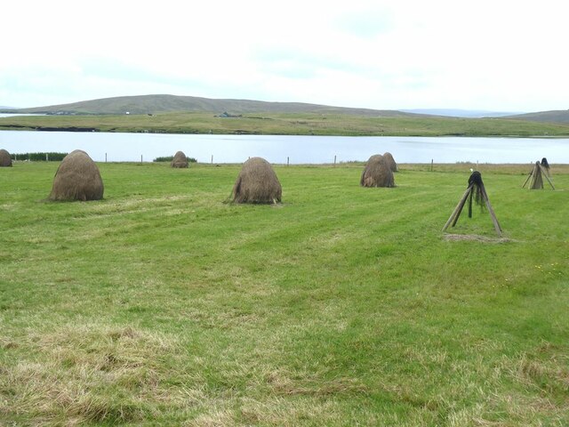
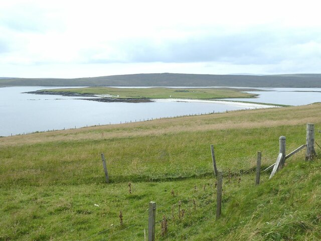
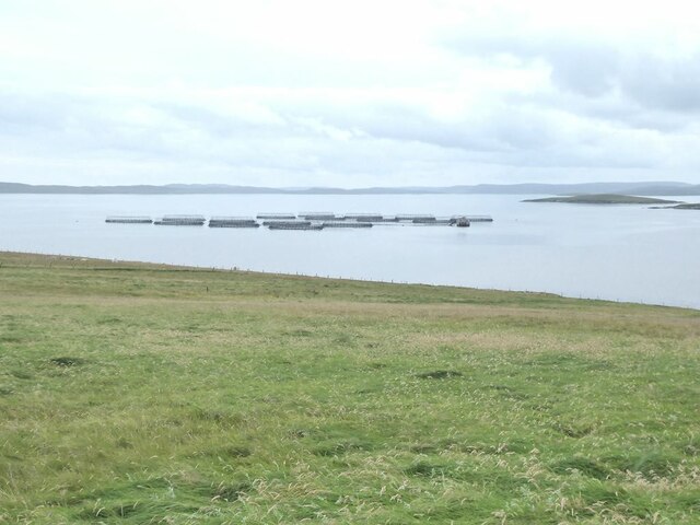
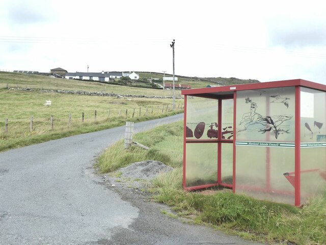
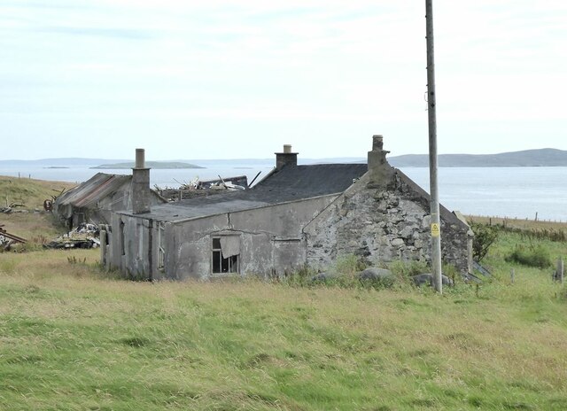
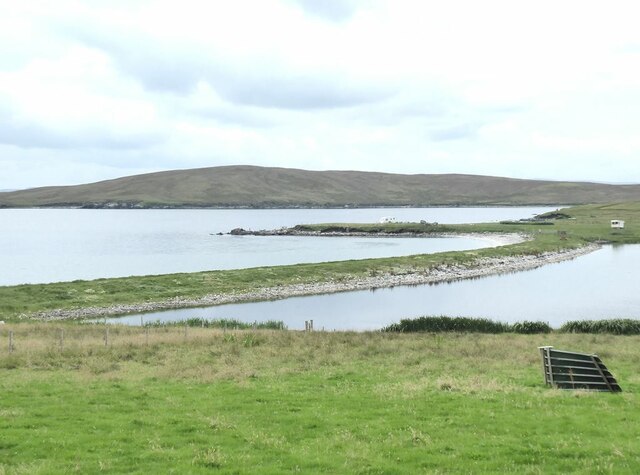
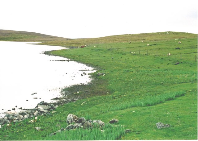
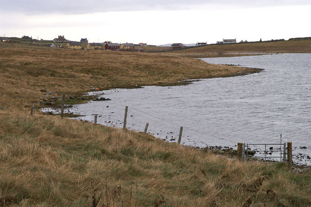
Ness of Galtagarth is a prominent coastal feature located in the Shetland Islands, an archipelago in the North Atlantic Ocean. Situated on the eastern coast of the main island, known as Mainland, this headland offers breathtaking views of the surrounding rugged landscape and the vast expanse of the ocean.
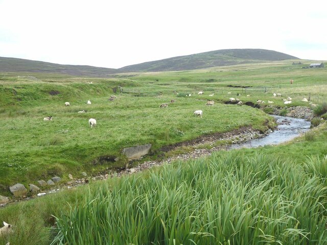
The Ness of Galtagarth is characterized by its towering cliffs, which rise dramatically from the sea, providing a spectacular backdrop to the area. The headland is composed mainly of sedimentary rocks, with layers of sandstone and shale clearly visible in the cliff faces. These rocks, formed millions of years ago, offer a glimpse into the geological history of the region.
The headland serves as an important landmark for navigators, as it juts out into the North Sea, marking the entrance to a bay. The rugged and rocky nature of the coastline around the Ness of Galtagarth also makes it a popular spot for birdwatchers and wildlife enthusiasts. The cliffs provide nesting sites for a variety of seabirds, including puffins, guillemots, and fulmars. During the summer months, the area comes alive with the sights and sounds of these magnificent creatures.
Visitors to the Ness of Galtagarth can enjoy scenic walks along the cliff-top paths, providing panoramic views of the ocean and the surrounding coastline. The headland is also a great spot for photography, with its dramatic scenery and the opportunity to capture stunning sunsets over the sea.
Overall, the Ness of Galtagarth is a captivating coastal feature, offering visitors a chance to appreciate the natural beauty and wildlife of the Shetland Islands.
If you have any feedback on the listing, please let us know in the comments section below.
Ness of Galtagarth Images
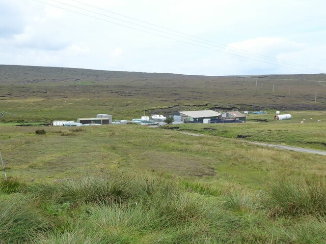
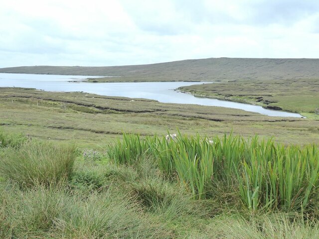
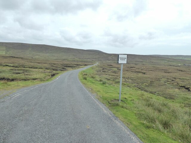
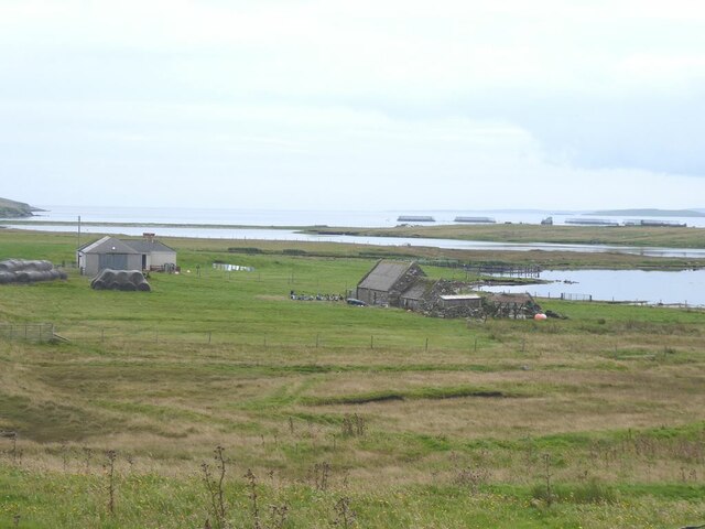
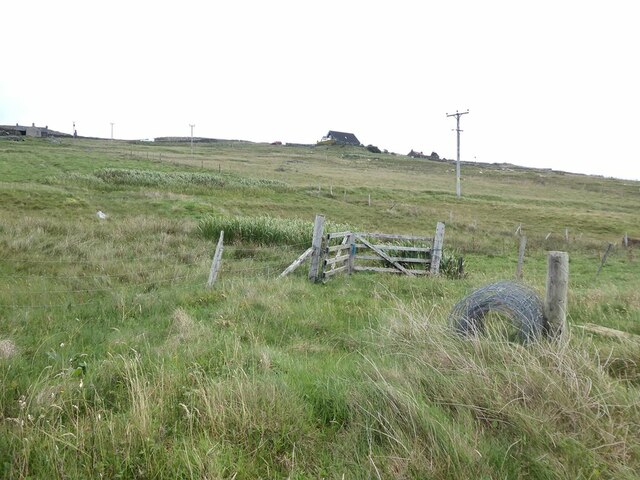
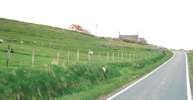
Images are sourced within 2km of 60.498686/-1.1025904 or Grid Reference HU4979. Thanks to Geograph Open Source API. All images are credited.
Ness of Galtagarth is located at Grid Ref: HU4979 (Lat: 60.498686, Lng: -1.1025904)
Unitary Authority: Shetland Islands
Police Authority: Highlands and Islands
What 3 Words
///viewers.weekends.recorders. Near Ulsta, Shetland Islands
Nearby Locations
Related Wikis

Copister
Copister is a village in Yell. It is a former centre for haaf fishing, and has a shingle beach. == References == Blackadder, Jill Slee (2003). Shetland...

Orfasay
Orfasay (Old Norse: Orfyrisey, meaning "tidal island") is one of the Shetland Islands. == Geography == Orfasay is a tidal island in Yell Sound, connected...

Old Haa Museum
The Old Haa of Brough in located in Burravoe, Yell, Shetland, Scotland. Built for Robert Tyrie, a merchant, in 1672, houses the local museum for Burravoe...

Burravoe
Burravoe is a community on the north shore of Burra Voe, in the south-east part of the island of Yell in the Shetland Islands, Scotland. The name Burravoe...
Have you been to Ness of Galtagarth?
Leave your review of Ness of Galtagarth below (or comments, questions and feedback).