Catta Ness
Coastal Feature, Headland, Point in Shetland
Scotland
Catta Ness
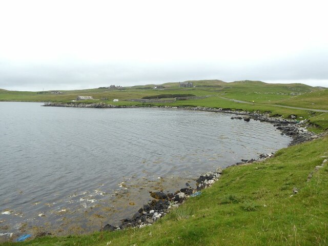
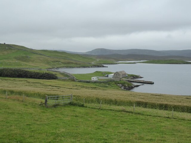
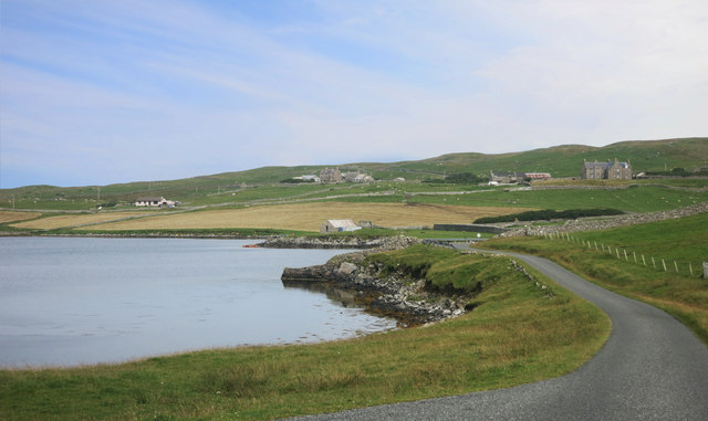
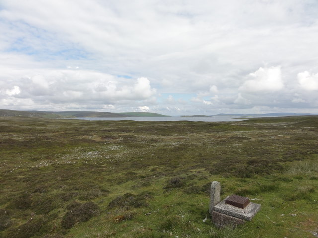
Catta Ness is a prominent coastal feature located on the island of Shetland, which is part of Scotland. It is a headland, or a narrow strip of land that extends out into the sea, forming a point. Catta Ness is situated on the eastern coast of Shetland, near the town of Cunningsburgh.
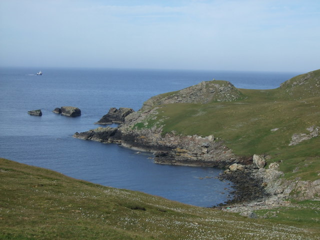
The headland is characterized by rugged cliffs that rise steeply from the North Sea, providing breathtaking views of the surrounding area. These cliffs are composed of layers of sedimentary rocks, showcasing the geological history of the region. Catta Ness is also home to several sea caves, which have been formed by the constant erosion of the waves over time.
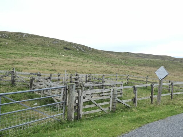
The headland is rich in biodiversity and serves as a habitat for various bird species, including puffins, guillemots, and kittiwakes. It is a popular spot for birdwatchers who come to observe the diverse avian population. Additionally, Catta Ness offers opportunities for coastal walks and hikes, allowing visitors to explore the unique geology and stunning natural beauty of the area.
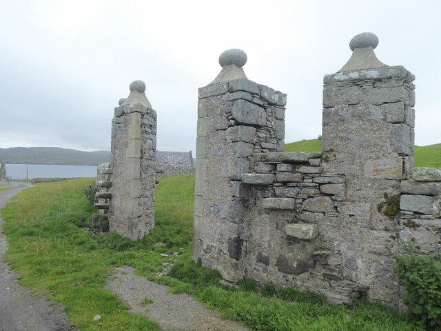
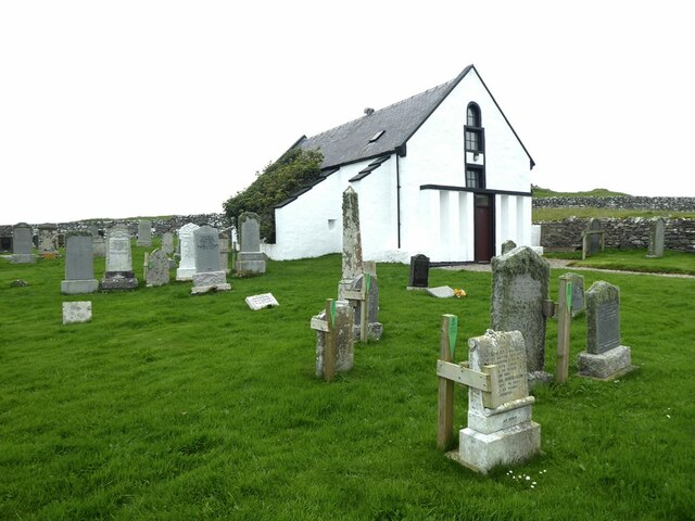
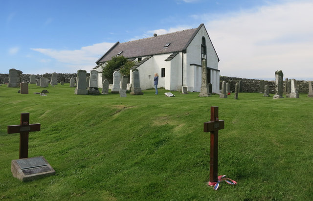
In addition to its natural attractions, Catta Ness is also of historical significance. The headland is home to the ruins of several ancient structures, including a broch, which is an Iron Age drystone tower. These archaeological remains provide insights into the island's rich cultural heritage and offer visitors a glimpse into the past.
Overall, Catta Ness is a captivating coastal feature in Shetland, offering a blend of natural beauty, wildlife, and historical significance.
If you have any feedback on the listing, please let us know in the comments section below.
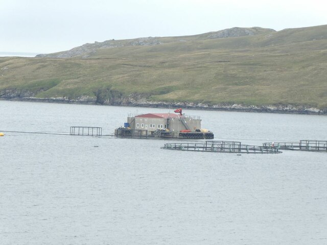
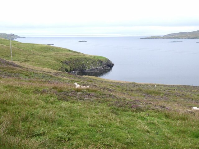
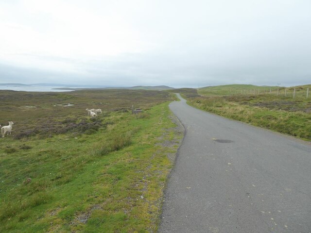
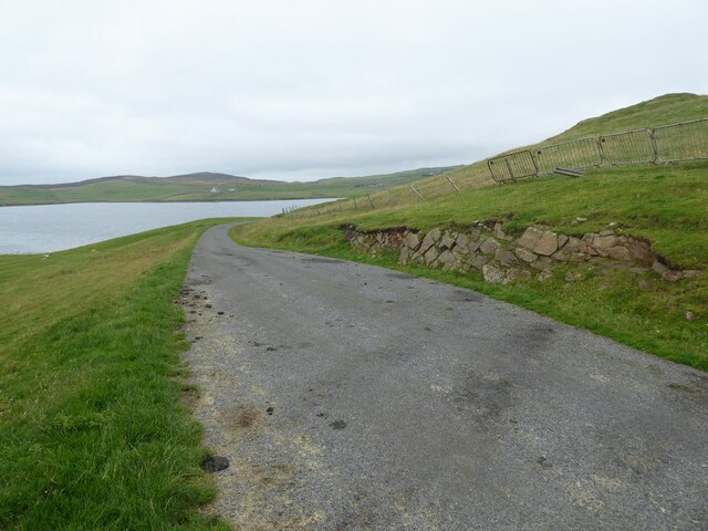
Catta Ness Images
Images are sourced within 2km of 60.391228/-1.1029537 or Grid Reference HU4967. Thanks to Geograph Open Source API. All images are credited.

Catta Ness is located at Grid Ref: HU4967 (Lat: 60.391228, Lng: -1.1029537)
Unitary Authority: Shetland Islands
Police Authority: Highlands and Islands
What 3 Words
///firewall.sporting.hovered. Near Vidlin, Shetland Islands
Nearby Locations
Related Wikis

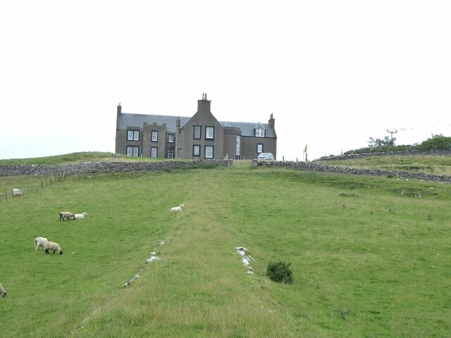
Lunna House
Lunna House is a 17th-century laird's house on Lunna Ness in the Shetland Islands. Lunna House is noted for having "the best historic designed landscape...

Vidlin
Vidlin (from Old Norse: Vaðill meaning a ford) is a small village located on Mainland, Shetland, Scotland. The settlement is within the parish of Nesting...

Lunna Ness
Lunna Ness is a peninsula in the north east of Mainland, Shetland, Scotland , in the parish of Lunnasting near Vidlin. The island of Lunna Holm is nearby...

Little Linga
Little Linga is a small island in the Shetland Islands. It is near West Linga and Vidlin on Mainland, Shetland. It is 20 metres (66 ft) at its highest...
Have you been to Catta Ness?
Leave your review of Catta Ness below (or comments, questions and feedback).