The Taing
Coastal Feature, Headland, Point in Shetland
Scotland
The Taing
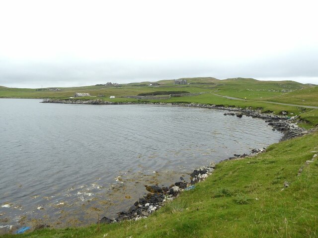
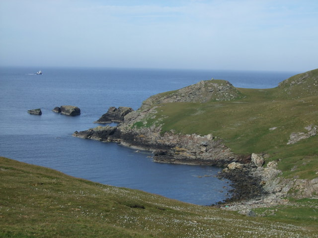
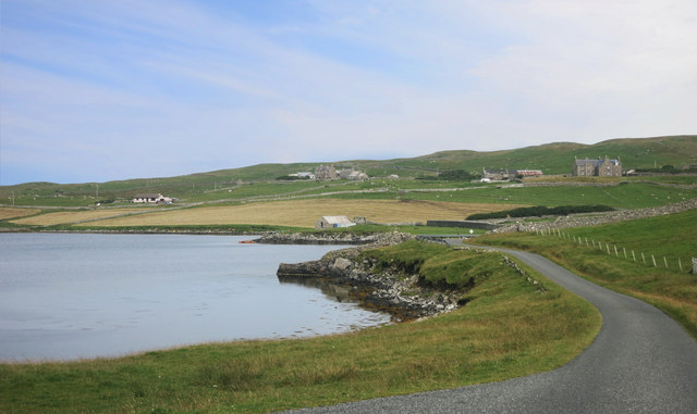
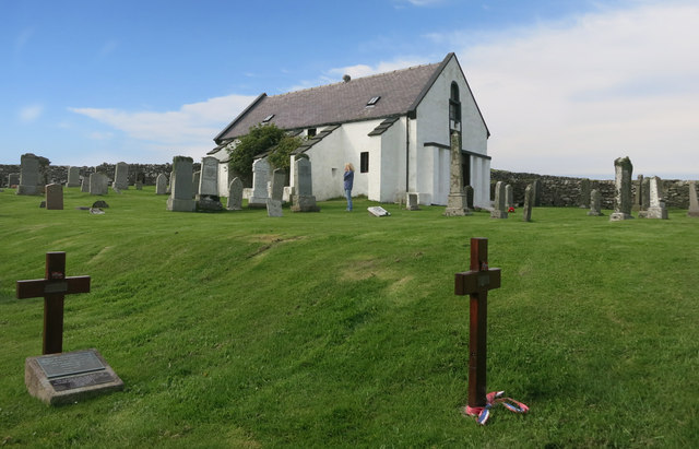
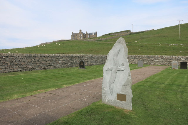
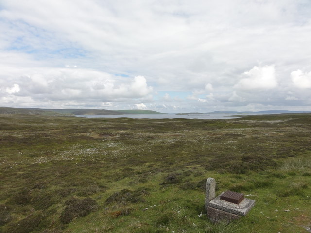
The Taing is a prominent coastal feature located in the region of Shetland, a group of islands situated off the northeastern coast of Scotland. It is classified as a headland or point, jutting out into the North Sea. The Taing is specifically situated on the east coast of the Shetland Mainland, near the village of Vidlin.
This coastal feature is characterized by its rugged and rocky terrain, featuring steep cliffs that rise dramatically from the sea. The cliffs at The Taing offer breathtaking panoramic views of the surrounding coastline and the vast expanse of the North Sea. The area is known for its pristine beauty and is often frequented by hikers, nature enthusiasts, and photographers.
The Taing also serves as an important site for wildlife conservation. The cliffs provide nesting grounds for various seabird species, including puffins, guillemots, and razorbills. The surrounding waters are home to a diverse range of marine life, with seals and otters often spotted in the vicinity.
Access to The Taing is relatively easy, with a well-maintained footpath that leads visitors to the headland. There are also designated viewpoints and picnic areas for visitors to enjoy the stunning scenery.
Overall, The Taing in Shetland is a captivating coastal feature that showcases the rugged beauty of the region. With its dramatic cliffs, abundant wildlife, and stunning vistas, it is a must-visit destination for nature lovers and those seeking a glimpse of the untamed Scottish coastline.
If you have any feedback on the listing, please let us know in the comments section below.
The Taing Images
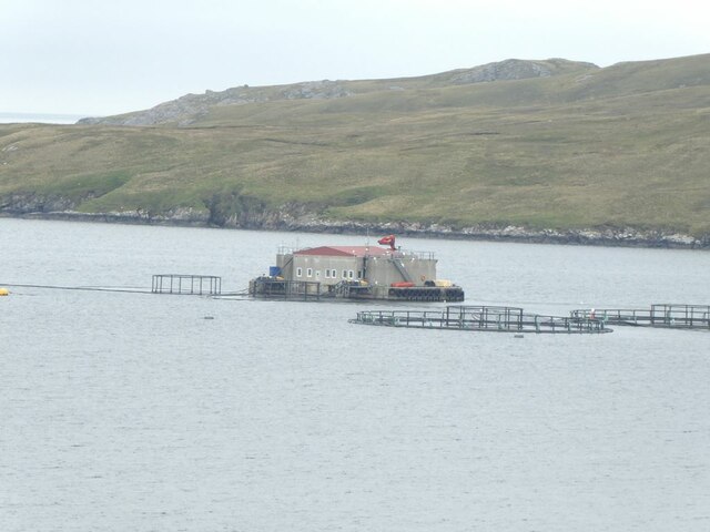
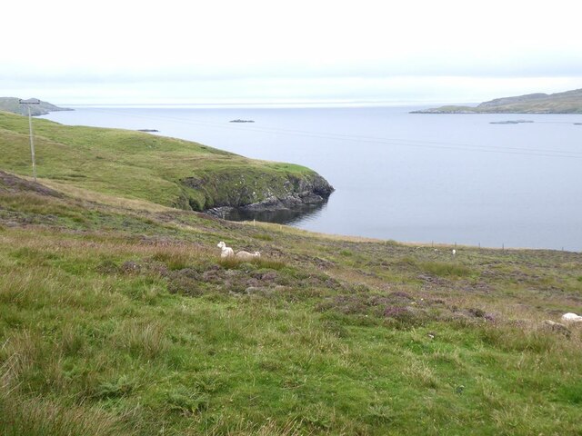
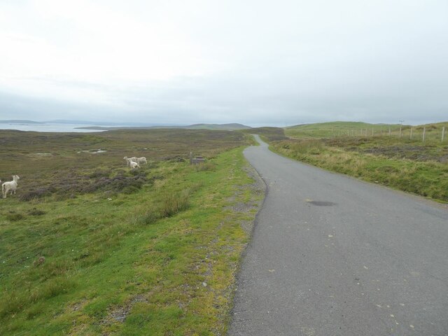
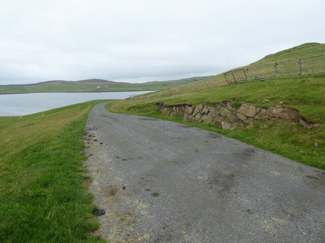
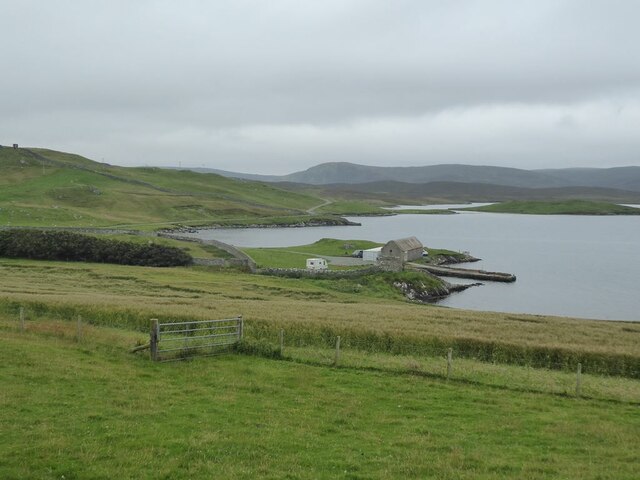
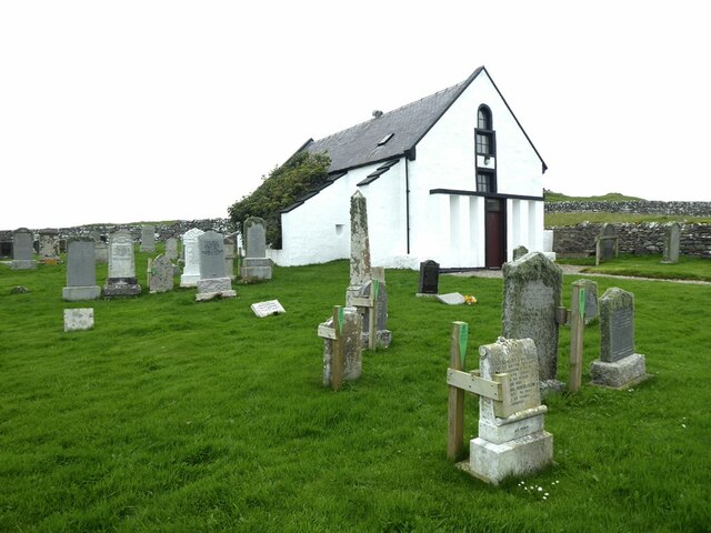
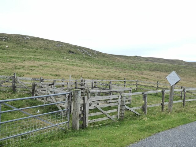
Images are sourced within 2km of 60.392876/-1.1075715 or Grid Reference HU4967. Thanks to Geograph Open Source API. All images are credited.


The Taing is located at Grid Ref: HU4967 (Lat: 60.392876, Lng: -1.1075715)
Unitary Authority: Shetland Islands
Police Authority: Highlands and Islands
What 3 Words
///sensible.collides.galleries. Near Vidlin, Shetland Islands
Nearby Locations
Related Wikis

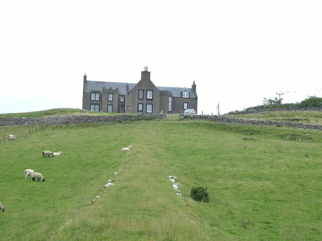
Lunna House
Lunna House is a 17th-century laird's house on Lunna Ness in the Shetland Islands. Lunna House is noted for having "the best historic designed landscape...

Vidlin
Vidlin (from Old Norse: Vaðill meaning a ford) is a small village located on Mainland, Shetland, Scotland. The settlement is within the parish of Nesting...

Lunna Ness
Lunna Ness is a peninsula in the north east of Mainland, Shetland, Scotland , in the parish of Lunnasting near Vidlin. The island of Lunna Holm is nearby...

Little Linga
Little Linga is a small island in the Shetland Islands. It is near West Linga and Vidlin on Mainland, Shetland. It is 20 metres (66 ft) at its highest...
Have you been to The Taing?
Leave your review of The Taing below (or comments, questions and feedback).