Ayre of Ness
Beach in Shetland
Scotland
Ayre of Ness
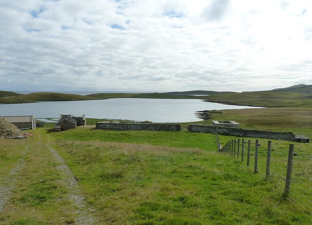
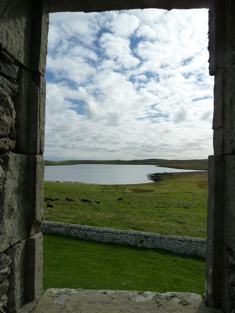
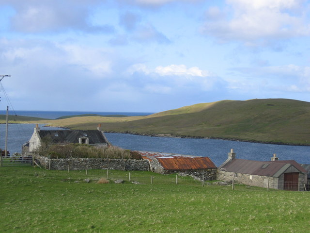
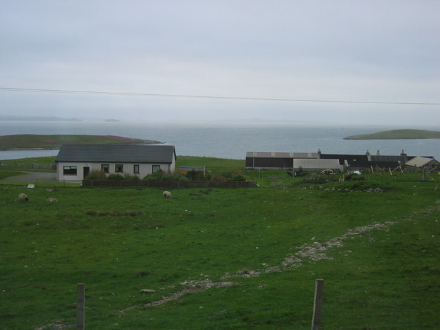
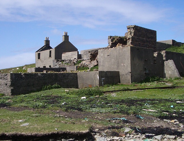
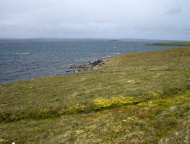
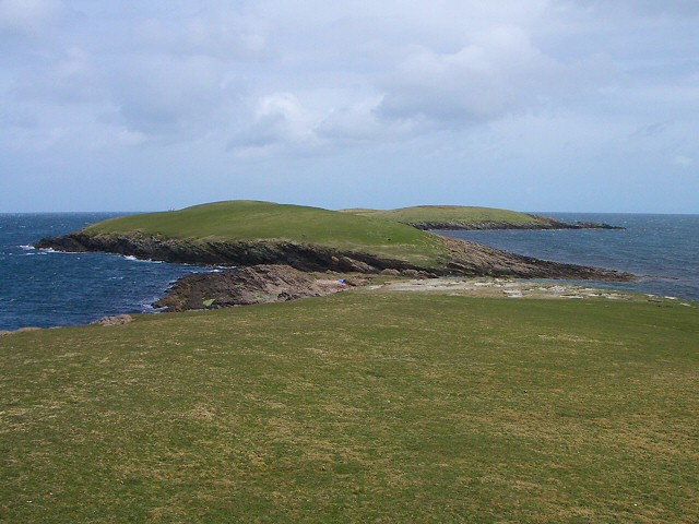
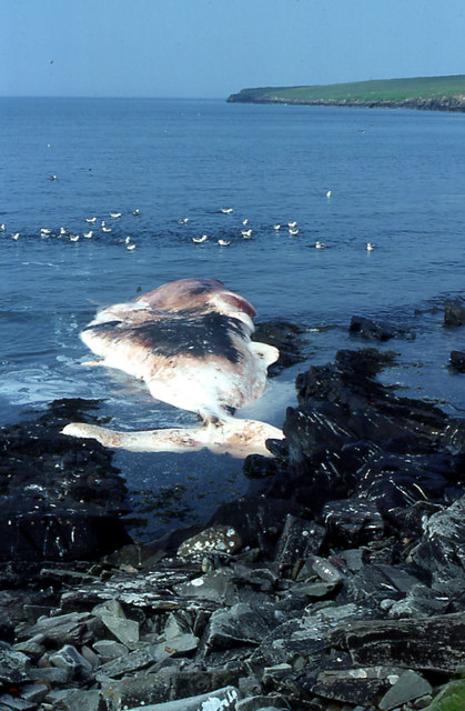
Ayre of Ness is a picturesque beach located in the small village of Ness, situated on the remote island of Shetland, Scotland. With its pristine golden sands and crystal-clear turquoise waters, this beach offers a stunning and tranquil retreat for nature lovers and beach enthusiasts alike.
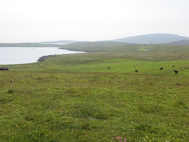
Stretching approximately 1.5 kilometers along the coast, Ayre of Ness boasts a wide expanse of sandy beach, making it perfect for long walks or picnics with family and friends. The beach is surrounded by breathtaking cliffs, providing a dramatic backdrop and adding to its natural beauty.
Ayre of Ness is known for its abundant wildlife, making it a popular spot for birdwatching. Visitors may catch glimpses of various species of seabirds, including puffins, guillemots, and fulmars, nesting on the cliffs or soaring above the waves. The beach also attracts seals, which can often be seen lounging on the rocks or swimming playfully in the shallows.
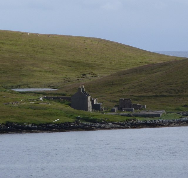
This beach is a hidden gem, offering a peaceful and secluded atmosphere due to its remote location. Accessible by a narrow road that winds through picturesque countryside, Ayre of Ness provides a sense of escape from the hustle and bustle of everyday life.
Overall, Ayre of Ness is a stunning coastal destination, offering breathtaking natural beauty, abundant wildlife, and a sense of tranquility that makes it a must-visit for those seeking a true escape into nature.
If you have any feedback on the listing, please let us know in the comments section below.
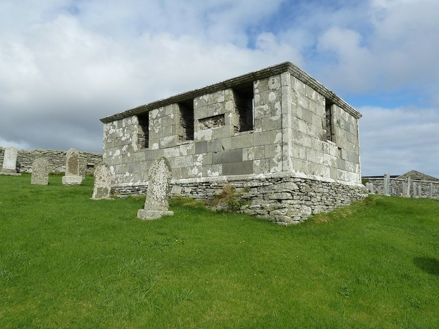
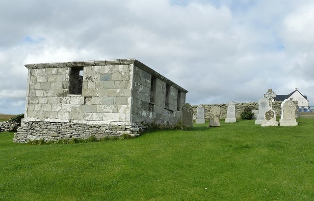
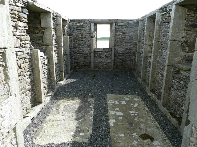
Ayre of Ness Images
Images are sourced within 2km of 60.180385/-1.1131612 or Grid Reference HU4944. Thanks to Geograph Open Source API. All images are credited.
Ayre of Ness is located at Grid Ref: HU4944 (Lat: 60.180385, Lng: -1.1131612)
Unitary Authority: Shetland Islands
Police Authority: Highlands and Islands
What 3 Words
///install.openings.equipping. Near Lerwick, Shetland Islands
Nearby Locations
Related Wikis

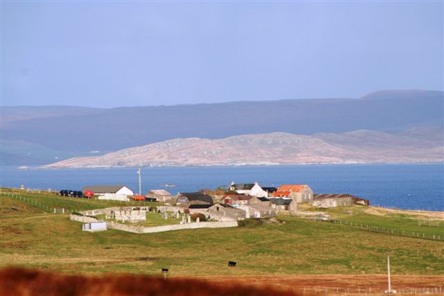
Gardie House
Gardie House is an 18th-century estate house on Bressay in Shetland, Scotland. Located opposite Lerwick, across the Bressay Sound, Gardie is described...

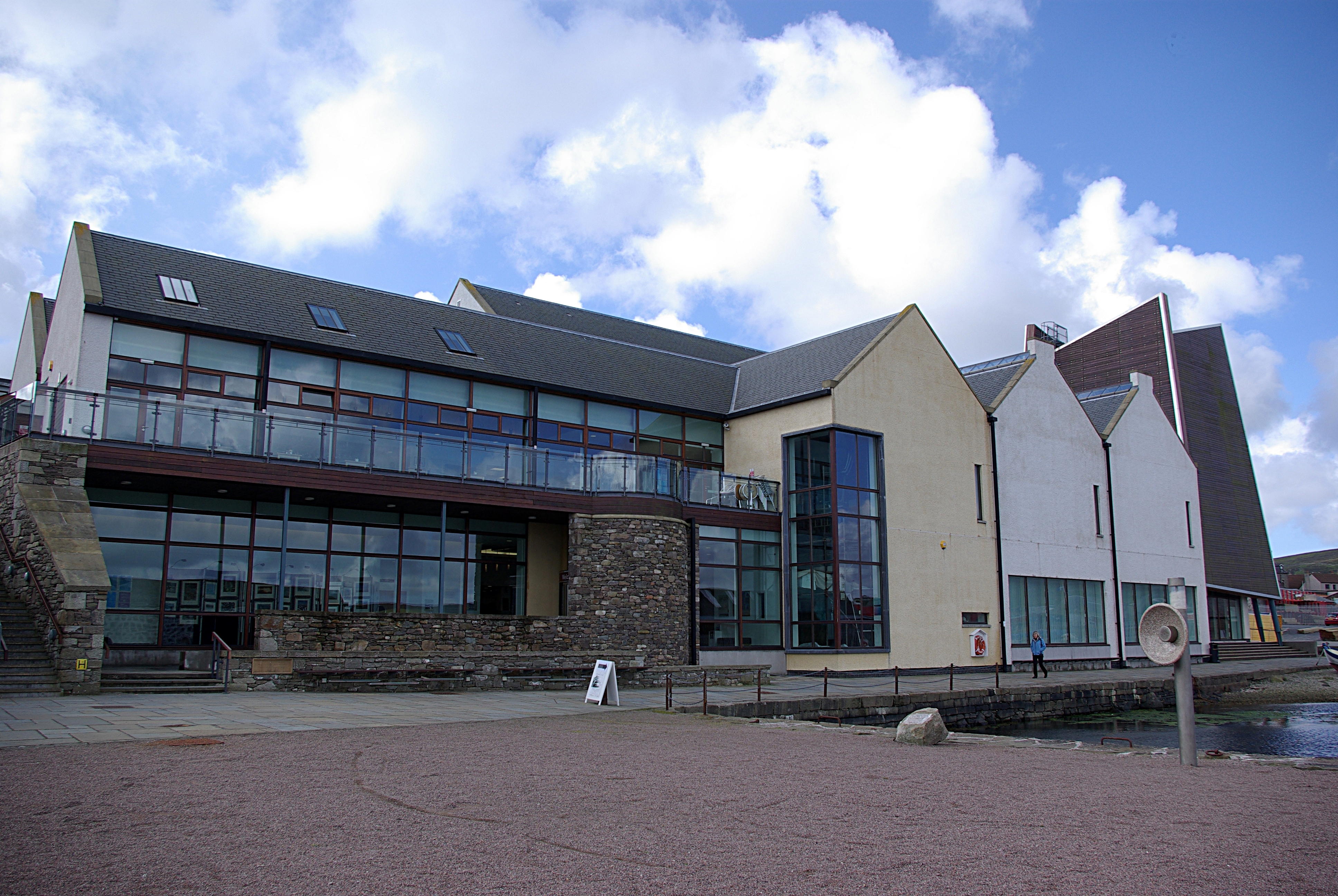
Mareel
Mareel is a multi-purpose entertainment venue located on the waterfront of Lerwick, the capital of Shetland. Opening in 2012, the facility includes a music...
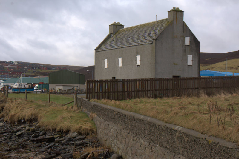
Böd of Gremista
The Böd of Gremista, situated at the north end of Lerwick, Shetland, Scotland, is a typical 18th century Shetland fishing booth (or böd). It is protected...
Shetland Museum
The Shetland Museum and Archives is a museum in Lerwick, Shetland, Scotland. The new Shetland Museum at Hay's Dock was officially opened on 31 May 2007...
Nearby Amenities
Located within 500m of 60.180385,-1.1131612Have you been to Ayre of Ness?
Leave your review of Ayre of Ness below (or comments, questions and feedback).