Ayre of Quier

Beach in Shetland

Scotland

Ayre of Quier

Mail Burial Ground Adjacent to the sea as is usual on Scottish islands.
Mail Burial Ground Credit: Oliver Dixon

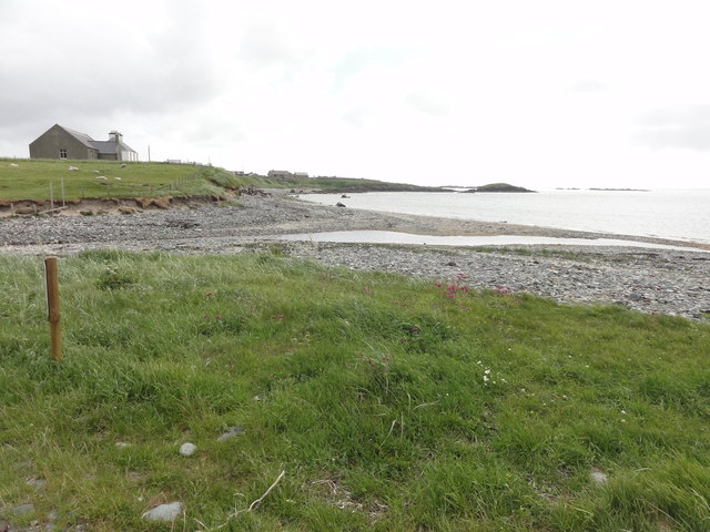
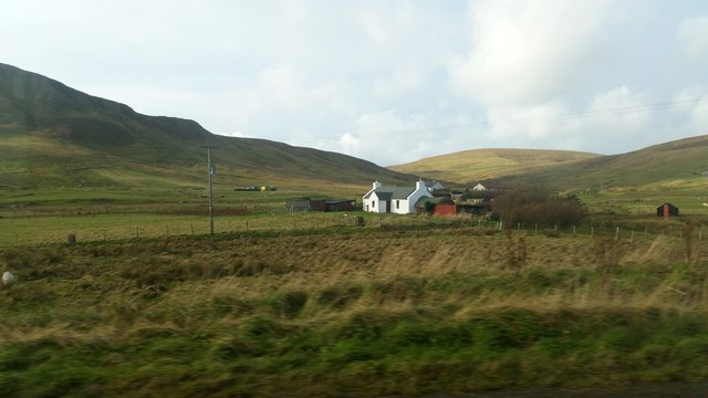
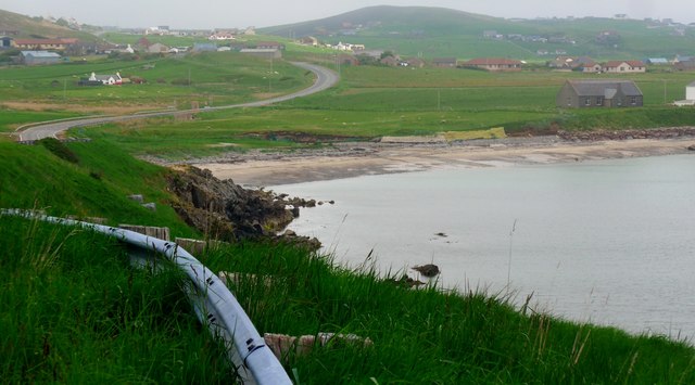
Ayre of Quier is a picturesque beach located on the island of Shetland, off the northern coast of Scotland. This sandy beach is situated at the southern end of the island, offering visitors stunning views of the surrounding landscape and the North Sea.

Ayre of Quier boasts a long stretch of golden sand, perfect for leisurely walks or sunbathing on warm summer days. The beach is bordered by low sand dunes, which add to its natural beauty and provide a sense of seclusion and tranquility. The crystal-clear waters of the North Sea gently lap against the shore, making it an inviting spot for swimming and paddling, although caution is advised due to the strong currents in the area.

The beach is a popular destination for nature enthusiasts, as it provides a habitat for a variety of wildlife. Bird watchers can spot several species of seabirds, including puffins, guillemots, and gannets, nesting on the cliffs nearby. It is also not uncommon to see seals basking on the rocks just off the shoreline.

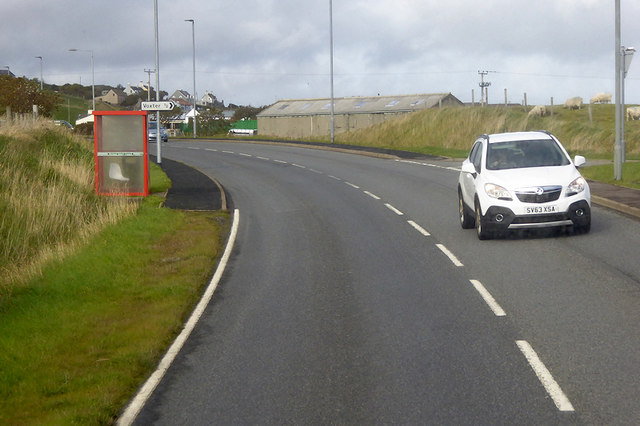
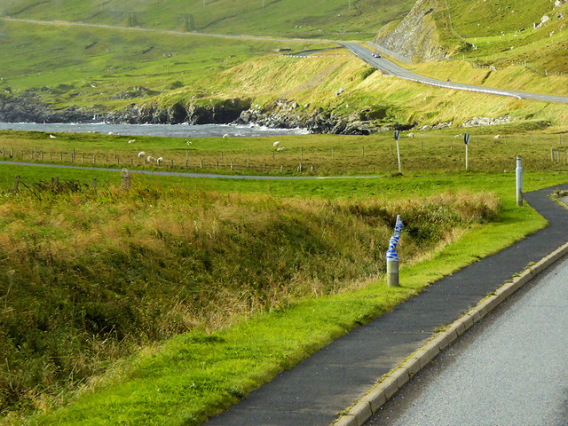
Ayre of Quier is relatively remote, offering visitors a sense of solitude and escape from the hustle and bustle of city life. However, amenities such as parking, toilets, and picnic areas are available for the convenience of beachgoers. The surrounding area offers opportunities for hiking and exploring the rugged Shetland landscape, making it an ideal destination for outdoor enthusiasts. Overall, Ayre of Quier is a hidden gem, a beautiful beach that showcases the natural wonders of Shetland.

If you have any feedback on the listing, please let us know in the comments section below.

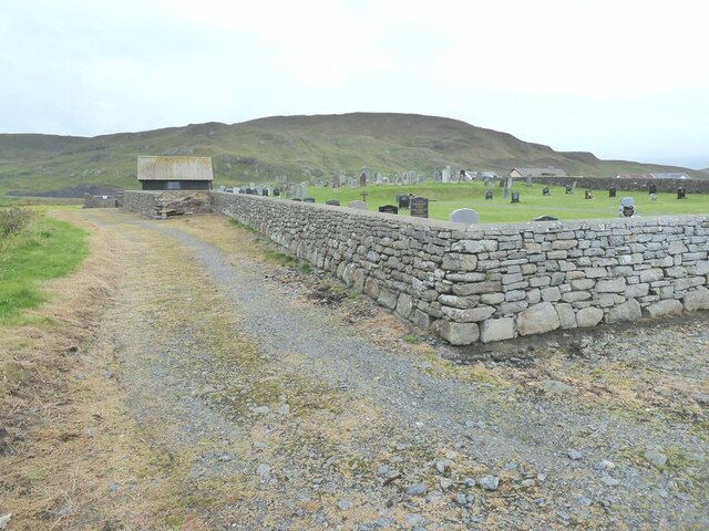
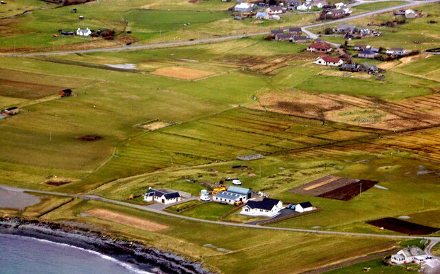
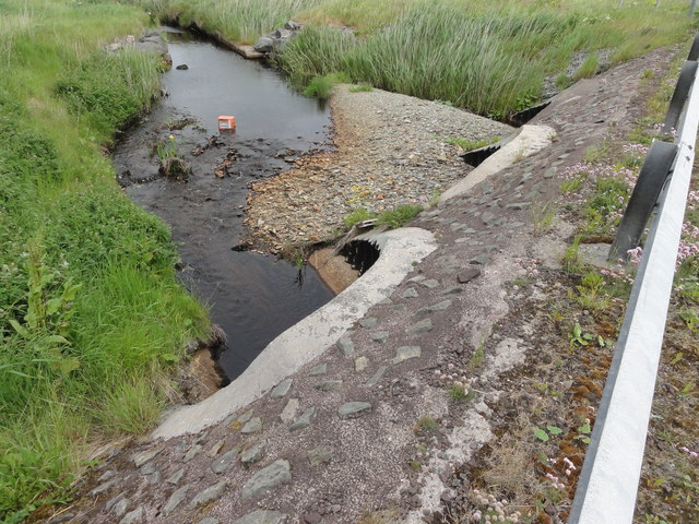
Ayre of Quier Images

Images are sourced within 2km of 60.042235/-1.2149545 or Grid Reference HU4328. Thanks to Geograph Open Source API. All images are credited.

Mail Burial Ground Adjacent to the sea as is usual on Scottish islands.
Mail Burial Ground
Adjacent to the sea as is usual on Scottish islands.
Helli Ness to Bard Head We are at the parking place above Crossie Geo halfway between Lerwick and Sumburgh Head on the mainland of Shetland and I am looking north east across Greenmow and Helli Ness to Bard Head, Bressay. The Isle of Noss can be seen beyond Bressay.
Helli Ness to Bard Head
We are at the parking place above Crossie Geo halfway between Lerwick and Sumburgh Head on the mainland of Shetland and I am looking north east across Greenmow and Helli Ness to Bard Head, Bressay. The Isle of Noss can be seen beyond Bressay.
Aith, Cunningsburgh, from the air
Greenmow and Helli Ness, Cunningsburgh, from the air
South Voxter, Cunningsburgh, from the air
Mail, Cunningsburgh, from the air
Aithsetter, Cunningsburgh, from the air
Shoreline with joining stream Small sandy pebble beach with joining stream to the sea
Shoreline with joining stream
Small sandy pebble beach with joining stream to the sea
Road bridge Road bridge buttress as it passes over the stream. It should have been the location of an Ordnance Survey OSBM Bolt, which seems to have been destroyed in the rebuilding of the road.
Road bridge
Road bridge buttress as it passes over the stream. It should have been the location of an Ordnance Survey OSBM Bolt, which seems to have been destroyed in the rebuilding of the road.
House under renovation, Cunningsburgh
Vadsgarth, Cunningsburgh
Small beach at the Sands of Mail The road is the A970 approaching Cunningsburgh.
Small beach at the Sands of Mail
The road is the A970 approaching Cunningsburgh.
A970 at Cunningsburgh Cunningsburgh, formerly also known as Coningsburgh (from the Old Norse: Konungsborgr meaning "King's castle"), is a hamlet on the coast of Mainland Shetland, nine miles south-west of Lerwick, about halfway between there and Sumburgh Head.
A970 at Cunningsburgh
Cunningsburgh, formerly also known as Coningsburgh (from the Old Norse: Konungsborgr meaning "King's castle"), is a hamlet on the coast of Mainland Shetland, nine miles south-west of Lerwick, about halfway between there and Sumburgh Head.
Bus Stop at Cunningsburgh Bus stop outside Cunningsburgh Primary School.
Bus Stop at Cunningsburgh
Bus stop outside Cunningsburgh Primary School.
Bus Stop on the A970 at Cunningsburgh Cunningsburgh, formerly also known as Coningsburgh (from the Old Norse: Konungsborgr meaning "King's castle"), is a hamlet on the coast of Mainland Shetland, nine miles south-west of Lerwick, about halfway between there and Sumburgh Head.
Bus Stop on the A970 at Cunningsburgh
Cunningsburgh, formerly also known as Coningsburgh (from the Old Norse: Konungsborgr meaning "King's castle"), is a hamlet on the coast of Mainland Shetland, nine miles south-west of Lerwick, about halfway between there and Sumburgh Head.
Bus Stop at Cunningsburgh Cunningsburgh, formerly also known as Coningsburgh (from the Old Norse: Konungsborgr meaning "King's castle"), is a hamlet on the coast of Mainland Shetland, nine miles south-west of Lerwick, about halfway between there and Sumburgh Head.
Bus Stop at Cunningsburgh
Cunningsburgh, formerly also known as Coningsburgh (from the Old Norse: Konungsborgr meaning "King's castle"), is a hamlet on the coast of Mainland Shetland, nine miles south-west of Lerwick, about halfway between there and Sumburgh Head.
Coastal Sheep Farm near Mail
Cunningsburgh, A970 Cunningsburgh, formerly also known as Coningsburgh (from the Old Norse: Konungsborgr meaning "King's castle"), is a hamlet on the coast of Mainland Shetland, nine miles south-west of Lerwick, about halfway between there and Sumburgh Head.
Cunningsburgh, A970
Cunningsburgh, formerly also known as Coningsburgh (from the Old Norse: Konungsborgr meaning "King's castle"), is a hamlet on the coast of Mainland Shetland, nine miles south-west of Lerwick, about halfway between there and Sumburgh Head.
Show me another place!

Ayre of Quier is located at Grid Ref: HU4328 (Lat: 60.042235, Lng: -1.2149545)

Unitary Authority: Shetland Islands

Police Authority: Highlands and Islands

What 3 Words

///odds.handy.recitals. Near Sandwick, Shetland Islands

Related Wikis

Bremirehoull

Bremirehoull is a settlement on the island of Mainland, in Shetland, Scotland. Bremirehoull is situated on the A970 in the Cunningsburgh area. == References... ==

Mail, Shetland

Mail is a hamlet on the island of Mainland, in the Shetland Islands, Scotland. == Geography == Mail is located on the south-eastern side of the island...

Cunningsburgh

Cunningsburgh, formerly also known as Coningsburgh (Old Norse: Konungsborgr meaning "King's castle"), is a new hamlet and ancient parish in the south of...

Aithsetter

Aithsetter (Old Norse: Eiðseti, meaning "the farm at the isthmus") is a village on the island of Mainland, in Shetland, Scotland. Aithsetter is in the...

Catpund

Catpund is a quarry site in Shetland, Scotland, where steatite vessels were cut from the rock from prehistory onwards. The quarrying marks are still visible...

South Mainland

The South Mainland of the Shetland Islands is the southern peninsula of Mainland island. It lies south of Hellister (60° 14′N). The greater southern part...

Sandwick, Dunrossness

see also Sandwick, Whalsay and Sandwick, OrkneySandwick (Old Norse: Sandvik "Sandy Bay") is a village and an ancient parish in the Shetland Islands, Scotland...

Mousa

Mousa (Old Norse: Mosey "moss island") is a small island in Shetland, Scotland, uninhabited since the nineteenth century. The island is known for the...

Nearby Amenities

Located within 500m of 60.042235,-1.2149545
Leisure: slipway
Lat/Long: 60.0381403/-1.2157129
Leisure: slipway
Lat/Long: 60.0415043/-1.2096377
Skibhoull
Place: hamlet
Lat/Long: 60.0387542/-1.2174444
Power: pole
Lat/Long: 60.03815/-1.2175126
Power: pole
Lat/Long: 60.0384442/-1.2182126
Power: pole
Lat/Long: 60.0388422/-1.2191296
Power: pole
Lat/Long: 60.0392079/-1.2200213
Power: pole
Lat/Long: 60.039284/-1.2202823
Power: pole
Lat/Long: 60.0393048/-1.2215297
Power: pole
Lat/Long: 60.0402115/-1.2201576
Power: pole
Lat/Long: 60.039885/-1.2201067
Power: pole
Lat/Long: 60.046228/-1.2154325
Power: pole
Lat/Long: 60.0454979/-1.2153031
Power: pole
Lat/Long: 60.0448751/-1.2151969
Power: pole
Lat/Long: 60.0442211/-1.2150953
Power: pole
Lat/Long: 60.0438566/-1.2203181
Power: pole
Lat/Long: 60.0439143/-1.2194265
Power: pole
Lat/Long: 60.0439604/-1.218581
Power: pole
Lat/Long: 60.0440066/-1.2176801
Power: pole
Lat/Long: 60.0440769/-1.2166083
Power: pole
Lat/Long: 60.0441242/-1.2157328
Power: pole
Lat/Long: 60.0441727/-1.214959
Power: pole
Lat/Long: 60.0442315/-1.2140581
Power: pole
Lat/Long: 60.0409636/-1.2068879
Power: pole
Lat/Long: 60.0410674/-1.2080429
The data included in this document is from www.openstreetmap.org. The data is made available under ODbL.

Have you been to Ayre of Quier?

Leave your review of Ayre of Quier below (or comments, questions and feedback).