Northern Field Beach
Beach in Devon North Devon
England
Northern Field Beach
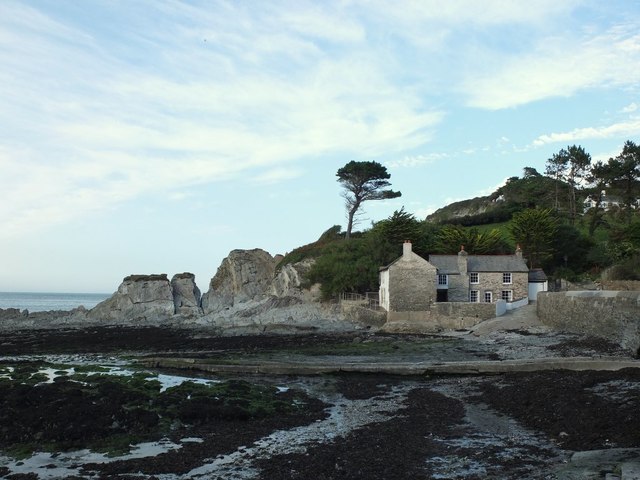
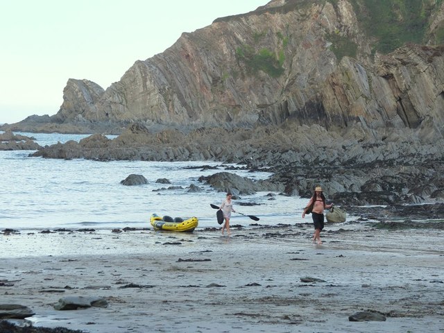
Northern Field Beach is a picturesque coastal gem located in Devon, England. Situated on the northern coast of the county, the beach offers visitors a serene and idyllic escape from the hustle and bustle of everyday life. With its stunning views of the Atlantic Ocean, it is a popular destination for locals and tourists alike.
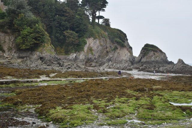
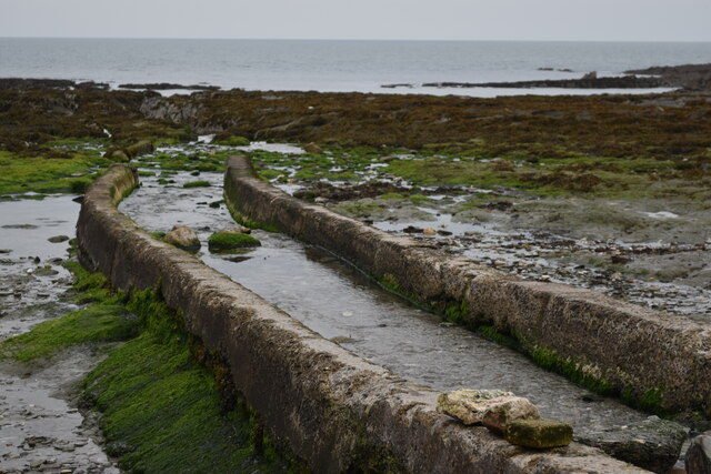
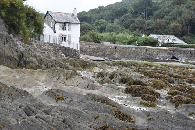
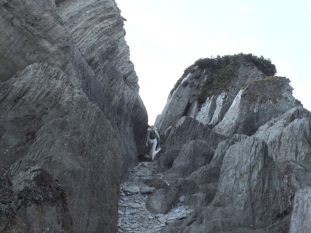
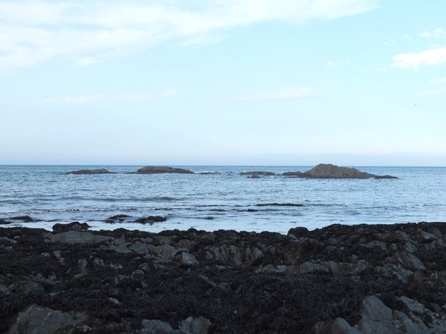
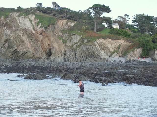
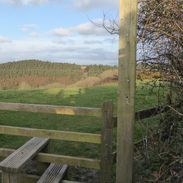
The beach is characterized by its soft golden sand and crystal-clear waters, making it an ideal spot for sunbathing and swimming during the summer months. The surrounding cliffs and rocky outcrops add to the beach's natural beauty and provide a sheltered and secluded atmosphere.
Northern Field Beach is known for its excellent water quality, earning the prestigious Blue Flag status, which guarantees cleanliness and safety for swimmers. Lifeguards are also stationed on the beach during peak seasons, ensuring the well-being of beachgoers.
Nature enthusiasts will be delighted by the abundance of wildlife in the area. The beach is a haven for birdwatching, with various species of seabirds nesting on the cliffs and dunes. Dolphins and seals can often be spotted frolicking in the waters, adding to the beach's charm.
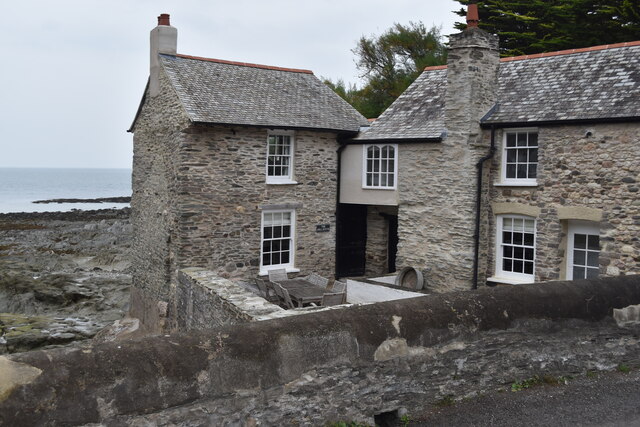
Facilities at Northern Field Beach are limited but sufficient. There is a small car park nearby, and a quaint café provides refreshments for hungry beach visitors. The beach is also dog-friendly throughout the year, allowing furry friends to enjoy the scenic surroundings alongside their owners.
Overall, Northern Field Beach is a hidden gem on Devon's northern coast, offering a tranquil and natural escape for beach lovers, wildlife enthusiasts, and those seeking a peaceful retreat in a stunning coastal setting.
If you have any feedback on the listing, please let us know in the comments section below.
Northern Field Beach Images
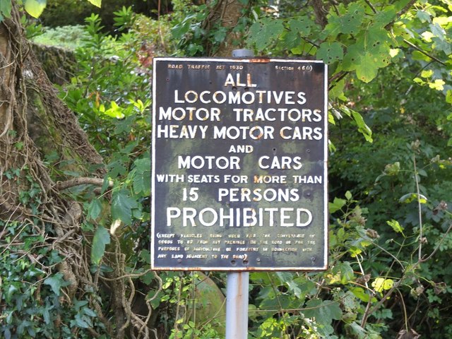
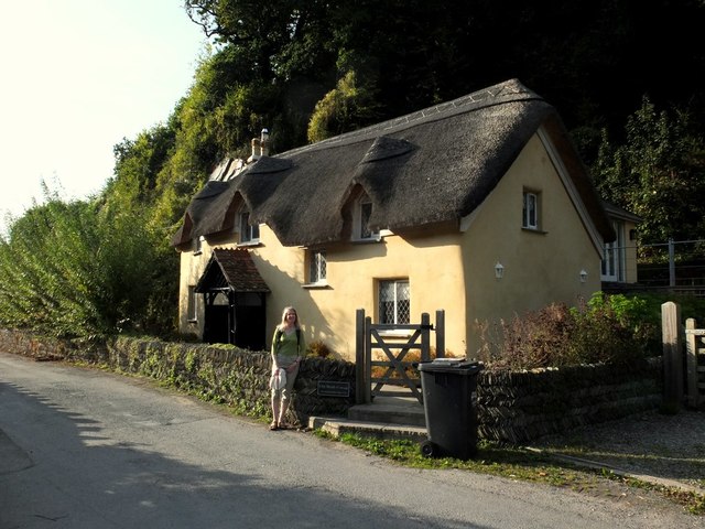
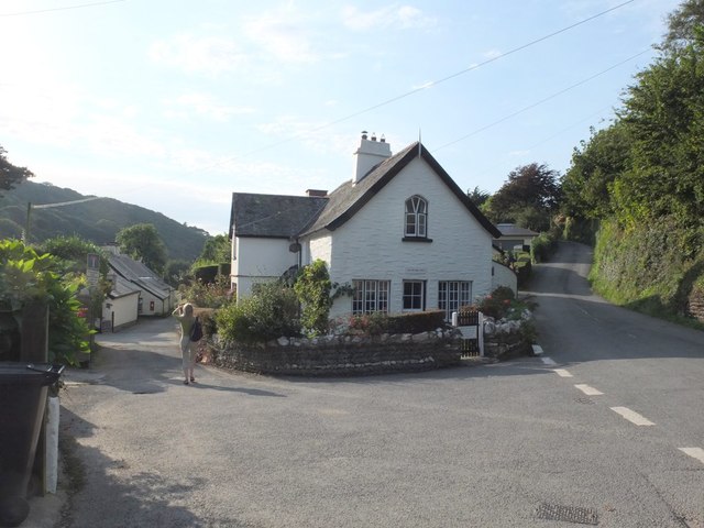
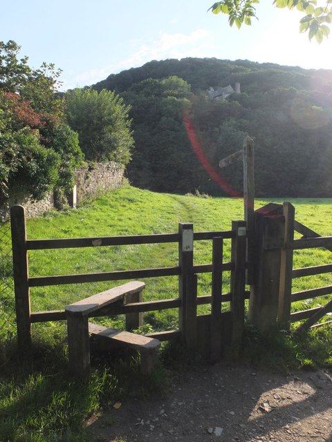
Images are sourced within 2km of 51.201769/-4.1676546 or Grid Reference SS4846. Thanks to Geograph Open Source API. All images are credited.

Northern Field Beach is located at Grid Ref: SS4846 (Lat: 51.201769, Lng: -4.1676546)
Administrative County: Devon
District: North Devon
Police Authority: Devon and Cornwall
What 3 Words
///deals.bracing.wrenching. Near Ilfracombe, Devon
Nearby Locations
Related Wikis
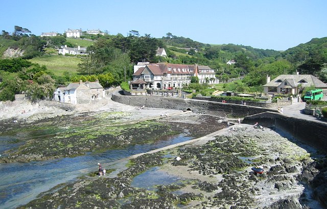
Lee Bay
Lee Bay or just Lee is a small village on the North Devon coast near Woolacombe. Lee is situated on the rugged and inhospitable stretch of coast between...

The Torrs
The Torrs are a Local Nature Reserve and one of the four main hills in the North Devon coastal town of Ilfracombe. The Park originally was designed in...

Slade Reservoirs
The Slade Reservoirs are twin reservoirs in the North Devon town of Ilfracombe, England. They are owned by South West Water, and leased to South West Lakes...

Bull Point Lighthouse
Bull Point Lighthouse is a lighthouse on Bull Point, about one mile (1.6 km) north of the village of Mortehoe, on the northern coast of Devon, England...
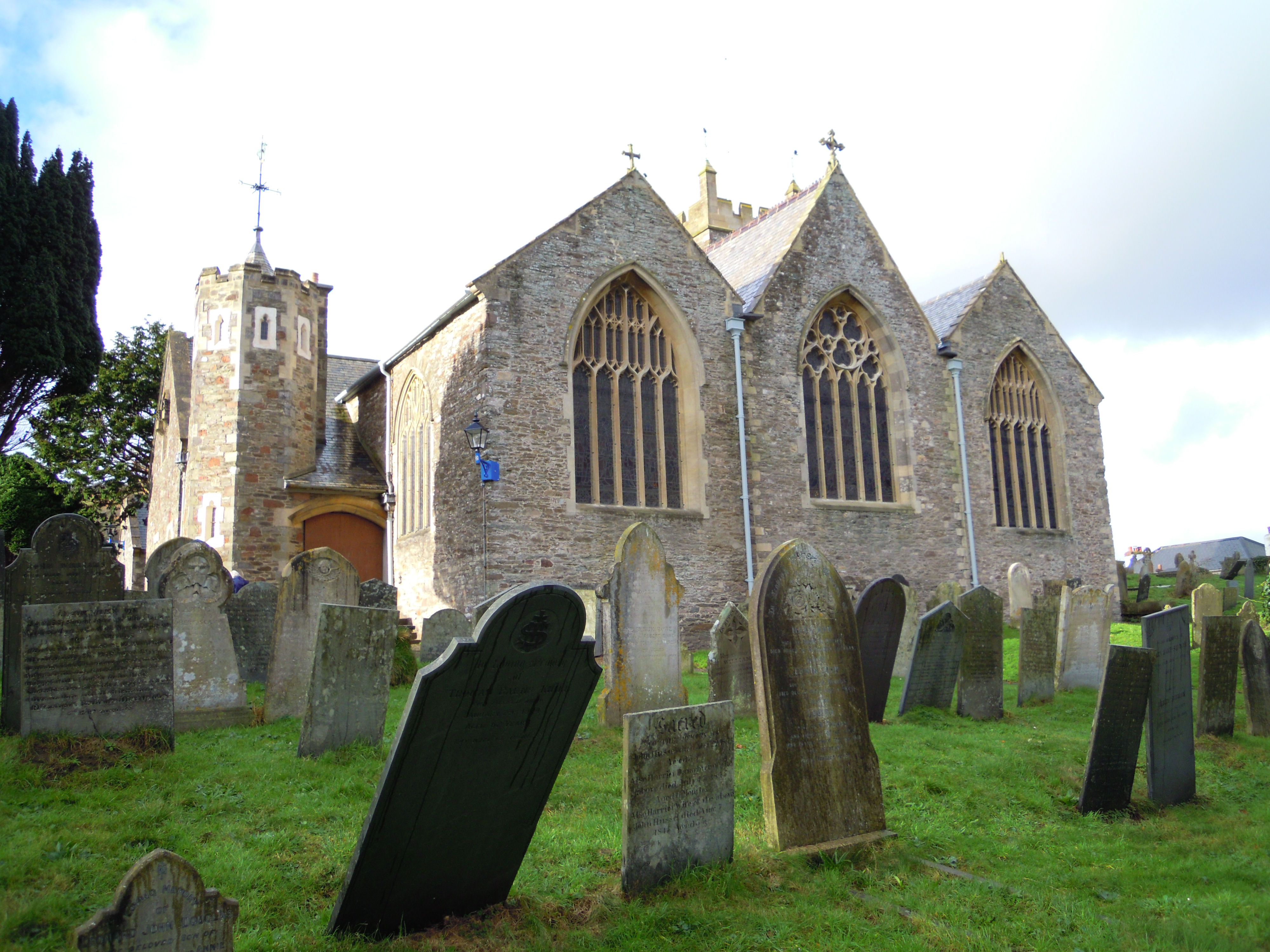
Holy Trinity Church, Ilfracombe
The Church of the Holy Trinity is the Anglican parish church for Ilfracombe in Devon. The building has been a Grade I listed building since 1951 and comes...

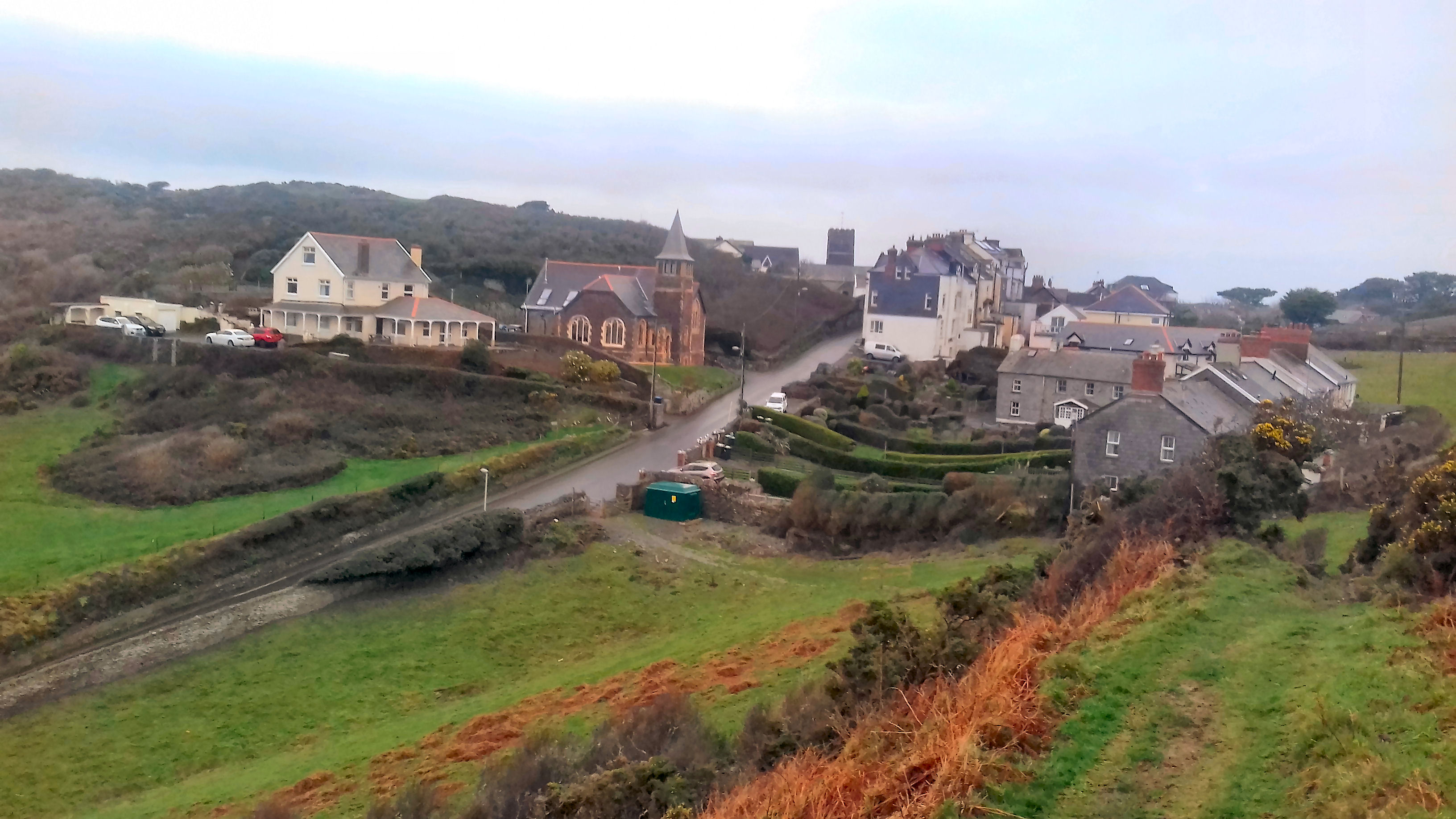
Ilfracombe railway station (England)
Ilfracombe railway station was the terminus of the Ilfracombe branch line in north Devon, England. The line was opened as the Barnstaple and Ilfracombe...
Mortehoe
Mortehoe () is a village and former manor on the north coast of Devon, England. It lies 10 miles north-west of Barnstaple, near Woolacombe and Lee Bay...

Mortehoe and Woolacombe railway station
Mortehoe and Woolacombe railway station was a station on the London and South Western Railway Ilfracombe Branch Line between Barnstaple and Ilfracombe...
Nearby Amenities
Located within 500m of 51.201769,-4.1676546Have you been to Northern Field Beach?
Leave your review of Northern Field Beach below (or comments, questions and feedback).