Traeth Dulas

Beach in Anglesey

Wales

Traeth Dulas

Traeth Lligwy
Traeth Lligwy Credit: Chris Andrews

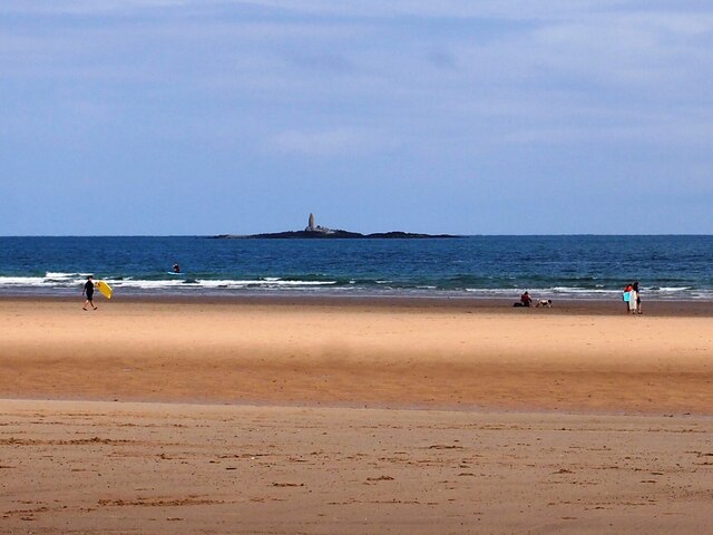
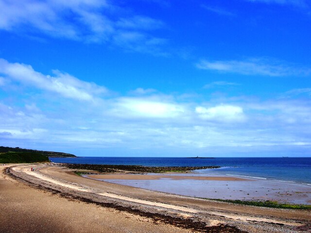
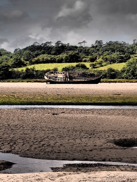
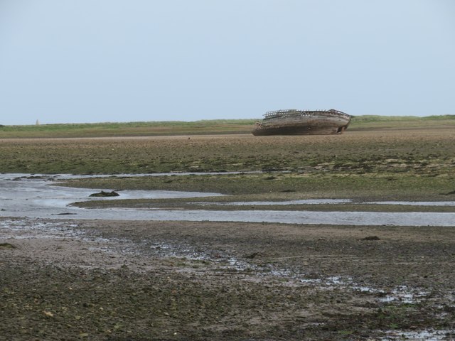
Traeth Dulas, located on the eastern coast of Anglesey, is a picturesque beach nestled between the villages of Llaneilian and Moelfre in North Wales. With its stunning scenery and tranquil atmosphere, Traeth Dulas attracts both locals and tourists alike.

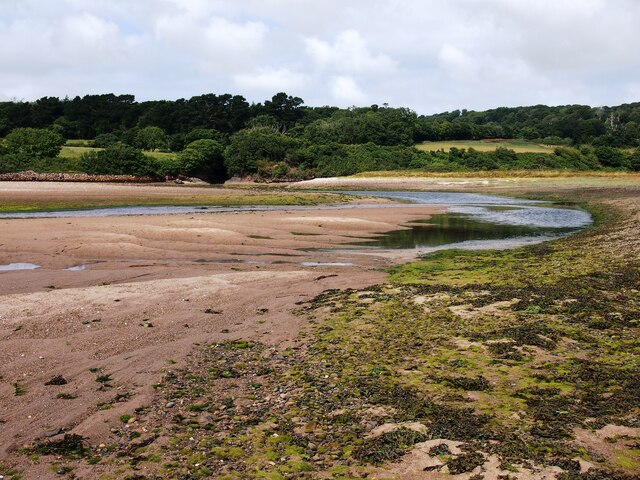
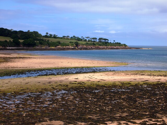
The beach is characterized by its golden sandy shores, which stretch for approximately one mile along the coastline. The waters of Traeth Dulas are crystal clear and often calm, making it an ideal spot for swimming, kayaking, and paddleboarding. The beach also offers ample space for sunbathing and picnicking, as well as a perfect opportunity for long walks along the shore.

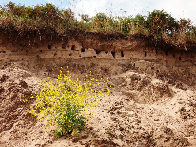
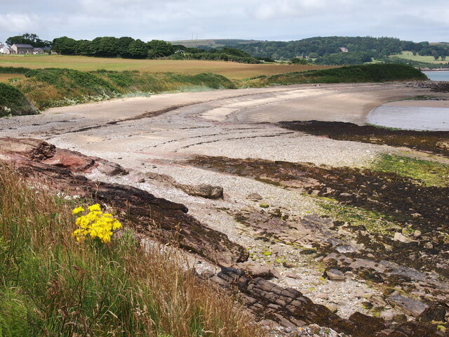
The area surrounding Traeth Dulas is known for its natural beauty and diverse wildlife. There are several rocky outcrops and small caves to explore, providing a fascinating glimpse into the local marine ecosystem. The beach is also a popular spot for birdwatching, with various species of seabirds and waders frequently seen in the area.

Facilities at Traeth Dulas are limited, providing visitors with a chance to truly connect with nature. However, there is a small car park nearby, offering convenient access to the beach. It's important to note that there are no lifeguards on duty, so caution should be exercised when swimming or engaging in water activities.

Overall, Traeth Dulas offers a tranquil and unspoiled coastal experience, perfect for those seeking a peaceful retreat surrounded by natural beauty.

If you have any feedback on the listing, please let us know in the comments section below.
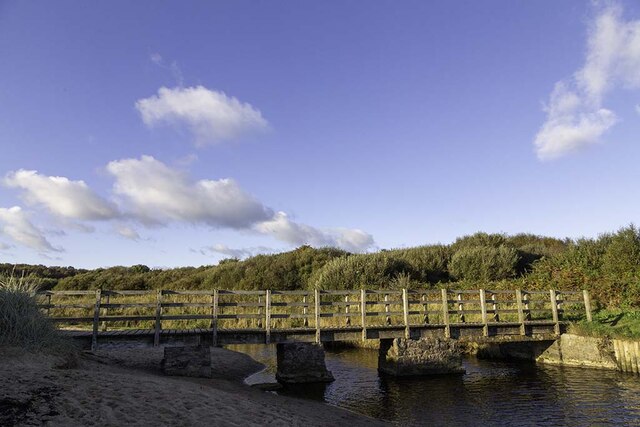
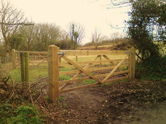
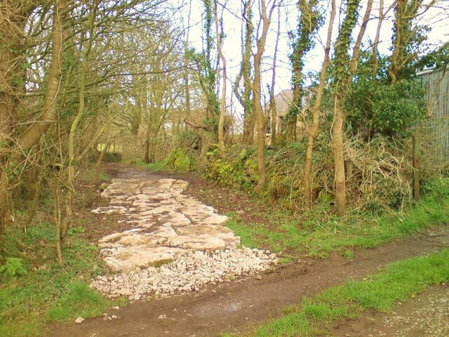
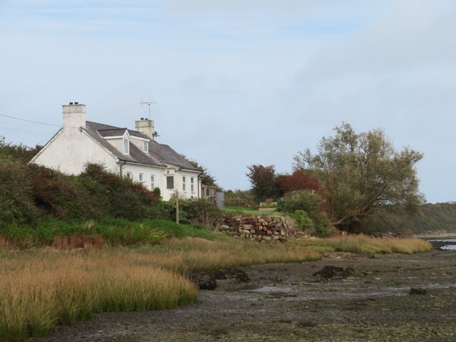
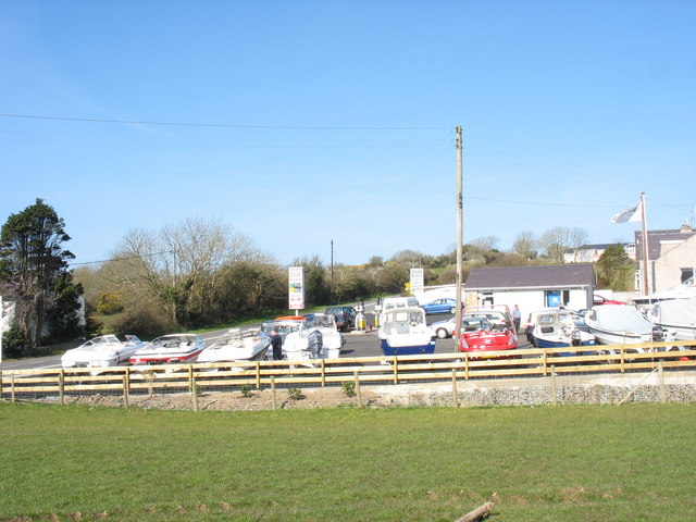
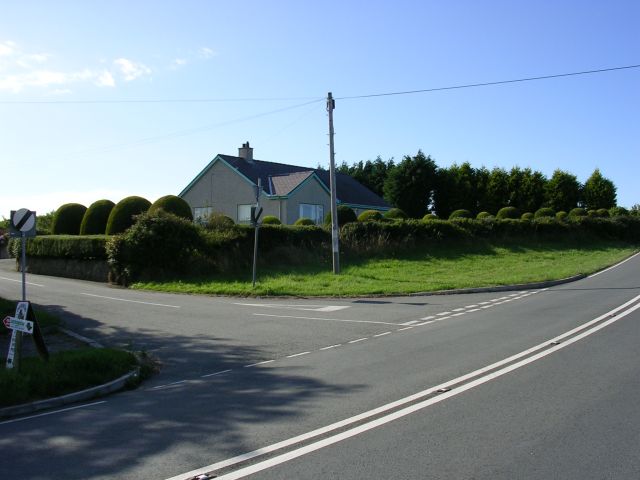
Traeth Dulas Images

Images are sourced within 2km of 53.370429/-4.2837968 or Grid Reference SH4888. Thanks to Geograph Open Source API. All images are credited.

Traeth Lligwy
Traeth Lligwy
Sand Martin Burrows, Traeth Lligwy
Porth y Mor
Porth y Mor
The View From Trwyn Porth-y-Mor
Wreck, Traeth Dulas
Wreck, Traeth Dulas
Traeth Dulas
Traeth Dulas
Porto Bello
Porto Bello
Wartime remains Understood to be one of the quadrant shelters for the WWII bombing range at Lligwy Bay.
Wartime remains
Understood to be one of the quadrant shelters for the WWII bombing range at Lligwy Bay.
Bridge over Afon Lligwy The Afon Lligwy on its journey to the sea at Traeth Lligwy
Bridge over Afon Lligwy
The Afon Lligwy on its journey to the sea at Traeth Lligwy
Minor road signpost Signpost on a t-junction on the road from the A5025 to Dulas and Lligwy Bay.
Minor road signpost
Signpost on a t-junction on the road from the A5025 to Dulas and Lligwy Bay.
Close grazed field near Dulas Bay Close grazed field near Dulas Bay looking out over Irish Sea
Close grazed field near Dulas Bay
Close grazed field near Dulas Bay looking out over Irish Sea
Double gate Double gate to a sheep field from the road to Traeth Dulas
Double gate
Double gate to a sheep field from the road to Traeth Dulas
Sheep field Sheep field near Dulas Bay from gate
Sheep field
Sheep field near Dulas Bay from gate
Path to beach Uneven and narrow path from farm track to Traeth Yr Ora
Path to beach
Uneven and narrow path from farm track to Traeth Yr Ora
Traeth Lligwy A view north along the deserted beach at Lligwy Bay.
Traeth Lligwy
A view north along the deserted beach at Lligwy Bay.
Towards an old wreck on Traeth Dulas Looking across this estuary with its combination of sand and mud. A popular feeding ground for waders such as curlew and oystercatcher.
Towards an old wreck on Traeth Dulas
Looking across this estuary with its combination of sand and mud. A popular feeding ground for waders such as curlew and oystercatcher.
Where the coast path turns left The Anglesey coast path turns away from the shore at this point after a sticky half mile along the shoreline.
Where the coast path turns left
The Anglesey coast path turns away from the shore at this point after a sticky half mile along the shoreline.
Anglesey coast path at Traeth Dulas A tricky route for half a mile here. One has the option of a very squelchy path through the vegetation on the left, or what appears to be an easier alternative along the shore, but don't expect firm sand or shingle as there's often an overlying layer of soft and slippery mud to mess up the trainers.
Anglesey coast path at Traeth Dulas
A tricky route for half a mile here. One has the option of a very squelchy path through the vegetation on the left, or what appears to be an easier alternative along the shore, but don't expect firm sand or shingle as there's often an overlying layer of soft and slippery mud to mess up the trainers.
Show me another place!

Traeth Dulas is located at Grid Ref: SH4888 (Lat: 53.370429, Lng: -4.2837968)

Unitary Authority: Isle of Anglesey

Police Authority: North Wales

What 3 Words

///questions.leaps.batches. Near Moelfre, Isle of Anglesey

Related Wikis

Dulas Bay

Dulas Bay (Welsh: Bae Dulas) is a small bay on the north east coast of Anglesey (Ynys Môn), north Wales, forming the boundary between Llaneilian and Moelfre...

St Gwenllwyfo's Church

St Gwenllwyfo's Church is a 19th-century parish church near the village of Dulas, in Anglesey, Wales. It was built between 1854 and 1856 to replace an...

Dulas, Anglesey

Dulas () or City Dulas is a village in Anglesey, in north-west Wales. It is situated on the A5025 road, near the coast (Dulas Bay) at only 5 metres (16...

Llaneuddog

Llaneuddog is a hamlet in the community of Llaneilian, Anglesey, Wales. It lies along the A5025 road, between Brynrefail and Penysarn, near Dulas. It belonged...

Nearby Amenities

Located within 500m of 53.370429,-4.2837968
Source: PGS
Lat/Long: 53.3704552/-4.2773268
Source: PGS
Lat/Long: 53.3705952/-4.2875081
Source: PGS
Lat/Long: 53.3728291/-4.285979
Source: PGS
Lat/Long: 53.3732888/-4.2854139
Traeth Dulas
Natural: bay
Lat/Long: 53.3707338/-4.283513
The data included in this document is from www.openstreetmap.org. The data is made available under ODbL.

Have you been to Traeth Dulas?

Leave your review of Traeth Dulas below (or comments, questions and feedback).