Bathway
Settlement in Somerset Mendip
England
Bathway
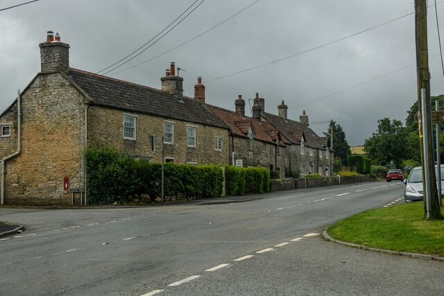
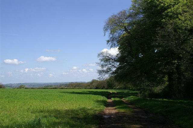
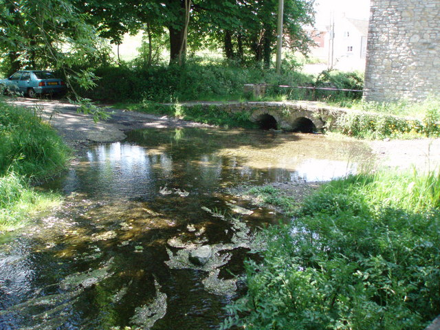
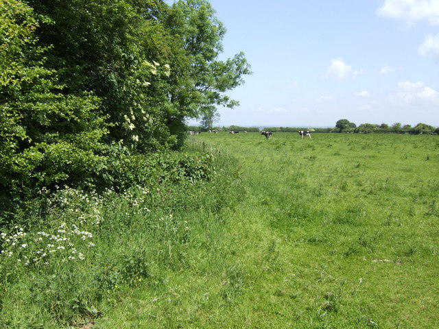
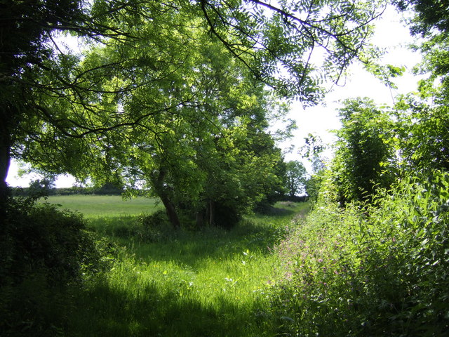
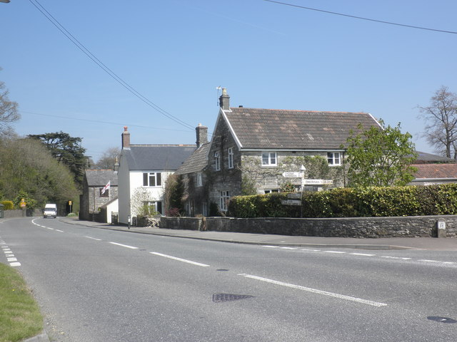
Bathway is a small village located in the county of Somerset, England. Situated approximately 5 miles east of the city of Bath, it lies within the Bath and North East Somerset unitary authority. The village is nestled in a picturesque countryside setting, surrounded by rolling hills and green fields.
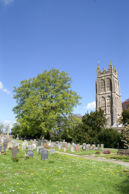
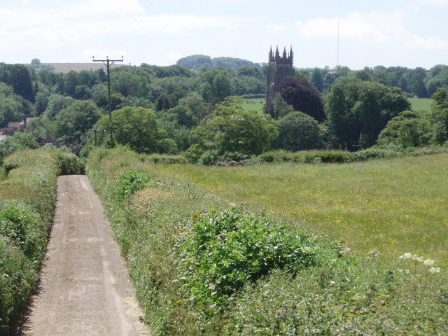
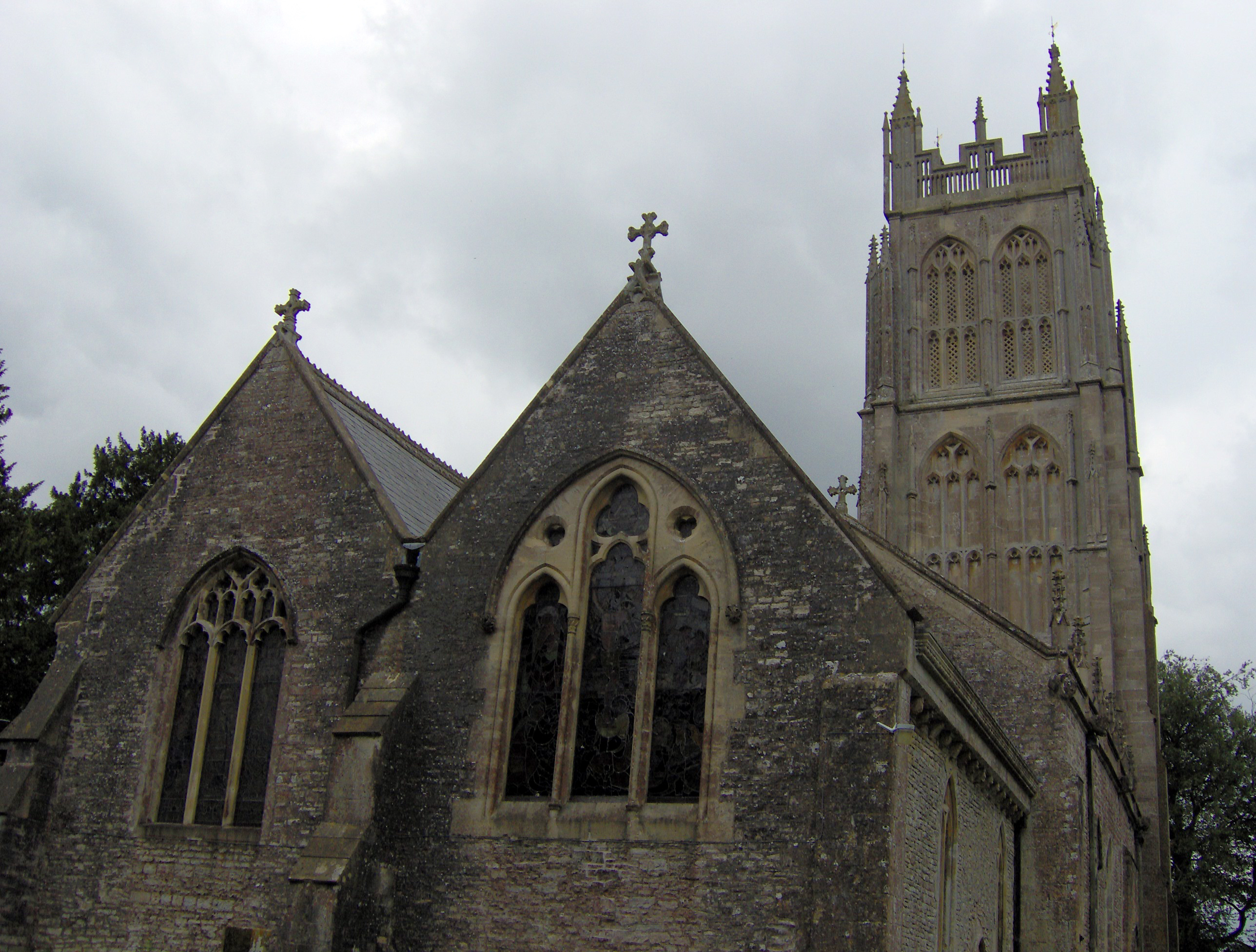
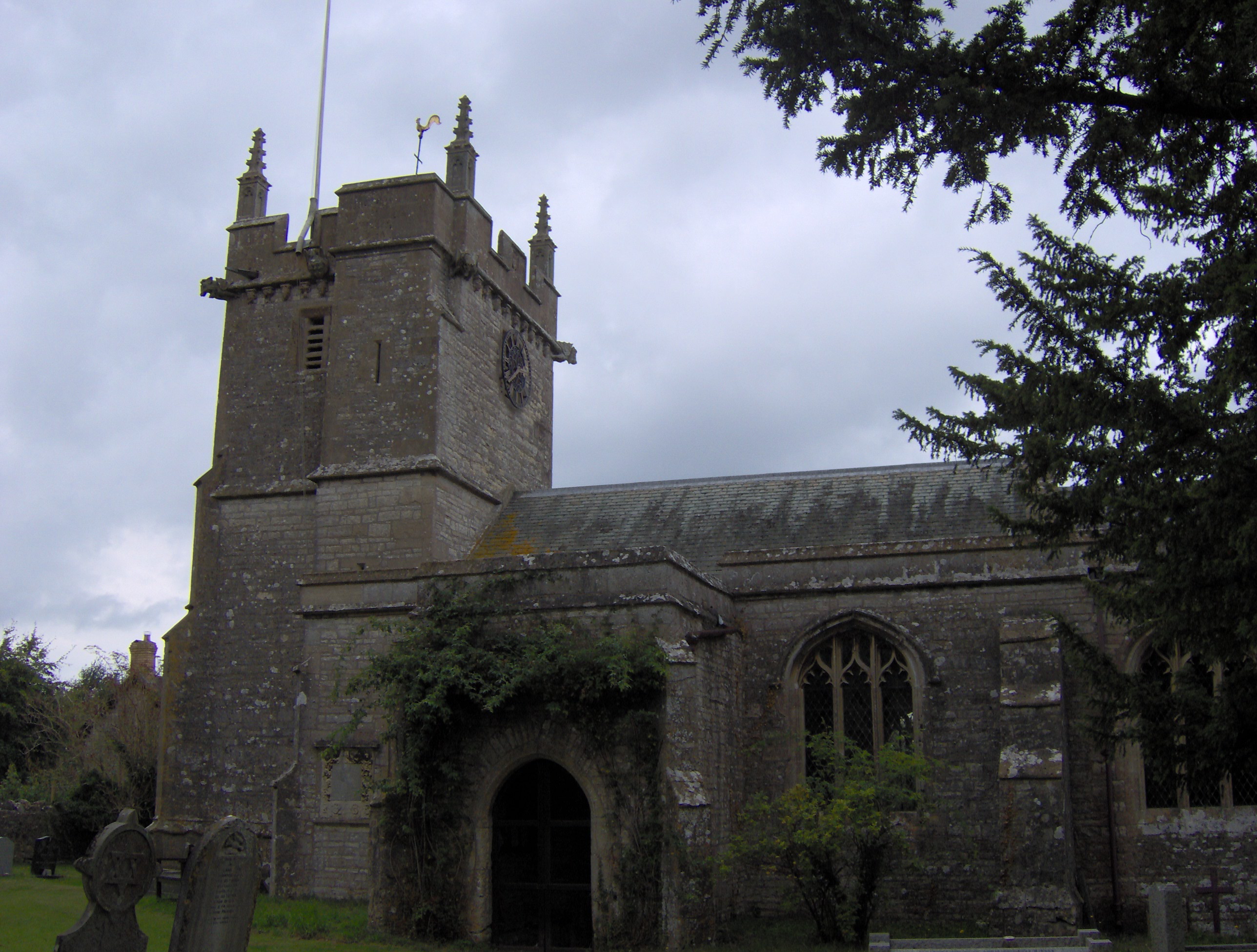
Bathway boasts a rich history, with evidence of settlements dating back to the Roman period. The area is home to several historical landmarks, including the Grade II listed St. Mary's Church, which dates back to the 12th century. The church's architecture and stained glass windows are particularly noteworthy.
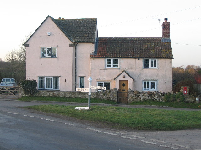
Despite its small size, Bathway offers a range of amenities to its residents. These include a village hall, a local pub, and a primary school. The village hall serves as a hub for community events and activities, while the pub provides a popular gathering spot for locals and visitors alike.
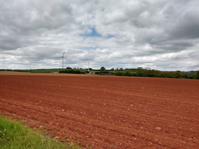
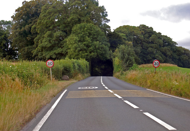
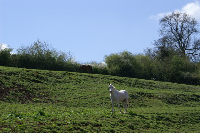
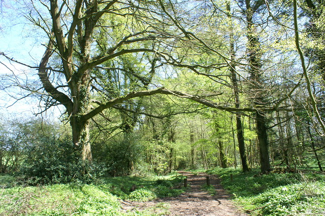
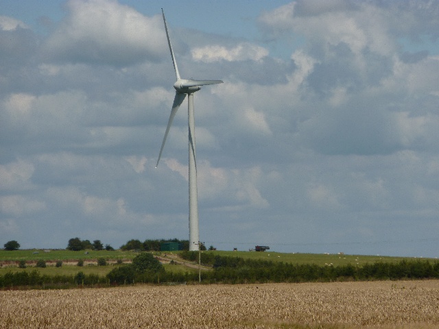
The village is also surrounded by beautiful countryside, making it an ideal destination for outdoor enthusiasts. The nearby countryside offers numerous walking and cycling trails, allowing residents to explore the stunning natural surroundings.
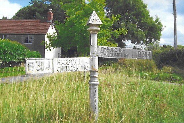
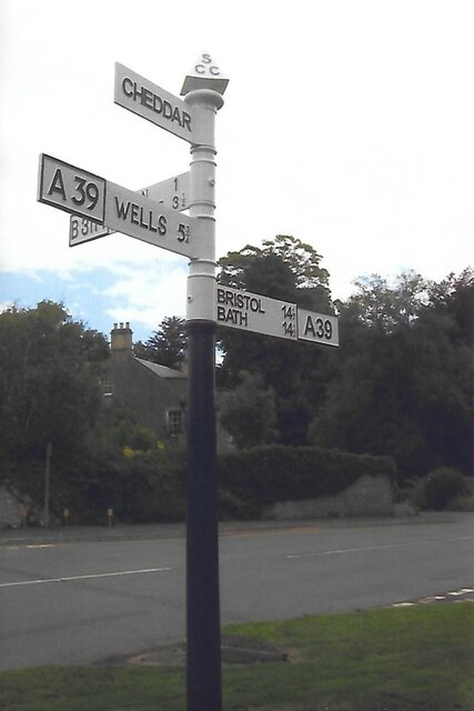
Transport links to Bathway are convenient, with regular bus services connecting the village to Bath and other nearby towns. The village is also well-connected by road, with the A46 providing easy access to the wider region.
Overall, Bathway offers a peaceful and idyllic rural lifestyle, with its rich history, charming amenities, and stunning natural landscapes contributing to its appeal.
If you have any feedback on the listing, please let us know in the comments section below.
Bathway Images
Images are sourced within 2km of 51.270048/-2.584386 or Grid Reference ST5952. Thanks to Geograph Open Source API. All images are credited.
Bathway is located at Grid Ref: ST5952 (Lat: 51.270048, Lng: -2.584386)
Administrative County: Somerset
District: Mendip
Police Authority: Avon and Somerset
What 3 Words
///clocking.pythons.deadline. Near East Harptree, Somerset
Nearby Locations
Related Wikis
Chewton Mendip
Chewton Mendip is a village and civil parish in Somerset, England. It is situated 4 miles (6 km) north of Wells, 16 miles (26 km) south of Bath and Bristol...
Litton, Somerset
Litton (grid reference ST593546) is a small village and civil parish between Chewton Mendip and West Harptree in the Mendip Hills, Somerset, England. The...

Emborough
Emborough is a village and civil parish 5 miles (8.0 km) north of Shepton Mallet, and 5 miles (8.0 km) north east of Wells, in the Mendip district of Somerset...
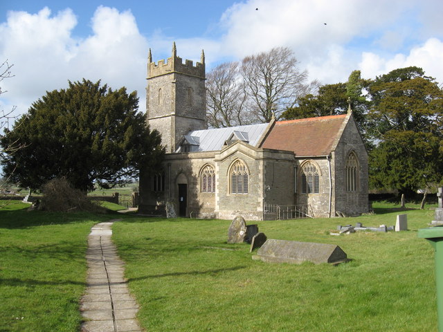
Church of the Blessed Virgin Mary, Emborough
The Church of the Blessed Virgin Mary in Emborough, Somerset, England is medieval in origin but underwent extensive renovation in the 18th century. It...
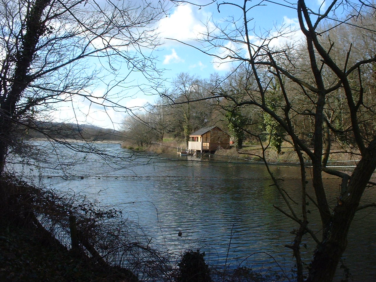
Litton Reservoirs
Litton Reservoirs (also known as Coley Reservoirs) (grid reference ST590553) are two reservoirs near the village of Litton, Somerset, England. They are...
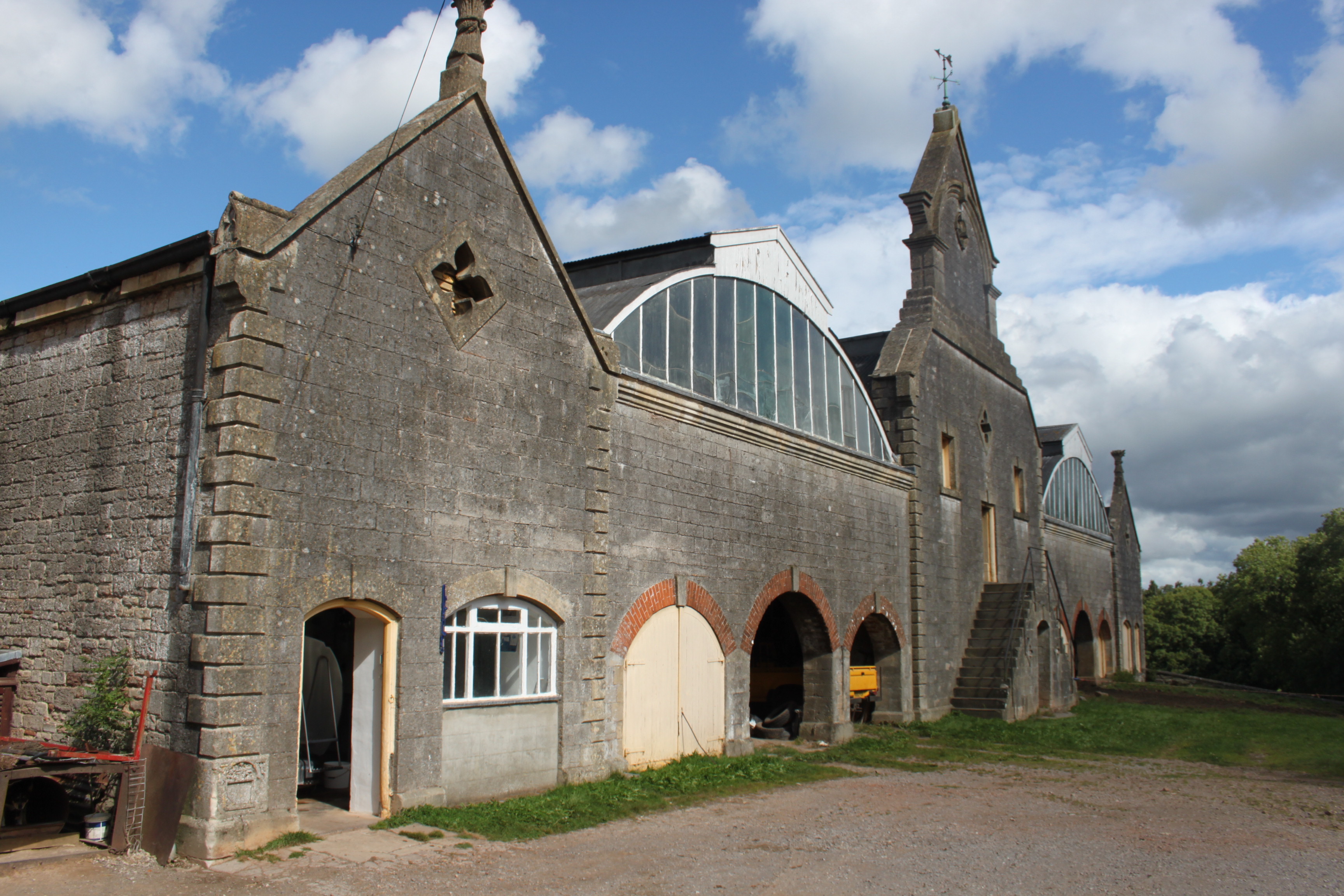
Eastwood Manor Farm Steading
Eastwood Manor Farm Steading in East Harptree, Somerset, England is a Grade I listed building.The farm including the site for the construction of Eastwood...
Ston Easton
Ston Easton is a linear village and civil parish in the English county of Somerset. It is 14 miles (23 km) southwest of Bath and 7 miles (11 km) north...
Church of St Mary the Virgin, Ston Easton
The Anglican Church of St Mary the Virgin in Ston Easton, Somerset, England, is a Grade II* listed building dating from the 11th century, with a 15th-century...
Nearby Amenities
Located within 500m of 51.270048,-2.584386Have you been to Bathway?
Leave your review of Bathway below (or comments, questions and feedback).