Bathville
Settlement in West Lothian
Scotland
Bathville

Bathville is a small village located in the county of West Lothian, Scotland. Situated approximately 2 miles south of the town of Armadale, it is nestled within a rural landscape with picturesque views of the surrounding countryside.
The village of Bathville has a rich history, dating back to the mid-19th century when it was primarily known for its shale mining industry. During this time, the village experienced a significant population boom as workers flocked to the area in search of employment opportunities in the mines.
Today, Bathville retains its quaint charm and rural character, with a small but tight-knit community. The village is primarily residential, with a mix of traditional stone-built cottages and more modern housing developments. Its peaceful atmosphere and scenic surroundings make it an ideal place for those seeking a quieter way of life.
Although Bathville is predominantly residential, it benefits from its proximity to nearby towns and cities. Armadale, with its range of amenities including shops, schools, and leisure facilities, is just a short distance away. The village is also well-connected by road and public transport links, making it convenient for commuters working in nearby towns or cities.
For those who enjoy outdoor pursuits, Bathville offers plenty of opportunities for walking, cycling, and exploring the surrounding countryside. The nearby Bathgate Hills provide stunning panoramic views, while the nearby Union Canal offers a scenic route for boating enthusiasts.
In summary, Bathville is a charming village in West Lothian with a rich history, beautiful surroundings, and a strong sense of community.
If you have any feedback on the listing, please let us know in the comments section below.
Bathville Images
Images are sourced within 2km of 55.89331/-3.692875 or Grid Reference NS9467. Thanks to Geograph Open Source API. All images are credited.


Bathville is located at Grid Ref: NS9467 (Lat: 55.89331, Lng: -3.692875)
Unitary Authority: West Lothian
Police Authority: The Lothians and Scottish Borders
What 3 Words
///helping.bulge.sour. Near Armadale, West Lothian
Related Wikis
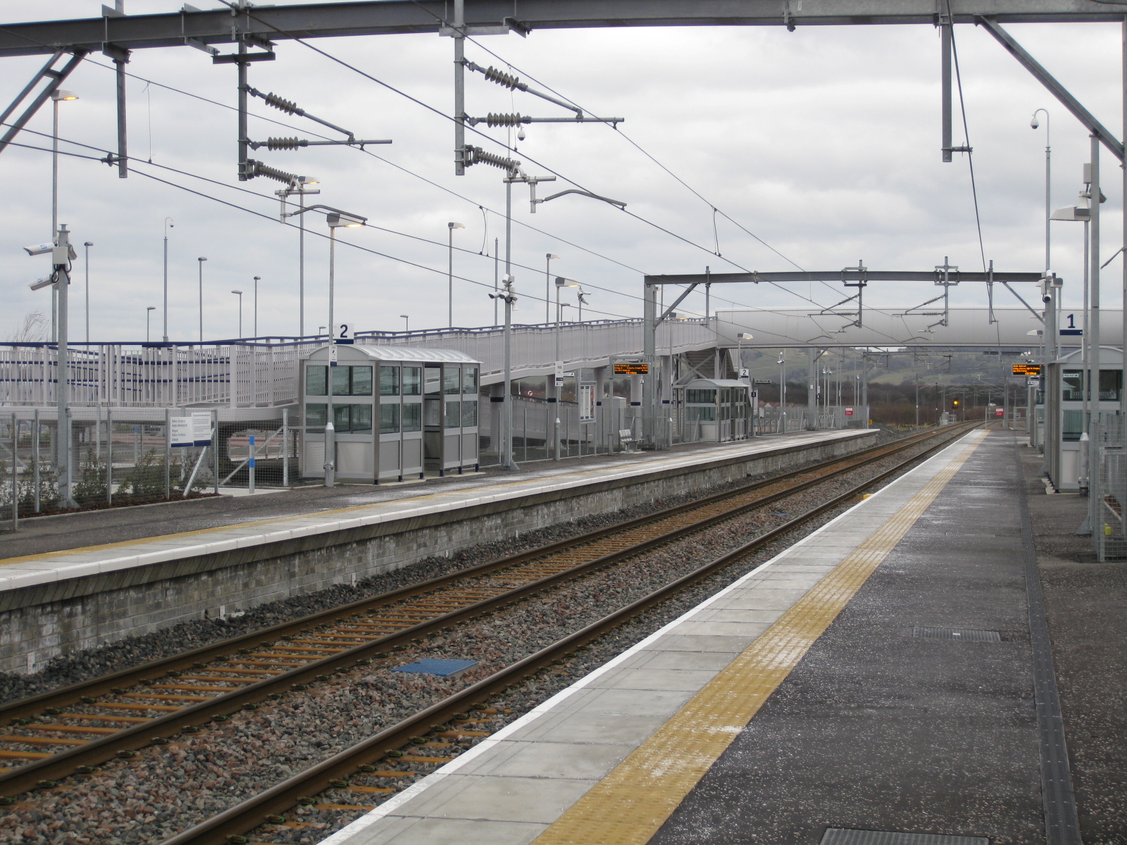
Armadale railway station (Scotland)
Armadale railway station is a railway station serving Armadale, West Lothian, Scotland. It is served by trains on the North Clyde Line. == History == The...

Armadale Stadium
Armadale Stadium is a motorcycle speedway and former greyhound racing stadium situated in the town of Armadale, West Lothian in Scotland. Stock car racing...
Volunteer Park, Armadale
Volunteer Park is a football ground in Armadale, West Lothian, Scotland. It is the home ground of Armadale Thistle, and was used by several of the town...
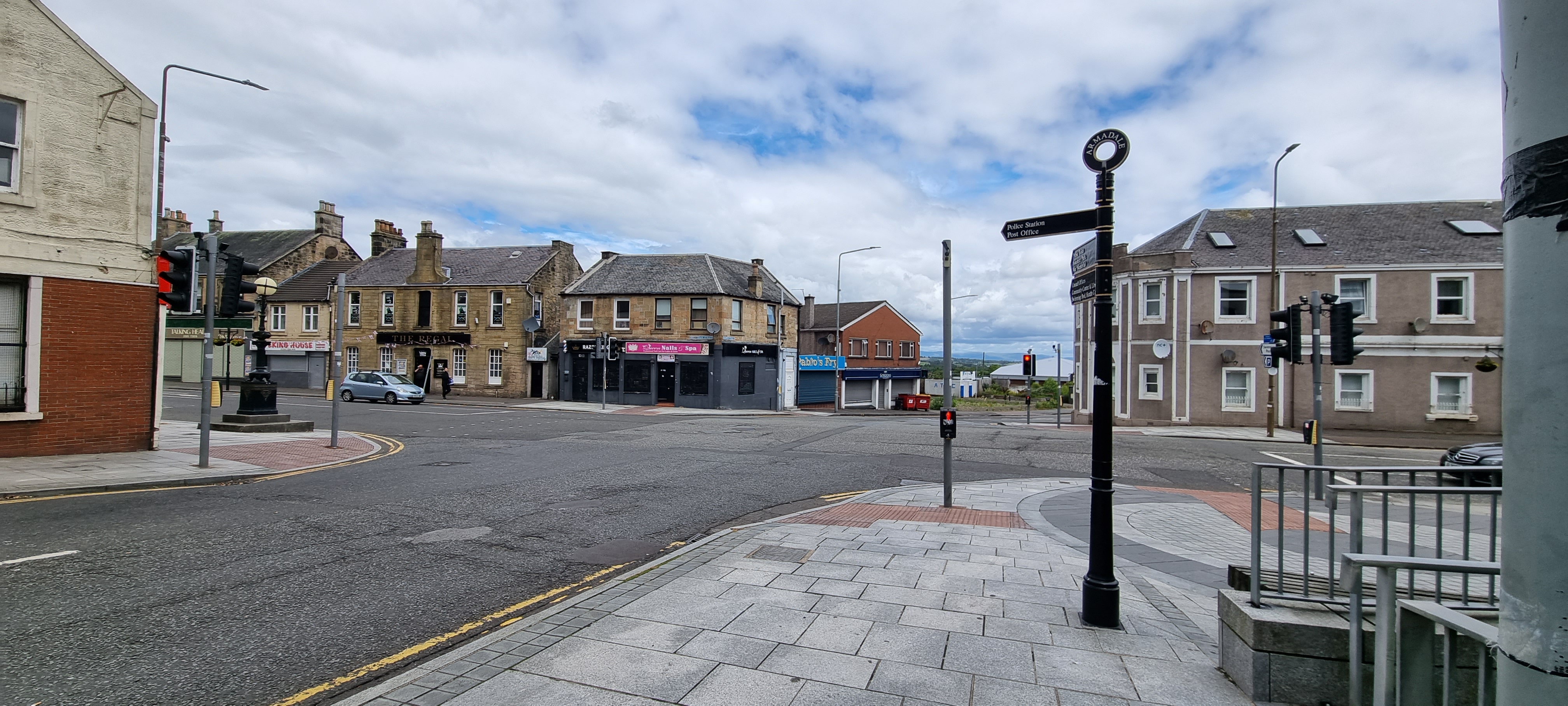
Armadale, West Lothian
Armadale (Scots: Airmadale, Scottish Gaelic: Armadal) is a town within the county of West Lothian in the Central Belt of Scotland. It lies to the west...
Nearby Amenities
Located within 500m of 55.89331,-3.692875Have you been to Bathville?
Leave your review of Bathville below (or comments, questions and feedback).