Bathpool

Settlement in Cornwall

England

Bathpool

Rillaton view View from Meadow Barn across the Lynher valley towards Caradon Hill
Rillaton view Credit: Richard Croft

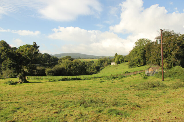
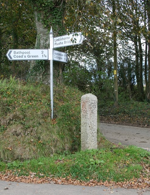
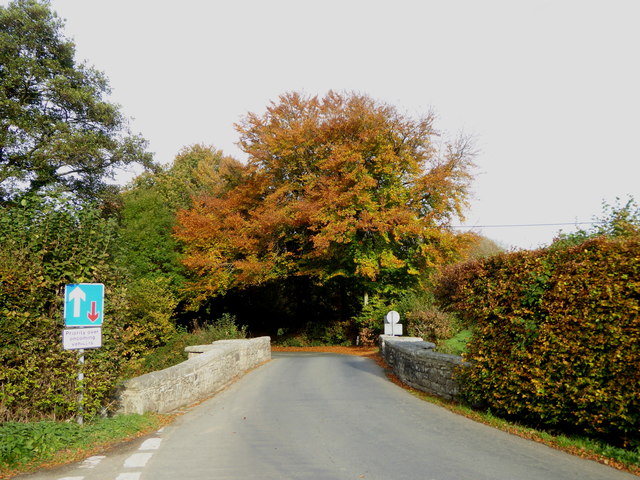
Bathpool is a small village located in the county of Cornwall, England. Situated on the southern coast of the country, it lies approximately 3 miles southeast of the town of Fowey and about 11 miles southwest of the city of St Austell. The village is nestled within picturesque countryside, offering stunning views of lush green fields and rolling hills.

Despite its small size, Bathpool boasts a rich history. It is believed that the village dates back to ancient times, with evidence of human settlements found in the area. Over the centuries, Bathpool has been home to various communities, each contributing to its cultural heritage.

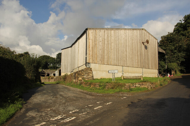
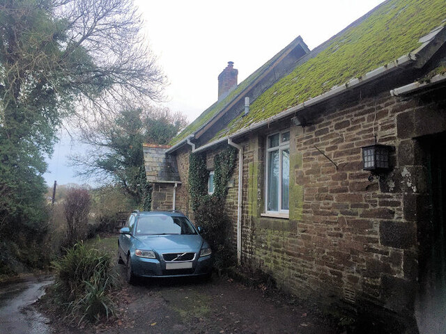
The village is characterized by its charming cottages, many of which retain their traditional architectural features. A small church, dedicated to St. Michael, stands at the heart of Bathpool, serving as a place of worship for the local community.

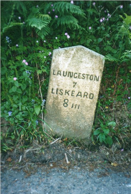
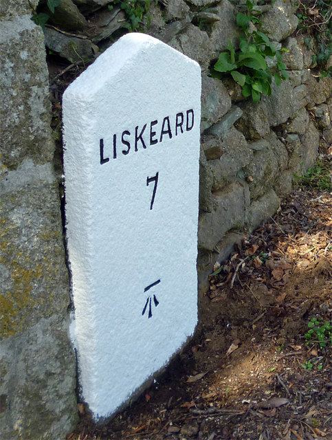
Bathpool is surrounded by natural beauty, with the nearby coast offering opportunities for scenic walks and water activities. The village is also in close proximity to several notable landmarks, including the historic Restormel Castle and the enchanting Lost Gardens of Heligan, attracting visitors from near and far.

While Bathpool may be a quiet and tranquil village, its location and proximity to larger towns and cities make it an attractive place to reside or visit for those seeking a peaceful escape amidst Cornwall's natural splendor.

If you have any feedback on the listing, please let us know in the comments section below.
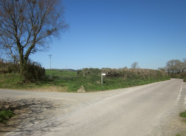
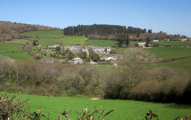
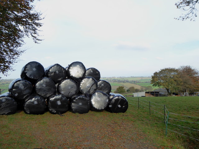
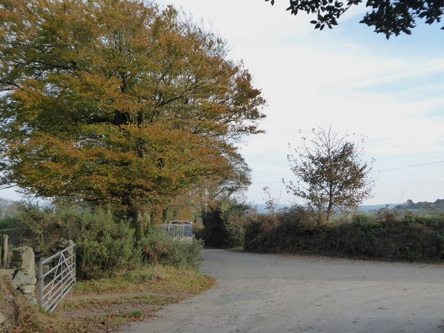
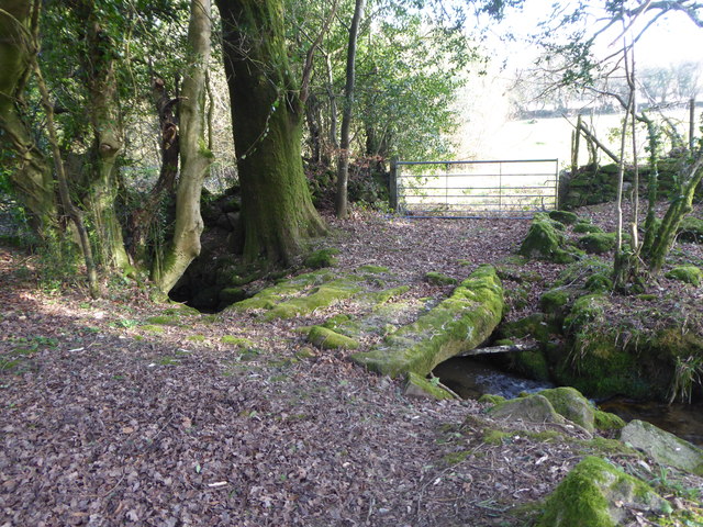
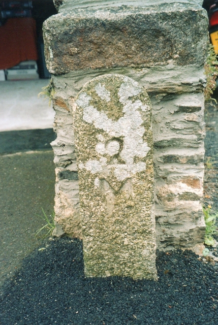
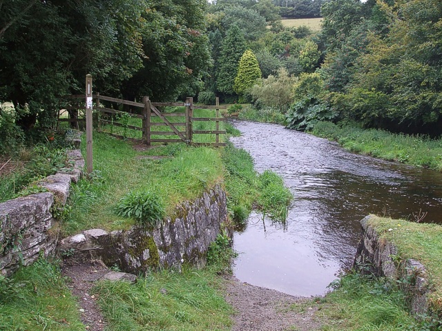
Bathpool Images

Images are sourced within 2km of 50.547221/-4.422658 or Grid Reference SX2874. Thanks to Geograph Open Source API. All images are credited.

Rillaton view View from Meadow Barn across the Lynher valley towards Caradon Hill
Rillaton view
View from Meadow Barn across the Lynher valley towards Caradon Hill
Rillaton view View from Meadow Barn across the Lynher valley towards Caradon Hill
Rillaton view
View from Meadow Barn across the Lynher valley towards Caradon Hill
Rillaton view View from Meadow Barn across the Lynher valley towards Caradon Hill
Rillaton view
View from Meadow Barn across the Lynher valley towards Caradon Hill
Lower Rillaton Farm Large Dairy Farm at Rillaton
Lower Rillaton Farm
Large Dairy Farm at Rillaton
Former Wesleyan Methodist Chapel
Former Wesleyan chapel, Rilla Mill
Old Guide Stone by Halwinnick Butts, Linkinhorne Parish By the UC road, in parish of Linkinhorne (Caradon District), Halwinnick Butts, at cross roads.

Inscription reads:-
: RED / GATE / E : : LIS / KEA / RD : : LAU / N / CES / TON : : CAM / EL / FORE / RD :

Grade II listed. List Entry Number: 1159047
<span class="nowrap"><a title="https://historicengland.org.uk/listing/the-list/list-entry/1159047" rel="nofollow ugc noopener" href="https://historicengland.org.uk/listing/the-list/list-entry/1159047">Link</a><img style="margin-left:2px;" alt="External link" title="External link - shift click to open in new window" src="https://s1.geograph.org.uk/img/external.png" width="10" height="10"/></span>

Surveyed

Milestone Society National ID: CW_XLINK
Old Guide Stone by Halwinnick Butts, Linkinhorne Parish
By the UC road, in parish of Linkinhorne (Caradon District), Halwinnick Butts, at cross roads. Inscription reads:- : RED / GATE / E : : LIS / KEA / RD : : LAU / N / CES / TON : : CAM / EL / FORE / RD : Grade II listed. List Entry Number: 1159047 LinkExternal link Surveyed Milestone Society National ID: CW_XLINK
Old Guidepost at Halwinnick Butts Guidepost by the UC road, in parish of Linkinhorne (Caradon District), Halwinnick Butts, at cross roads.

Inscription reads:-
: RED / GAT / E : : LIS / KEA / RD : : LAU / N / CES / TON : : CAM / EL / FOR / DE : 

Grade II listed. 
List Entry Number: 1159047 <span class="nowrap"><a title="https://historicengland.org.uk/listing/the-list/list-entry/1159047" rel="nofollow ugc noopener" href="https://historicengland.org.uk/listing/the-list/list-entry/1159047">Link</a><img style="margin-left:2px;" alt="External link" title="External link - shift click to open in new window" src="https://s1.geograph.org.uk/img/external.png" width="10" height="10"/></span>

Surveyed

Milestone Society National ID: CW_XLINK
Old Guidepost at Halwinnick Butts
Guidepost by the UC road, in parish of Linkinhorne (Caradon District), Halwinnick Butts, at cross roads. Inscription reads:- : RED / GAT / E : : LIS / KEA / RD : : LAU / N / CES / TON : : CAM / EL / FOR / DE : Grade II listed. List Entry Number: 1159047 LinkExternal link Surveyed Milestone Society National ID: CW_XLINK
Treovis Cross A crossroads on the B3254 that is more or less on a grid line. The right turn here is shown in <a href="https://www.geograph.org.uk/photo/4446942">SX2873 : Lane to Treovis</a>.
Treovis Cross
A crossroads on the B3254 that is more or less on a grid line. The right turn here is shown in SX2873 : Lane to Treovis.
Darley Farm From the same place on the B3254 as <a href="https://www.geograph.org.uk/photo/4447026">SX2772 : B3254 approaching Darleyford</a> looking across the valley of a tributary of the Lynher, and a grid line. Amid the farming hamlet is the listed farmhouse <span class="nowrap"><a title="http://www.historicengland.org.uk/listing/the-list/list-entry/1329173" rel="nofollow ugc noopener" href="http://www.historicengland.org.uk/listing/the-list/list-entry/1329173">Link</a><img style="margin-left:2px;" alt="External link" title="External link - shift click to open in new window" src="https://s1.geograph.org.uk/img/external.png" width="10" height="10"/></span> . Behind is Darley Wood.
Darley Farm
From the same place on the B3254 as SX2772 : B3254 approaching Darleyford looking across the valley of a tributary of the Lynher, and a grid line. Amid the farming hamlet is the listed farmhouse LinkExternal link . Behind is Darley Wood.
Silage bales at Kingbeare
The lane leading from Kingbeare to Botternell
Beriow Bridge over the River Lynher A Scheduled Monument and also Grade II* Listed. Dating from circa mid C16, repaired in 1640 (datestone) and widened on the upper side in 1890.
Beriow Bridge over the River Lynher
A Scheduled Monument and also Grade II* Listed. Dating from circa mid C16, repaired in 1640 (datestone) and widened on the upper side in 1890.
Old Milestone by the B3254, north of Berriowbridge Carved stone post by the B3254, in parish of NORTH HILL (NORTH CORNWALL District), 160m North of East Berriow, in Cornish hedge on steep narrow descent, on East side of road. Liskeard iii stone, erected by the Local Highways Board in the 19th century. 

Inscription reads:-
LAUNCESTON
7
LISKEARD
8iii 

Grade II Listed. List Entry Number: 1249711
<span class="nowrap"><a title="https://historicengland.org.uk/listing/the-list/list-entry/1249711" rel="nofollow ugc noopener" href="https://historicengland.org.uk/listing/the-list/list-entry/1249711">Link</a><img style="margin-left:2px;" alt="External link" title="External link - shift click to open in new window" src="https://s1.geograph.org.uk/img/external.png" width="10" height="10"/></span>

Milestone Society National ID: CW_LALK07.
Old Milestone by the B3254, north of Berriowbridge
Carved stone post by the B3254, in parish of NORTH HILL (NORTH CORNWALL District), 160m North of East Berriow, in Cornish hedge on steep narrow descent, on East side of road. Liskeard iii stone, erected by the Local Highways Board in the 19th century. Inscription reads:- LAUNCESTON 7 LISKEARD 8iii Grade II Listed. List Entry Number: 1249711 LinkExternal link Milestone Society National ID: CW_LALK07.
Old Milestone by the B3254 at Botternell Carved stone post by the B3254, in parish of NORTH HILL (NORTH CORNWALL District), opposite Botternell farmhouse, against Cornish hedge, on West side of road. Liskeard iii stone, erected by the Local Highways Board in the 19th century. 

Inscription reads:-
LAUNCESTON
8 
LISKEARD
7iii (7¾)  

Grade II Listed. List Entry Number: 1249563
<span class="nowrap"><a title="https://historicengland.org.uk/listing/the-list/list-entry/1249563" rel="nofollow ugc noopener" href="https://historicengland.org.uk/listing/the-list/list-entry/1249563">Link</a><img style="margin-left:2px;" alt="External link" title="External link - shift click to open in new window" src="https://s1.geograph.org.uk/img/external.png" width="10" height="10"/></span>

Milestone Society National ID: CW_LALK08.
Old Milestone by the B3254 at Botternell
Carved stone post by the B3254, in parish of NORTH HILL (NORTH CORNWALL District), opposite Botternell farmhouse, against Cornish hedge, on West side of road. Liskeard iii stone, erected by the Local Highways Board in the 19th century. Inscription reads:- LAUNCESTON 8 LISKEARD 7iii (7¾) Grade II Listed. List Entry Number: 1249563 LinkExternal link Milestone Society National ID: CW_LALK08.
Old Milestone by the B3254 at North Darley Carved stone post by the B3254, in parish of LINKINHORNE (CARADON District), North Darley, against wall beside entrance to Darley House, on West side of road. Gravestone, erected by the Local Highways Board in the 19th century. 

Inscription reads:-
LISKEARD
7 
Carved benchmark on lower face.

Grade II Listed. List Entry Number: 1311190
<span class="nowrap"><a title="https://historicengland.org.uk/listing/the-list/list-entry/1311190" rel="nofollow ugc noopener" href="https://historicengland.org.uk/listing/the-list/list-entry/1311190">Link</a><img style="margin-left:2px;" alt="External link" title="External link - shift click to open in new window" src="https://s1.geograph.org.uk/img/external.png" width="10" height="10"/></span>

Milestone Society National ID: CW_LKLA07.
Old Milestone by the B3254 at North Darley
Carved stone post by the B3254, in parish of LINKINHORNE (CARADON District), North Darley, against wall beside entrance to Darley House, on West side of road. Gravestone, erected by the Local Highways Board in the 19th century. Inscription reads:- LISKEARD 7 Carved benchmark on lower face. Grade II Listed. List Entry Number: 1311190 LinkExternal link Milestone Society National ID: CW_LKLA07.
Stone bridge over the stream near Blackcoombe Farm
Old Milestone by Berrio Bridge House, North Hill Carved stone post in parish of North Hill (North Cornwall District), Berrio Bridge House B & B, at end of boundary wall. Ornamental, on South side of road. C&L railway marker, erected by a railway company in the 19th century. 

Inscription reads:-
2
M

Cornwall & Scilly HER.
HER Number: MCO58216 <span class="nowrap"><a title="https://www.heritagegateway.org.uk/Gateway/Results_Single.aspx?uid=MCO58216&resourceID=1020" rel="nofollow ugc noopener" href="https://www.heritagegateway.org.uk/Gateway/Results_Single.aspx?uid=MCO58216&resourceID=1020">Link</a><img style="margin-left:2px;" alt="External link" title="External link - shift click to open in new window" src="https://s1.geograph.org.uk/img/external.png" width="10" height="10"/></span> 

Milestone Society National ID: CW_M2
Old Milestone by Berrio Bridge House, North Hill
Carved stone post in parish of North Hill (North Cornwall District), Berrio Bridge House B & B, at end of boundary wall. Ornamental, on South side of road. C&L railway marker, erected by a railway company in the 19th century. Inscription reads:- 2 M Cornwall & Scilly HER. HER Number: MCO58216 LinkExternal link Milestone Society National ID: CW_M2
Show me another place!

Bathpool is located at Grid Ref: SX2874 (Lat: 50.547221, Lng: -4.422658)

Unitary Authority: Cornwall

Police Authority: Devon and Cornwall

What 3 Words

///future.airports.brimmed. Near North Hill, Cornwall

Related Wikis

Bathpool, Cornwall

Bathpool (Cornish: Pollbath) is a small village in the civil parish of North Hill in east Cornwall, England, United Kingdom. It is situated in the River...

Botternell

Botternell is a hamlet in the parish of North Hill, east Cornwall in the United Kingdom. The name means "Dornel's dwelling". Boturnell, also in Cornwall...

Stara Woods

Stara Woods is a privately owned woodland in east Cornwall, England, UK, of local interest after being bought by a local resident in 2004 and repurposed...
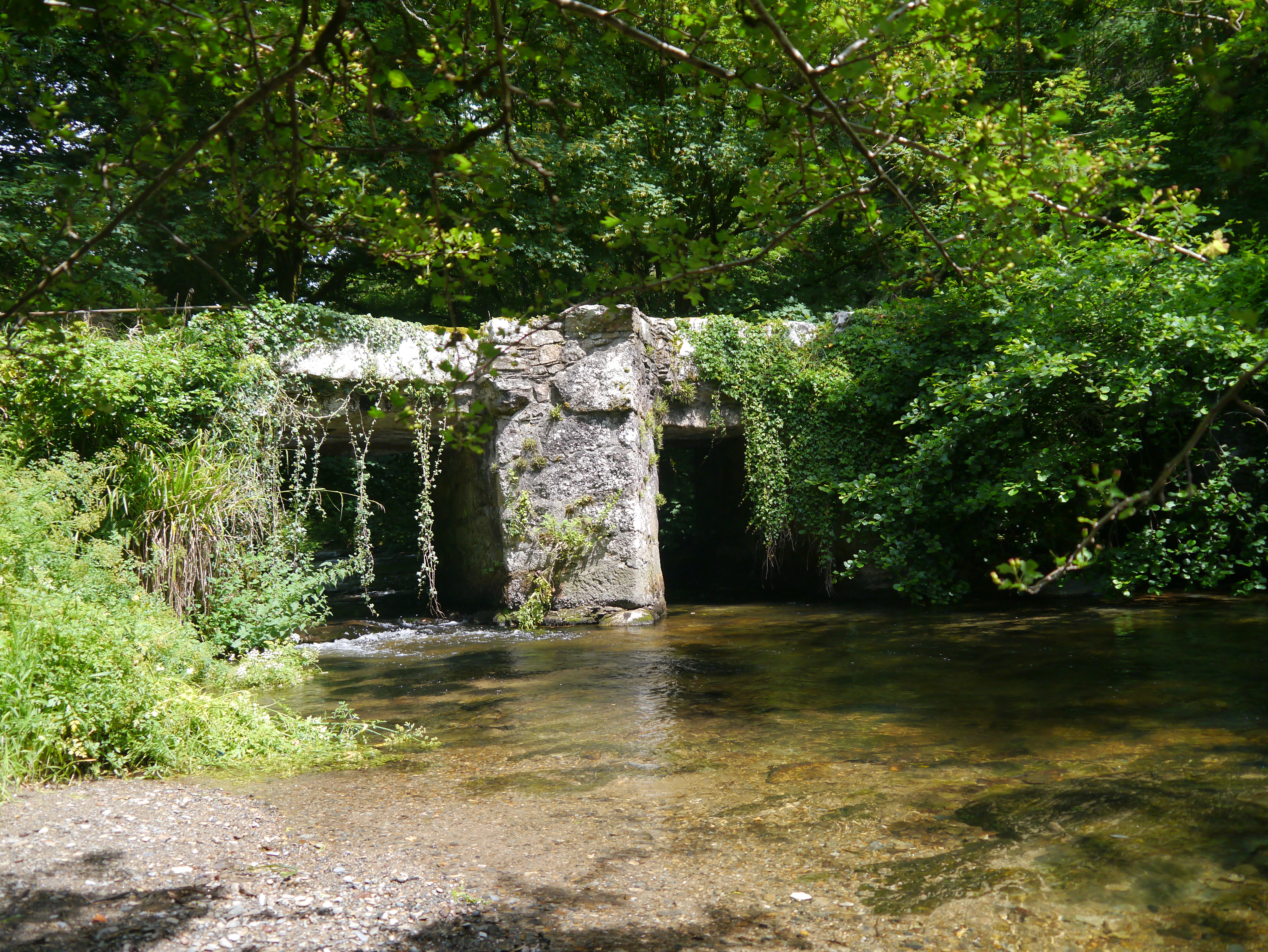
Stara Bridge

Stara Bridge is a clapper bridge across the River Lynher in east Cornwall, England, dating to the Late Middle Ages and now scheduled under the Ancient...

Nearby Amenities

Located within 500m of 50.547221,-4.422658
Bathpool
Name En: Bathpool
Name Kw: Pollbadh
Place: hamlet
Source: OS_OpenData_StreetView
Wikidata: Q4869066
Lat/Long: 50.5479379/-4.4218716
Generator Method: photovoltaic
Generator Output Electricity: yes
Generator Source: solar
Generator Type: solar_photovoltaic_panel
Location: roof
Power: generator
Lat/Long: 50.5486123/-4.4236819
Generator Method: photovoltaic
Generator Output Electricity: yes
Generator Source: solar
Generator Type: solar_photovoltaic_panel
Location: roof
Power: generator
Lat/Long: 50.5471875/-4.4227861
Generator Method: photovoltaic
Generator Output Electricity: yes
Generator Source: solar
Generator Type: solar_photovoltaic_panel
Location: roof
Power: generator
Lat/Long: 50.546187/-4.4205625
Generator Method: photovoltaic
Generator Output Electricity: yes
Generator Source: solar
Generator Type: solar_photovoltaic_panel
Location: roof
Power: generator
Lat/Long: 50.5461895/-4.4206242
The data included in this document is from www.openstreetmap.org. The data is made available under ODbL.

Have you been to Bathpool?

Leave your review of Bathpool below (or comments, questions and feedback).