Treovis Wood

Wood, Forest in Cornwall

England

Treovis Wood

Rillaton view View from Meadow Barn across the Lynher valley towards Caradon Hill
Rillaton view Credit: Richard Croft

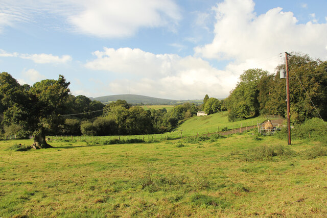
Treovis Wood is a beautiful forest located in Cornwall, England. It covers an area of approximately 100 acres and is known for its diverse range of native tree species, including oak, beech, and ash. The wood is a popular destination for nature lovers and hikers, who come to explore its winding trails and peaceful surroundings.

Treovis Wood is home to a variety of wildlife, including deer, squirrels, and a wide array of bird species. The forest is also rich in flora, with carpets of bluebells and primroses blooming in the springtime. Visitors can enjoy the sights and sounds of nature while strolling through the wood or taking a leisurely picnic on one of its many grassy clearings.

The wood is well-maintained, with designated paths and signage to guide visitors through the forest. There are also picnic areas and benches scattered throughout the wood for visitors to rest and take in the natural beauty. Treovis Wood offers a peaceful retreat from the hustle and bustle of everyday life, making it a popular destination for those looking to connect with nature.

If you have any feedback on the listing, please let us know in the comments section below.
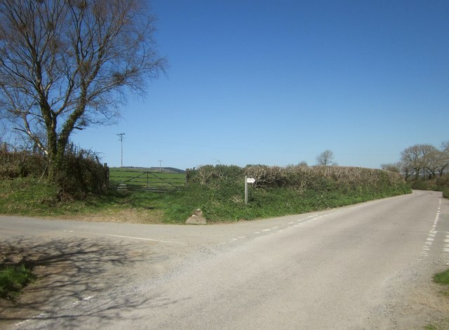
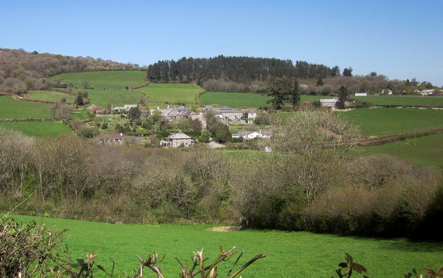
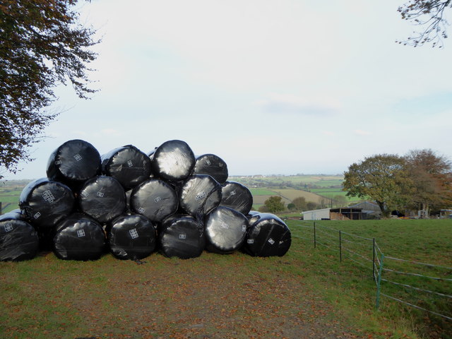
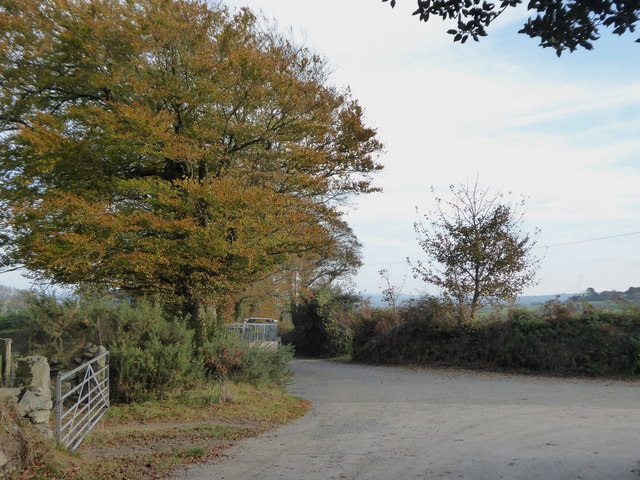
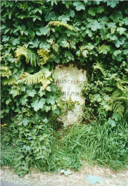
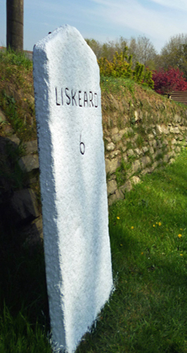
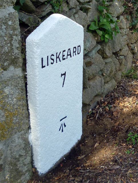
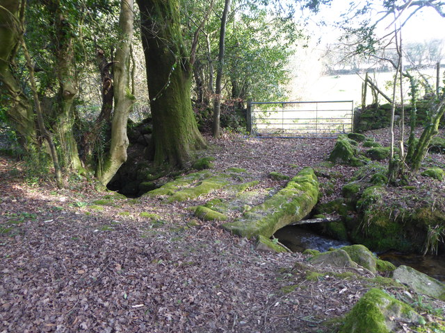
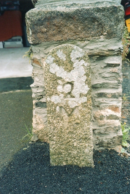
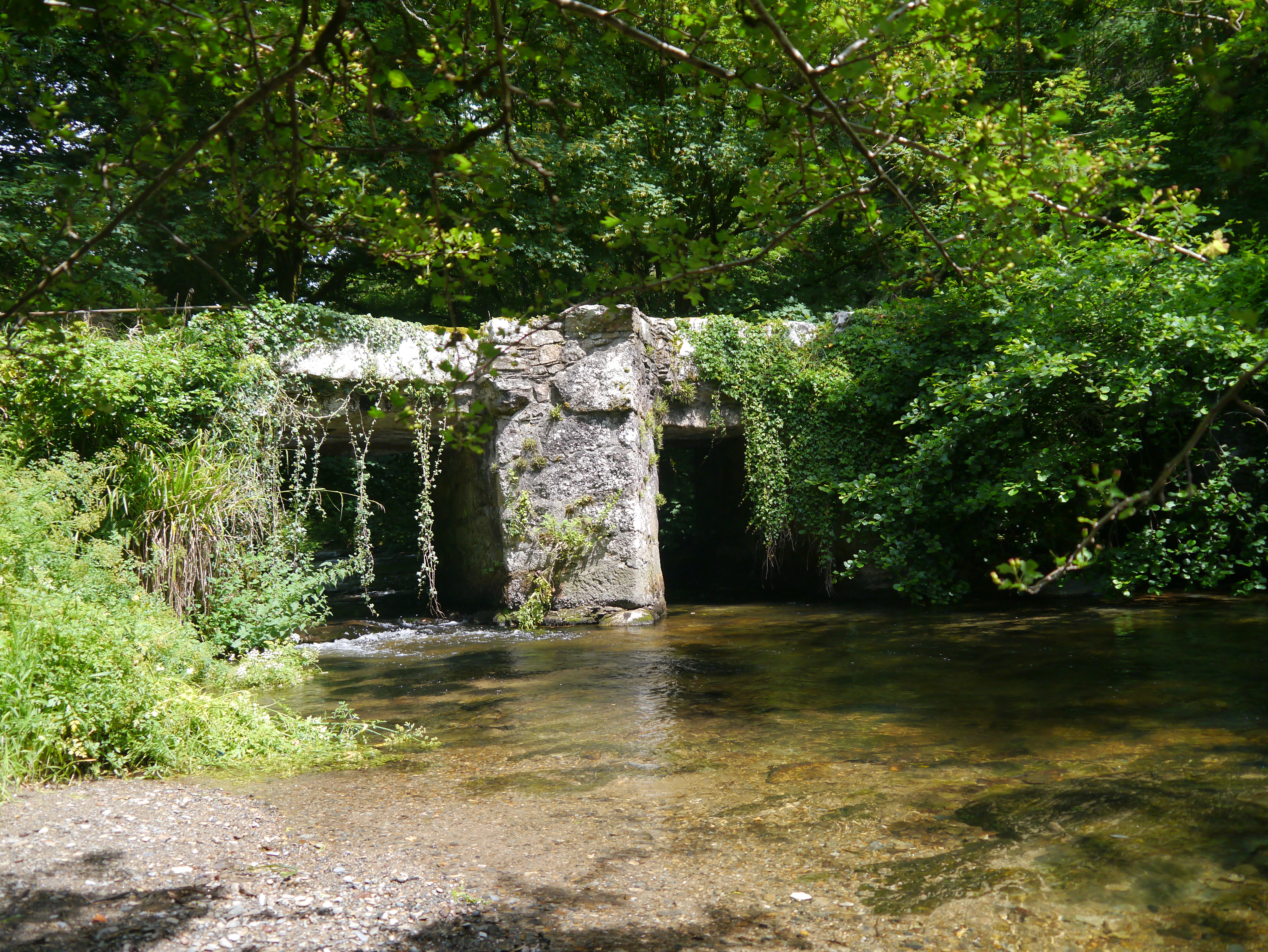
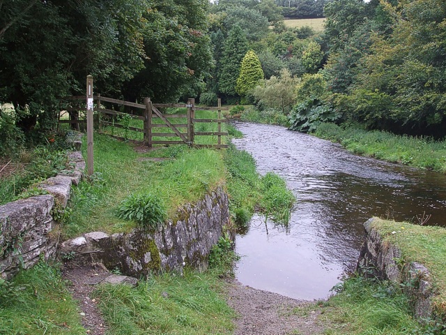
Treovis Wood Images

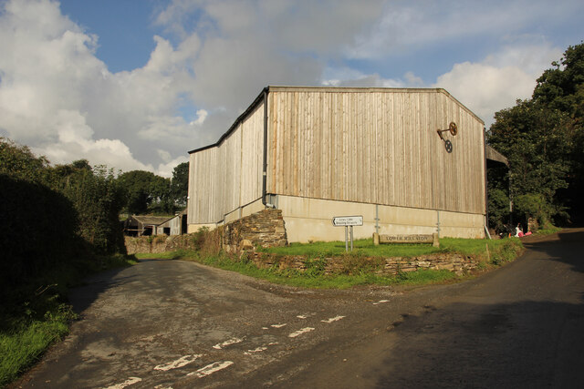
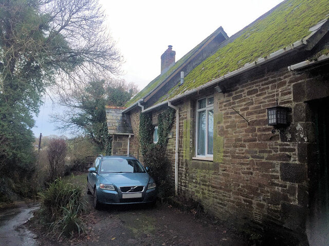
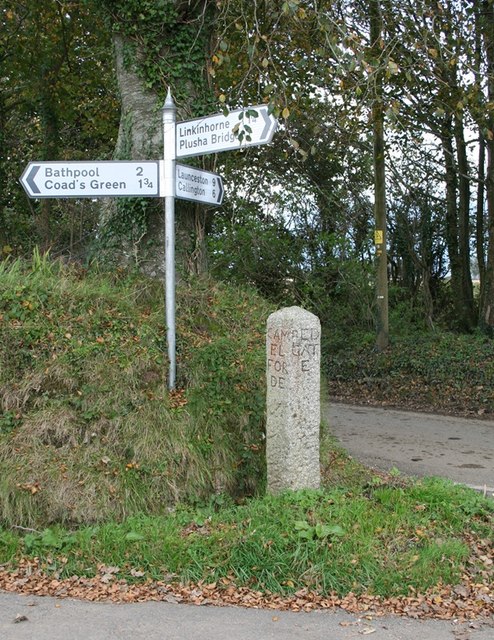
Images are sourced within 2km of 50.542652/-4.4183295 or Grid Reference SX2874. Thanks to Geograph Open Source API. All images are credited.

Rillaton view View from Meadow Barn across the Lynher valley towards Caradon Hill
Rillaton view
View from Meadow Barn across the Lynher valley towards Caradon Hill
Rillaton view View from Meadow Barn across the Lynher valley towards Caradon Hill
Rillaton view
View from Meadow Barn across the Lynher valley towards Caradon Hill
Rillaton view View from Meadow Barn across the Lynher valley towards Caradon Hill
Rillaton view
View from Meadow Barn across the Lynher valley towards Caradon Hill
Lower Rillaton Farm Large Dairy Farm at Rillaton
Lower Rillaton Farm
Large Dairy Farm at Rillaton
Former Wesleyan Methodist Chapel
Former Wesleyan chapel, Rilla Mill
Old Guide Stone by Halwinnick Butts, Linkinhorne Parish By the UC road, in parish of Linkinhorne (Caradon District), Halwinnick Butts, at cross roads.

Inscription reads:-
: RED / GATE / E : : LIS / KEA / RD : : LAU / N / CES / TON : : CAM / EL / FORE / RD :

Grade II listed. List Entry Number: 1159047
<span class="nowrap"><a title="https://historicengland.org.uk/listing/the-list/list-entry/1159047" rel="nofollow ugc noopener" href="https://historicengland.org.uk/listing/the-list/list-entry/1159047">Link</a><img style="margin-left:2px;" alt="External link" title="External link - shift click to open in new window" src="https://s1.geograph.org.uk/img/external.png" width="10" height="10"/></span>

Surveyed

Milestone Society National ID: CW_XLINK
Old Guide Stone by Halwinnick Butts, Linkinhorne Parish
By the UC road, in parish of Linkinhorne (Caradon District), Halwinnick Butts, at cross roads. Inscription reads:- : RED / GATE / E : : LIS / KEA / RD : : LAU / N / CES / TON : : CAM / EL / FORE / RD : Grade II listed. List Entry Number: 1159047 LinkExternal link Surveyed Milestone Society National ID: CW_XLINK
Old Guidepost at Halwinnick Butts Guidepost by the UC road, in parish of Linkinhorne (Caradon District), Halwinnick Butts, at cross roads.

Inscription reads:-
: RED / GAT / E : : LIS / KEA / RD : : LAU / N / CES / TON : : CAM / EL / FOR / DE : 

Grade II listed. 
List Entry Number: 1159047 <span class="nowrap"><a title="https://historicengland.org.uk/listing/the-list/list-entry/1159047" rel="nofollow ugc noopener" href="https://historicengland.org.uk/listing/the-list/list-entry/1159047">Link</a><img style="margin-left:2px;" alt="External link" title="External link - shift click to open in new window" src="https://s1.geograph.org.uk/img/external.png" width="10" height="10"/></span>

Surveyed

Milestone Society National ID: CW_XLINK
Old Guidepost at Halwinnick Butts
Guidepost by the UC road, in parish of Linkinhorne (Caradon District), Halwinnick Butts, at cross roads. Inscription reads:- : RED / GAT / E : : LIS / KEA / RD : : LAU / N / CES / TON : : CAM / EL / FOR / DE : Grade II listed. List Entry Number: 1159047 LinkExternal link Surveyed Milestone Society National ID: CW_XLINK
Treovis Cross A crossroads on the B3254 that is more or less on a grid line. The right turn here is shown in <a href="https://www.geograph.org.uk/photo/4446942">SX2873 : Lane to Treovis</a>.
Treovis Cross
A crossroads on the B3254 that is more or less on a grid line. The right turn here is shown in SX2873 : Lane to Treovis.
Darley Farm From the same place on the B3254 as <a href="https://www.geograph.org.uk/photo/4447026">SX2772 : B3254 approaching Darleyford</a> looking across the valley of a tributary of the Lynher, and a grid line. Amid the farming hamlet is the listed farmhouse <span class="nowrap"><a title="http://www.historicengland.org.uk/listing/the-list/list-entry/1329173" rel="nofollow ugc noopener" href="http://www.historicengland.org.uk/listing/the-list/list-entry/1329173">Link</a><img style="margin-left:2px;" alt="External link" title="External link - shift click to open in new window" src="https://s1.geograph.org.uk/img/external.png" width="10" height="10"/></span> . Behind is Darley Wood.
Darley Farm
From the same place on the B3254 as SX2772 : B3254 approaching Darleyford looking across the valley of a tributary of the Lynher, and a grid line. Amid the farming hamlet is the listed farmhouse LinkExternal link . Behind is Darley Wood.
Silage bales at Kingbeare
The lane leading from Kingbeare to Botternell
Old Milestone by the B3254 at Botternell Carved stone post by the B3254, in parish of NORTH HILL (NORTH CORNWALL District), opposite Botternell farmhouse, against Cornish hedge, on West side of road. Liskeard iii stone, erected by the Local Highways Board in the 19th century. 

Inscription reads:-
LAUNCESTON
8 
LISKEARD
7iii (7¾)  

Grade II Listed. List Entry Number: 1249563
<span class="nowrap"><a title="https://historicengland.org.uk/listing/the-list/list-entry/1249563" rel="nofollow ugc noopener" href="https://historicengland.org.uk/listing/the-list/list-entry/1249563">Link</a><img style="margin-left:2px;" alt="External link" title="External link - shift click to open in new window" src="https://s1.geograph.org.uk/img/external.png" width="10" height="10"/></span>

Milestone Society National ID: CW_LALK08.
Old Milestone by the B3254 at Botternell
Carved stone post by the B3254, in parish of NORTH HILL (NORTH CORNWALL District), opposite Botternell farmhouse, against Cornish hedge, on West side of road. Liskeard iii stone, erected by the Local Highways Board in the 19th century. Inscription reads:- LAUNCESTON 8 LISKEARD 7iii (7¾) Grade II Listed. List Entry Number: 1249563 LinkExternal link Milestone Society National ID: CW_LALK08.
Old Milestone by the B3254, north of Upton Cross Carved stone post by the B3254, in parish of LINKINHORNE (CARADON District), Upton, on crossroads in front of Cornish hedge, on East side of road. Gravestone, erected by the Local Highways Board in the 19th century. 

Inscription reads:-
LISKEARD
6 

Grade II Listed. List Entry Number: 1140529
<span class="nowrap"><a title="https://historicengland.org.uk/listing/the-list/list-entry/1140529" rel="nofollow ugc noopener" href="https://historicengland.org.uk/listing/the-list/list-entry/1140529">Link</a><img style="margin-left:2px;" alt="External link" title="External link - shift click to open in new window" src="https://s1.geograph.org.uk/img/external.png" width="10" height="10"/></span>

Milestone Society National ID: CW_LKLA06.
Old Milestone by the B3254, north of Upton Cross
Carved stone post by the B3254, in parish of LINKINHORNE (CARADON District), Upton, on crossroads in front of Cornish hedge, on East side of road. Gravestone, erected by the Local Highways Board in the 19th century. Inscription reads:- LISKEARD 6 Grade II Listed. List Entry Number: 1140529 LinkExternal link Milestone Society National ID: CW_LKLA06.
Old Milestone by the B3254 at North Darley Carved stone post by the B3254, in parish of LINKINHORNE (CARADON District), North Darley, against wall beside entrance to Darley House, on West side of road. Gravestone, erected by the Local Highways Board in the 19th century. 

Inscription reads:-
LISKEARD
7 
Carved benchmark on lower face.

Grade II Listed. List Entry Number: 1311190
<span class="nowrap"><a title="https://historicengland.org.uk/listing/the-list/list-entry/1311190" rel="nofollow ugc noopener" href="https://historicengland.org.uk/listing/the-list/list-entry/1311190">Link</a><img style="margin-left:2px;" alt="External link" title="External link - shift click to open in new window" src="https://s1.geograph.org.uk/img/external.png" width="10" height="10"/></span>

Milestone Society National ID: CW_LKLA07.
Old Milestone by the B3254 at North Darley
Carved stone post by the B3254, in parish of LINKINHORNE (CARADON District), North Darley, against wall beside entrance to Darley House, on West side of road. Gravestone, erected by the Local Highways Board in the 19th century. Inscription reads:- LISKEARD 7 Carved benchmark on lower face. Grade II Listed. List Entry Number: 1311190 LinkExternal link Milestone Society National ID: CW_LKLA07.
Stone bridge over the stream near Blackcoombe Farm
Old Milestone by Berrio Bridge House, North Hill Carved stone post in parish of North Hill (North Cornwall District), Berrio Bridge House B & B, at end of boundary wall. Ornamental, on South side of road. C&L railway marker, erected by a railway company in the 19th century. 

Inscription reads:-
2
M

Cornwall & Scilly HER.
HER Number: MCO58216 <span class="nowrap"><a title="https://www.heritagegateway.org.uk/Gateway/Results_Single.aspx?uid=MCO58216&resourceID=1020" rel="nofollow ugc noopener" href="https://www.heritagegateway.org.uk/Gateway/Results_Single.aspx?uid=MCO58216&resourceID=1020">Link</a><img style="margin-left:2px;" alt="External link" title="External link - shift click to open in new window" src="https://s1.geograph.org.uk/img/external.png" width="10" height="10"/></span> 

Milestone Society National ID: CW_M2
Old Milestone by Berrio Bridge House, North Hill
Carved stone post in parish of North Hill (North Cornwall District), Berrio Bridge House B & B, at end of boundary wall. Ornamental, on South side of road. C&L railway marker, erected by a railway company in the 19th century. Inscription reads:- 2 M Cornwall & Scilly HER. HER Number: MCO58216 LinkExternal link Milestone Society National ID: CW_M2
Old Milestone by the B3254, north of Upton Cross Carved stone post by the B3254, in parish of LINKINHORNE (CARADON District), Upton, on minor crossroads in front of Cornish hedge, on East side of road. Gravestone, erected by the Local Highways Board in the 19th century. 

Inscription reads:-
LISKEARD
6

Grade II listed. 
List Entry Number: 1140529 <span class="nowrap"><a title="https://historicengland.org.uk/listing/the-list/list-entry/1140529" rel="nofollow ugc noopener" href="https://historicengland.org.uk/listing/the-list/list-entry/1140529">Link</a><img style="margin-left:2px;" alt="External link" title="External link - shift click to open in new window" src="https://s1.geograph.org.uk/img/external.png" width="10" height="10"/></span>

Milestone Society National ID: CW_LKLA06.
Old Milestone by the B3254, north of Upton Cross
Carved stone post by the B3254, in parish of LINKINHORNE (CARADON District), Upton, on minor crossroads in front of Cornish hedge, on East side of road. Gravestone, erected by the Local Highways Board in the 19th century. Inscription reads:- LISKEARD 6 Grade II listed. List Entry Number: 1140529 LinkExternal link Milestone Society National ID: CW_LKLA06.
Show me another place!

Treovis Wood is located at Grid Ref: SX2874 (Lat: 50.542652, Lng: -4.4183295)

Unitary Authority: Cornwall

Police Authority: Devon and Cornwall

What 3 Words

///fictional.presenter.laws. Near North Hill, Cornwall

Related Wikis

Stara Woods

Stara Woods is a privately owned woodland in east Cornwall, England, UK, of local interest after being bought by a local resident in 2004 and repurposed...

Stara Bridge

Stara Bridge is a clapper bridge across the River Lynher in east Cornwall, England, dating to the Late Middle Ages and now scheduled under the Ancient...

Bathpool, Cornwall

Bathpool (Cornish: Pollbath) is a small village in the civil parish of North Hill in east Cornwall, England, United Kingdom. It is situated in the River...

Botternell

Botternell is a hamlet in the parish of North Hill, east Cornwall in the United Kingdom. The name means "Dornel's dwelling". Boturnell, also in Cornwall...

Nearby Amenities

Located within 500m of 50.542652,-4.4183295
Generator Method: photovoltaic
Generator Output Electricity: yes
Generator Source: solar
Generator Type: solar_photovoltaic_panel
Location: roof
Power: generator
Lat/Long: 50.546187/-4.4205625
Generator Method: photovoltaic
Generator Output Electricity: yes
Generator Source: solar
Generator Type: solar_photovoltaic_panel
Location: roof
Power: generator
Lat/Long: 50.5461895/-4.4206242
Treovis
Place: hamlet
Lat/Long: 50.5399586/-4.4226631
The data included in this document is from www.openstreetmap.org. The data is made available under ODbL.

Have you been to Treovis Wood?

Leave your review of Treovis Wood below (or comments, questions and feedback).