Cutler's Green

Settlement in Somerset Mendip

England

Cutler's Green

View from Redhill Lane near Emborough A view southwest from Redhill Lane, with wind turbines in the background.
The ground is iron rich, giving the red colour that Redhill Lane is named for.
View from Redhill Lane near Emborough Credit: Kevin Pearson

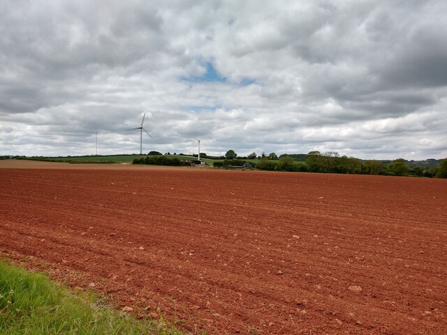
Cutler's Green is a small village located in the county of Somerset, England. Situated approximately 10 miles south of the town of Yeovil, it falls within the district of South Somerset. The village is nestled in a picturesque rural setting, surrounded by rolling green hills and farmland.

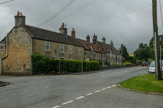
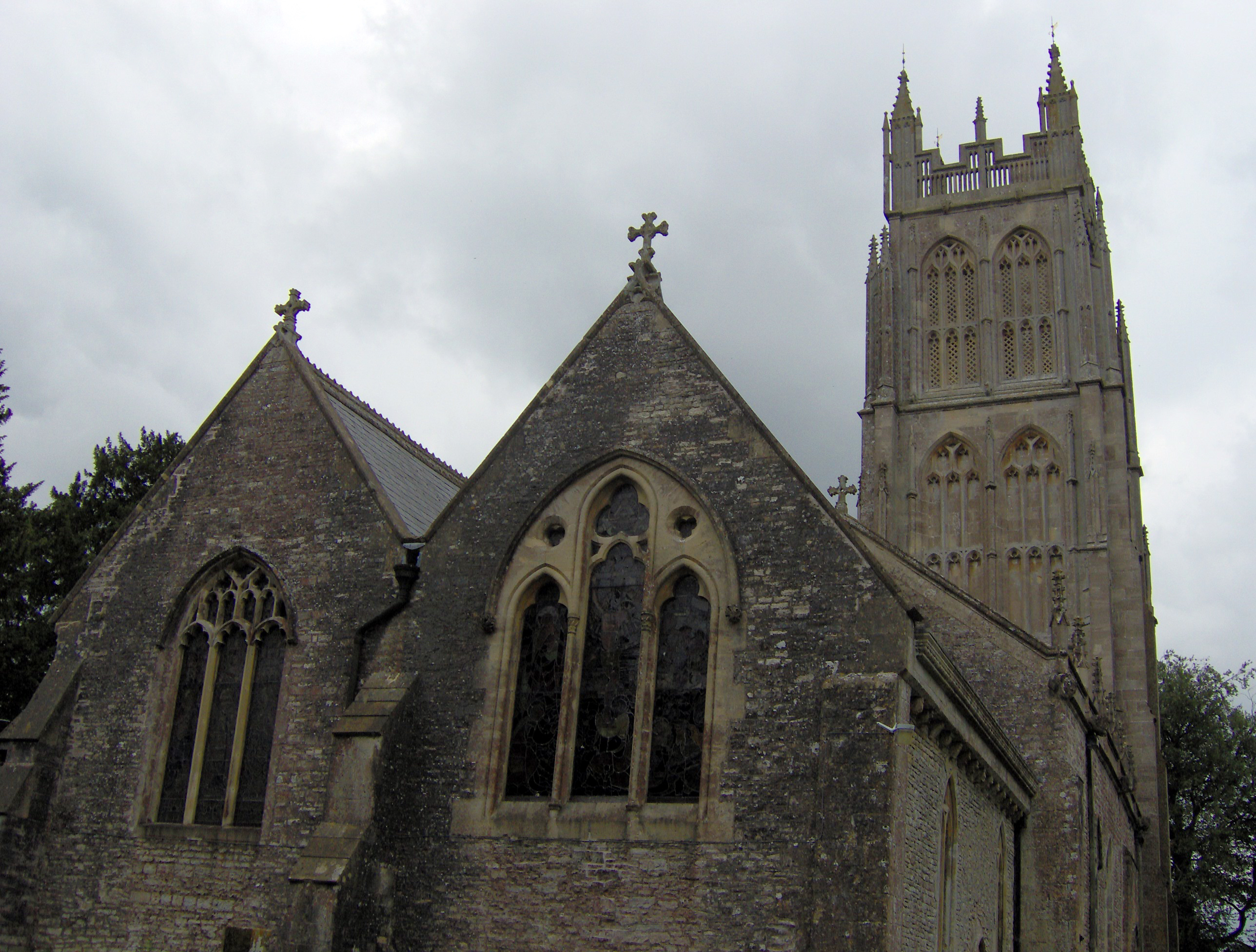
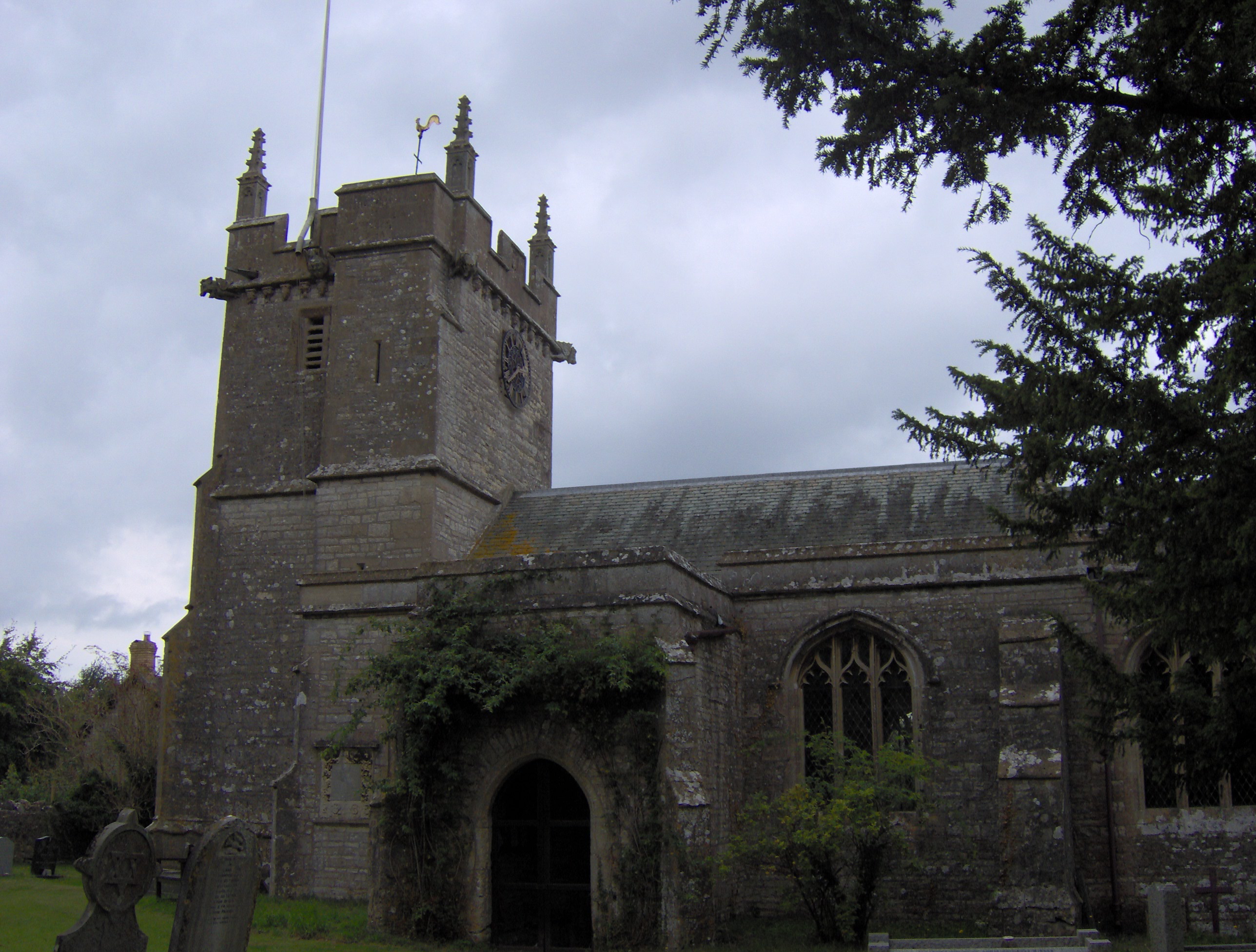
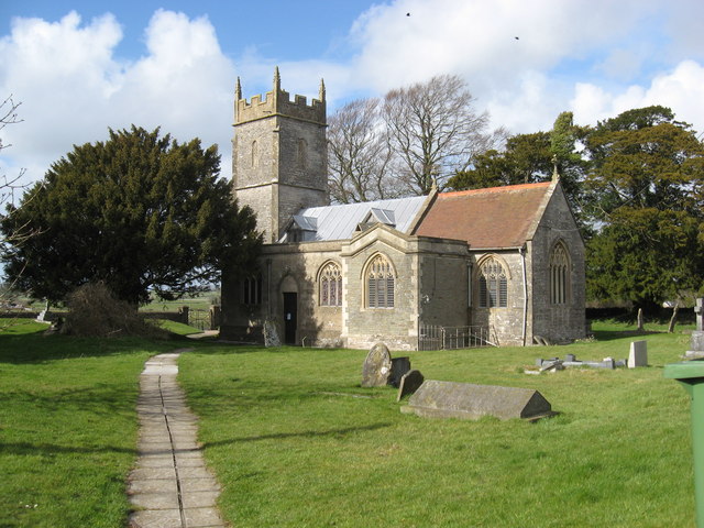
The origins of Cutler's Green can be traced back to medieval times, and it has retained much of its historic charm. The village is characterized by its quaint thatched-roof cottages, traditional country pubs, and a small but welcoming community. The local church, St. Michael and All Angels, is a notable landmark that dates back to the 14th century.

Despite its small size, Cutler's Green offers a range of amenities to its residents and visitors. These include a village hall, a primary school, and a post office. The village also benefits from its proximity to nearby towns, providing access to additional services and facilities.

The surrounding countryside provides ample opportunities for outdoor activities and exploration. There are numerous walking and cycling routes that showcase the area's natural beauty, including the nearby Blackdown Hills Area of Outstanding Natural Beauty. The village is also within reach of popular tourist attractions such as Montacute House, a stunning Elizabethan mansion, and Ham Hill Country Park, known for its Iron Age hillfort and panoramic views.

Cutler's Green offers a peaceful and idyllic lifestyle, making it an appealing destination for those seeking a rural retreat in the heart of Somerset.

If you have any feedback on the listing, please let us know in the comments section below.

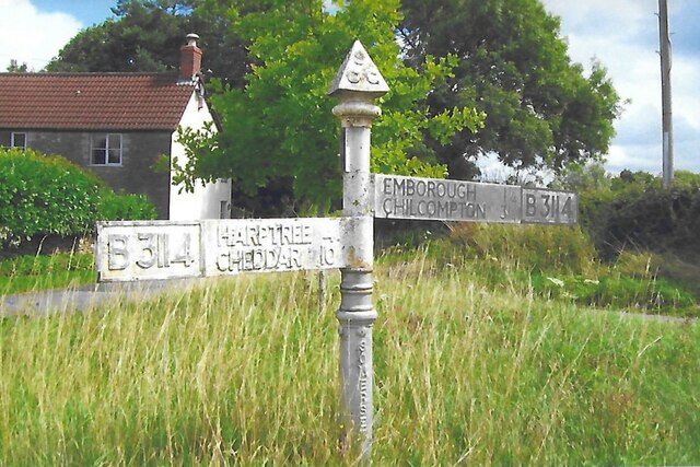
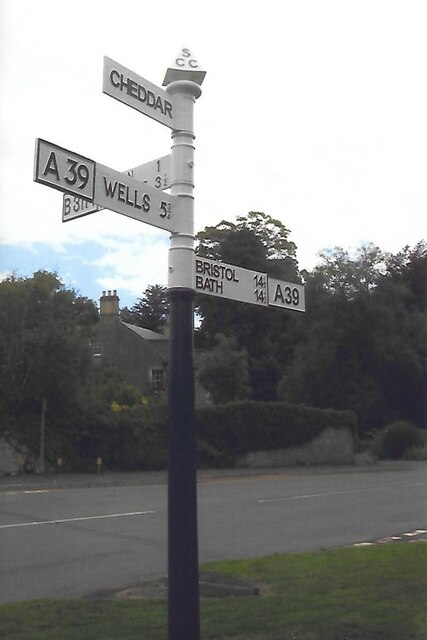
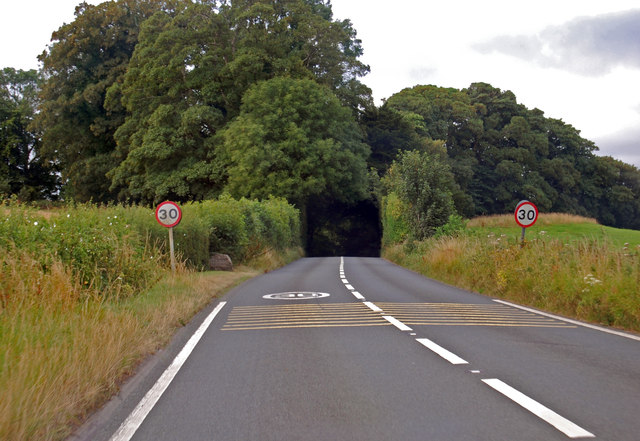
Cutler's Green Images

Images are sourced within 2km of 51.266119/-2.5767949 or Grid Reference ST5952. Thanks to Geograph Open Source API. All images are credited.

View from Redhill Lane near Emborough A view southwest from Redhill Lane, with wind turbines in the background.
The ground is iron rich, giving the red colour that Redhill Lane is named for.
View from Redhill Lane near Emborough
A view southwest from Redhill Lane, with wind turbines in the background. The ground is iron rich, giving the red colour that Redhill Lane is named for.
Lechmere Water A private fishing lake near Emborough, with the old boat house on the far shore. Its size has been reduced slightly from the nineteenth century.
Lechmere Water
A private fishing lake near Emborough, with the old boat house on the far shore. Its size has been reduced slightly from the nineteenth century.
Lechmere Water track Access to the lake is a muddy track.
Lechmere Water track
Access to the lake is a muddy track.
Emborough signpost At the junction of the B3139 and B3114 is a particularly rusty signpost, save the Emborough arm.
Emborough signpost
At the junction of the B3139 and B3114 is a particularly rusty signpost, save the Emborough arm.
An old barrow in the field This bowl barrow north of the B3139 is one of a few in the area. It is about 30m (98 ft) in diameter, 1.8m (6ft) high and has traces of a surrounding ditch. A scheduled monument, it may be from as early as the Neolithic period. See <a href="https://www.geograph.org.uk/photo/7146054">ST6050 : Trees on a tumulus</a> for another south of here.
An old barrow in the field
This bowl barrow north of the B3139 is one of a few in the area. It is about 30m (98 ft) in diameter, 1.8m (6ft) high and has traces of a surrounding ditch. A scheduled monument, it may be from as early as the Neolithic period. See ST6050 : Trees on a tumulus for another south of here.
Crashed and broken in half February's storms claim another victim.
Crashed and broken in half
February's storms claim another victim.
Stopping entry into Emborough Grove To the left of the road is a steep, wooded slope to the grove and the waters that supply Lechmere Water. A milepost stands on the near side of the barrier - see <a href="https://www.geograph.org.uk/photo/7146028">ST6050 : Milepost on the B3139</a>.
Stopping entry into Emborough Grove
To the left of the road is a steep, wooded slope to the grove and the waters that supply Lechmere Water. A milepost stands on the near side of the barrier - see ST6050 : Milepost on the B3139.
Milepost on the B3139 Leaning slightly but in fair condition, seeing as it's the wrong side of the barrier for safety. A marker of some sort has stood here for well over a century. See <a href="https://www.geograph.org.uk/photo/7146026">ST6050 : Stopping entry into Emborough Grove</a> for a wider view.
Milepost on the B3139
Leaning slightly but in fair condition, seeing as it's the wrong side of the barrier for safety. A marker of some sort has stood here for well over a century. See ST6050 : Stopping entry into Emborough Grove for a wider view.
Gas and green energy A gas pipeline marker with a more sympathetic source in the background.
Gas and green energy
A gas pipeline marker with a more sympathetic source in the background.
Losing the boundary marker A metal boundary marker is bein pulled into the undergrowth. The old Rural District boundary passes briefly through this part of Redhill Lane.
Losing the boundary marker
A metal boundary marker is bein pulled into the undergrowth. The old Rural District boundary passes briefly through this part of Redhill Lane.
Getting to the Emborough road The footpath crosses a field and this drainage ditch before reaching the main road. Fortunately, the barbed wire is sheathed at the appropriate point and the footstep is cleared of fence wire; it's not that accessible despite that.
Getting to the Emborough road
The footpath crosses a field and this drainage ditch before reaching the main road. Fortunately, the barbed wire is sheathed at the appropriate point and the footstep is cleared of fence wire; it's not that accessible despite that.
Trees on a tumulus One of a number in the area, this bowl barrow is close to Emborough and is possibly believed to date back to the Bronze Age. It is about 32m in diameter and 2.5m high, with evidence of a berm surrounding it. The trees have shielded the outline somewhat. See <a href="https://www.geograph.org.uk/photo/7146021">ST6050 : An old barrow in the field</a> for another barrow north of this one.
Trees on a tumulus
One of a number in the area, this bowl barrow is close to Emborough and is possibly believed to date back to the Bronze Age. It is about 32m in diameter and 2.5m high, with evidence of a berm surrounding it. The trees have shielded the outline somewhat. See ST6050 : An old barrow in the field for another barrow north of this one.
Chewton Mendip : Bathway - A39 A road heading through Chewton Mendip.
Chewton Mendip : Bathway - A39
A road heading through Chewton Mendip.
Direction Sign – Signpost at Cutlers Green, Chewton Mendip Located on a grass triangle in the centre of the junction of the B3114 and Dudwell Lane at Cutlers Green, southeast of Bathway. Chewton Mendip parish. 3 arms, 1 missing, and pyramid finial.

Milestone Society National ID: SO_ST5952A
Direction Sign – Signpost at Cutlers Green, Chewton Mendip
Located on a grass triangle in the centre of the junction of the B3114 and Dudwell Lane at Cutlers Green, southeast of Bathway. Chewton Mendip parish. 3 arms, 1 missing, and pyramid finial. Milestone Society National ID: SO_ST5952A
Direction Sign – Signpost on the A39 in Chewton Mendip Located on the west side of the junction of the A39 High Street and B3114 Lower Street in Chewton Mendip parish. 4 arms and pyramid finial. Restored, repainted and the arms mounted in a different order compared to the 2013 photo, <a title="https://www.geograph.org.uk/photo/6043420" href="https://www.geograph.org.uk/photo/6043420">Link</a>. Google Street View shows it in place in 2011 and 2012, but not in 2009 and 2021.

Milestone Society National ID: SO_ST5953B
Direction Sign – Signpost on the A39 in Chewton Mendip
Located on the west side of the junction of the A39 High Street and B3114 Lower Street in Chewton Mendip parish. 4 arms and pyramid finial. Restored, repainted and the arms mounted in a different order compared to the 2013 photo, Link. Google Street View shows it in place in 2011 and 2012, but not in 2009 and 2021. Milestone Society National ID: SO_ST5953B
The church of the Blessed Virgin Mary, Emborough
A39 Approaching Chewton Mendip Entering the 30 MPH zone.
A39 Approaching Chewton Mendip
Entering the 30 MPH zone.
Show me another place!

Cutler's Green is located at Grid Ref: ST5952 (Lat: 51.266119, Lng: -2.5767949)

Administrative County: Somerset

District: Mendip

Police Authority: Avon and Somerset

What 3 Words

///meanings.passions.enough. Near Chilcompton, Somerset

Nearby Locations

Bathway Cutler's Green

Related Wikis

Chewton Mendip

Chewton Mendip is a village and civil parish in Somerset, England. It is situated 4 miles (6 km) north of Wells, 16 miles (26 km) south of Bath and Bristol...

Emborough

Emborough is a village and civil parish 5 miles (8.0 km) north of Shepton Mallet, and 5 miles (8.0 km) north east of Wells, in the Mendip district of Somerset...

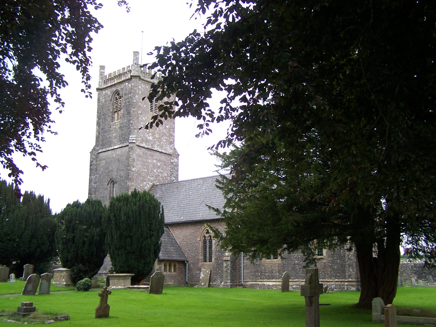
Church of the Blessed Virgin Mary, Emborough

The Church of the Blessed Virgin Mary in Emborough, Somerset, England is medieval in origin but underwent extensive renovation in the 18th century. It...

Litton, Somerset

Litton (grid reference ST593546) is a small village and civil parish between Chewton Mendip and West Harptree in the Mendip Hills, Somerset, England. The...

Ston Easton

Ston Easton is a linear village and civil parish in the English county of Somerset. It is 14 miles (23 km) southwest of Bath and 7 miles (11 km) north...

Church of St Mary the Virgin, Ston Easton

The Anglican Church of St Mary the Virgin in Ston Easton, Somerset, England, is a Grade II* listed building dating from the 11th century, with a 15th-century...

Emborough Quarries

Emborough Quarries (grid reference ST623505) is a 1 hectare (2.5 acre) geological Site of Special Scientific Interest at Emborough in the Mendip Hills...

Church of the Holy Trinity, Binegar

The Anglican Church of the Holy Trinity, Binegar, Somerset, England is Norman but has been rebuilt and restored several times since. It is a Grade II*...

Nearby Amenities

Located within 500m of 51.266119,-2.5767949
Cutler's Green
Place: hamlet
Source: NPE
Lat/Long: 51.2661241/-2.5756286
Power: pole
Lat/Long: 51.2655543/-2.5835281
Power: pole
Lat/Long: 51.2661115/-2.5823163
Power: pole
Lat/Long: 51.2671934/-2.5801541
Power: pole
Lat/Long: 51.2677506/-2.5789913
Power: pole
Lat/Long: 51.2683043/-2.5779538
Power: pole
Lat/Long: 51.2693346/-2.5755322
Power: pole
Lat/Long: 51.269932/-2.5739309
Post Box
Operator: Royal Mail
Post Box Type: wall
Ref: BA3 53
Royal Cypher: EIIR
Lat/Long: 51.2660676/-2.5770356
The data included in this document is from www.openstreetmap.org. The data is made available under ODbL.

Have you been to Cutler's Green?

Leave your review of Cutler's Green below (or comments, questions and feedback).