Bathwick
Settlement in Somerset
England
Bathwick
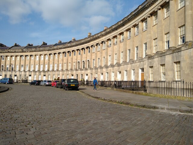
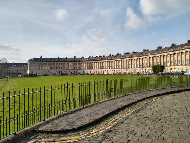
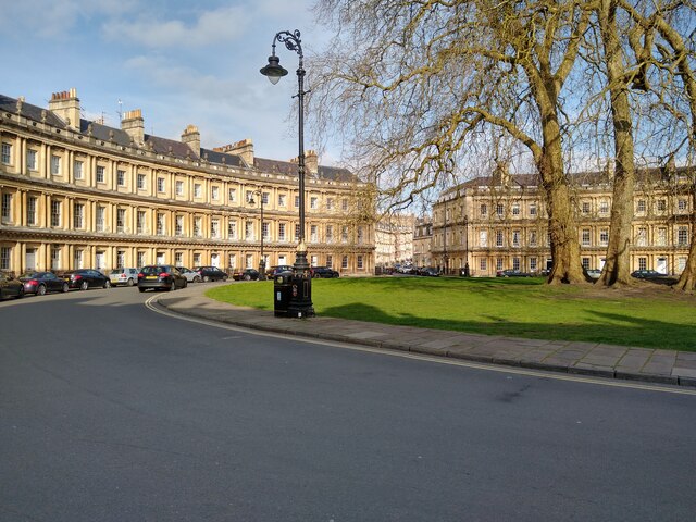
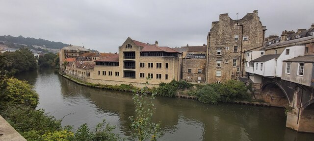
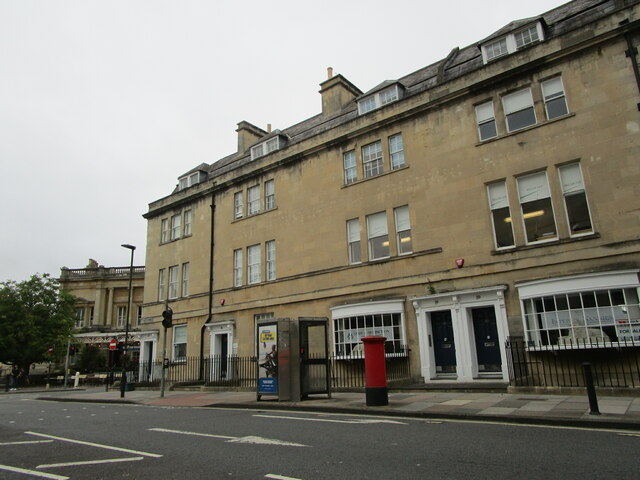
Bathwick is a picturesque village nestled in the county of Somerset, England. Located just east of the city of Bath, it enjoys a prime position along the banks of the River Avon. Known for its stunning Georgian architecture and rich history, Bathwick is a highly sought-after residential area.
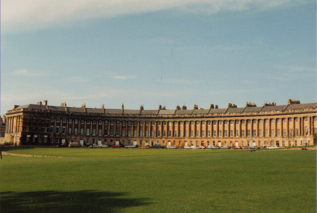
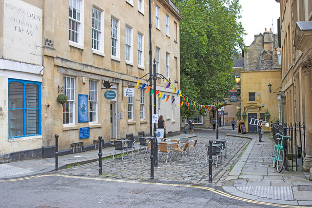
The village is home to many elegant townhouses, which were originally built as summer residences for the wealthy inhabitants of Bath. These properties still retain their grandeur and charm, boasting beautiful facades adorned with decorative elements. The streets of Bathwick are lined with mature trees, creating a tranquil and leafy atmosphere.
One of the highlights of Bathwick is the famous Bathwick Hill, which offers breathtaking views over the city of Bath and the surrounding countryside. It is a popular spot for walkers and hikers, providing a peaceful retreat from the bustling city below.
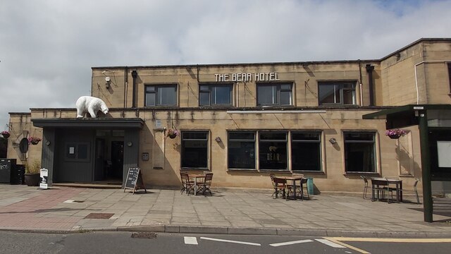
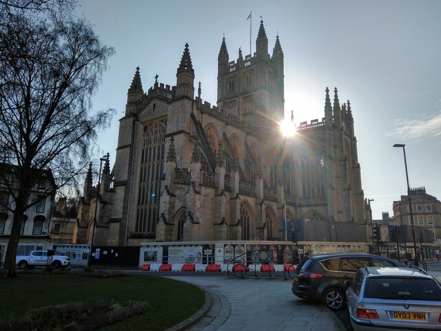
Bathwick also boasts easy access to a range of amenities. The nearby city of Bath offers a plethora of cultural attractions, including the iconic Roman Baths, Bath Abbey, and the Jane Austen Centre. Additionally, the village is well-served by local shops, cafes, and restaurants, ensuring residents have everything they need within easy reach.
With its idyllic location, stunning architecture, and close proximity to Bath, Bathwick offers a unique blend of natural beauty and urban convenience. It continues to be a highly desirable place to live, attracting residents who appreciate its historical charm and tranquil setting.
If you have any feedback on the listing, please let us know in the comments section below.
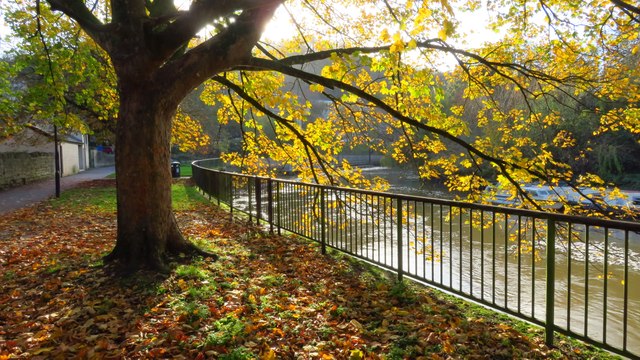
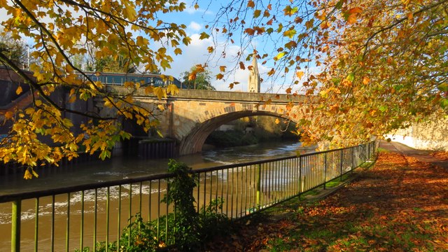
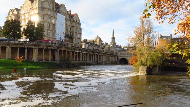
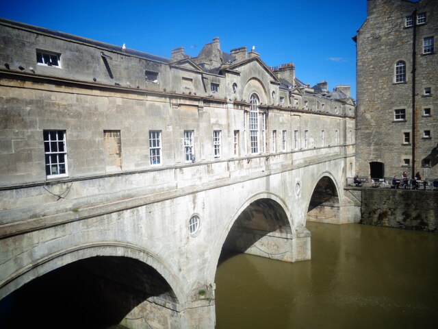
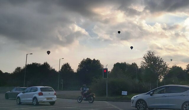
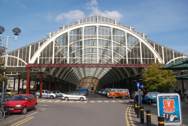
Bathwick Images
Images are sourced within 2km of 51.383928/-2.347866 or Grid Reference ST7565. Thanks to Geograph Open Source API. All images are credited.


Bathwick is located at Grid Ref: ST7565 (Lat: 51.383928, Lng: -2.347866)
Unitary Authority: Bath and North East Somerset
Police Authority: Avon and Somerset
What 3 Words
///erase.about.legend. Near Bath, Somerset
Related Wikis
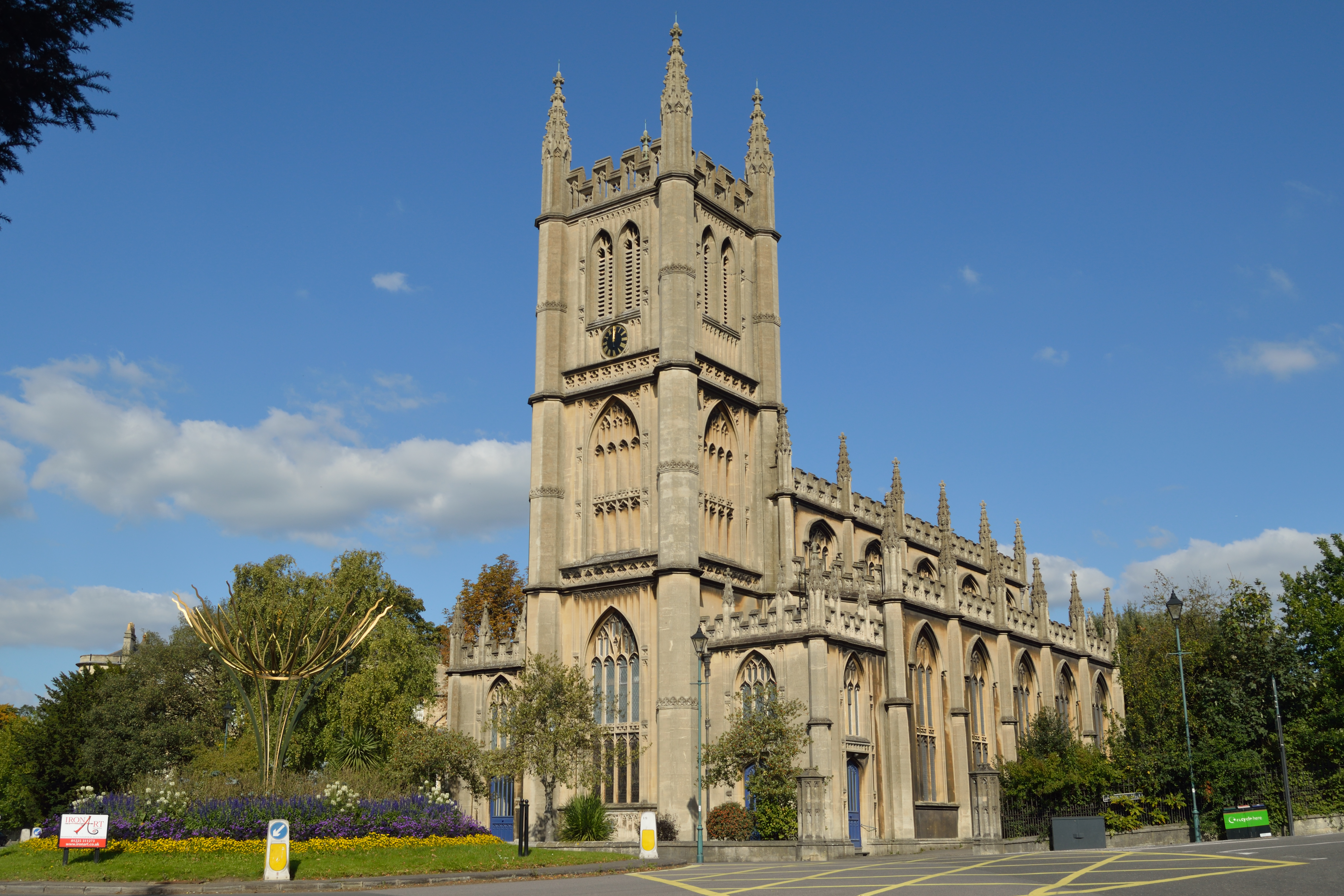
St Mary the Virgin's Church, Bathwick
The Church of St Mary the Virgin is located on Darlington Street in the Bathwick area of Bath, Somerset, England. The church is Anglican and located near...
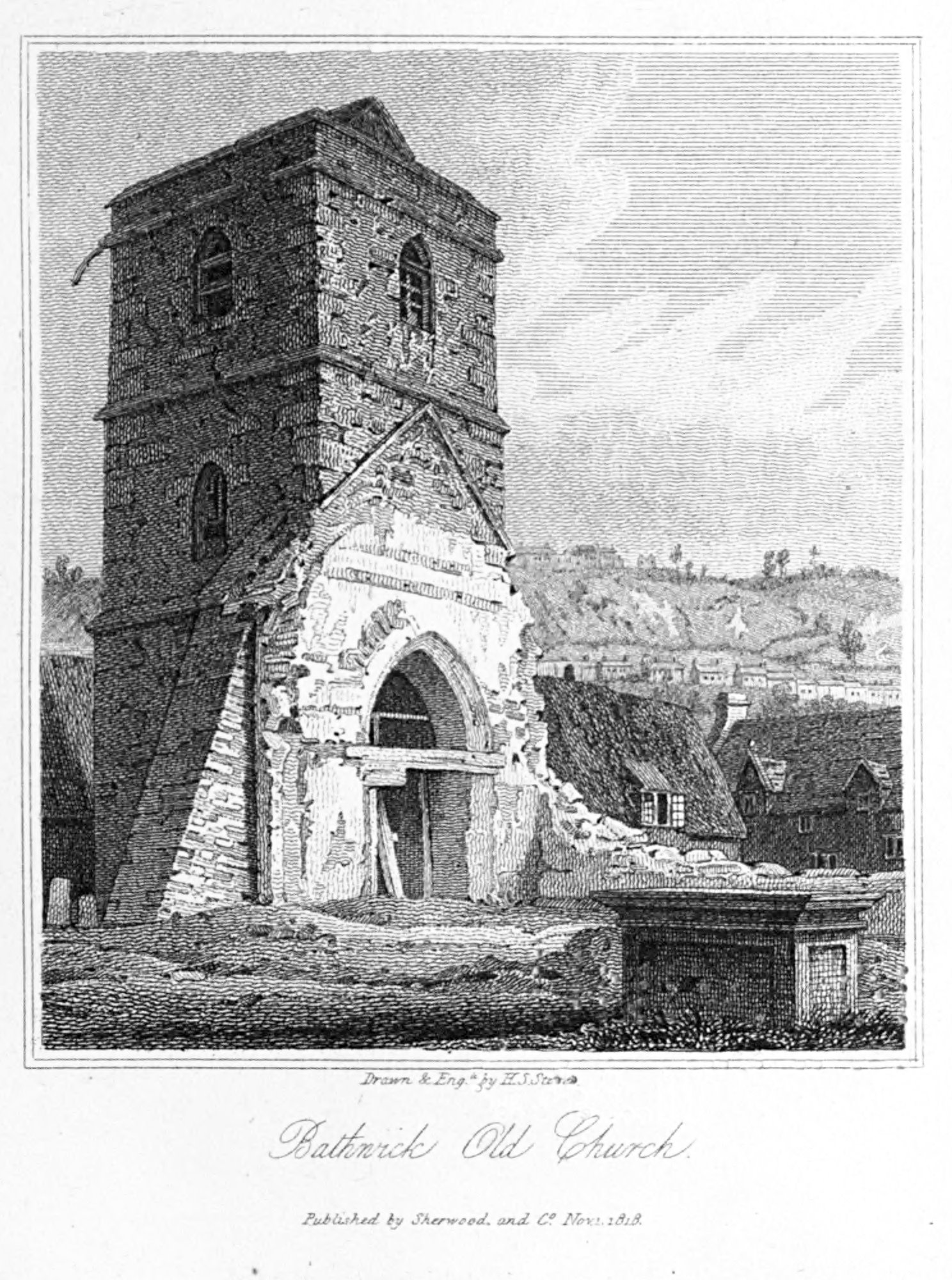
St Mary's Church, Bathwick
St Mary's Church, Bathwick (also called Bathwick Old Church) was a parish church in Bathwick in the city of Bath in England. The church was demolished...
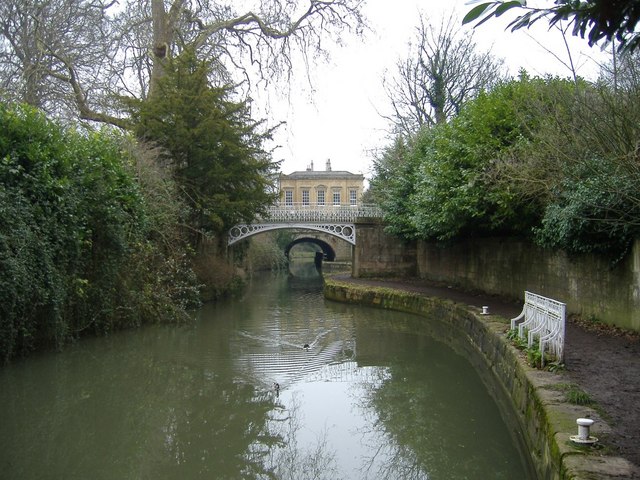
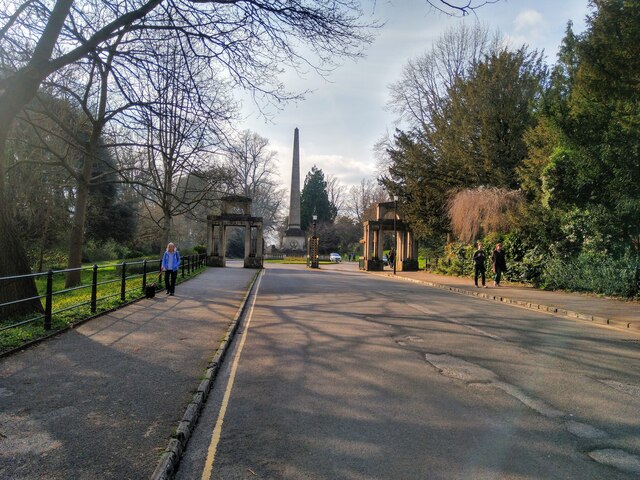
Sydney Gardens
Sydney Gardens (originally known as Bath Vauxhall Gardens) is a public open space at the end of Great Pulteney Street in Bath, Somerset, England. The gardens...
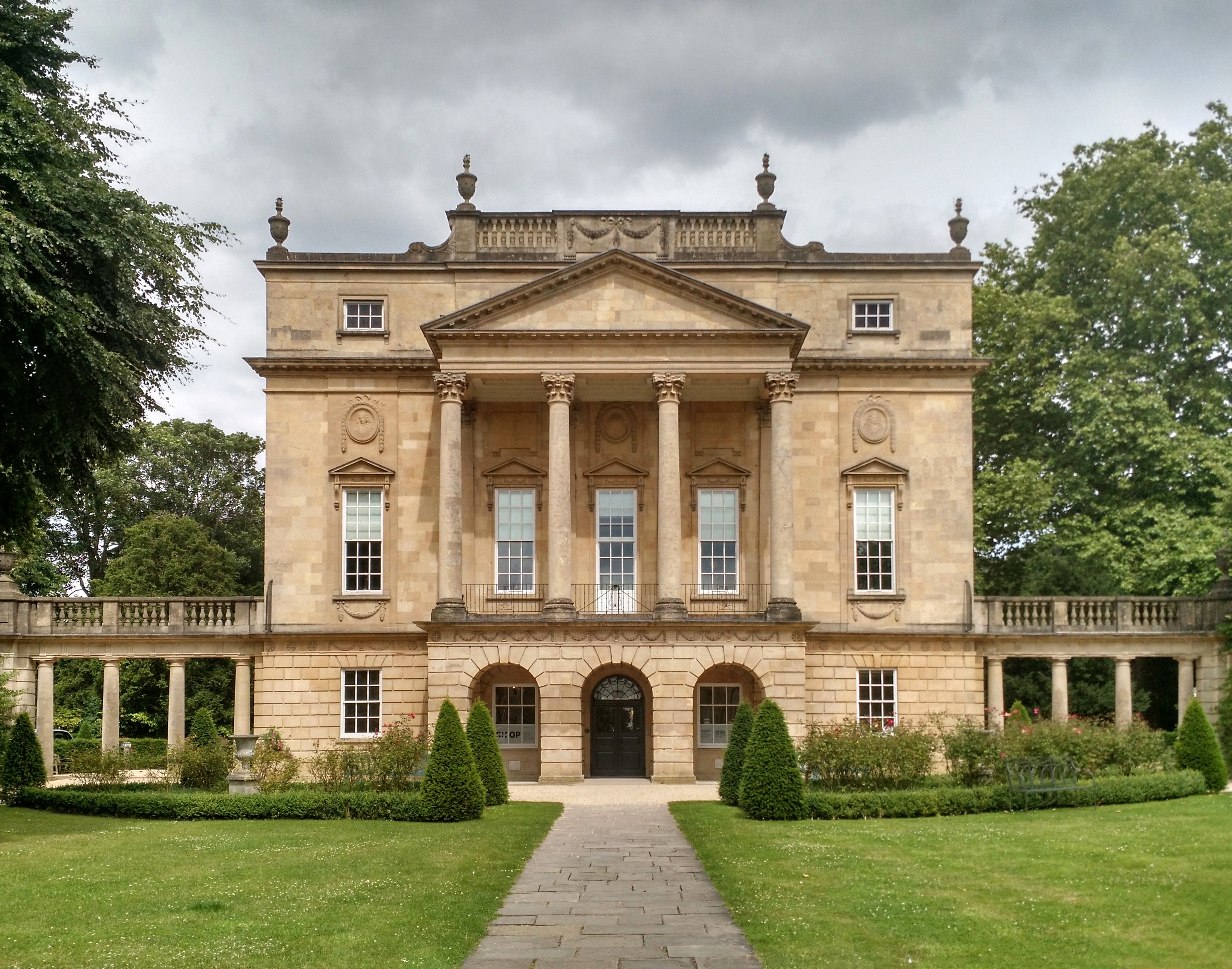
Holburne Museum
The Holburne Museum (formerly known as the Holburne of Menstrie Museum and the Holburne Museum of Art) is located in Sydney Pleasure Gardens, Bath, Somerset...
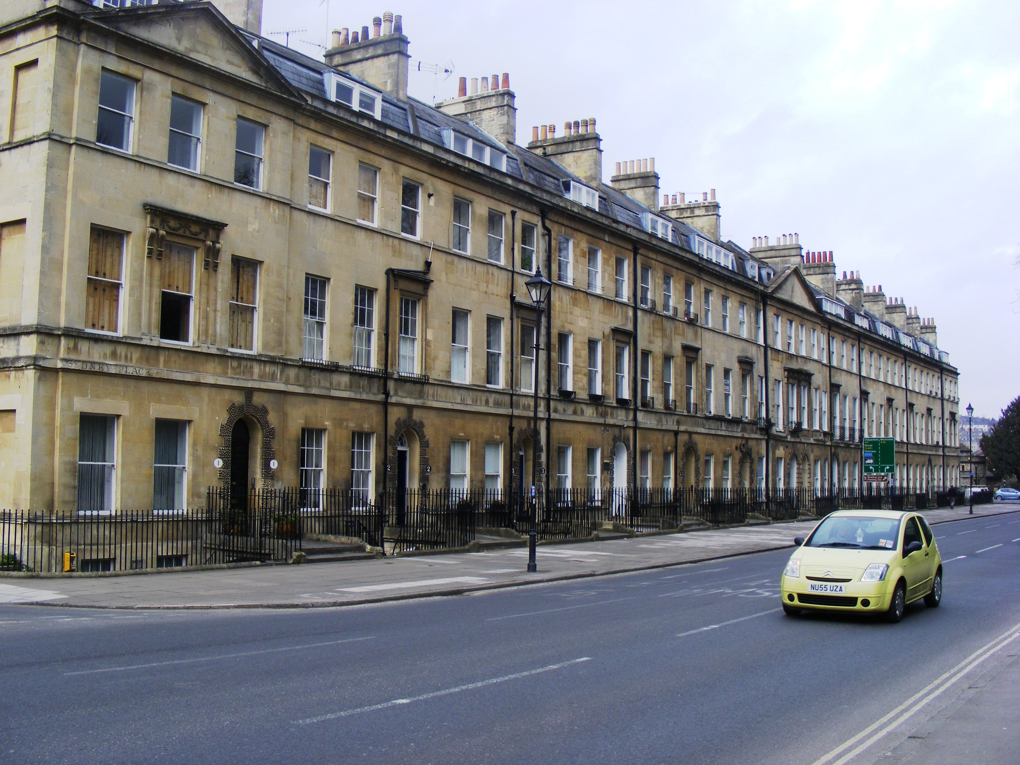
Sydney Place, Bath
Sydney Place in the Bathwick area of Bath, Somerset, England was built around 1800. Many of the properties are listed buildings.Numbers 1 to 12 were planned...

King Edward's School, Bath
King Edward's School (KES), Bath, Somerset, England is an independent co-educational day school providing education for 1,134 pupils aged 3 to 18. The...

Great Pulteney Street
Great Pulteney Street is a grand thoroughfare that connects Bathwick on the east of the River Avon with the City of Bath, England via the Robert Adam designed...
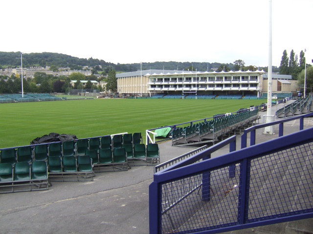
Recreation Ground, Bath
The Recreation Ground (commonly the Rec) is a large open space in the centre of Bath, England, next to the River Avon, which is available to be used by...
Nearby Amenities
Located within 500m of 51.383928,-2.347866Have you been to Bathwick?
Leave your review of Bathwick below (or comments, questions and feedback).