A' Chairidh
Beach in Argyllshire
Scotland
A' Chairidh
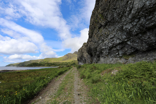
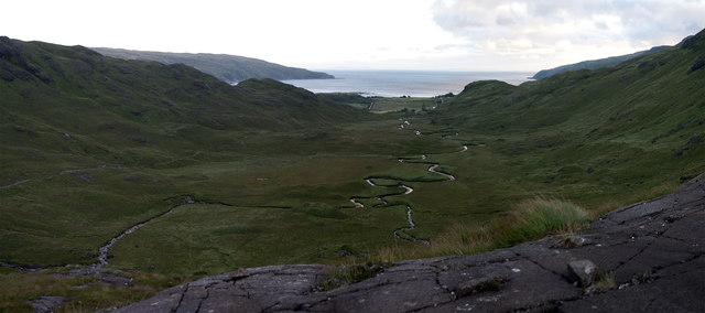
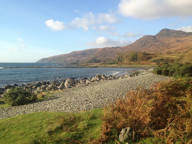
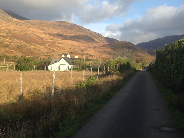
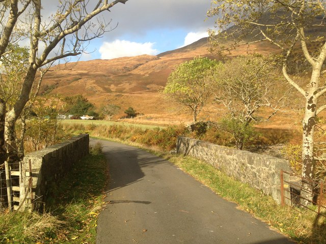
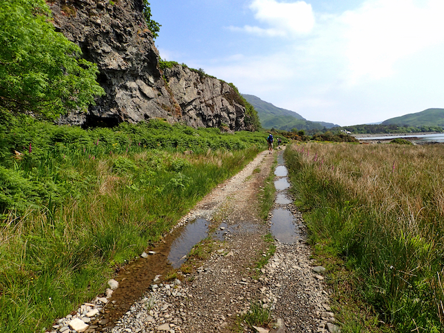
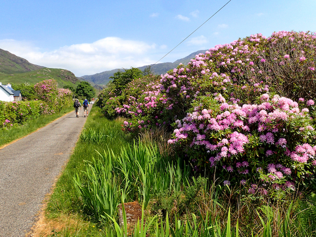
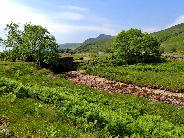
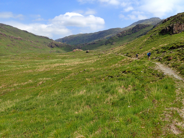
A' Chairidh, located in Argyllshire, Scotland, is a picturesque beach renowned for its natural beauty and tranquil ambience. Situated along the western coast of Scotland, this hidden gem offers visitors a unique and unforgettable experience. The beach is nestled within a small bay, surrounded by rugged cliffs and lush greenery, providing a stunning backdrop for relaxation and exploration.
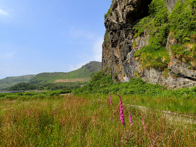
Stretching over a mile in length, A' Chairidh boasts pristine sandy shores that are perfect for long walks or simply basking in the sun. The crystal-clear waters are ideal for swimming, and during low tide, numerous rock pools emerge, offering opportunities for curious beachgoers to discover fascinating marine life.
The beach is relatively secluded, providing a sense of tranquility and privacy. Visitors can escape the hustle and bustle of everyday life and immerse themselves in the serene atmosphere. The absence of commercial development enhances the beach's natural charm and allows visitors to connect with nature in its purest form.
A' Chairidh is also a haven for wildlife enthusiasts. The surrounding cliffs and dunes are home to a variety of bird species, including gannets, puffins, and terns. Nature lovers can enjoy birdwatching or observe seals basking on the nearby rocks.
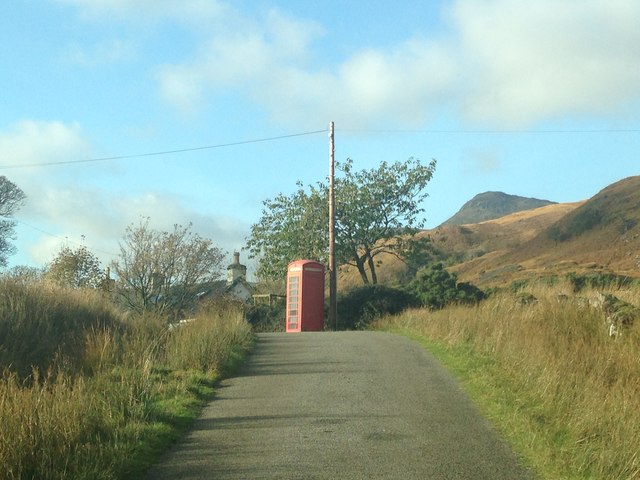
Access to A' Chairidh is relatively straightforward, with a small parking area available nearby. It is recommended to check the tide times before visiting to ensure the best experience. Whether visitors are seeking a peaceful retreat or an opportunity to explore Scotland's natural wonders, A' Chairidh is a must-visit destination that promises to leave a lasting impression.
If you have any feedback on the listing, please let us know in the comments section below.
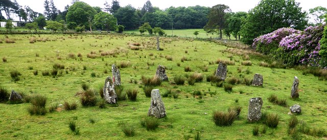
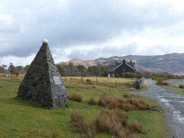
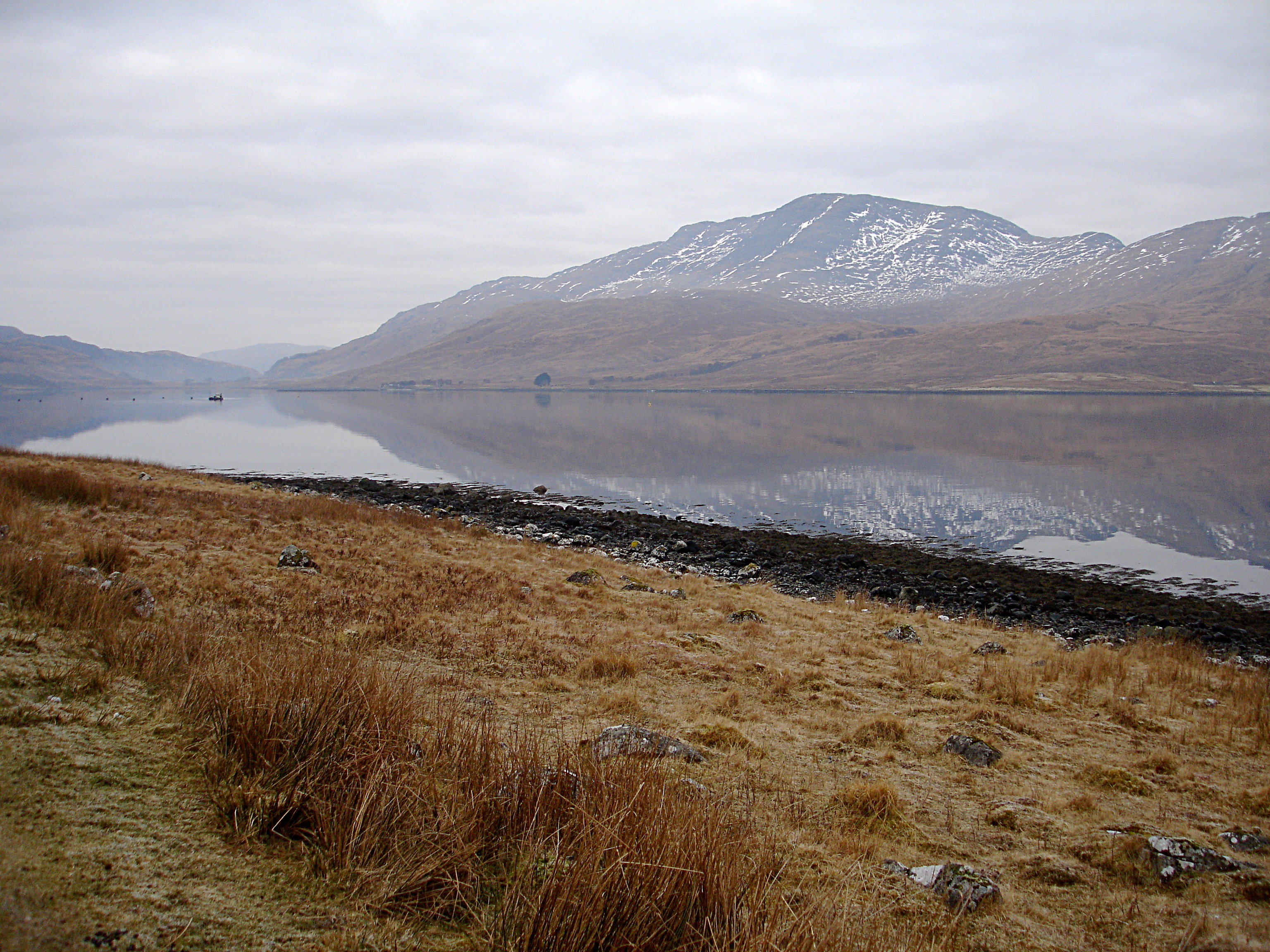
A' Chairidh Images
Images are sourced within 2km of 56.353774/-5.8621086 or Grid Reference NM6124. Thanks to Geograph Open Source API. All images are credited.
A' Chairidh is located at Grid Ref: NM6124 (Lat: 56.353774, Lng: -5.8621086)
Unitary Authority: Argyll and Bute
Police Authority: Argyll and West Dunbartonshire
What 3 Words
///decanter.thinks.octopus. Near Lochbuie, Argyll & Bute
Related Wikis

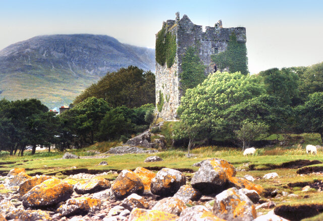
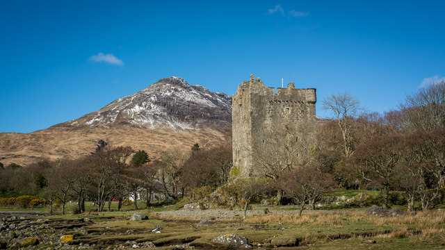
Moy Castle
Moy Castle is a ruined castle near Lochbuie on the Isle of Mull, Scotland. The site is now a scheduled monument. == History == The land upon which Moy...

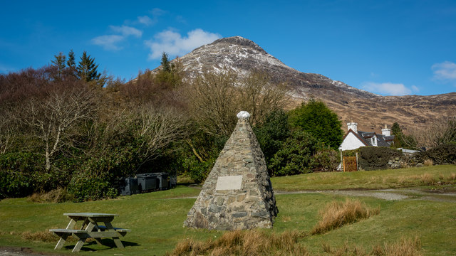
Lochbuie, Mull
Lochbuie (Scottish Gaelic: Locha Buidhe, meaning "yellow loch") is a settlement on the Isle of Mull in Scotland about 22 kilometres (14 mi) west of Craignure...

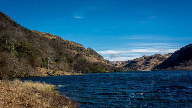
Loch Buie
Loch Buie (Scottish Gaelic: Locha Buidhe, meaning "yellow loch") is a sea loch on the south coast of the Isle of Mull, off the west coast of Scotland....

Ben Buie
Ben Buie (717 m) is a mountain in the south of the Isle of Mull, Scotland. A rocky mountain, it has steep and rugged slopes, especially on its eastern...
Creach-Beinn (Mull)
Creach-Beinn (698 m) is a mountain in the south of the Isle of Mull, Scotland. It rises above the northern shore of Loch Spelve. A rocky mountain with...

Firth of Lorn
The Firth of Lorn or Lorne (Scottish Gaelic: An Linne Latharnach) is the inlet of the sea between the south-east coast of the Isle of Mull and the mainland...

Carsaig Bay
Carsaig Bay is a cove on the Ross of Mull in the south of the Isle of Mull, off the west coast of Scotland. It is situated 5 kilometres (3 miles) eastward...
Loch Spelve
Loch Spelve is a sea loch on the southeast coast of the Isle of Mull, off the west coast of Scotland. It is almost landlocked with a relatively narrow...
Nearby Amenities
Located within 500m of 56.353774,-5.8621086Have you been to A' Chairidh?
Leave your review of A' Chairidh below (or comments, questions and feedback).