Cnoc Taigh Nic Ruairidh
Hill, Mountain in Argyllshire
Scotland
Cnoc Taigh Nic Ruairidh
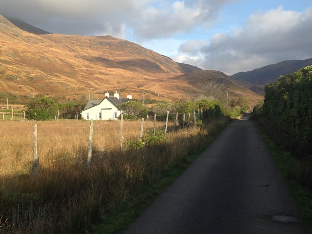
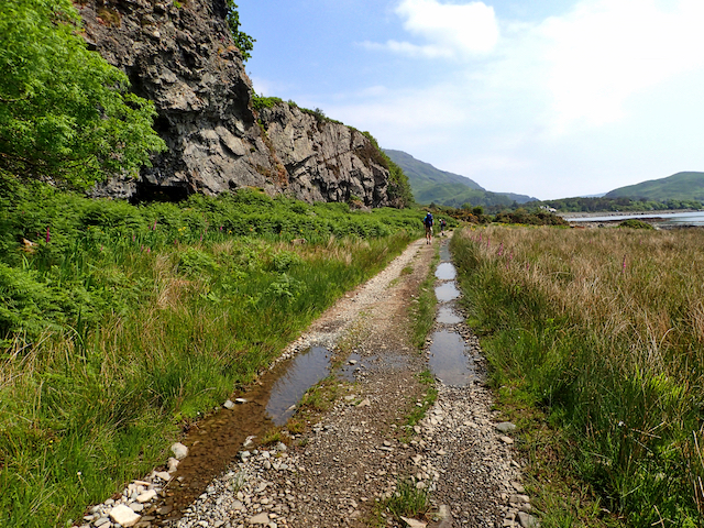
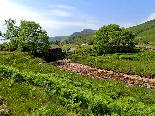
Cnoc Taigh Nic Ruairidh, also known as Cnoc Taigh na Creige, is a hill located in Argyllshire, Scotland. Situated in the western part of the country, it lies within the Loch Linnhe area and offers stunning views of the surrounding landscape.
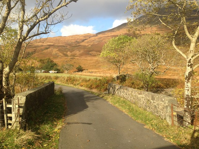
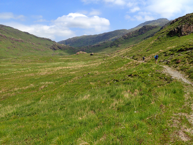
Standing at an elevation of approximately 550 meters (1800 feet), Cnoc Taigh Nic Ruairidh is not considered a particularly high peak. However, its strategic location provides excellent panoramic vistas of the nearby mountains and lochs. On clear days, visitors can enjoy sweeping views of Loch Linnhe, Loch Creran, and even the distant Isle of Mull.
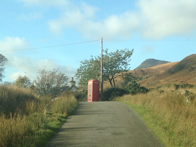
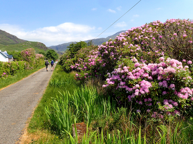
The hill is covered in heather and grass, typical of the Scottish Highlands, giving it a picturesque appearance. It is a popular destination for hikers and nature enthusiasts due to its accessibility and breathtaking scenery. There are various walking routes available, ranging from easy to moderate, allowing visitors to explore the hill at their own pace.
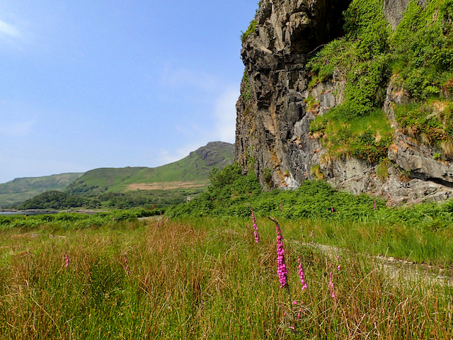
Wildlife is abundant in the area surrounding Cnoc Taigh Nic Ruairidh, with sightings of red deer, golden eagles, and other bird species being common. Nature lovers can also spot wildflowers, such as foxgloves and bluebells, during the spring and summer months.
Cnoc Taigh Nic Ruairidh is a place where visitors can immerse themselves in the beauty of the Scottish Highlands, experiencing the tranquility and grandeur of the region. Whether it's for a leisurely stroll or a more challenging hike, this hill offers a rewarding experience for all who venture to its summit.
If you have any feedback on the listing, please let us know in the comments section below.
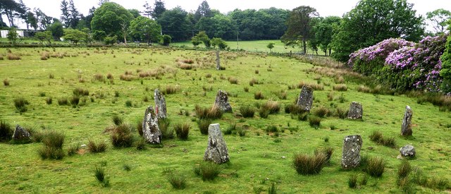
Cnoc Taigh Nic Ruairidh Images
Images are sourced within 2km of 56.35692/-5.8627348 or Grid Reference NM6124. Thanks to Geograph Open Source API. All images are credited.

Cnoc Taigh Nic Ruairidh is located at Grid Ref: NM6124 (Lat: 56.35692, Lng: -5.8627348)
Unitary Authority: Argyll and Bute
Police Authority: Argyll and West Dunbartonshire
What 3 Words
///movements.cardinal.stud. Near Lochbuie, Argyll & Bute
Related Wikis

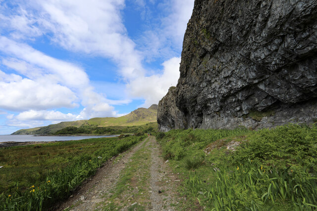
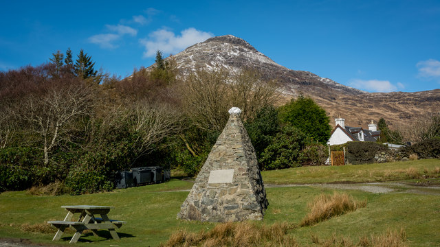
Lochbuie, Mull
Lochbuie (Scottish Gaelic: Locha Buidhe, meaning "yellow loch") is a settlement on the Isle of Mull in Scotland about 22 kilometres (14 mi) west of Craignure...

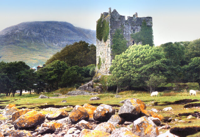
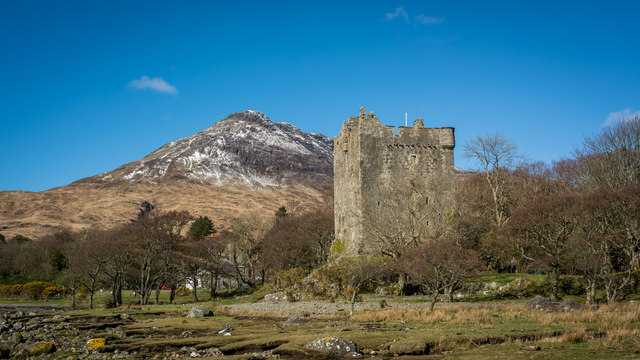
Moy Castle
Moy Castle is a ruined castle near Lochbuie on the Isle of Mull, Scotland. The site is now a scheduled monument. == History == The land upon which Moy...

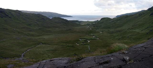
Ben Buie
Ben Buie (717 m) is a mountain in the south of the Isle of Mull, Scotland. A rocky mountain, it has steep and rugged slopes, especially on its eastern...

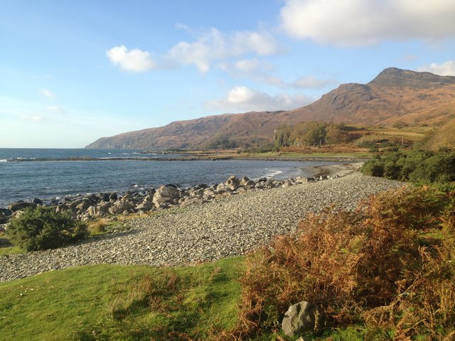
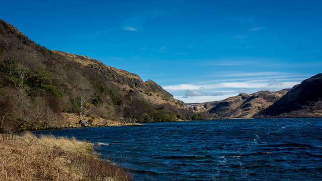
Loch Buie
Loch Buie (Scottish Gaelic: Locha Buidhe, meaning "yellow loch") is a sea loch on the south coast of the Isle of Mull, off the west coast of Scotland....
Nearby Amenities
Located within 500m of 56.35692,-5.8627348Have you been to Cnoc Taigh Nic Ruairidh?
Leave your review of Cnoc Taigh Nic Ruairidh below (or comments, questions and feedback).