Eilean Mòr
Island in Argyllshire
Scotland
Eilean Mòr
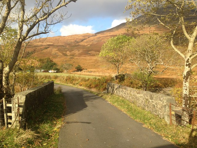
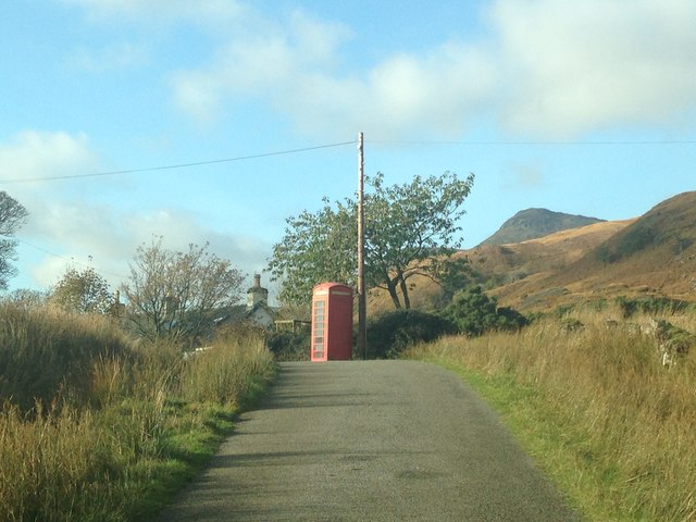
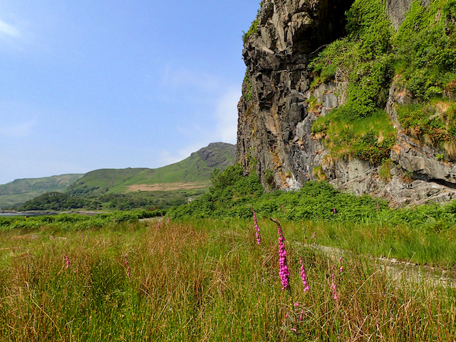
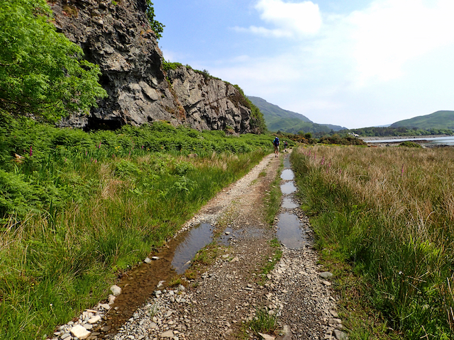
Eilean Mòr, also known as Eilean Mòr of the Flannan Isles, is a small uninhabited island located in the Outer Hebrides of Scotland. Situated approximately 20 miles west of the Isle of Lewis, it is part of the Argyllshire county. The island is renowned for its dramatic cliffs and rugged landscape, providing a haven for various seabirds and wildlife.
Eilean Mòr gained notoriety in 1900 when three lighthouse keepers stationed on the island mysteriously disappeared without a trace. This event, known as the Flannan Isles Mystery, has captured the imagination of many over the years and remains unsolved to this day.
The island covers an area of around 39 acres and rises to a height of 89 meters at its highest point. Its coastline is characterized by towering cliffs, battered by the relentless Atlantic Ocean. The island is mainly composed of basaltic rock formations, with sparse vegetation covering the rugged terrain.
Access to Eilean Mòr is restricted due to its remote location and treacherous waters. Visitors may only visit by special permission or as part of organized tours. However, the island's historical significance and the allure of the unsolved mystery surrounding the lighthouse keepers' disappearance continue to attract interest from adventurers, historians, and those fascinated by the unexplained.
Overall, Eilean Mòr is a captivating and enigmatic island, offering a glimpse into Scotland's rich history and the mysteries that lie beneath its rugged exterior.
If you have any feedback on the listing, please let us know in the comments section below.
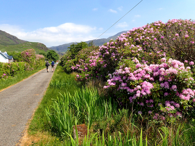
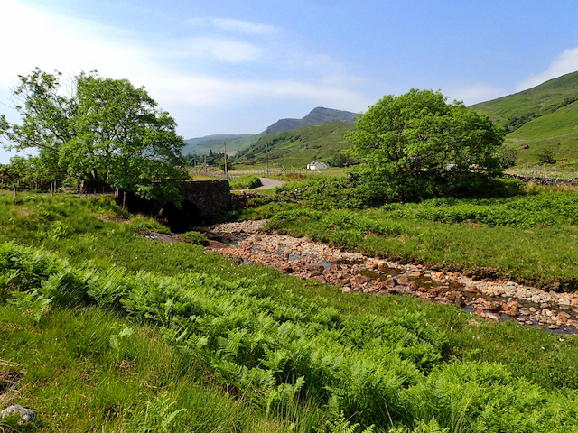
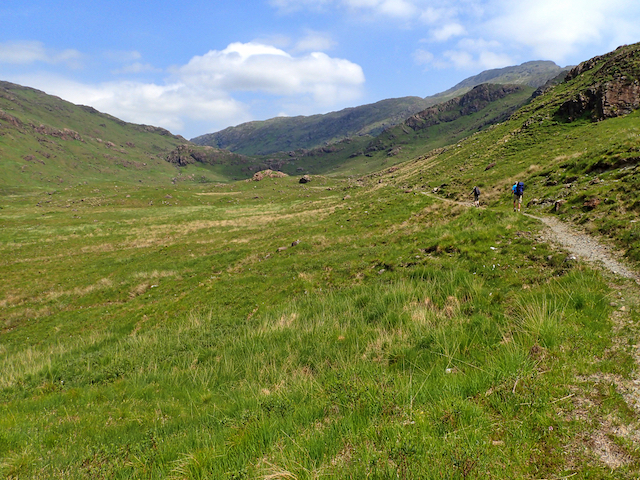
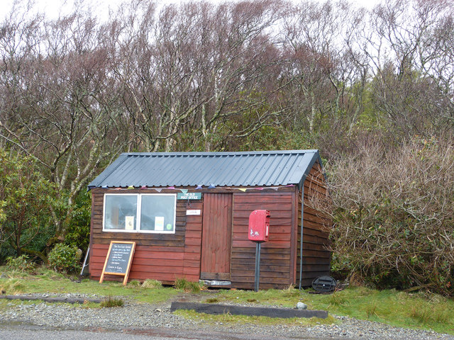
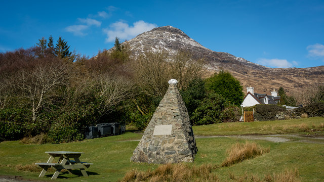
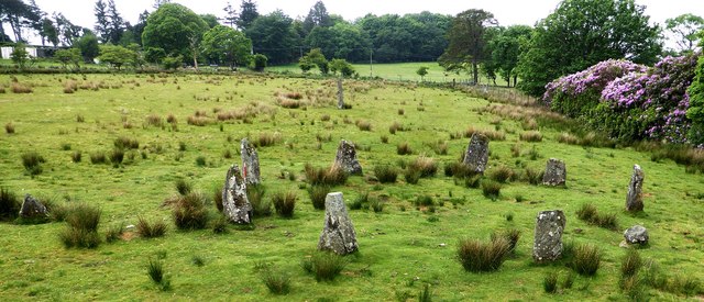
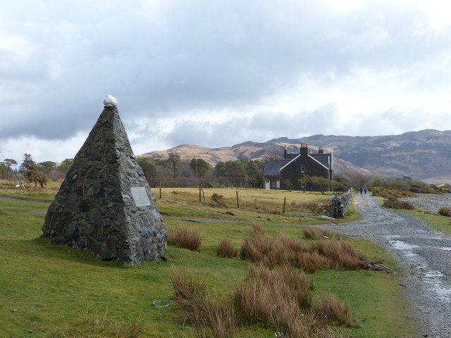
Eilean Mòr Images
Images are sourced within 2km of 56.351478/-5.8691153 or Grid Reference NM6124. Thanks to Geograph Open Source API. All images are credited.


Eilean Mòr is located at Grid Ref: NM6124 (Lat: 56.351478, Lng: -5.8691153)
Unitary Authority: Argyll and Bute
Police Authority: Argyll and West Dunbartonshire
What 3 Words
///food.slouched.marked. Near Lochbuie, Argyll & Bute
Related Wikis

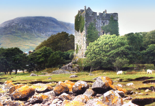
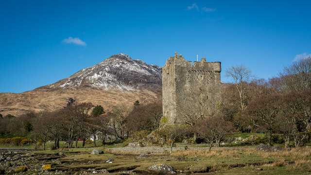
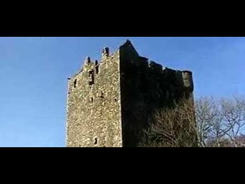
Moy Castle
Moy Castle is a ruined castle near Lochbuie on the Isle of Mull, Scotland. The site is now a scheduled monument. == History == The land upon which Moy...

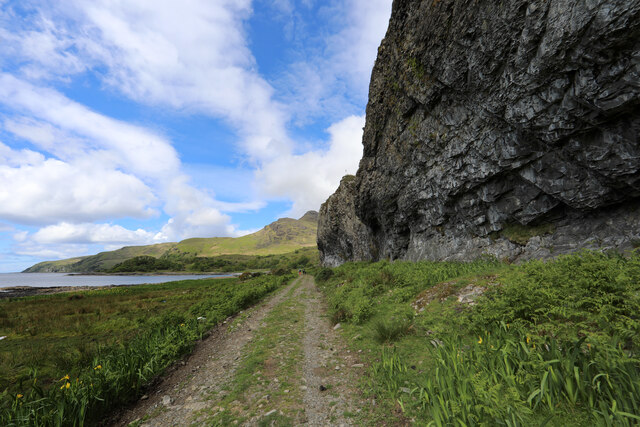
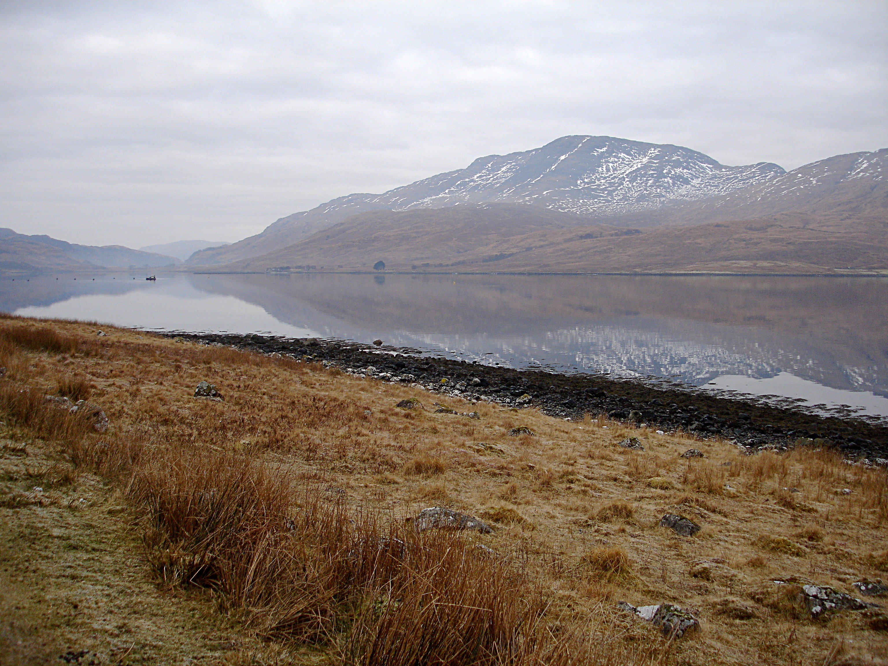
Lochbuie, Mull
Lochbuie (Scottish Gaelic: Locha Buidhe, meaning "yellow loch") is a settlement on the Isle of Mull in Scotland about 22 kilometres (14 mi) west of Craignure...

Loch Buie
Loch Buie (Scottish Gaelic: Locha Buidhe, meaning "yellow loch") is a sea loch on the south coast of the Isle of Mull, off the west coast of Scotland....

Ben Buie
Ben Buie (717 m) is a mountain in the south of the Isle of Mull, Scotland. A rocky mountain, it has steep and rugged slopes, especially on its eastern...
Creach-Beinn (Mull)
Creach-Beinn (698 m) is a mountain in the south of the Isle of Mull, Scotland. It rises above the northern shore of Loch Spelve. A rocky mountain with...

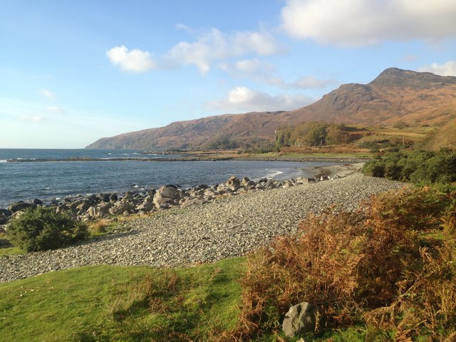
Carsaig Bay
Carsaig Bay is a cove on the Ross of Mull in the south of the Isle of Mull, off the west coast of Scotland. It is situated 5 kilometres (3 miles) eastward...

Firth of Lorn
The Firth of Lorn or Lorne (Scottish Gaelic: An Linne Latharnach) is the inlet of the sea between the south-east coast of the Isle of Mull and the mainland...

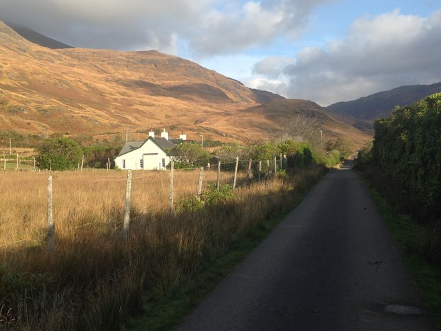
Pennyghael
Pennyghael (Scottish Gaelic: Peighinn nan Gàidheal) is a small village in the Ross of Mull, Argyll and Bute, Scotland. It is located along the A849 road...
Related Videos
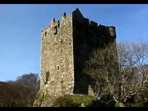
Moy Castle On Visit Near Lochbuie On The Isle Of Mull Scotland
Tour Scotland travel video, with Scottish music, of Moy Castle on ancestry visit near Lochbuie on the Isle Of Mull. The land upon ...

Clan Maclean Castle On History Visit By Lochbuie On The Isle Of Mull Inner Hebrides Scotland
Tour Scotland short travel video clip, with Scottish music, of Moy Castle on ancestry, genealogy, history visit by Lochbuie on the ...
Moy Castle With Music On History Visit Near Lochbuie On The Isle Of Mull Scotland
Tour Scotland 4K travel video, with Scottish music, of Moy Castle on ancestry visit near Lochbuie on the Isle Of Mull, Britain, ...
Travels to and from Humanist Marriage Ceremony on Mull
Travels to and from Humanist Marriage Ceremony on Mull.
Nearby Amenities
Located within 500m of 56.351478,-5.8691153Have you been to Eilean Mòr?
Leave your review of Eilean Mòr below (or comments, questions and feedback).