Port na Sgitheig
Sea, Estuary, Creek in Argyllshire
Scotland
Port na Sgitheig
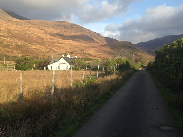
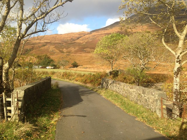
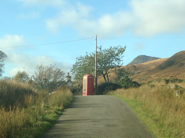
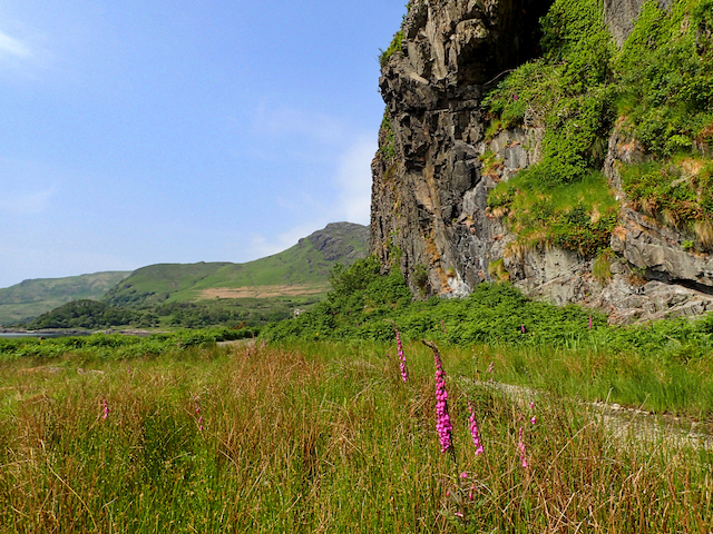
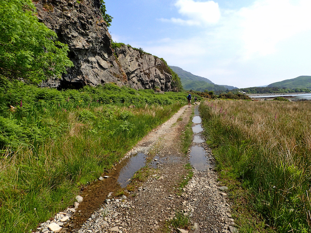
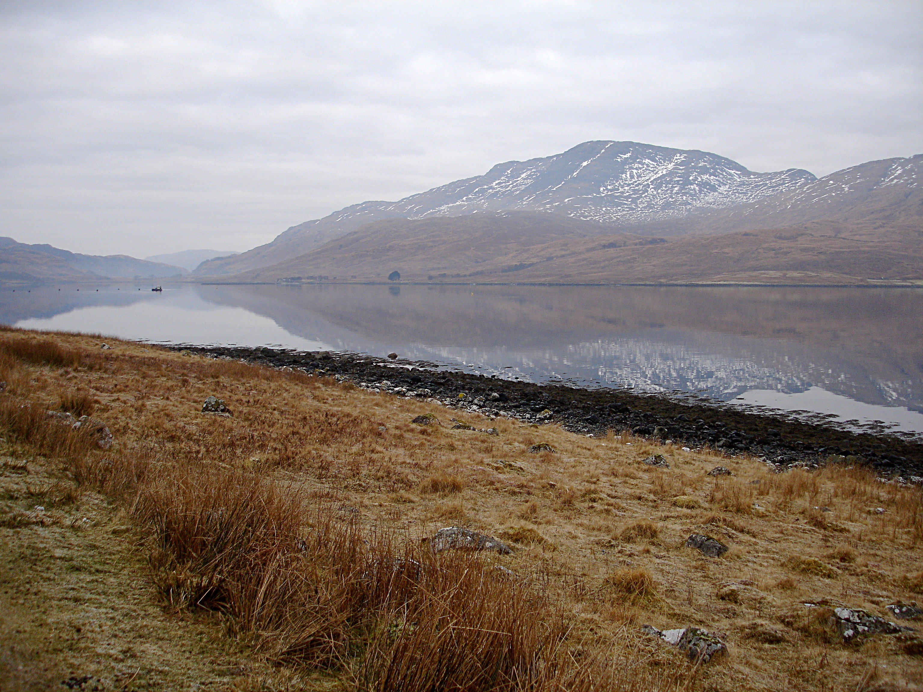
Port na Sgitheig is a picturesque coastal location situated in the Argyllshire region of Scotland. It is known for its stunning sea views, estuary, and creek, making it a popular destination for nature enthusiasts and tourists alike.
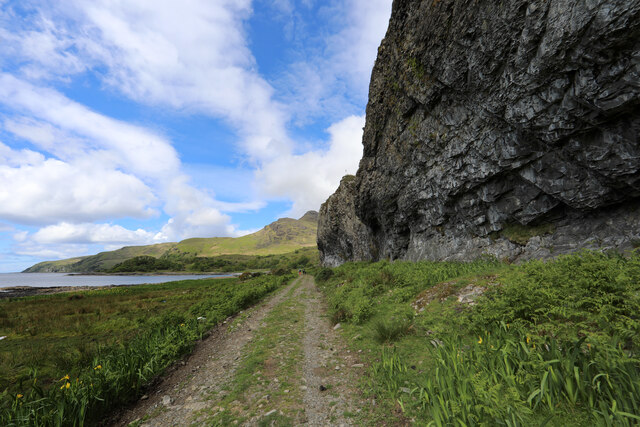
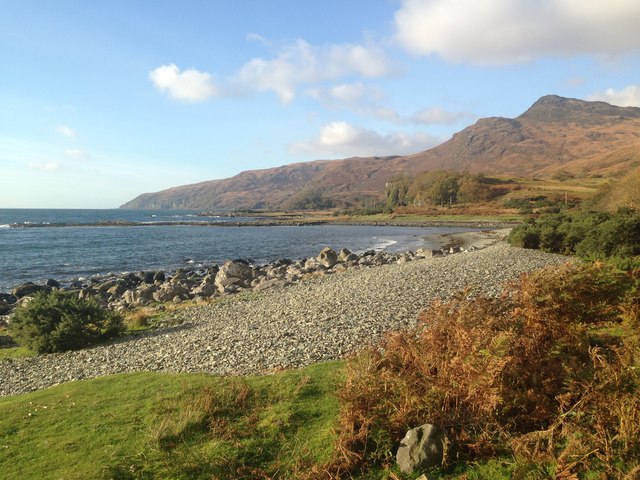
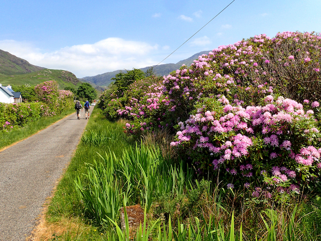
The port is nestled on the western coast of Scotland, offering breathtaking vistas of the Atlantic Ocean. The sea here is known for its crystal-clear waters and rich marine life, attracting divers and snorkelers who are keen to explore the underwater ecosystem. The coastline is also a haven for birdwatchers, with numerous seabirds frequenting the area, including gannets, puffins, and cormorants.
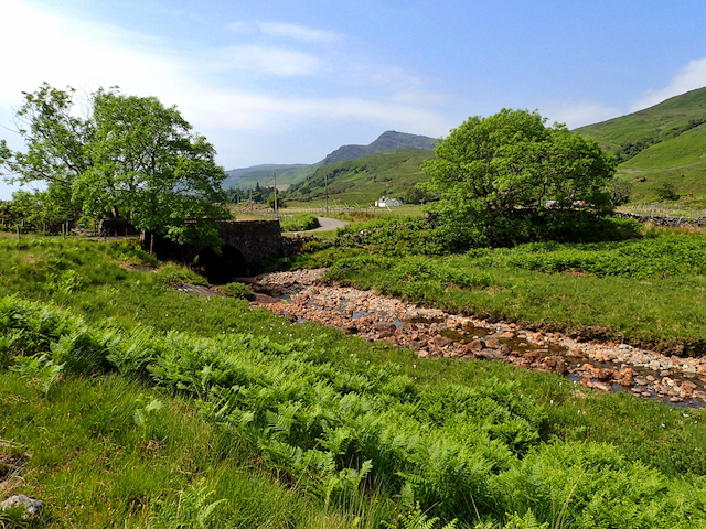
The port is also home to a beautiful estuary, where a river meets the sea. This estuary is a significant habitat for a variety of wildlife, including otters, seals, and a wide range of fish species. The estuary provides a tranquil environment for visitors to relax and enjoy the peacefulness of nature.
A creek flows through Port na Sgitheig, adding to its natural charm. The creek is surrounded by lush greenery and offers a serene setting for a leisurely stroll or a picnic. It is a perfect spot for families to spend quality time together while admiring the beauty of the surrounding landscape.
Overall, Port na Sgitheig in Argyllshire is a captivating coastal location that offers a diverse range of natural attractions. Whether you are interested in exploring the sea, observing wildlife in the estuary, or simply enjoying the serenity of the creek, this port has something to offer for everyone.
If you have any feedback on the listing, please let us know in the comments section below.
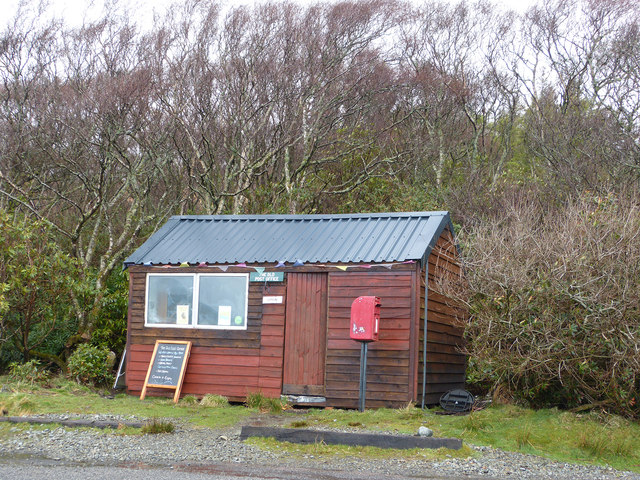
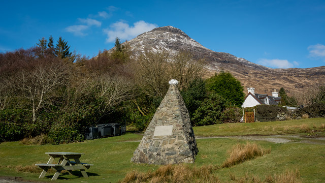
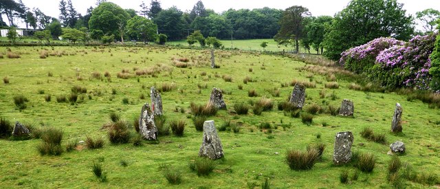
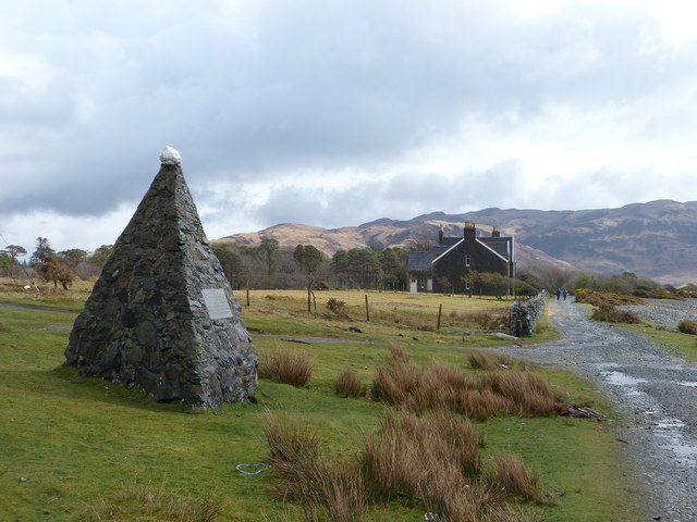
Port na Sgitheig Images
Images are sourced within 2km of 56.351186/-5.8657982 or Grid Reference NM6124. Thanks to Geograph Open Source API. All images are credited.


Port na Sgitheig is located at Grid Ref: NM6124 (Lat: 56.351186, Lng: -5.8657982)
Unitary Authority: Argyll and Bute
Police Authority: Argyll and West Dunbartonshire
What 3 Words
///intruding.holly.recording. Near Lochbuie, Argyll & Bute
Related Wikis

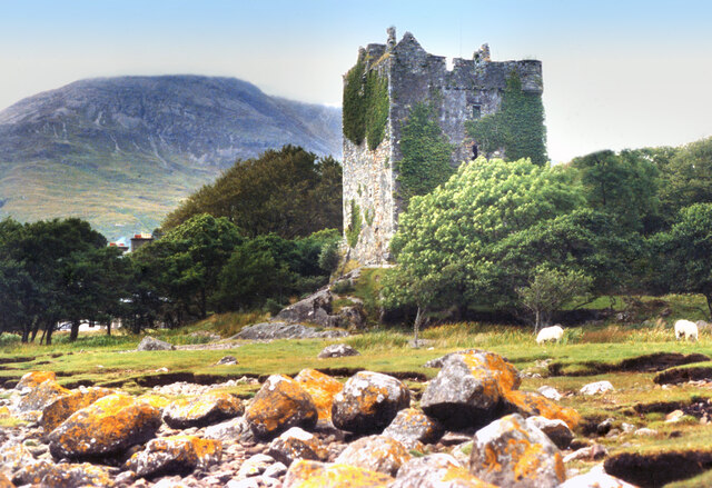
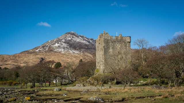
Moy Castle
Moy Castle is a ruined castle near Lochbuie on the Isle of Mull, Scotland. The site is now a scheduled monument. == History == The land upon which Moy...

Lochbuie, Mull
Lochbuie (Scottish Gaelic: Locha Buidhe, meaning "yellow loch") is a settlement on the Isle of Mull in Scotland about 22 kilometres (14 mi) west of Craignure...

Loch Buie
Loch Buie (Scottish Gaelic: Locha Buidhe, meaning "yellow loch") is a sea loch on the south coast of the Isle of Mull, off the west coast of Scotland....

Ben Buie
Ben Buie (717 m) is a mountain in the south of the Isle of Mull, Scotland. A rocky mountain, it has steep and rugged slopes, especially on its eastern...
Creach-Beinn (Mull)
Creach-Beinn (698 m) is a mountain in the south of the Isle of Mull, Scotland. It rises above the northern shore of Loch Spelve. A rocky mountain with...

Firth of Lorn
The Firth of Lorn or Lorne (Scottish Gaelic: An Linne Latharnach) is the inlet of the sea between the south-east coast of the Isle of Mull and the mainland...

Carsaig Bay
Carsaig Bay is a cove on the Ross of Mull in the south of the Isle of Mull, off the west coast of Scotland. It is situated 5 kilometres (3 miles) eastward...
Loch Spelve
Loch Spelve is a sea loch on the southeast coast of the Isle of Mull, off the west coast of Scotland. It is almost landlocked with a relatively narrow...
Related Videos
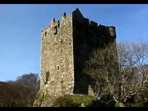
Moy Castle On Visit Near Lochbuie On The Isle Of Mull Scotland
Tour Scotland travel video, with Scottish music, of Moy Castle on ancestry visit near Lochbuie on the Isle Of Mull. The land upon ...

Clan Maclean Castle On History Visit By Lochbuie On The Isle Of Mull Inner Hebrides Scotland
Tour Scotland short travel video clip, with Scottish music, of Moy Castle on ancestry, genealogy, history visit by Lochbuie on the ...
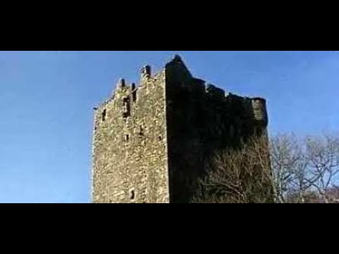
Moy Castle With Music On History Visit Near Lochbuie On The Isle Of Mull Scotland
Tour Scotland 4K travel video, with Scottish music, of Moy Castle on ancestry visit near Lochbuie on the Isle Of Mull, Britain, ...
Travels to and from Humanist Marriage Ceremony on Mull
Travels to and from Humanist Marriage Ceremony on Mull.
Nearby Amenities
Located within 500m of 56.351186,-5.8657982Have you been to Port na Sgitheig?
Leave your review of Port na Sgitheig below (or comments, questions and feedback).