Poll Bàrlaig
Coastal Marsh, Saltings in Argyllshire
Scotland
Poll Bàrlaig
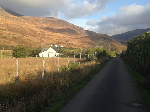
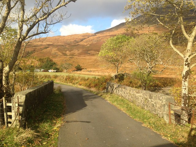
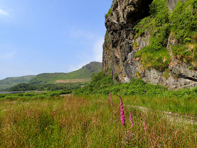
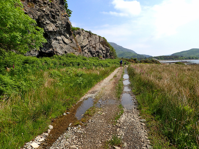
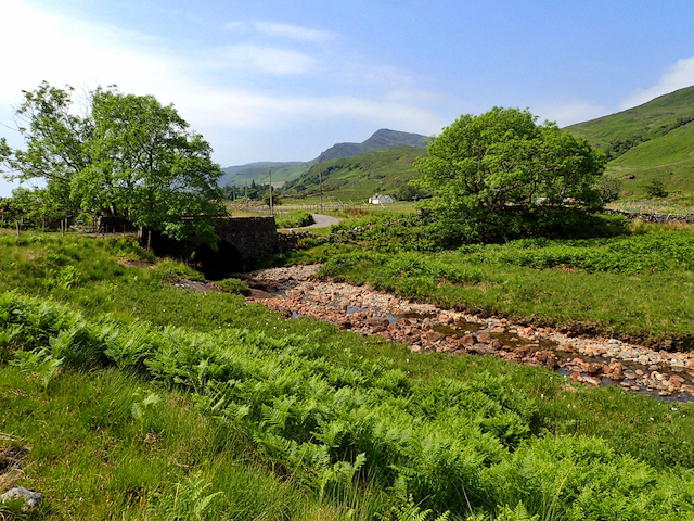
Poll Bàrlaig is a coastal marsh located in Argyllshire, Scotland. It is renowned for its stunning beauty and diverse ecological importance. Situated adjacent to the coast, it is primarily composed of saltmarshes or saltings, which are characterized by the presence of low-lying, regularly flooded areas of land.
The marshland is a haven for a wide variety of plant and animal species. The salinity of the water in the marsh supports the growth of specialized vegetation, such as salt-tolerant grasses, rushes, and sedges. These plants not only provide essential habitat for various bird species but also help stabilize the marshland and prevent erosion.
The diverse habitats of Poll Bàrlaig attract numerous bird species, making it a popular spot for birdwatchers. Migratory birds, including waders and waterfowl, visit the marsh during their annual journeys, while resident species like redshanks, curlews, and oystercatchers can be observed year-round.
The marshland also plays a crucial role in supporting the local ecosystem. It acts as a natural filter, purifying the water that flows from the land into the sea. Additionally, the marsh acts as a floodplain, absorbing excess water during high tides or storms, thereby reducing the risk of coastal flooding in nearby areas.
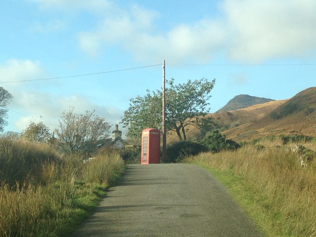
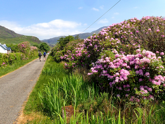
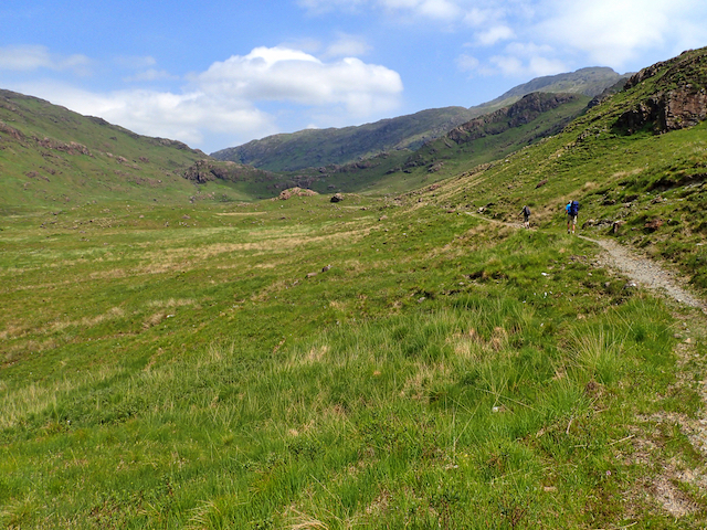
Poll Bàrlaig is a protected site due to its ecological significance. Conservation efforts are in place to preserve the delicate balance of this unique coastal marsh. Visitors can explore the area through designated walking trails and appreciate the beauty and importance of this coastal ecosystem.
If you have any feedback on the listing, please let us know in the comments section below.
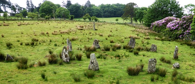
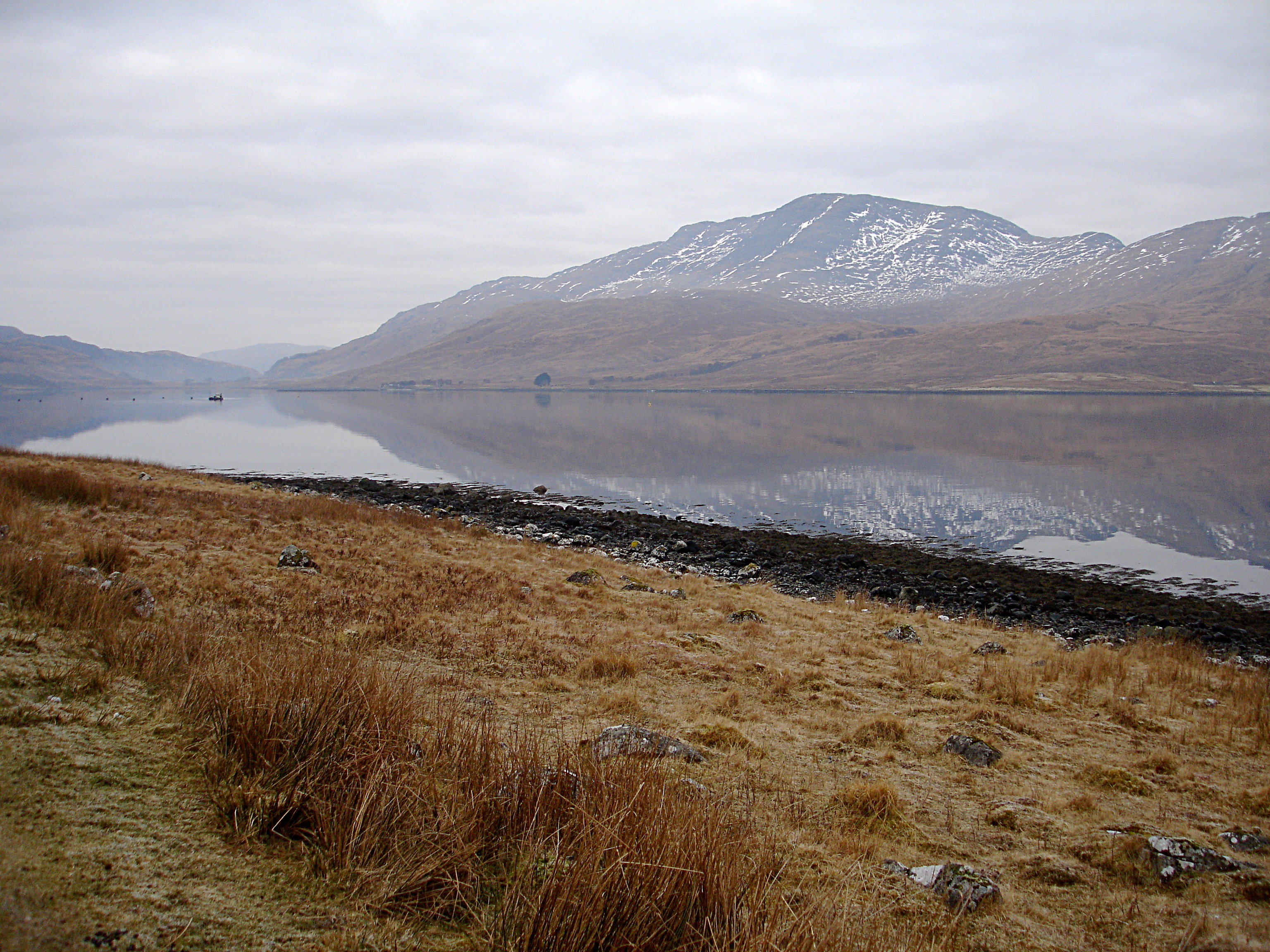
Poll Bàrlaig Images
Images are sourced within 2km of 56.353432/-5.8563569 or Grid Reference NM6124. Thanks to Geograph Open Source API. All images are credited.

Poll Bàrlaig is located at Grid Ref: NM6124 (Lat: 56.353432, Lng: -5.8563569)
Unitary Authority: Argyll and Bute
Police Authority: Argyll and West Dunbartonshire
What 3 Words
///amazed.raven.broth. Near Lochbuie, Argyll & Bute
Nearby Locations
Related Wikis

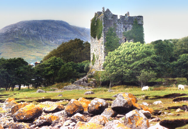
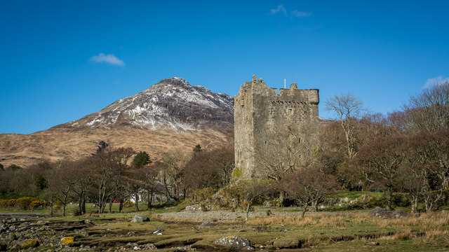
Moy Castle
Moy Castle is a ruined castle near Lochbuie on the Isle of Mull, Scotland. The site is now a scheduled monument. == History == The land upon which Moy...

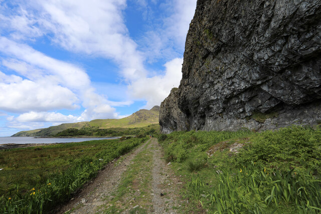
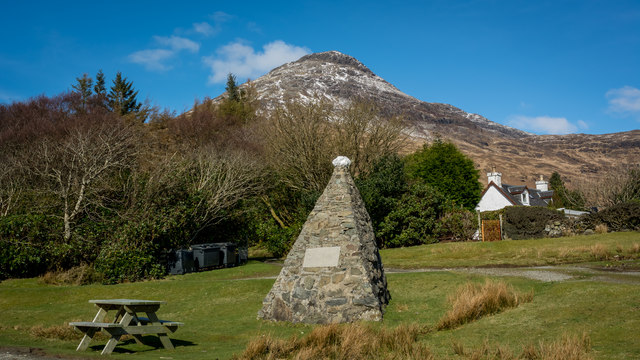
Lochbuie, Mull
Lochbuie (Scottish Gaelic: Locha Buidhe, meaning "yellow loch") is a settlement on the Isle of Mull in Scotland about 22 kilometres (14 mi) west of Craignure...

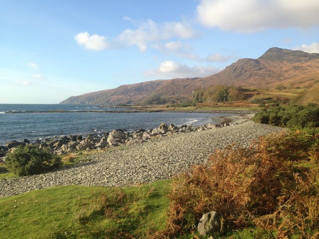
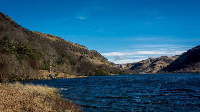
Loch Buie
Loch Buie (Scottish Gaelic: Locha Buidhe, meaning "yellow loch") is a sea loch on the south coast of the Isle of Mull, off the west coast of Scotland....

Ben Buie
Ben Buie (717 m) is a mountain in the south of the Isle of Mull, Scotland. A rocky mountain, it has steep and rugged slopes, especially on its eastern...
Creach-Beinn (Mull)
Creach-Beinn (698 m) is a mountain in the south of the Isle of Mull, Scotland. It rises above the northern shore of Loch Spelve. A rocky mountain with...

Firth of Lorn
The Firth of Lorn or Lorne (Scottish Gaelic: An Linne Latharnach) is the inlet of the sea between the south-east coast of the Isle of Mull and the mainland...

Carsaig Bay
Carsaig Bay is a cove on the Ross of Mull in the south of the Isle of Mull, off the west coast of Scotland. It is situated 5 kilometres (3 miles) eastward...
Loch Spelve
Loch Spelve is a sea loch on the southeast coast of the Isle of Mull, off the west coast of Scotland. It is almost landlocked with a relatively narrow...
Nearby Amenities
Located within 500m of 56.353432,-5.8563569Have you been to Poll Bàrlaig?
Leave your review of Poll Bàrlaig below (or comments, questions and feedback).