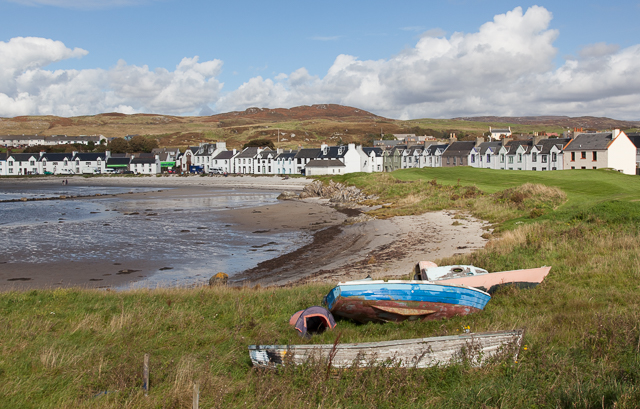
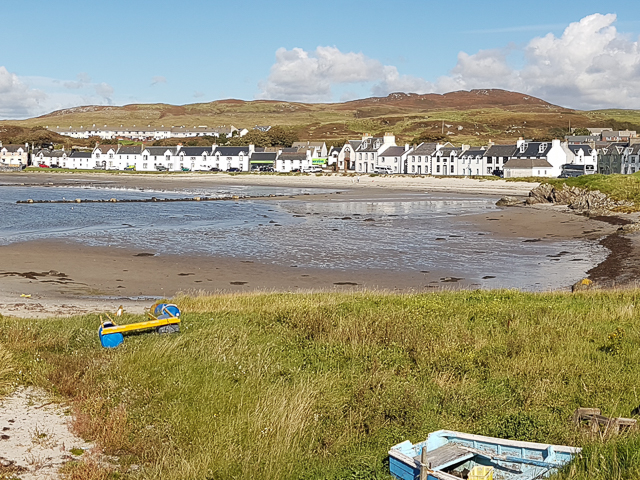
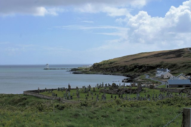
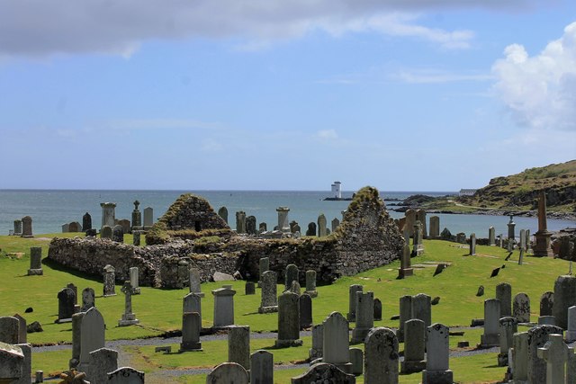
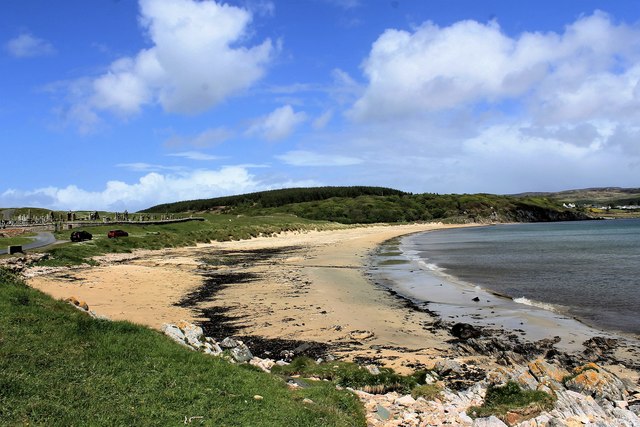
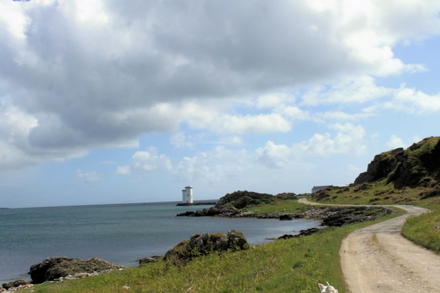
Tràigh Bheag a' Bhrige
Beach in Argyllshire
Scotland
Tràigh Bheag a' Bhrige
The requested URL returned error: 429 Too Many Requests
If you have any feedback on the listing, please let us know in the comments section below.
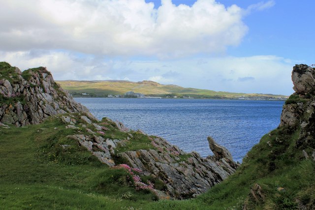
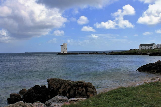
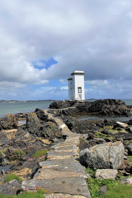
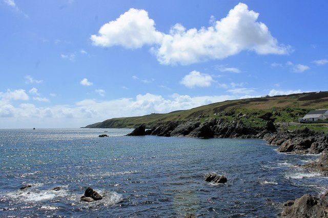
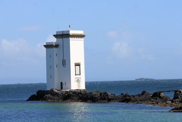
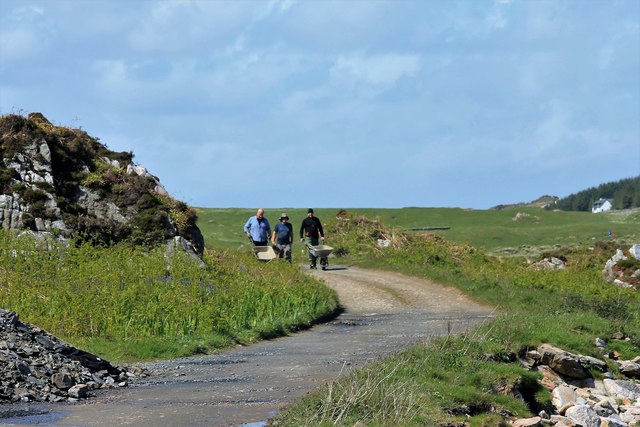
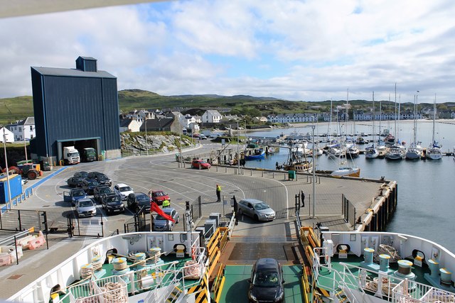
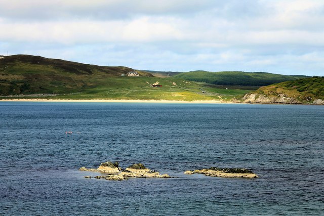
Tràigh Bheag a' Bhrige Images
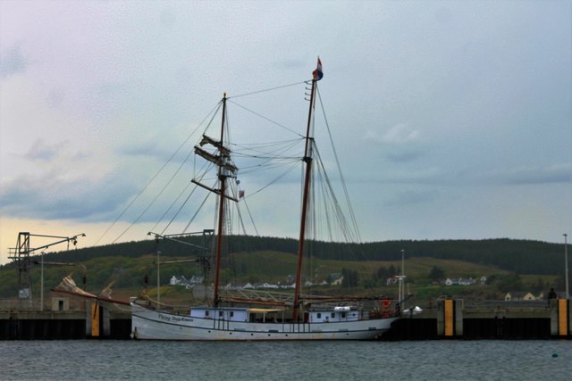
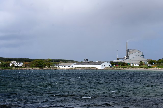
Images are sourced within 2km of 55.632911/-6.1986031 or Grid Reference NR3545. Thanks to Geograph Open Source API. All images are credited.


Tràigh Bheag a' Bhrige is located at Grid Ref: NR3545 (Lat: 55.632911, Lng: -6.1986031)
Unitary Authority: Argyll and Bute
Police Authority: Argyll and West Dunbartonshire
What 3 Words
///mailers.debt.dust. Near Port Ellen, Argyll & Bute
Nearby Locations
Related Wikis

Port Ellen distillery
Port Ellen distillery is located in Port Ellen on the isle of Islay, Scotland. It initially operated between 1825 and 1983 when production shut down....

St John's Church, Port Ellen
St John's Church, Port Ellen is a Category B listed building in Port Ellen, Islay, Argyll and Bute, Scotland. == History == The memorial stone for the...

Port Ellen
Port Ellen (Scottish Gaelic: Port Ìlein) is a small town on the island of Islay, in Argyll, Scotland. The town is named after the wife of its founder,...

Laphroaig distillery
Laphroaig distillery ( lə-FROYG) is an Islay single malt Scotch whisky distillery. It is named after the area of land at the head of Loch Laphroaig on...
Nearby Amenities
Located within 500m of 55.632911,-6.1986031Have you been to Tràigh Bheag a' Bhrige?
Leave your review of Tràigh Bheag a' Bhrige below (or comments, questions and feedback).