Inbhir Shligeach
Coastal Feature, Headland, Point in Argyllshire
Scotland
Inbhir Shligeach
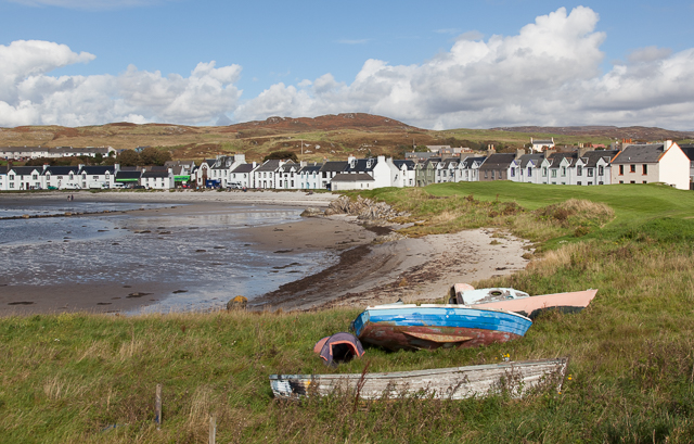
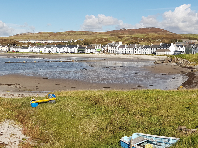
Inbhir Shligeach, located in Argyllshire, is a stunning coastal feature that captivates visitors with its breathtaking beauty and rich history. This headland, also referred to as a point, is situated on the western coast of Scotland, overlooking the magnificent Atlantic Ocean.
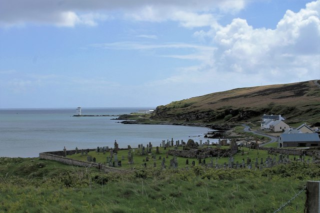
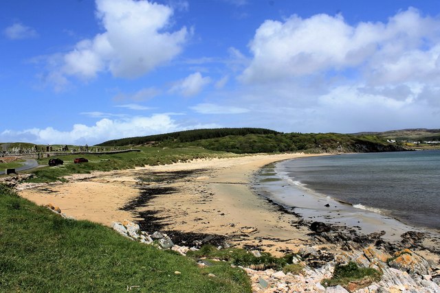
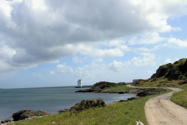
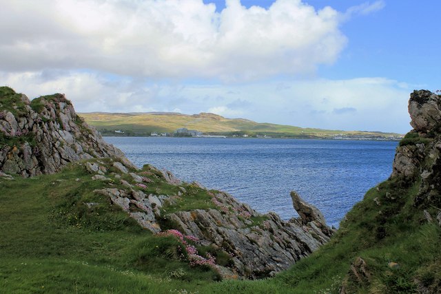
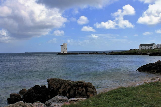
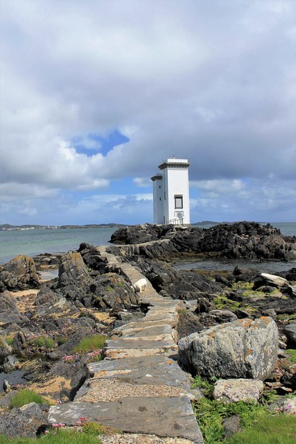
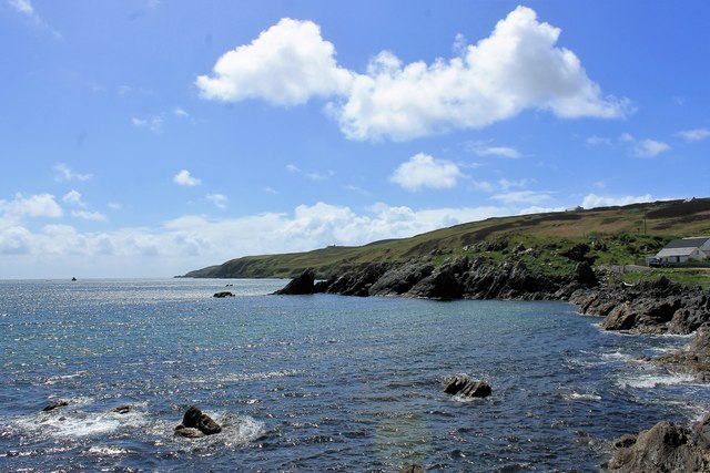
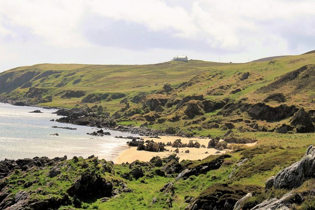
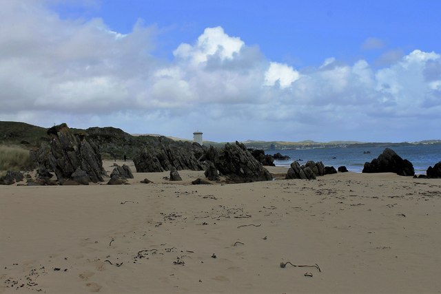
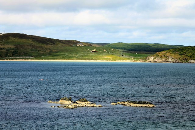
Inbhir Shligeach is characterized by its rugged cliffs, which tower above the crashing waves below. The headland offers panoramic views of the surrounding landscape, with its dramatic sea stacks and pristine sandy beaches. It serves as a haven for wildlife, with seabirds nesting on the cliffs and seals often spotted basking on the rocks.
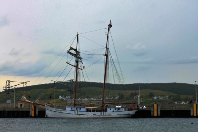
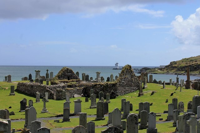
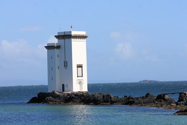
The area surrounding Inbhir Shligeach is steeped in history, with numerous ancient ruins and archaeological sites to explore. Visitors can discover the remains of ancient settlements and burial sites, providing insights into the lives of the people who once inhabited this area. The headland also played a significant role in maritime history, serving as a navigational landmark for sailors and fishermen.
In addition to its natural and historical significance, Inbhir Shligeach offers a range of outdoor activities for visitors to enjoy. From coastal walks and hikes along the cliffs to water sports such as surfing and kayaking, there is something for everyone to enjoy in this stunning coastal location.
Overall, Inbhir Shligeach is a remarkable coastal feature that showcases the beauty of Scotland's western coast. With its rugged cliffs, stunning views, and rich history, it is a must-visit destination for nature lovers and history enthusiasts alike.
If you have any feedback on the listing, please let us know in the comments section below.
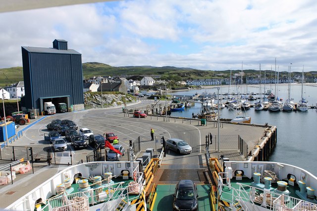
Inbhir Shligeach Images
Images are sourced within 2km of 55.630966/-6.2096823 or Grid Reference NR3545. Thanks to Geograph Open Source API. All images are credited.
Inbhir Shligeach is located at Grid Ref: NR3545 (Lat: 55.630966, Lng: -6.2096823)
Unitary Authority: Argyll and Bute
Police Authority: Argyll and West Dunbartonshire
What 3 Words
///lecturers.regulator.token. Near Port Ellen, Argyll & Bute
Nearby Locations
Related Wikis

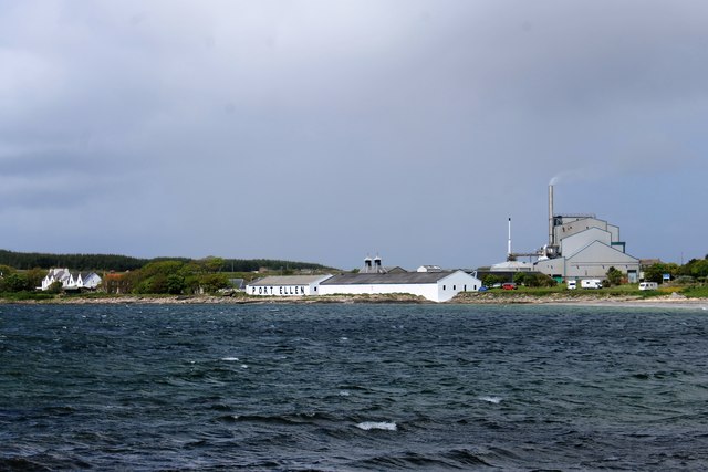
Port Ellen distillery
Port Ellen distillery is located in Port Ellen on the isle of Islay, Scotland. It initially operated between 1825 and 1983 when production shut down....

St John's Church, Port Ellen
St John's Church, Port Ellen is a Category B listed building in Port Ellen, Islay, Argyll and Bute, Scotland. == History == The memorial stone for the...

Port Ellen
Port Ellen (Scottish Gaelic: Port Ìlein) is a small town on the island of Islay, in Argyll, Scotland. The town is named after the wife of its founder,...

Leorin Loch
Leorin Loch is of the impounding variety, located 2.5 kilometres north of Port Ellen, and is one of a group of three lochs supplying water to the island...
Nearby Amenities
Located within 500m of 55.630966,-6.2096823Have you been to Inbhir Shligeach?
Leave your review of Inbhir Shligeach below (or comments, questions and feedback).