Mol na Mnà
Beach in Ross-shire
Scotland
Mol na Mnà
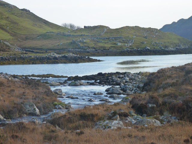
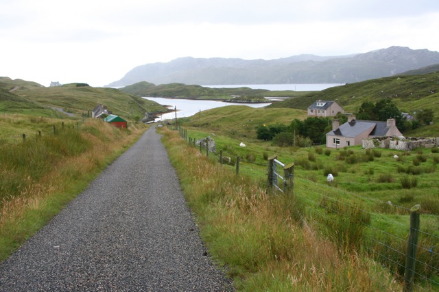
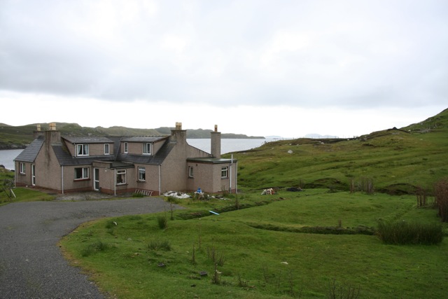
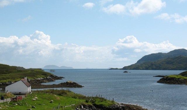
Mol na Mnà is a picturesque beach located in the Ross-shire region of Scotland. Situated along the northwest coast, it offers visitors stunning views of the North Atlantic Ocean and is a popular destination for locals and tourists alike.
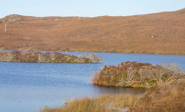
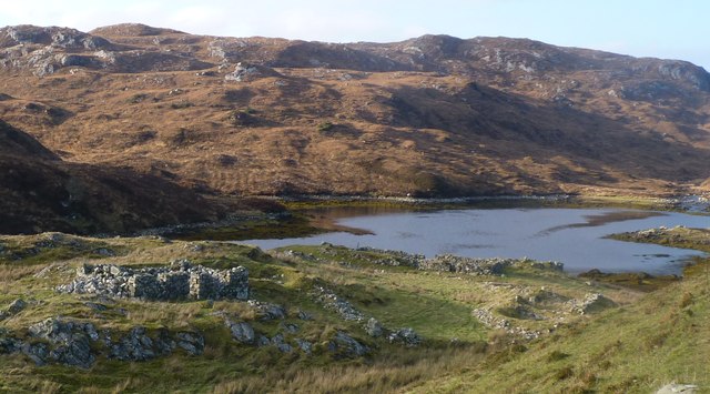
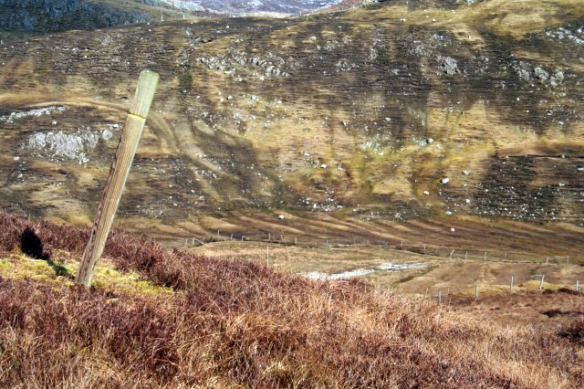
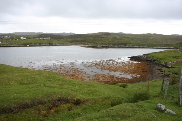
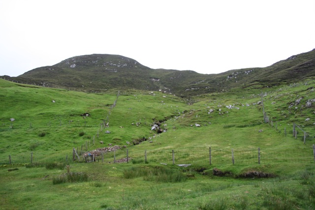
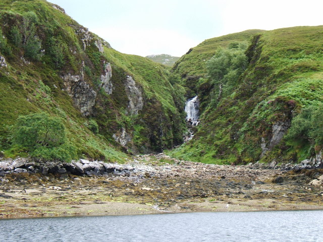
The beach is characterized by its soft golden sands and clear turquoise waters, creating a tranquil and serene atmosphere. Its remote location provides a sense of seclusion and tranquility, making it an ideal spot for relaxation and enjoying nature. The beach is surrounded by rolling hills and dramatic cliffs, adding to its natural beauty.
Mol na Mnà is renowned for its diverse wildlife, making it a haven for nature enthusiasts. Visitors can spot a variety of seabirds, including gannets, puffins, and kittiwakes, as well as seals and dolphins in the waters. The beach is also home to a wide range of plant species, with wildflowers and grasses dotting the coastline.
The beach offers various activities for visitors to enjoy. Swimming and sunbathing are popular during the summer months when the weather is milder. The crystal-clear waters are also perfect for snorkeling and diving, allowing visitors to explore the underwater world teeming with marine life.
Access to Mol na Mnà is relatively easy, with a car park located nearby and a short walk leading to the beach. However, it is recommended to check the tide times before visiting, as the beach can become inaccessible during high tide.
Overall, Mol na Mnà is a hidden gem along the Ross-shire coast, offering visitors a chance to unwind, explore nature, and immerse themselves in the breathtaking surroundings.
If you have any feedback on the listing, please let us know in the comments section below.
Mol na Mnà Images
Images are sourced within 2km of 58.010762/-6.4780024 or Grid Reference NB3511. Thanks to Geograph Open Source API. All images are credited.
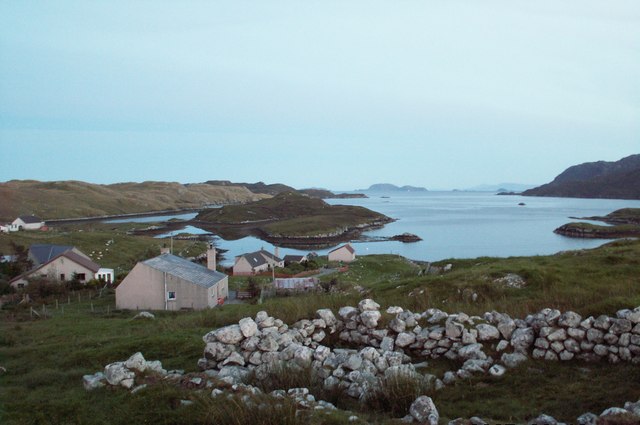
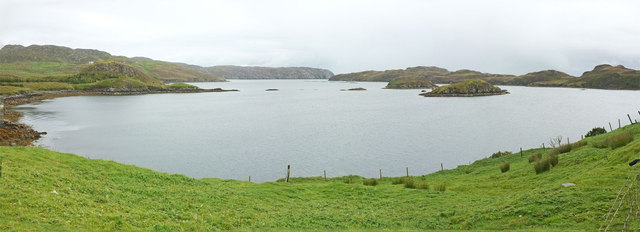
![Coastal view, Orasaigh One would assume that the name 'Orasaigh' refers to the small island [centre left], as well as the community. The island is accessible at low tide, like several Oronsay and Orasay islands around the west coast.](https://s1.geograph.org.uk/geophotos/01/47/41/1474105_b387cda5.jpg)

Mol na Mnà is located at Grid Ref: NB3511 (Lat: 58.010762, Lng: -6.4780024)
Unitary Authority: Na h-Eileanan an Iar
Police Authority: Highlands and Islands
What 3 Words
///awkward.plan.severe. Near Leurbost, Na h-Eileanan Siar
Nearby Locations
Related Wikis

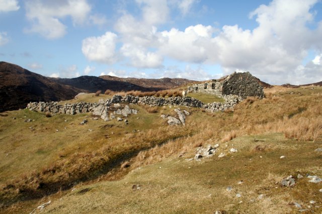
Stiomrabhaig
Stiomrabhaig is an abandoned crofter's village on the Isle of Lewis in the Outer Hebrides. == History == The United Kingdom Census 1851 shows that the...

Orinsay
Orinsay (Scottish Gaelic: Orasaigh) is a crofting village on the Isle of Lewis in the district of Pairc, in the Outer Hebrides, Scotland. The settlement...

Eilean Liubhaird
Eilean Liubhaird or Eilean Iubhard is an island in the Outer Hebrides, to the east of Lewis. == Geography and geology == The rock is "gneiss bedrock with...

Gravir
Gravir (Scottish Gaelic: Grabhair), is a village on the shore of Loch Odhairn (a sea loch) in the Park district of the Isle of Lewis. Gravir is within...
Have you been to Mol na Mnà?
Leave your review of Mol na Mnà below (or comments, questions and feedback).