Cnoc a' Ghromuinn
Hill, Mountain in Ross-shire
Scotland
Cnoc a' Ghromuinn
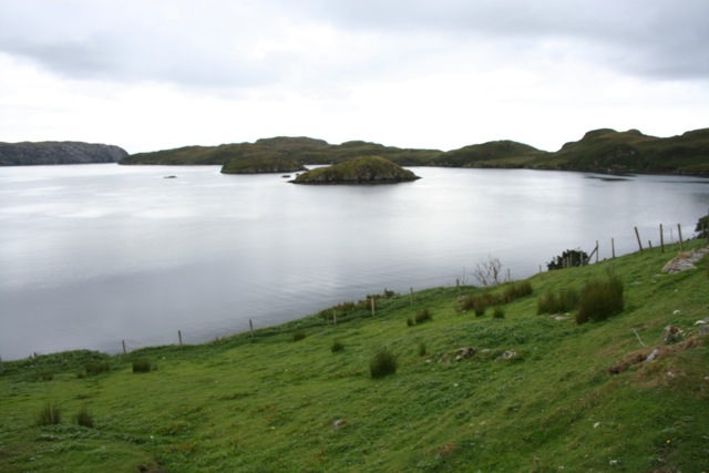
Cnoc a' Ghromuinn, also known as Cromarty Hill, is a prominent hill located in Ross-shire, Scotland. Situated near the town of Cromarty, it stands at an elevation of approximately 139 meters (456 feet) above sea level. The hill offers breathtaking views of the surrounding area, including the Cromarty Firth, Black Isle, and the Moray Firth.
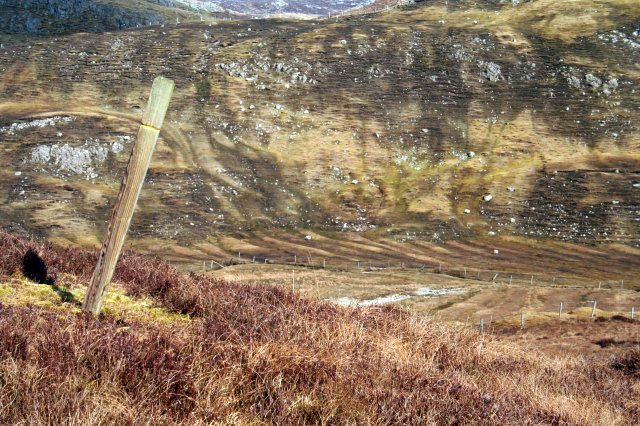
Cnoc a' Ghromuinn is a popular destination for outdoor enthusiasts and nature lovers. It is easily accessible, with a well-maintained path leading to the summit. The hike to the top takes around 30 minutes and is suitable for all skill levels. Along the way, visitors can enjoy the diverse flora and fauna that inhabit the hill, including heather, gorse, and various bird species.
At the summit of Cnoc a' Ghromuinn, visitors are rewarded with stunning panoramic views. On a clear day, one can see as far as Ben Wyvis and the mountains of Wester Ross. The hill is a perfect spot for photography, picnics, or simply taking in the tranquility of the Scottish Highlands.
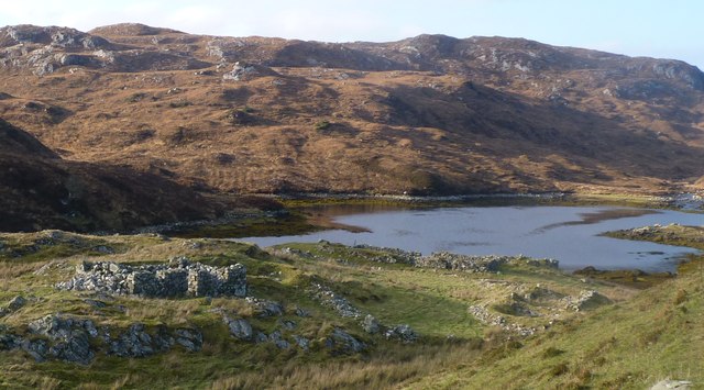
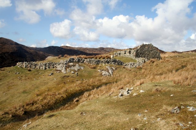
In addition to its natural beauty, Cnoc a' Ghromuinn holds historical significance. The hill is home to an Iron Age fort, known as Castle Hill, which dates back over 2,000 years. The fort's remains can still be seen, adding an extra layer of interest for those with an appreciation for ancient history.
Overall, Cnoc a' Ghromuinn is a must-visit destination in Ross-shire, offering a combination of natural beauty, recreational opportunities, and historical significance.
If you have any feedback on the listing, please let us know in the comments section below.
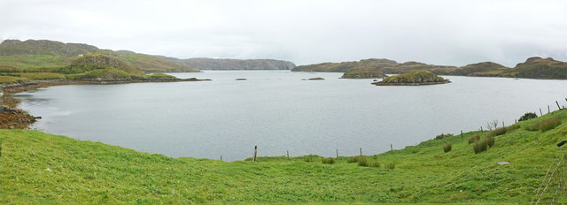
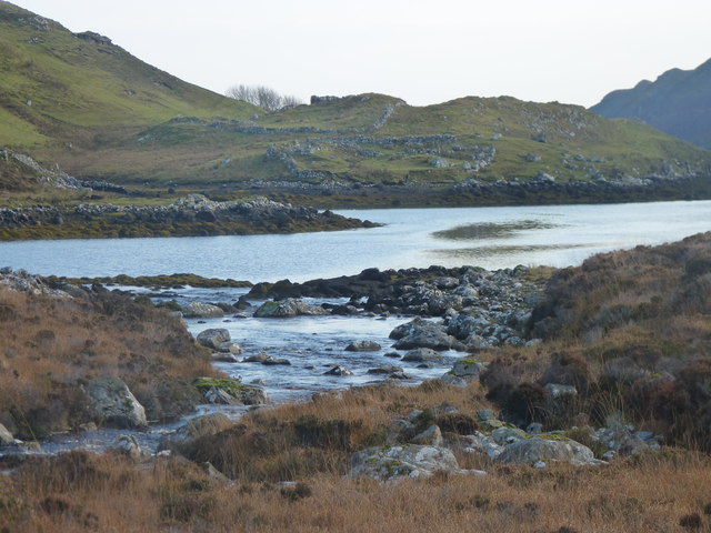
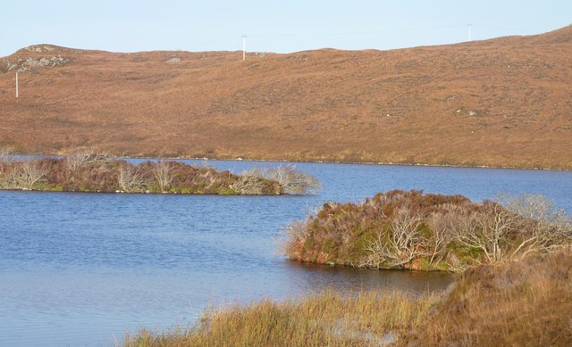
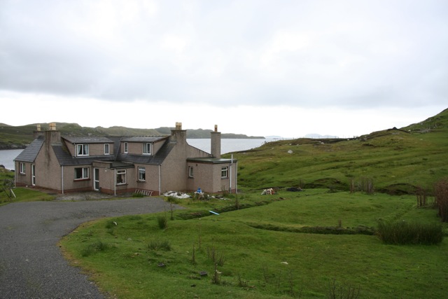
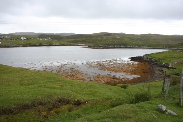
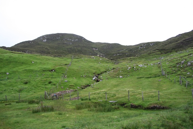
Cnoc a' Ghromuinn Images
Images are sourced within 2km of 58.015034/-6.4744359 or Grid Reference NB3511. Thanks to Geograph Open Source API. All images are credited.


Cnoc a' Ghromuinn is located at Grid Ref: NB3511 (Lat: 58.015034, Lng: -6.4744359)
Unitary Authority: Na h-Eileanan an Iar
Police Authority: Highlands and Islands
What 3 Words
///face.pies.boardroom. Near Leurbost, Na h-Eileanan Siar
Nearby Locations
Related Wikis

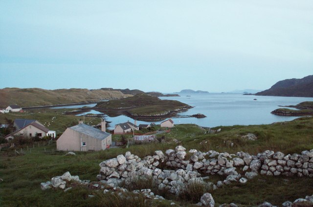
Orinsay
Orinsay (Scottish Gaelic: Orasaigh) is a crofting village on the Isle of Lewis in the district of Pairc, in the Outer Hebrides, Scotland. The settlement...

Stiomrabhaig
Stiomrabhaig is an abandoned crofter's village on the Isle of Lewis in the Outer Hebrides. == History == The United Kingdom Census 1851 shows that the...

Eilean Liubhaird
Eilean Liubhaird or Eilean Iubhard is an island in the Outer Hebrides, to the east of Lewis. == Geography and geology == The rock is "gneiss bedrock with...

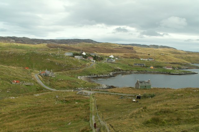
Gravir
Gravir (Scottish Gaelic: Grabhair), is a village on the shore of Loch Odhairn (a sea loch) in the Park district of the Isle of Lewis. Gravir is within...

Park, Lewis
Park (Scottish Gaelic: A' Phàirc), also known as South Lochs, is a huge area of land connected to the rest of Lewis only by a narrow neck between Loch...

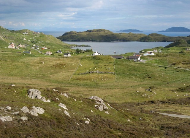
Calbost
Calbost (Scottish Gaelic: Calabost) is a village on the Isle of Lewis in the Outer Hebrides, Scotland. Calbost is within the parish of Lochs, and within...

Cabharstadh
Cabharstadh or Caversta (Scottish Gaelic: Cabharstaigh) is a village on the Isle of Lewis in the Outer Hebrides, Scotland. Caversta is situated in the...
Loch Erisort
Loch Erisort (Scottish Gaelic: Èireasort) is an 8-mile-long narrow sea inlet on the east coast of the Isle of Lewis in the Outer Hebrides off the west...
Nearby Amenities
Located within 500m of 58.015034,-6.4744359Have you been to Cnoc a' Ghromuinn?
Leave your review of Cnoc a' Ghromuinn below (or comments, questions and feedback).