Strathmarchin Bay
Bay in Banffshire
Scotland
Strathmarchin Bay

Strathmarchin Bay is a picturesque bay located in Banffshire, Scotland. It is situated on the northeastern coast of the country, overlooking the North Sea. The bay is known for its stunning natural beauty and serene ambiance, making it a popular destination for both locals and tourists.
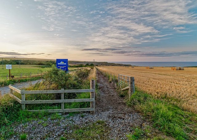
The bay is characterized by its sandy beach, which stretches for approximately one kilometer and offers breathtaking views of the surrounding cliffs and rugged coastline. The sand is soft and golden, making it an ideal spot for sunbathing, picnicking, and leisurely walks along the shore. The crystal-clear waters of the North Sea provide opportunities for swimming, kayaking, and various water sports.
Surrounding the bay are rolling green hills and cliffs that create a dramatic backdrop, adding to the bay's charm. Visitors can indulge in hiking or cycling along the coastal paths, exploring the stunning natural landscapes and observing the diverse wildlife that thrives in the area.
Strathmarchin Bay is also home to a variety of marine life, including seals, dolphins, and a wide range of seabirds. Birdwatchers flock to the bay to catch a glimpse of puffins, guillemots, and kittiwakes, among others.
There are facilities available at the bay, including car parking, toilets, and a small café that serves refreshments and light snacks. It is important to note that the bay is subject to the tides, so it is recommended to check the tide times before planning a visit.
Overall, Strathmarchin Bay in Banffshire offers a tranquil and picturesque coastal experience, showcasing the natural beauty and diverse wildlife that Scotland has to offer.
If you have any feedback on the listing, please let us know in the comments section below.
Strathmarchin Bay Images
Images are sourced within 2km of 57.688737/-2.6549075 or Grid Reference NJ6166. Thanks to Geograph Open Source API. All images are credited.


Strathmarchin Bay is located at Grid Ref: NJ6166 (Lat: 57.688737, Lng: -2.6549075)
Unitary Authority: Aberdeenshire
Police Authority: North East
What 3 Words
///chuck.universally.jeep. Near Portsoy, Aberdeenshire
Nearby Locations
Related Wikis

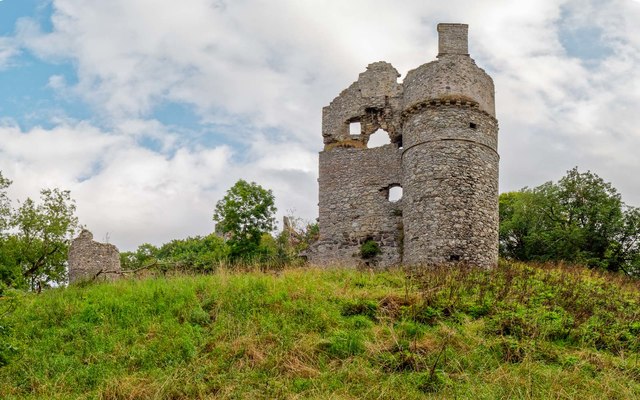
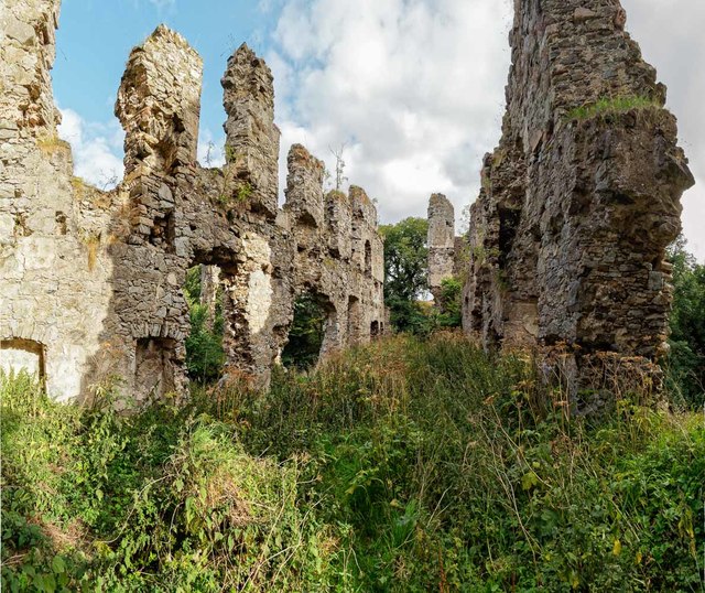
Boyne Castle
Boyne Castle (also known as the Palace of Boyne) is a 16th-century quadrangular castle about 1.5 miles (2.4 km) east of Portsoy, Aberdeenshire, Scotland...

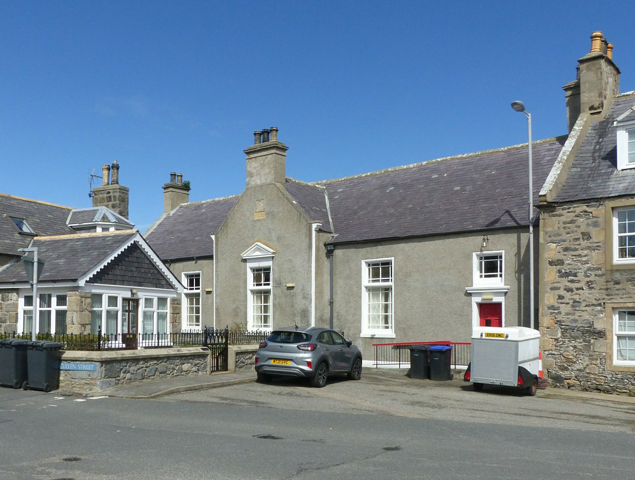
Portsoy
Portsoy (Scottish Gaelic: Port Saoidh) is a village in Aberdeenshire, Scotland. Historically, Portsoy was in Banffshire. The original name may come from...
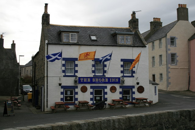
Shore Inn
The Shore Inn is a public house in Portsoy, Aberdeenshire, Scotland. Dating to the mid-18th century, it is now a Category C listed building. It is two...
Old Town Hall, Portsoy
The Old Town Hall is a municipal building on the north side of The Square in Portsoy, Aberdeenshire, Scotland. The structure, which is used for religious...
Nearby Amenities
Located within 500m of 57.688737,-2.6549075Have you been to Strathmarchin Bay?
Leave your review of Strathmarchin Bay below (or comments, questions and feedback).