Bay of Greentoft

Bay in Orkney

Scotland

Bay of Greentoft

Green, Eday Southern shore of Eday, seen from the Sanday ferry.
Green, Eday Credit: Richard Webb

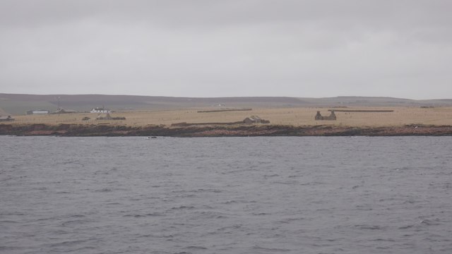
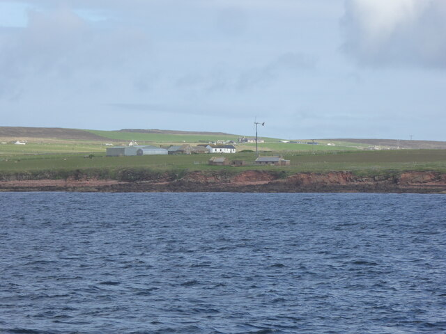
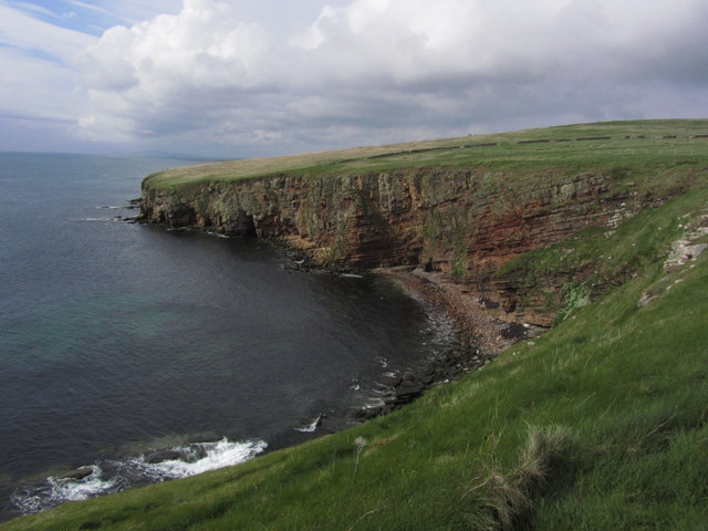
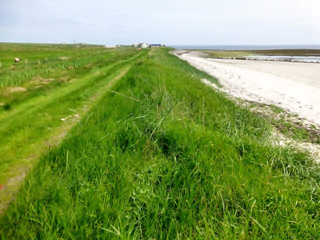
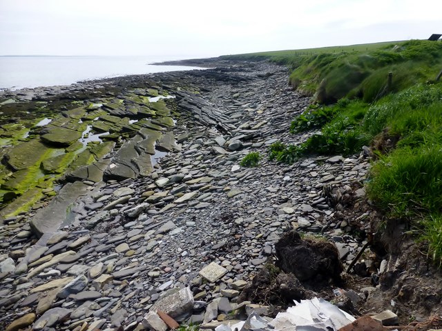
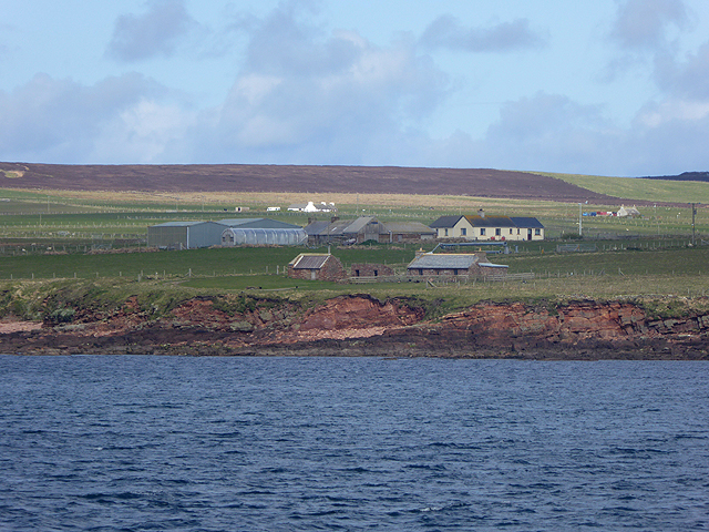
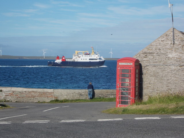
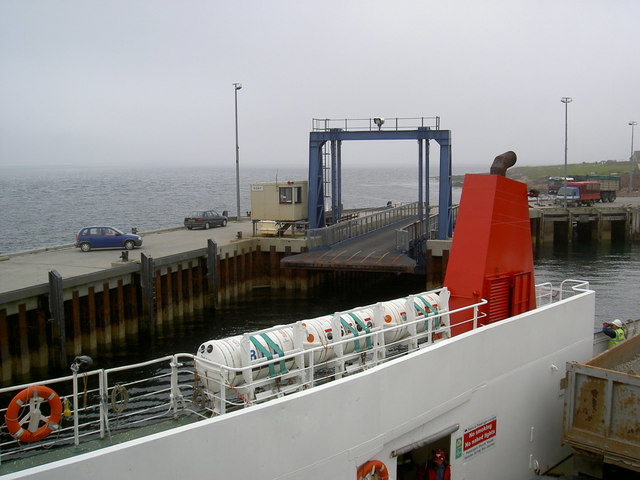
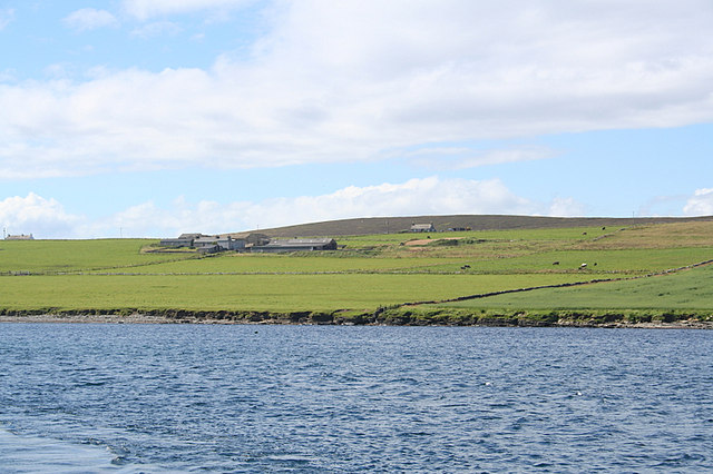
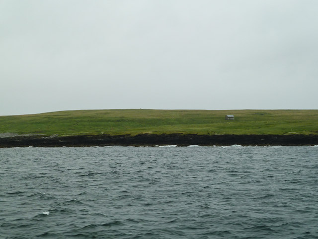
The Bay of Greentoft is a picturesque coastal area located on the island of Orkney, situated off the northeastern coast of Scotland. It is a small bay that stretches approximately 1.5 kilometers in length and is surrounded by rugged cliffs and lush greenery. The bay itself is sheltered, making it a popular spot for boating and fishing enthusiasts.

The bay is known for its stunning natural beauty, with its clear blue waters and sandy beaches. The surrounding cliffs provide an ideal habitat for a variety of seabirds, including puffins, guillemots, and razorbills, making it a haven for birdwatchers and nature lovers.

In addition to its natural attractions, the Bay of Greentoft is also steeped in history. The area is home to several archaeological sites, including the remains of ancient settlements and burial grounds. These sites offer a glimpse into the island's rich history and provide a unique opportunity for visitors to explore Orkney's past.

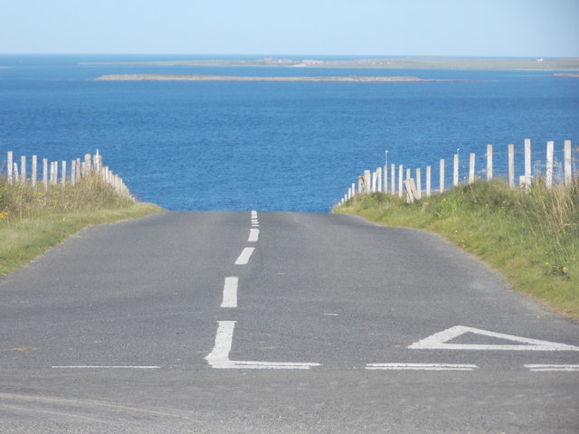
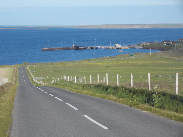
Access to the Bay of Greentoft is relatively easy, with a well-maintained road leading to the bay from the nearby village of Kirkwall. The bay is also equipped with basic amenities, including parking facilities and public toilets. Visitors can enjoy leisurely walks along the beach, take in the breathtaking views, or simply relax in the peaceful surroundings.

Overall, the Bay of Greentoft is a hidden gem on the island of Orkney, offering a combination of natural beauty and historical significance. Whether you are an outdoor enthusiast, a history buff, or simply seeking tranquility, this bay has something to offer for everyone.

If you have any feedback on the listing, please let us know in the comments section below.

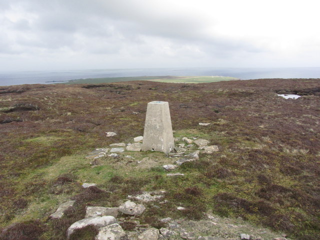
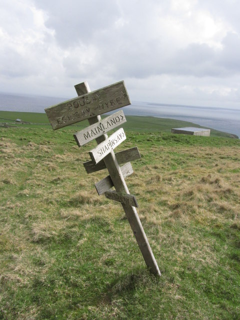
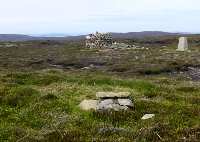
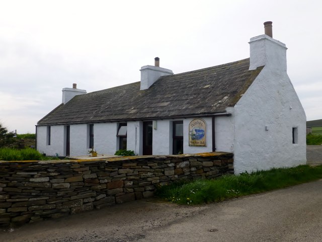
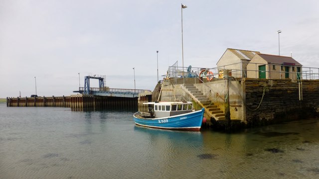
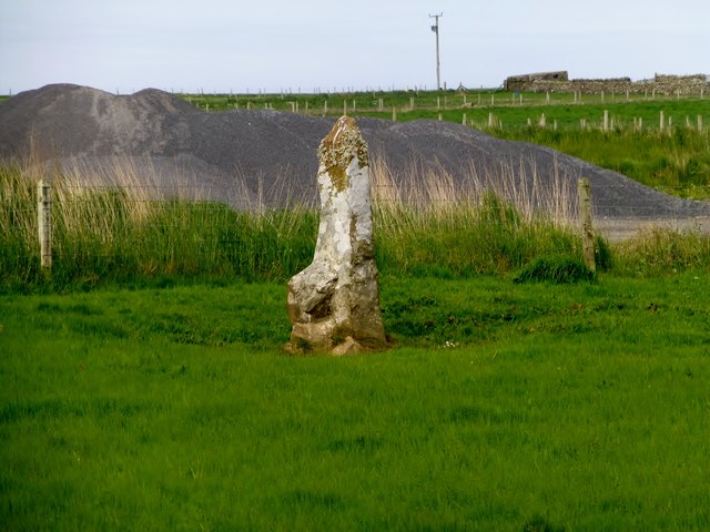
Bay of Greentoft Images

Images are sourced within 2km of 59.142682/-2.7714161 or Grid Reference HY5528. Thanks to Geograph Open Source API. All images are credited.

Green, Eday Southern shore of Eday, seen from the Sanday ferry.
Green, Eday
Southern shore of Eday, seen from the Sanday ferry.
Buildings at Stackie Geos, Eday
Eday; view N towards Whitemaw Bay
Eday; Trig point on Ward Hill. View towards Stennie Hill
Eday; Trig point on Ward Hill. view towards Veness
Eday; Wooden directional post S of Ward Hill
Ward Hill, Eday, Orkney Parked near the pub then walked up track and moorland to summit with Jim Bloomer, Richard Tibbetts and Tricky Speirs on a sunny afternoon before a trip to the beach.
Name: Ward Hill (Eday)
Hill number: 4931
Height: 102m / 335ft
Parent (Ma/M): none
Area: 23: Orkney Islands
Class: Hu,1
Grid ref: HY552299 (est)
Drop: 102m
Col: Sea
Ward Hill, Eday, Orkney
Parked near the pub then walked up track and moorland to summit with Jim Bloomer, Richard Tibbetts and Tricky Speirs on a sunny afternoon before a trip to the beach. Name: Ward Hill (Eday) Hill number: 4931 Height: 102m / 335ft Parent (Ma/M): none Area: 23: Orkney Islands Class: Hu,1 Grid ref: HY552299 (est) Drop: 102m Col: Sea
Coastal View Near Southside, Eday
Roadside Public House, Eday
The Pier, Eday
The Pier, Eday
Standing stone near former quarry
Coastal View Towards War Ness
Farm buildings at Green On the south-east corner of the Isle of Eday.
Farm buildings at Green
On the south-east corner of the Isle of Eday.
Eday: the B9063 disappears into the sea It doesn't, of course, but it appears to from here. It actually gently descends and follows the coast to the ferry pier.

Little Linga is the small island ahead of us, with the northern end of Stronsay beyond.
Eday: the B9063 disappears into the sea
It doesn't, of course, but it appears to from here. It actually gently descends and follows the coast to the ferry pier. Little Linga is the small island ahead of us, with the northern end of Stronsay beyond.
Eday: the B9063 heads for the pier The pier and ferry terminal are the destination of the B9063, seen here descending to the coastline before hugging it for a quarter of a mile or so. Stronsay is in the background.
Eday: the B9063 heads for the pier
The pier and ferry terminal are the destination of the B9063, seen here descending to the coastline before hugging it for a quarter of a mile or so. Stronsay is in the background.
Eday: postbox № KW17 114 and phone This postbox is of a modern design, constructed of pressed steel and designed to be more robust, rustproof and theft-proof than the traditional cast iron box that it will have replaced in the last couple of years.

The box stands close to the ferry pier and, as an antidote to the modernness of the postbox, a traditional red telephone box is adjacent.
Eday: postbox № KW17 114 and phone
This postbox is of a modern design, constructed of pressed steel and designed to be more robust, rustproof and theft-proof than the traditional cast iron box that it will have replaced in the last couple of years. The box stands close to the ferry pier and, as an antidote to the modernness of the postbox, a traditional red telephone box is adjacent.
Eday: a phone box and a departing ferry A man watches the ferry, which has just brought me here from Sanday, depart for Kirkwall.

Some of the wind turbines of Sanday are in the background.
Eday: a phone box and a departing ferry
A man watches the ferry, which has just brought me here from Sanday, depart for Kirkwall. Some of the wind turbines of Sanday are in the background.
Approaching Eday Pier
Show me another place!

Bay of Greentoft is located at Grid Ref: HY5528 (Lat: 59.142682, Lng: -2.7714161)

Unitary Authority: Orkney Islands

Police Authority: Highlands and Islands

What 3 Words

///glory.disengage.mime. Near Backaland, Orkney Islands

Related Wikis

Backaland

Backaland is a settlement on the island of Eday in Orkney, Scotland. The settlement is also within the parish of Eday, and it is located to the south west...

Orbital O2

Orbital Marine Power (formerly Scotrenewables Tidal Power Ltd) is a Scottish renewable energy company focused on the development and global deployment...

List of tidal power stations

This article lists most power stations that run on tidal power; both tidal range (impoundment via a barrage) and tidal stream (harnessing currents). Since...

Muckle Green Holm

Muckle Green Holm is an uninhabited island in the North Isles of the Orkney archipelago in Scotland. It is roughly 28 hectares (0.11 sq mi) in extent and...

Nearby Amenities

Located within 500m of 59.142682,-2.7714161
Bay of Greentoft
Natural: bay
Lat/Long: 59.1423693/-2.7710676
Hannah's Kirk
Access: no
Historic: archaeological_site
Note: (the site of) Unmarked; No visible remains left.
Opening Hours: closed
Wheelchair: no
Lat/Long: 59.1429816/-2.7761019
Stackel Brae
Archaeological Site: settlement
Historic: archaeological_site
Note: Medieval/post-medieval high-status fortified dwelling. Which is said to be the site of the 'Castle of Stackel Brae'
Opening Hours: closed
Wheelchair: no
Lat/Long: 59.1443331/-2.7632755
Generator Method: wind_turbine
Generator Source: wind
Power: generator
Lat/Long: 59.1454407/-2.7652613
Power: pole
Lat/Long: 59.1447045/-2.7650415
The data included in this document is from www.openstreetmap.org. The data is made available under ODbL.

Have you been to Bay of Greentoft?

Leave your review of Bay of Greentoft below (or comments, questions and feedback).