Sandend Bay
Bay in Banffshire
Scotland
Sandend Bay

Sandend Bay is a picturesque coastal village located in Banffshire, Scotland. Situated on the North Sea coast, it is renowned for its beautiful sandy beach, which stretches for over a mile and is flanked by towering cliffs. The bay is nestled between the charming towns of Portsoy and Cullen, making it a popular destination for both locals and tourists.
The beach at Sandend Bay is a haven for outdoor enthusiasts and nature lovers. Its golden sands offer ample space for sunbathing, picnicking, and beach games, while its clear waters attract surfers, swimmers, and kayakers. The bay is particularly well-regarded among surfers due to the consistent waves generated by the nearby reefs. The presence of a surf school also makes it an ideal spot for beginners to learn and practice the sport.
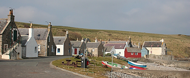
Sandend Bay is steeped in history, with the village itself dating back to the 17th century. It was once a thriving fishing community, and remnants of the old fisherman's cottages can still be seen today. The bay also boasts an iconic harbor, which provides shelter to a small fleet of fishing boats. Visitors can witness the daily activities of the fishermen as they bring in their catches or explore the quaint fishing village.
In addition to its natural beauty and historical significance, Sandend Bay offers stunning views of the rugged coastline and the nearby cliffs. The area is also home to an abundance of wildlife, including seabirds, dolphins, and seals, making it a paradise for birdwatchers and wildlife enthusiasts.
Overall, Sandend Bay is a captivating destination that offers a perfect blend of natural splendor, outdoor activities, and cultural heritage.
If you have any feedback on the listing, please let us know in the comments section below.
Sandend Bay Images
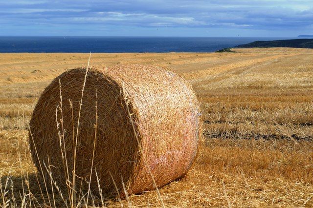
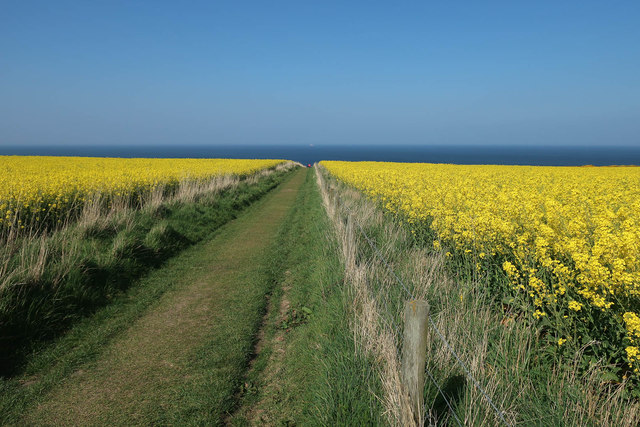
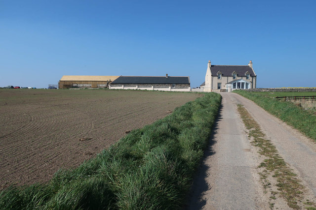
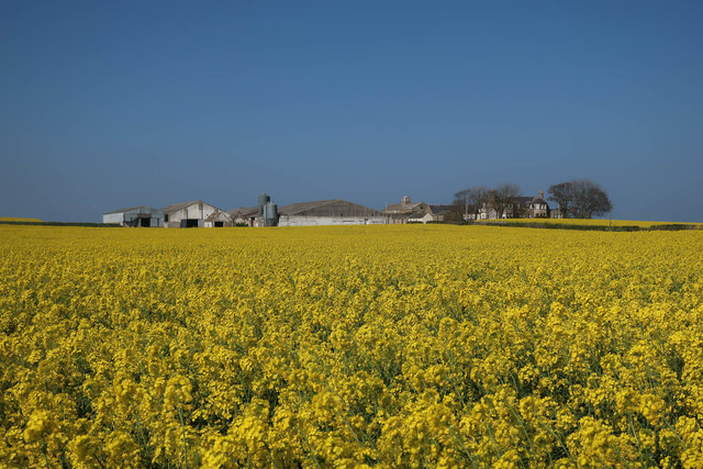
Images are sourced within 2km of 57.687388/-2.7384746 or Grid Reference NJ5666. Thanks to Geograph Open Source API. All images are credited.


Sandend Bay is located at Grid Ref: NJ5666 (Lat: 57.687388, Lng: -2.7384746)
Unitary Authority: Aberdeenshire
Police Authority: North East
What 3 Words
///probing.feuds.sling. Near Portsoy, Aberdeenshire
Nearby Locations
Related Wikis
Sandend
Sandend (Scots: Sanine) is a small fishing village near Banff and Portsoy, Scotland, typical of the area. It was "a considerable seatown as early as 1624...
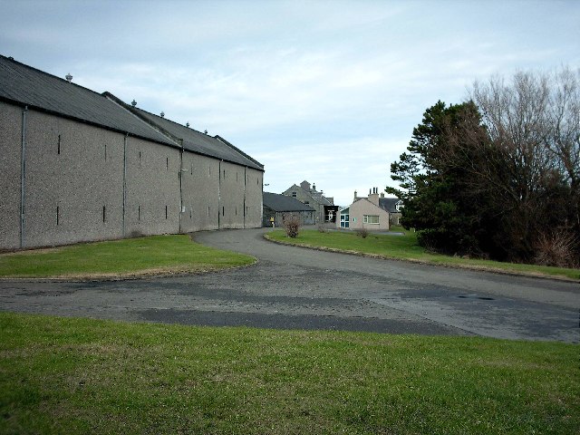
Glenglassaugh distillery
Glenglassaugh distillery is a malt scotch whisky distillery which restarted production in November 2008 after being acquired by an independent investment...

Glassaugh railway station
Glassaugh railway station was a railway station that served the rural area of Glassaugh and the nearby Glenglassaugh distillery close to Portsoy in Moray...

Findlater Castle
Findlater Castle is the old seat of the Earls of Findlater and Seafield, sitting on a 50-foot (15 m)-high cliff overlooking the Moray Firth on the coast...
Nearby Amenities
Located within 500m of 57.687388,-2.7384746Have you been to Sandend Bay?
Leave your review of Sandend Bay below (or comments, questions and feedback).