Broad Craig

Island in Banffshire

Scotland

Broad Craig

Sandend Sea Sandend with a sea running.
Sandend Sea Credit: Andrew Wood

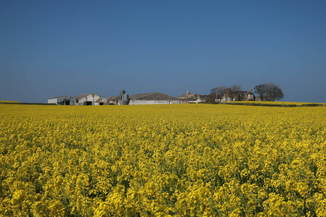
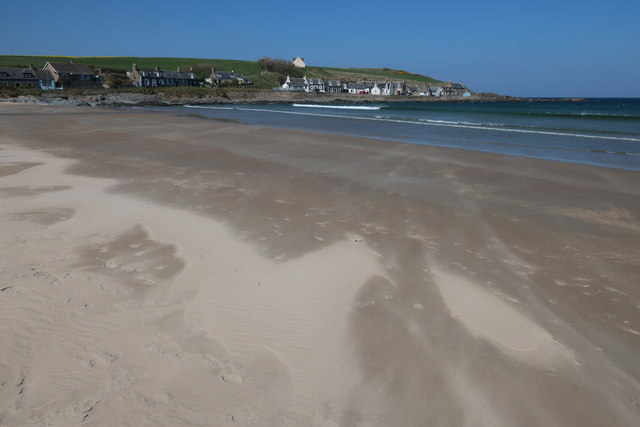
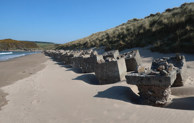
Broad Craig is a small island located off the coast of Banffshire, Scotland. Situated in the North Sea, it is part of the Moray Firth and lies approximately 5 miles northeast of Portsoy. The island covers an area of around 2.5 acres and is mostly composed of rugged cliffs and rocky outcrops.

Known for its stunning natural beauty, Broad Craig offers breathtaking views of the surrounding coastline and the vast expanse of the North Sea. The island is home to a diverse range of marine wildlife, including seabirds such as gannets, puffins, and kittiwakes. Visitors can often spot seals basking on the rocks or swimming in the clear blue waters.

Access to Broad Craig is limited due to its remote location and lack of infrastructure. The island is uninhabited and does not have any facilities for tourists. However, it attracts adventurous nature enthusiasts and birdwatchers who are drawn to its unspoiled landscapes and tranquil atmosphere.

Visitors can reach Broad Craig by boat, with local tour operators offering trips to explore the island and its surroundings. These trips often provide an opportunity for birdwatching, photography, and enjoying the peaceful seclusion that the island offers.

In conclusion, Broad Craig is a beautiful and secluded island off the coast of Banffshire, Scotland. With its rugged cliffs, diverse wildlife, and stunning views, it offers a unique experience for those seeking a peaceful escape in nature.

If you have any feedback on the listing, please let us know in the comments section below.

Broad Craig Images

Images are sourced within 2km of 57.687383/-2.7284783 or Grid Reference NJ5666. Thanks to Geograph Open Source API. All images are credited.

Sandend Sea Sandend with a sea running.
Sandend Sea
Sandend with a sea running.
Defences at Sandend Wartime concrete blocks still line the beach at Sandend.
Defences at Sandend
Wartime concrete blocks still line the beach at Sandend.
Crathie Point Vaugue path through the grass down to the rocky headland of Crathie Point
Crathie Point
Vaugue path through the grass down to the rocky headland of Crathie Point
Crathie Point Lichen covered rocks at Crathie Point
Crathie Point
Lichen covered rocks at Crathie Point
View from Crathie Point Looking East towards Garron Point
View from Crathie Point
Looking East towards Garron Point
Hoverfly on Hawk.... That is, I think it's a hoverfly, and I think it's a hawkweed rather than a Hawksbeard or Hawkbit, but I do not know which species either is. I think it might be Narrow-leaved Hawkweed (Hieracium umbellatum) but am happy to be corrected.
Hoverfly on Hawk....
That is, I think it's a hoverfly, and I think it's a hawkweed rather than a Hawksbeard or Hawkbit, but I do not know which species either is. I think it might be Narrow-leaved Hawkweed (Hieracium umbellatum) but am happy to be corrected.
Site of the Marble Quarry The faint path on the left leads down to shore where 'Portsoy Marble' used to be quarried. It isn't a marble, but a serpentinite. Marble is metamorphosed limestone (calcium carbonate), while serpentine is a mineral metamorphosed from ocean-floor rocks with a high content of iron, magnesium and other heavy elements. It is typically green in colour, as can be seen in the rock stack, but the Portsoy one often occurs in a dark red. The 'marble' was much used in decorative architecture, and is still worked for jewellery and small ornaments, which are on sale in the Portsoy Marble Shop at the harbour.
Site of the Marble Quarry
The faint path on the left leads down to shore where 'Portsoy Marble' used to be quarried. It isn't a marble, but a serpentinite. Marble is metamorphosed limestone (calcium carbonate), while serpentine is a mineral metamorphosed from ocean-floor rocks with a high content of iron, magnesium and other heavy elements. It is typically green in colour, as can be seen in the rock stack, but the Portsoy one often occurs in a dark red. The 'marble' was much used in decorative architecture, and is still worked for jewellery and small ornaments, which are on sale in the Portsoy Marble Shop at the harbour.
Sandend beach, Aberdeenshire Coastal defences from World War Two can still be seen on the beach at Sandend.
Sandend beach, Aberdeenshire
Coastal defences from World War Two can still be seen on the beach at Sandend.
Redhythe Point
Redhythe Point
Oilseed rape around Broom
Fence above Sandend Bay
Tank blocks at Sandend Bay
Saltation on Sandend Beach
Fish merchant, Sandend
Coastline towards Crathie Point
Road towards Sandend
Land for sale, Sandend 2.2 acres of residential development land.
Land for sale, Sandend
2.2 acres of residential development land.
Tank blocks on Sandend Beach With the near one heavily worn down.
Tank blocks on Sandend Beach
With the near one heavily worn down.
Show me another place!

Broad Craig is located at Grid Ref: NJ5666 (Lat: 57.687383, Lng: -2.7284783)

Unitary Authority: Aberdeenshire

Police Authority: North East

What 3 Words

///grow.helped.melt. Near Portsoy, Aberdeenshire

Related Wikis

Glenglassaugh distillery

Glenglassaugh distillery is a malt scotch whisky distillery which restarted production in November 2008 after being acquired by an independent investment...
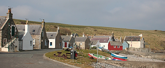
Sandend

Sandend (Scots: Sanine) is a small fishing village near Banff and Portsoy, Scotland, typical of the area. It was "a considerable seatown as early as 1624...

Glassaugh railway station

Glassaugh railway station was a railway station that served the rural area of Glassaugh and the nearby Glenglassaugh distillery close to Portsoy in Moray...

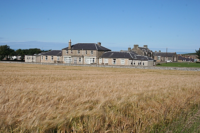
Campbell Hospital, Portsoy

Campbell Hospital was a National Health Service hospital in Portsoy, Aberdeenshire, Scotland. It was administered by NHS Grampian. == History == The hospital...

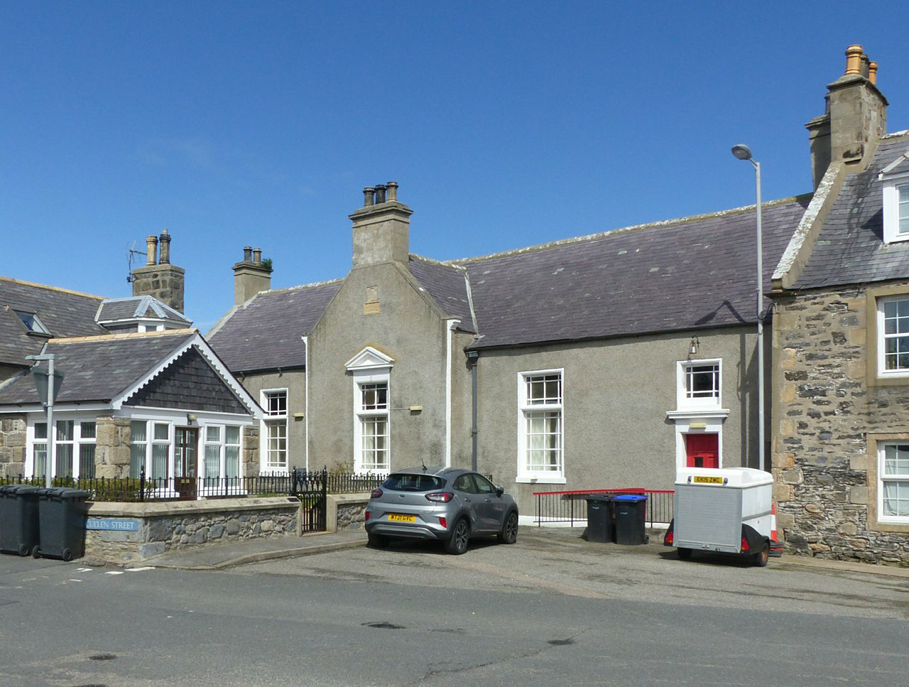
Old Town Hall, Portsoy

The Old Town Hall is a municipal building on the north side of The Square in Portsoy, Aberdeenshire, Scotland. The structure, which is used for religious...
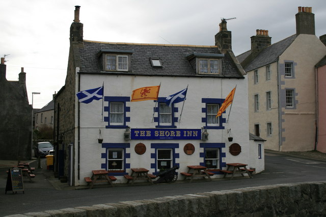
Shore Inn

The Shore Inn is a public house in Portsoy, Aberdeenshire, Scotland. Dating to the mid-18th century, it is now a Category C listed building. It is two...

Portsoy railway station

Portsoy railway station was a railway station in Portsoy, in current day Aberdeenshire. Opened in 1859 by the Banff, Portsoy and Strathisla Railway, it...

Portsoy

Portsoy (Scottish Gaelic: Port Saoidh) is a village in Aberdeenshire, Scotland. Historically, Portsoy was in Banffshire. The original name may come from...

Nearby Amenities

Located within 500m of 57.687383,-2.7284783
Source: PGS
Lat/Long: 57.6892951/-2.7214252
Source: PGS
Lat/Long: 57.6894262/-2.7218093
Source: PGS
Lat/Long: 57.6894055/-2.7229283
Source: PGS
Lat/Long: 57.6893543/-2.7234889
Source: PGS
Lat/Long: 57.6892075/-2.7238544
Source: PGS
Lat/Long: 57.6889416/-2.7243177
Source: PGS
Lat/Long: 57.6887952/-2.7247342
Source: PGS
Lat/Long: 57.6886047/-2.7243882
Source: PGS
Lat/Long: 57.6884441/-2.7245027
Source: PGS
Lat/Long: 57.6878944/-2.7253444
Source: PGS
Lat/Long: 57.6876779/-2.7259895
Source: PGS
Lat/Long: 57.6870975/-2.7267633
Source: PGS
Lat/Long: 57.6868008/-2.7274245
Source: PGS
Lat/Long: 57.6868304/-2.7278037
Source: PGS
Lat/Long: 57.6868932/-2.7278319
Source: PGS
Lat/Long: 57.6867906/-2.7280677
Source: PGS
Lat/Long: 57.6869057/-2.7282672
Source: PGS
Lat/Long: 57.686916/-2.7286328
Source: PGS
Lat/Long: 57.6868793/-2.7288903
Source: PGS
Lat/Long: 57.6866991/-2.7293122
Source: PGS
Lat/Long: 57.6864416/-2.7309969
Source: PGS
Lat/Long: 57.6861921/-2.7315543
Source: PGS
Lat/Long: 57.686038/-2.7319064
Source: PGS
Lat/Long: 57.6854939/-2.731727
Source: PGS
Lat/Long: 57.6852211/-2.7316548
Source: PGS
Lat/Long: 57.6851314/-2.7314939
Created By: almien_coastlines
Source: PGS
Lat/Long: 57.68426/-2.732036
Source: PGS
Lat/Long: 57.6840567/-2.7334503
Source: PGS
Lat/Long: 57.684284/-2.7340037
Source: PGS
Lat/Long: 57.6842913/-2.7345583
The data included in this document is from www.openstreetmap.org. The data is made available under ODbL.

Have you been to Broad Craig?

Leave your review of Broad Craig below (or comments, questions and feedback).