Trull
Coastal Feature, Headland, Point in Orkney
Scotland
Trull
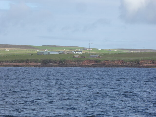
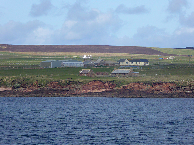
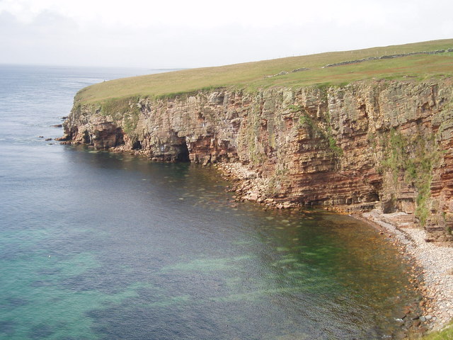
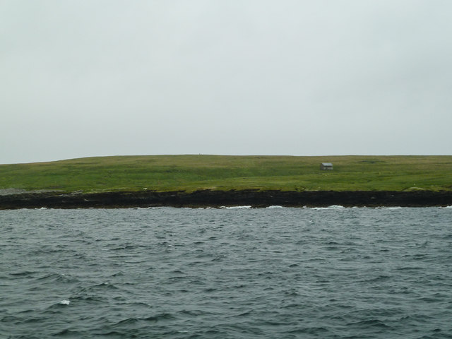
Trull is a prominent coastal feature located on the mainland of Orkney, a group of islands in Scotland. It is specifically situated on the northern coast of the mainland, near the village of Birsay. Trull is a headland that extends out into the North Sea, forming a distinct point that juts into the water.
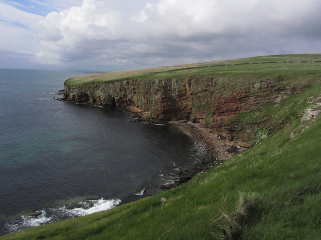
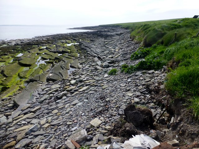
This coastal feature is characterized by its rugged terrain and towering cliffs, which provide breathtaking views of the surrounding landscape. The cliffs at Trull are composed of sandstone and are known for their impressive height, reaching up to 60 meters (197 feet) in some areas. These cliffs have been shaped by the relentless crashing of the waves over thousands of years, resulting in fascinating rock formations and caves that are popular among visitors and nature enthusiasts.
Trull offers a diverse range of flora and fauna, adding to its natural beauty. The headland is home to a variety of seabirds, including puffins, guillemots, and fulmars, that nest in the cliffs during the breeding season. It also serves as an important habitat for marine life, with seals often spotted swimming in the surrounding waters.
In addition to its natural wonders, Trull has historical significance. The headland is believed to have been a settlement site during the Viking Age, with remnants of Norse occupation discovered in the area. Archaeological excavations have uncovered artifacts and structures that provide insights into the lives of the people who once inhabited this coastal region.
Overall, Trull is a captivating coastal feature that combines stunning natural beauty, rich biodiversity, and historical significance, making it a must-visit destination for those exploring Orkney.
If you have any feedback on the listing, please let us know in the comments section below.
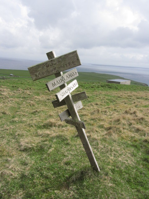
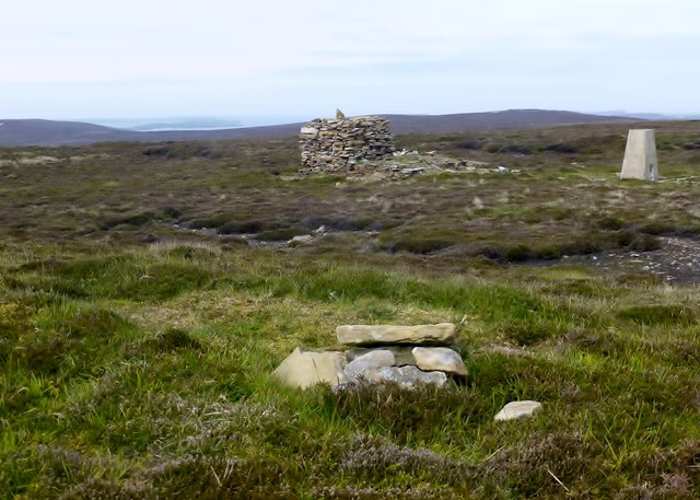
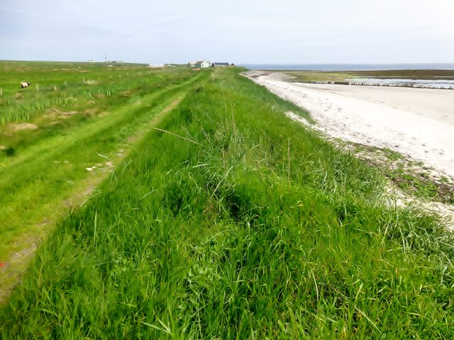
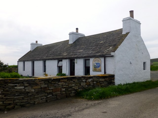
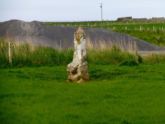
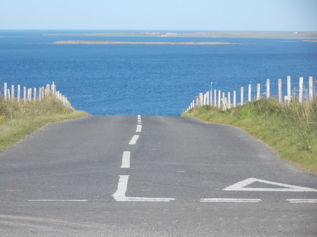
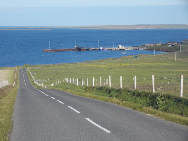
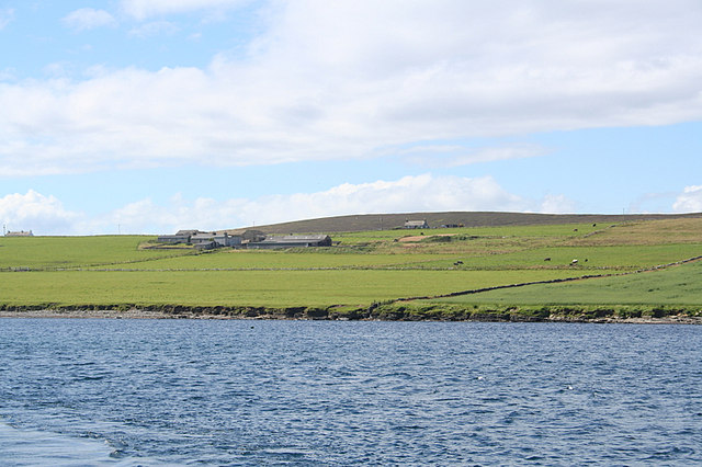
Trull Images
Images are sourced within 2km of 59.140391/-2.7805575 or Grid Reference HY5528. Thanks to Geograph Open Source API. All images are credited.


Trull is located at Grid Ref: HY5528 (Lat: 59.140391, Lng: -2.7805575)
Unitary Authority: Orkney Islands
Police Authority: Highlands and Islands
What 3 Words
///exposes.taskbar.nails. Near Backaland, Orkney Islands
Nearby Locations
Related Wikis
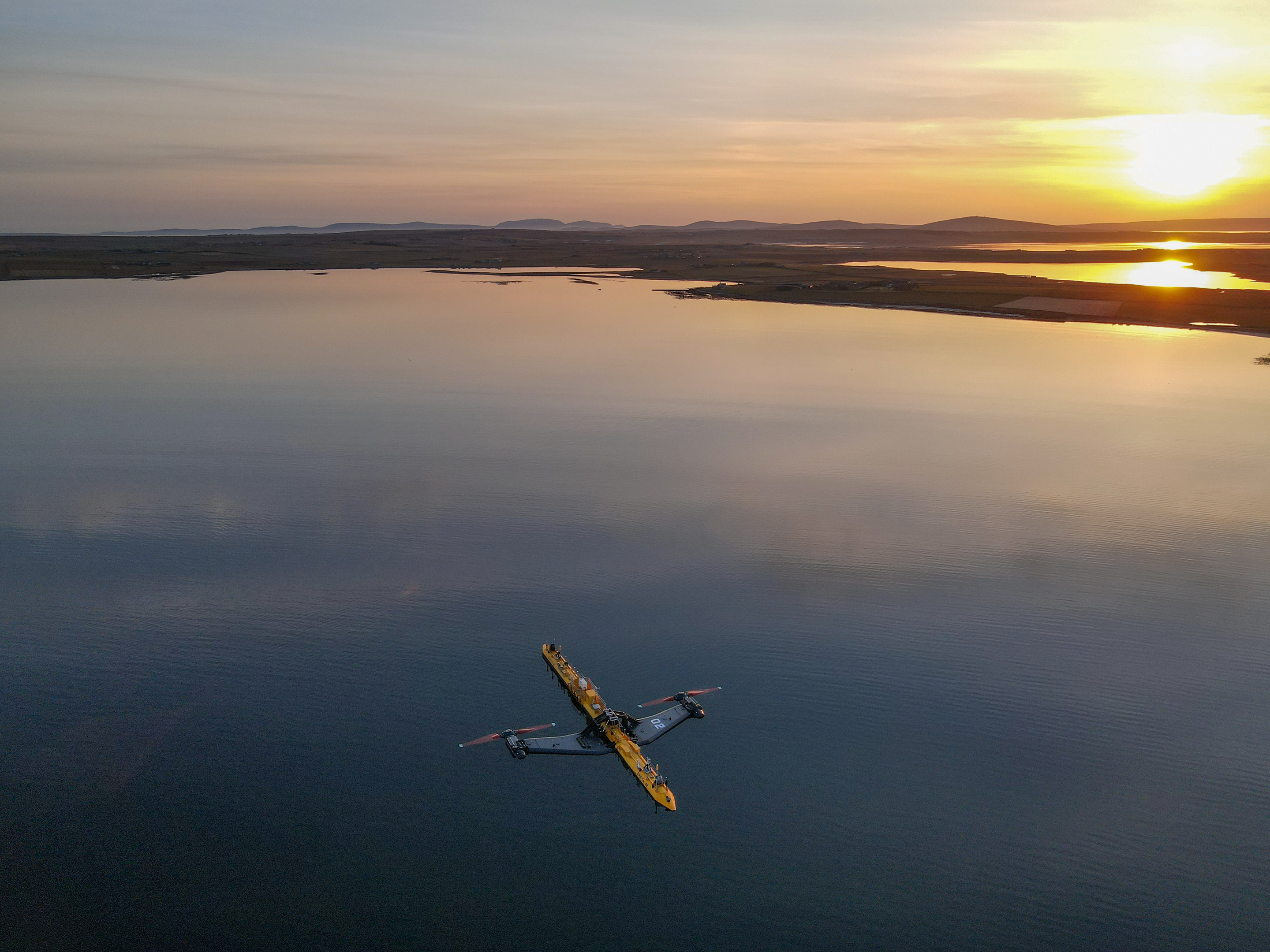
Orbital O2
Orbital Marine Power (formerly Scotrenewables Tidal Power Ltd) is a Scottish renewable energy company focused on the development and global deployment...
Backaland
Backaland is a settlement on the island of Eday in Orkney, Scotland. The settlement is also within the parish of Eday, and it is located to the south west...
List of tidal power stations
This article lists most power stations that run on tidal power; both tidal range (impoundment via a barrage) and tidal stream (harnessing currents). Since...
Muckle Green Holm
Muckle Green Holm is an uninhabited island in the North Isles of the Orkney archipelago in Scotland. It is roughly 28 hectares (0.11 sq mi) in extent and...
Nearby Amenities
Located within 500m of 59.140391,-2.7805575Have you been to Trull?
Leave your review of Trull below (or comments, questions and feedback).