War Ness
Coastal Feature, Headland, Point in Orkney
Scotland
War Ness
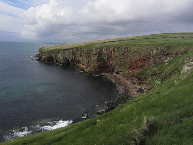
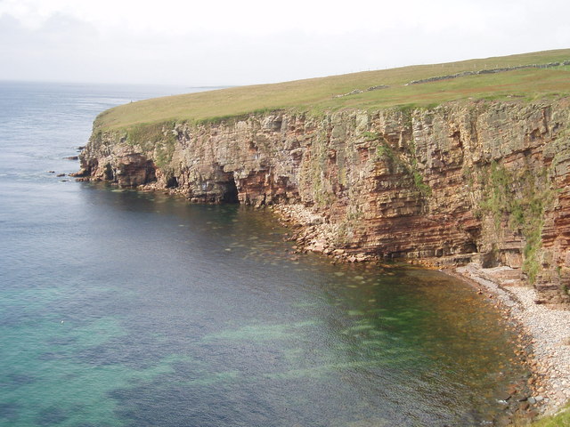
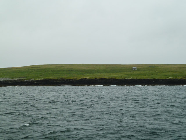
War Ness is a prominent coastal feature located in Orkney, an archipelago situated off the northeastern coast of Scotland. It is specifically found on the mainland of Orkney, near the town of Stromness. As a headland, War Ness juts out into the North Atlantic Ocean, presenting a striking and picturesque landscape.
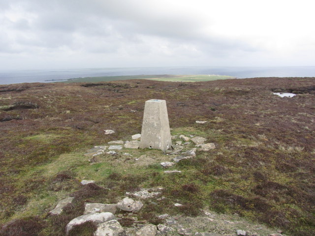
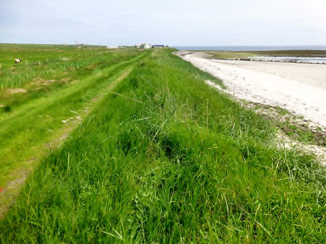
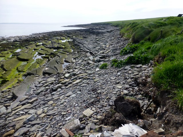
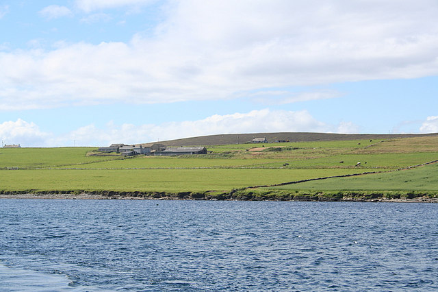
This coastal point is renowned for its rugged beauty, characterized by towering cliffs that plunge dramatically into the sea below. The headland offers breathtaking views of the surrounding coastline, with panoramic vistas of the ocean and nearby islands. Its exposed position makes it a prime spot for observing marine wildlife, such as seals, dolphins, and various seabirds.
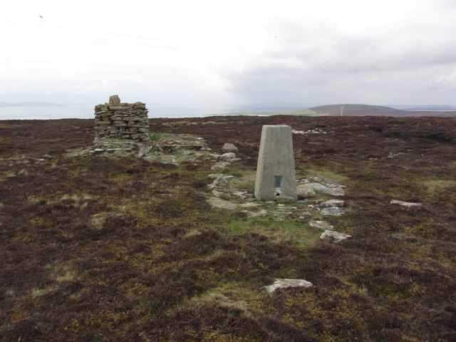
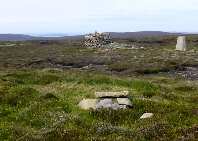
War Ness is also of historical significance. It is home to the remains of a WWII coastal battery, serving as a reminder of Orkney's strategic importance during the war. The battery was built to defend the nearby Scapa Flow, a natural harbor that housed the British Royal Navy's fleet during both World Wars.
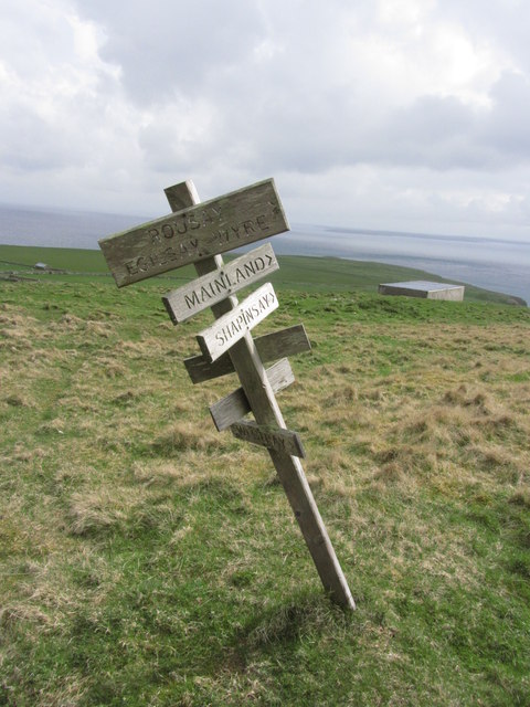
For outdoor enthusiasts, War Ness provides opportunities for coastal walks and hikes, allowing visitors to fully immerse themselves in the rugged beauty of the Orkney landscape. The area is rich in flora and fauna, with heather-covered hills and grassy plains stretching out towards the horizon.
In conclusion, War Ness is a remarkable headland on the Orkney mainland, offering stunning views, historical significance, and opportunities for outdoor exploration. It is a destination that captivates nature lovers, history enthusiasts, and anyone seeking to experience the wild beauty of the Scottish coastline.
If you have any feedback on the listing, please let us know in the comments section below.
War Ness Images
Images are sourced within 2km of 59.139042/-2.7868708 or Grid Reference HY5528. Thanks to Geograph Open Source API. All images are credited.


War Ness is located at Grid Ref: HY5528 (Lat: 59.139042, Lng: -2.7868708)
Unitary Authority: Orkney Islands
Police Authority: Highlands and Islands
What 3 Words
///certified.gravitate.boarded. Near Backaland, Orkney Islands
Nearby Locations
Related Wikis
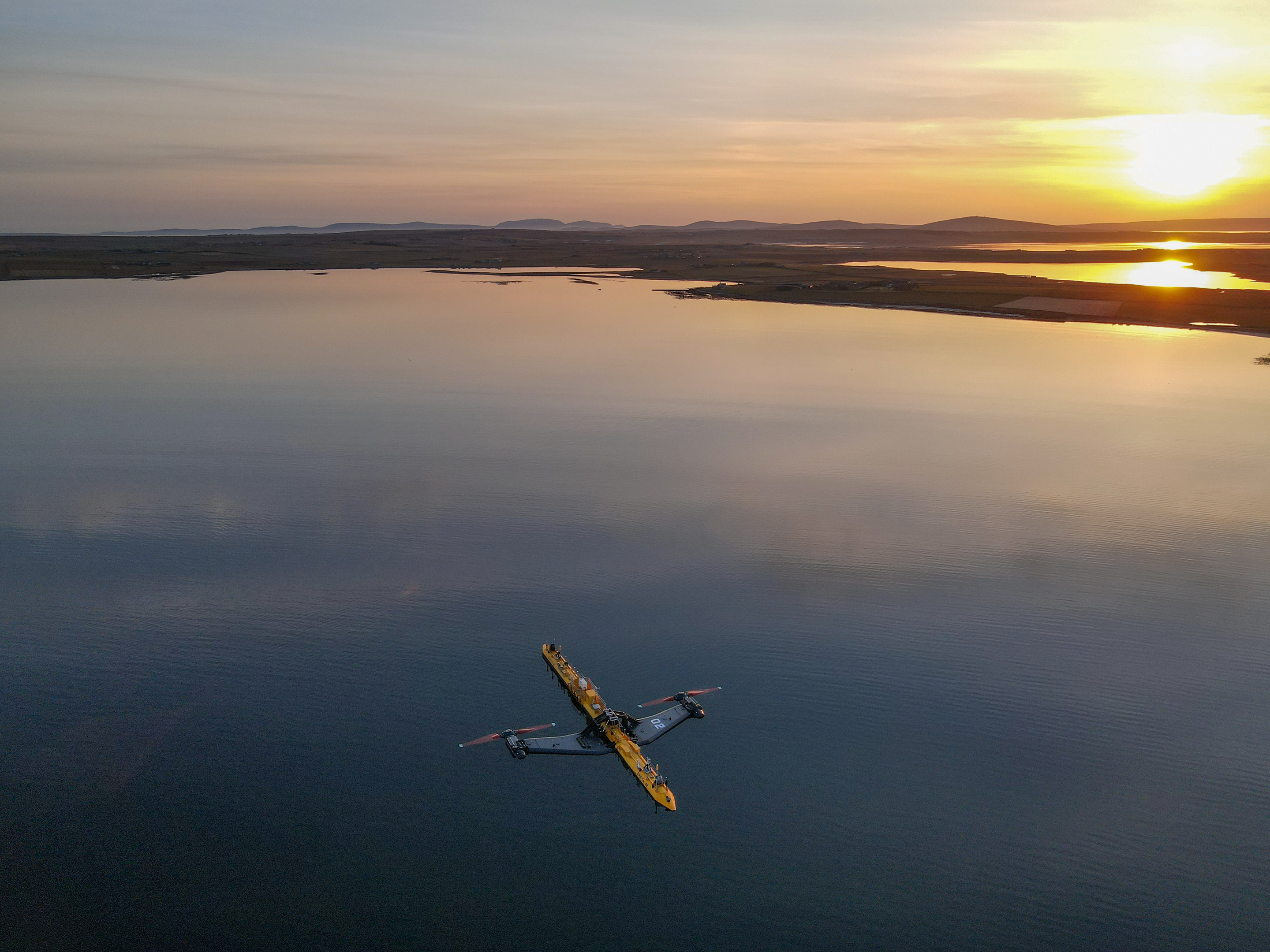
Orbital O2
Orbital Marine Power (formerly Scotrenewables Tidal Power Ltd) is a Scottish renewable energy company focused on the development and global deployment...
List of tidal power stations
This article lists most power stations that run on tidal power; both tidal range (impoundment via a barrage) and tidal stream (harnessing currents). Since...
Backaland
Backaland is a settlement on the island of Eday in Orkney, Scotland. The settlement is also within the parish of Eday, and it is located to the south west...
Muckle Green Holm
Muckle Green Holm is an uninhabited island in the North Isles of the Orkney archipelago in Scotland. It is roughly 28 hectares (0.11 sq mi) in extent and...
Nearby Amenities
Located within 500m of 59.139042,-2.7868708Have you been to War Ness?
Leave your review of War Ness below (or comments, questions and feedback).