Bay of Havey
Bay in Orkney
Scotland
Bay of Havey
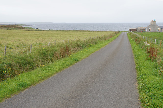
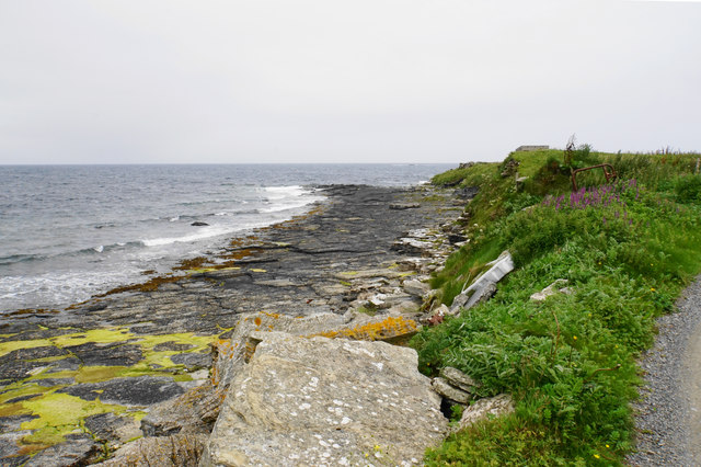
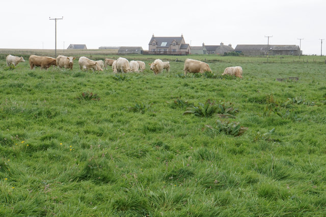
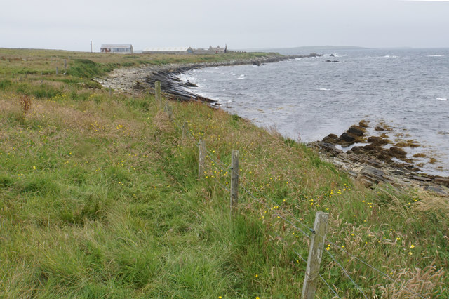
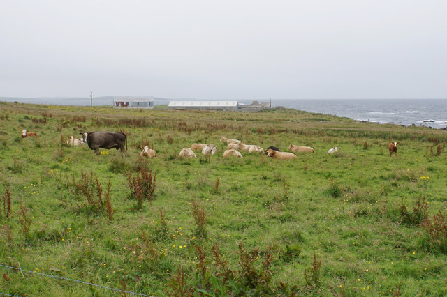
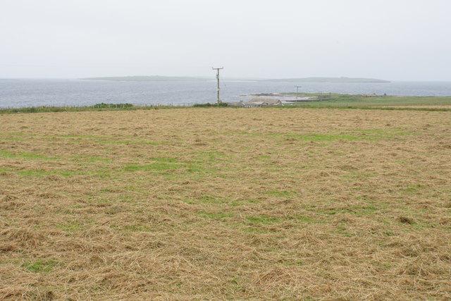
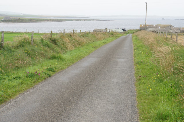
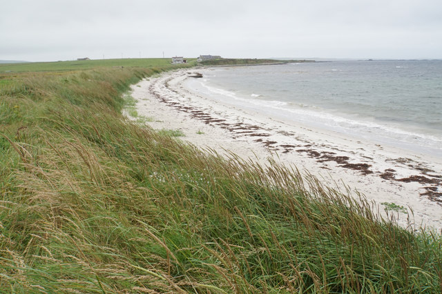
The Bay of Havey, located in Orkney, Scotland, is a picturesque coastal area known for its natural beauty and historical significance. Situated on the northeastern coast of the Mainland, the largest island in the Orkney archipelago, the bay offers stunning views of the North Sea and is surrounded by rugged cliffs and rolling green hills.
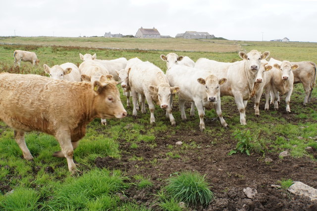
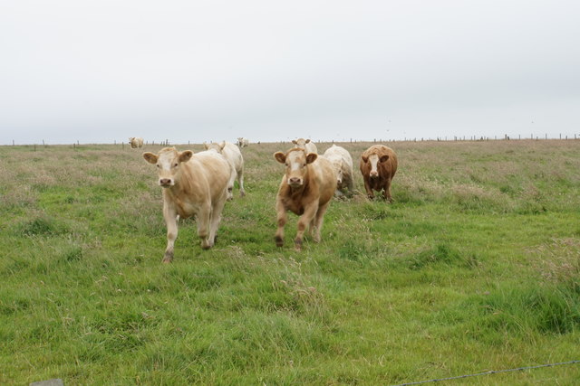
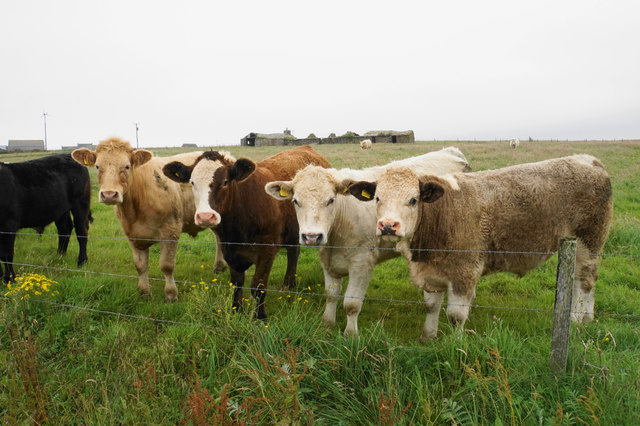
The Bay of Havey is renowned for its rich biodiversity, with a variety of marine life found in its waters. It is a popular spot for birdwatching, with numerous species of seabirds, including puffins, guillemots, and razorbills, nesting on the nearby cliffs. The bay is also home to seals, which can often be spotted sunbathing on the rocks or swimming in the clear waters.
The area has a long history, with evidence of human occupation dating back thousands of years. The nearby Neolithic village of Skara Brae, a UNESCO World Heritage Site, provides a glimpse into the lives of ancient Orcadians. Visitors can explore the remarkably preserved stone houses and gain insight into the daily routines and customs of the Neolithic people.
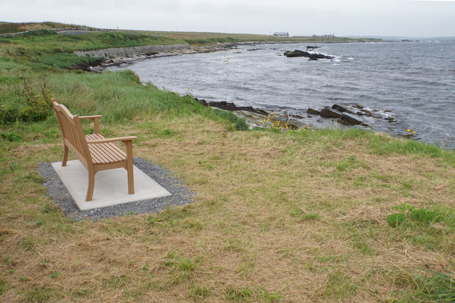
In addition to its natural and historical attractions, the Bay of Havey offers opportunities for outdoor activities such as hiking, fishing, and beachcombing. The bay's sandy beaches are perfect for a leisurely stroll or a picnic, and the surrounding cliffs provide excellent vantage points for breathtaking views of the coastline.
Overall, the Bay of Havey in Orkney is a must-visit destination for nature enthusiasts, history buffs, and anyone seeking a tranquil and scenic escape.
If you have any feedback on the listing, please let us know in the comments section below.
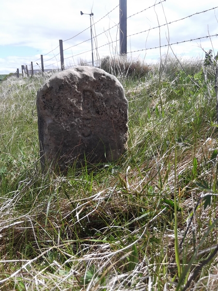
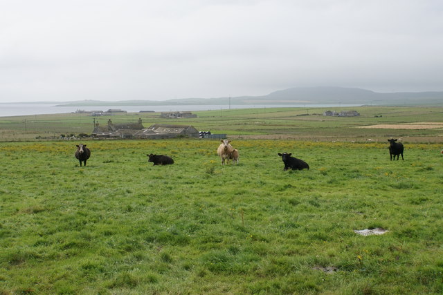
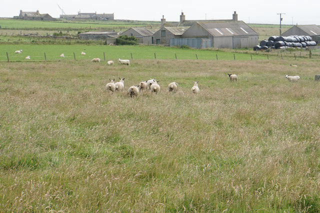
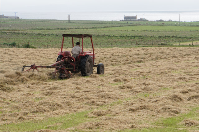
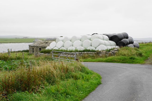
Bay of Havey Images
Images are sourced within 2km of 59.299351/-2.8981355 or Grid Reference HY4846. Thanks to Geograph Open Source API. All images are credited.
Bay of Havey is located at Grid Ref: HY4846 (Lat: 59.299351, Lng: -2.8981355)
Unitary Authority: Orkney Islands
Police Authority: Highlands and Islands
What 3 Words
///walkway.official.furniture. Near Pierowall, Orkney Islands
Nearby Locations
Related Wikis

Westside Church
Westside Church, (also known as Cross Kirk), is a ruined 12th century church located on the island of Westray in Orkney, Scotland. Archaeological excavations...

Holland House, Papa Westray
Holland Farm is a historic farm complex located on the island of Papa Westray in Orkney, Scotland. The two-storey harled flagstone house with crow-stepped...

Rapness
Rapness is a settlement on the island of Westray in Orkney, Scotland. The slipway is the ferry terminal for the Orkney Ferries crossing from Kirkwall on...

Knap of Howar
The Knap of Howar () on the island of Papa Westray in Orkney, Scotland is a Neolithic farmstead which may be the oldest preserved stone house in northern...

Lady Kirk
The Lady Kirk (or St Mary's Kirk) at Pierowall is a ruined 17th-century church on the island of Westray, in Orkney, Scotland. The church was built in 1674...

Papa Westray
Papa Westray () (Scots: Papa Westree), also known as Papay, is one of the Orkney Islands in Scotland, United Kingdom. The fertile soil has long been a...

Westray
Westray (, Scots: Westree) is one of the Orkney Islands in Scotland, with a usual resident population of just under 600 people. Its main village is Pierowall...

Papa Westray Airport
Papa Westray Airport (IATA: PPW, ICAO: EGEP) is located 22 NM (41 km; 25 mi) north of Kirkwall Airport on Papa Westray, Orkney Islands, Scotland. The facility...
Nearby Amenities
Located within 500m of 59.299351,-2.8981355Have you been to Bay of Havey?
Leave your review of Bay of Havey below (or comments, questions and feedback).