Back Geo

Coastal Feature, Headland, Point in Orkney

Scotland

Back Geo

Old Milestone by the B9066, near Loch of Swartmill, Westray Parish By the B9066, in parish of Westray (District), Moss brae, opposite red telephone box.

Surveyed

Milestone Society National ID: OR_WYPWRP03.
Old Milestone by the B9066, near Loch of Swartmill, Westray Parish Credit: Milestone Society

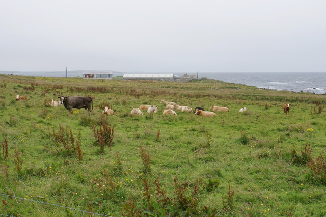
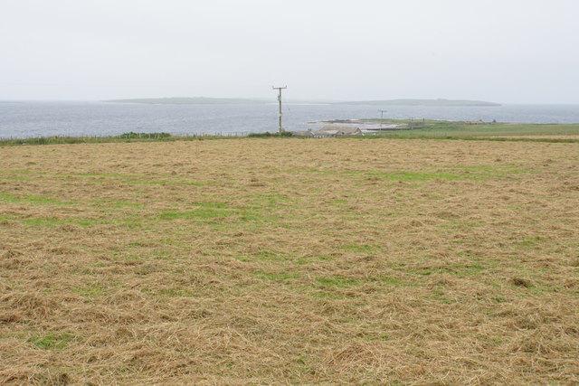
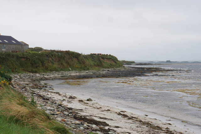
Back Geo is a prominent coastal feature located in Orkney, Scotland. It is classified as a headland or point, jutting out into the North Sea and offering stunning views of the surrounding coastline. Back Geo is situated on the eastern coast of Orkney Mainland, near the town of Stromness.

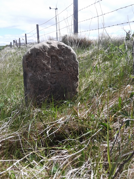
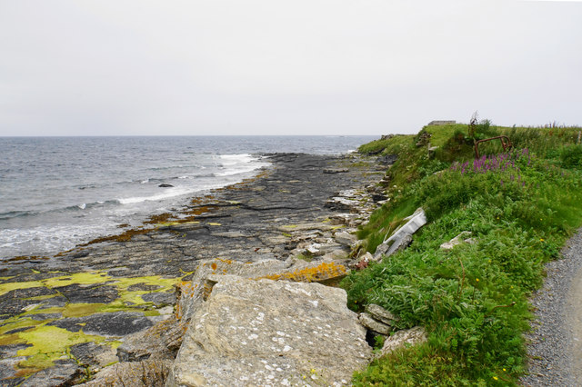
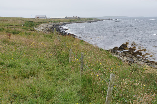
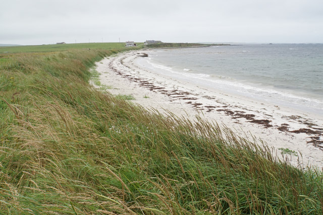
The rugged and rocky nature of Back Geo is a result of the erosive forces of the sea, which have sculpted the landscape over thousands of years. The headland is characterized by steep cliffs that rise dramatically from the sea, reaching heights of up to 30 meters in some areas. These cliffs are composed of volcanic rocks, such as basalt, which are remnants of ancient volcanic activity in the region.

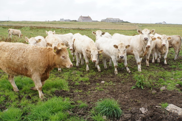
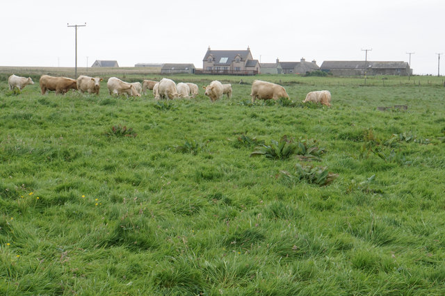
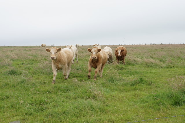
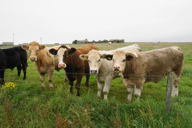
Back Geo provides a habitat for a variety of coastal plant and animal species, including seabirds like fulmars, kittiwakes, and guillemots. The surrounding waters are also rich in marine life, with seals and dolphins occasionally spotted in the area.

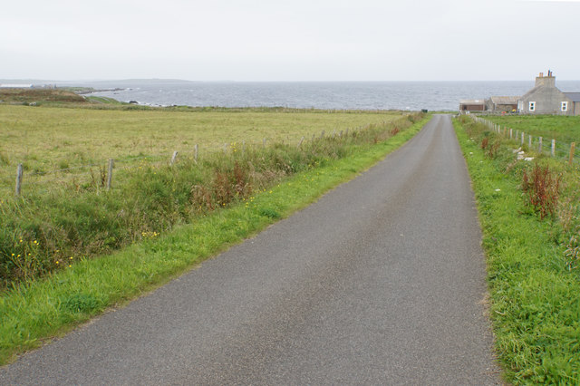
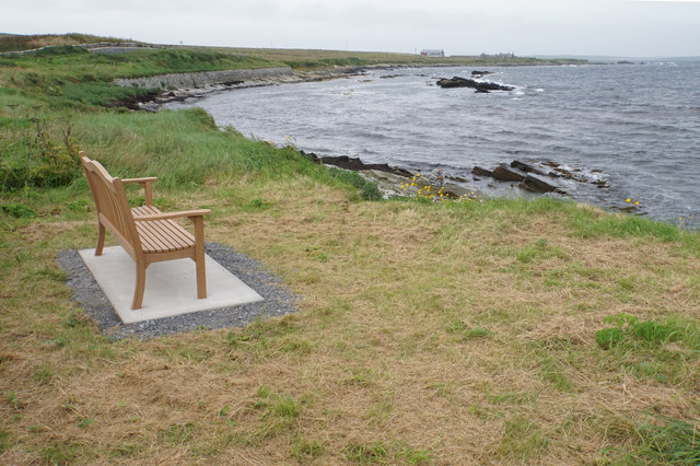
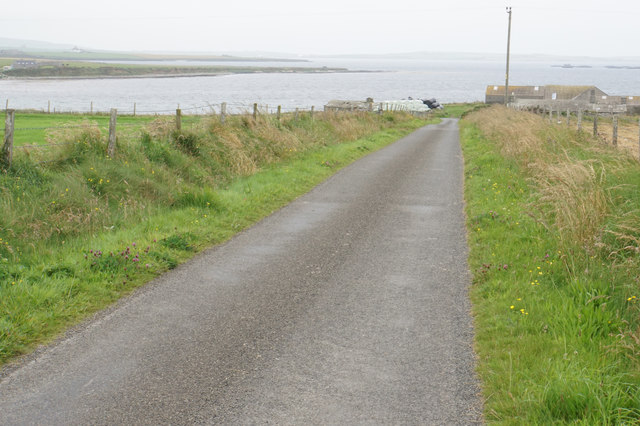
Visitors to Back Geo can enjoy breathtaking views of the sea and the rugged coastline, making it a popular spot for photography and nature enthusiasts. The headland is easily accessible by foot, with a well-maintained coastal path that allows visitors to explore the area's unique geological features.

Overall, Back Geo is a captivating coastal feature in Orkney, offering both natural beauty and a glimpse into the region's geological history.

If you have any feedback on the listing, please let us know in the comments section below.
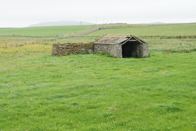
Back Geo Images

Images are sourced within 2km of 59.303356/-2.9033163 or Grid Reference HY4846. Thanks to Geograph Open Source API. All images are credited.

Old Milestone by the B9066, near Loch of Swartmill, Westray Parish By the B9066, in parish of Westray (District), Moss brae, opposite red telephone box.

Surveyed

Milestone Society National ID: OR_WYPWRP03.
Old Milestone by the B9066, near Loch of Swartmill, Westray Parish
By the B9066, in parish of Westray (District), Moss brae, opposite red telephone box. Surveyed Milestone Society National ID: OR_WYPWRP03.
Lively cattle in Skelwick South Langskaill Farm is on top of the rise behind.
Lively cattle in Skelwick
South Langskaill Farm is on top of the rise behind.
Road to Surrigarth The bay of Skel Wick is opening up ahead.
Road to Surrigarth
The bay of Skel Wick is opening up ahead.
Bench near Surrigarth Looking out over Skel Wick.
Bench near Surrigarth
Looking out over Skel Wick.
Point of Furrigeo A low headland on the southern side of Skel Wick.
Point of Furrigeo
A low headland on the southern side of Skel Wick.
Cattle at Surrigarth Looking inland towards Kirkhouse Farm.
Cattle at Surrigarth
Looking inland towards Kirkhouse Farm.
Village shop at Surrigarth Very well stocked for its size, and it has a good range of local bottled beer. The porch is fairly recent.
Village shop at Surrigarth
Very well stocked for its size, and it has a good range of local bottled beer. The porch is fairly recent.
Coast near Ramsay Looking towards Ramsay Ness on the side of Skel Wick.
Coast near Ramsay
Looking towards Ramsay Ness on the side of Skel Wick.
Cattle near Ramsay A fairly exposed position on the eastern side of Westray.
Cattle near Ramsay
A fairly exposed position on the eastern side of Westray.
Cattle on the move These ones were very eager to see me.
Cattle on the move
These ones were very eager to see me.
Cattle near North Tuan The farm behind, North Tuan, is now a ruin.
Cattle near North Tuan
The farm behind, North Tuan, is now a ruin.
Cut grass near Thorn Farm Looking out towards Spo Ness, with Papa Westray in the distance.
Cut grass near Thorn Farm
Looking out towards Spo Ness, with Papa Westray in the distance.
Road to Swartmill The Bay of Swartmill is laid out ahead. In the distance is the northern end of Westray.
Road to Swartmill
The Bay of Swartmill is laid out ahead. In the distance is the northern end of Westray.
Pile of silage bales at Swartmill Farm The pile was emitting a strong aroma.
Pile of silage bales at Swartmill Farm
The pile was emitting a strong aroma.
Bay of Swartmill A white sandy beach with the tide currently fairly high.
Bay of Swartmill
A white sandy beach with the tide currently fairly high.
Outflow from the Loch of Swartmill The inland loch drains into the sea here.
Outflow from the Loch of Swartmill
The inland loch drains into the sea here.
Barn near Smithquoy
Barn near Smithquoy
Coast below Smithquoy Looking to the northern end of the Bay of Swartmill.
Coast below Smithquoy
Looking to the northern end of the Bay of Swartmill.
Show me another place!

Back Geo is located at Grid Ref: HY4846 (Lat: 59.303356, Lng: -2.9033163)

Unitary Authority: Orkney Islands

Police Authority: Highlands and Islands

What 3 Words

///part.digits.embellish. Near Pierowall, Orkney Islands

Related Wikis

Westside Church

Westside Church, (also known as Cross Kirk), is a ruined 12th century church located on the island of Westray in Orkney, Scotland. Archaeological excavations...

Holland House, Papa Westray

Holland Farm is a historic farm complex located on the island of Papa Westray in Orkney, Scotland. The two-storey harled flagstone house with crow-stepped...

Knap of Howar

The Knap of Howar () on the island of Papa Westray in Orkney, Scotland is a Neolithic farmstead which may be the oldest preserved stone house in northern...

Lady Kirk

The Lady Kirk (or St Mary's Kirk) at Pierowall is a ruined 17th-century church on the island of Westray, in Orkney, Scotland. The church was built in 1674...

Papa Westray

Papa Westray () (Scots: Papa Westree), also known as Papay, is one of the Orkney Islands in Scotland, United Kingdom. The fertile soil has long been a...

Papa Westray Airport

Papa Westray Airport (IATA: PPW, ICAO: EGEP) is located 22 NM (41 km; 25 mi) north of Kirkwall Airport on Papa Westray, Orkney Islands, Scotland. The facility...

Westray

Westray (, Scots: Westree) is one of the Orkney Islands in Scotland, with a usual resident population of just under 600 people. Its main village is Pierowall...

Pierowall

Pierowall is a village of Westray in the Orkney Islands, off the coast of the northern Scottish mainland. The village is the island's largest settlement...

Nearby Amenities

Located within 500m of 59.303356,-2.9033163
Spo Ness
Place: locality
Lat/Long: 59.3035894/-2.9049186
Generator Method: wind_turbine
Generator Source: wind
Power: generator
Lat/Long: 59.2995253/-2.9059136
Bay of Havey
Natural: bay
Lat/Long: 59.299486/-2.8990603
Power: pole
Lat/Long: 59.3000316/-2.9069266
The data included in this document is from www.openstreetmap.org. The data is made available under ODbL.

Have you been to Back Geo?

Leave your review of Back Geo below (or comments, questions and feedback).