Bay of Creekland
Bay in Orkney
Scotland
Bay of Creekland
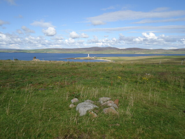
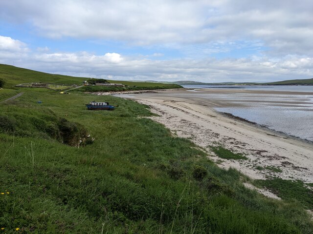
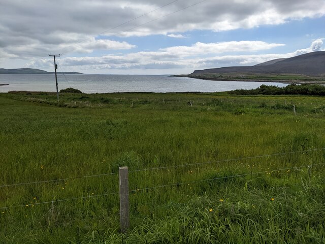
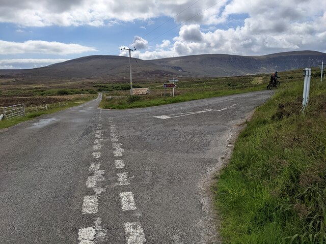
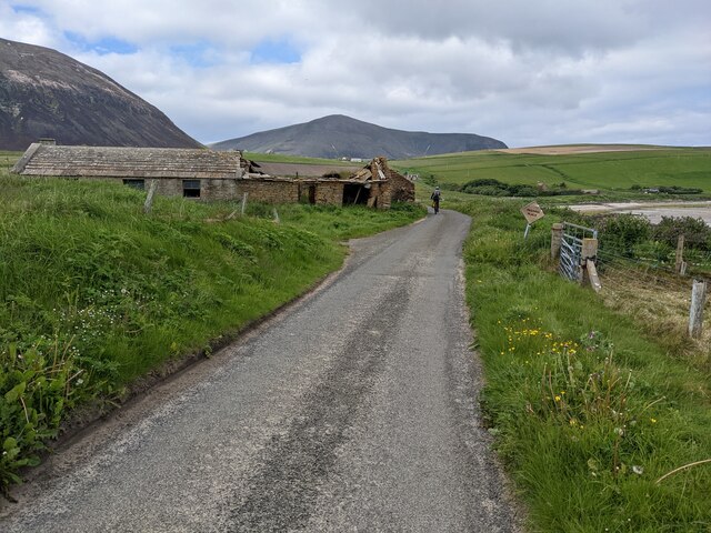
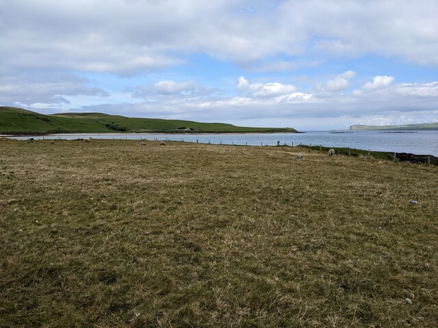
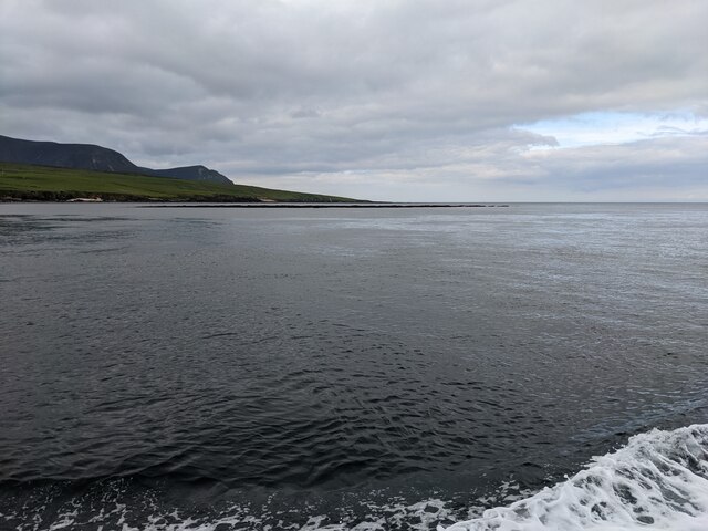
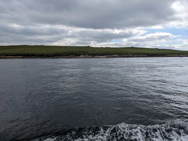
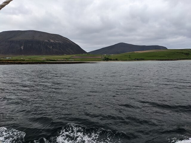
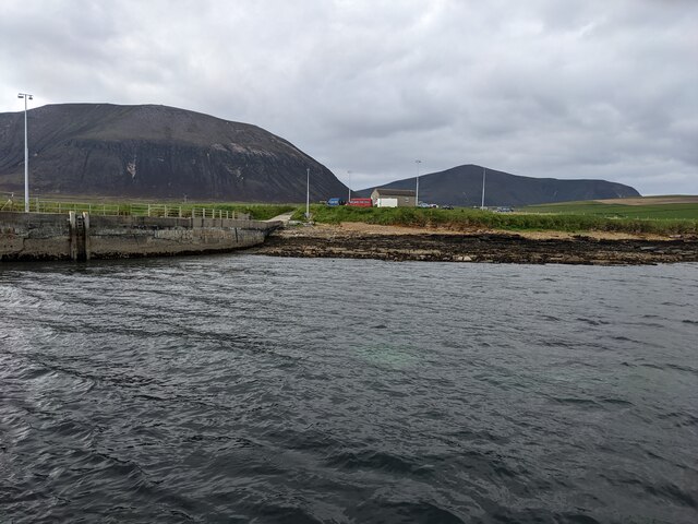
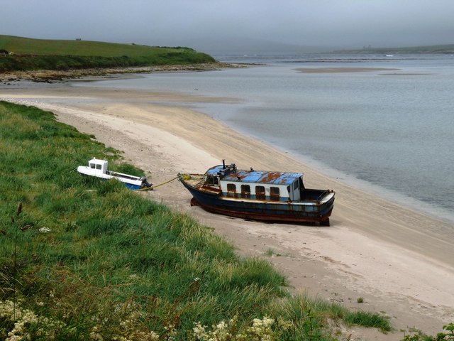
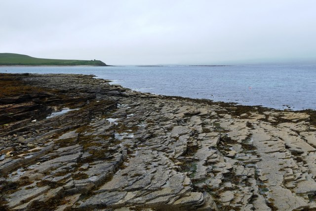
The Bay of Creekland, located in the Orkney Islands, is a picturesque coastal area renowned for its natural beauty and historical significance. Situated on the northeastern coast of Scotland, the bay stretches over a length of approximately 6 kilometers (3.7 miles) and is flanked by stunning cliffs and rolling hills.
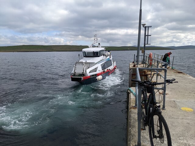
The bay is characterized by its pristine sandy beaches, which are popular among locals and visitors alike. The crystal-clear waters offer opportunities for various water activities, including swimming, snorkeling, and kayaking. The bay is also home to a diverse range of marine life, making it a haven for nature enthusiasts and birdwatchers. Seals, dolphins, and a variety of seabirds can often be spotted in the area.
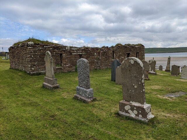
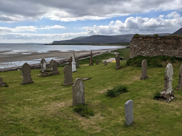
Creekland Bay is steeped in history, with numerous ancient and archaeological sites surrounding its vicinity. The nearby Skara Brae, a Neolithic settlement dating back over 5,000 years, is a UNESCO World Heritage Site and offers a fascinating glimpse into prehistoric life. The Ring of Brodgar, a stone circle, and the Standing Stones of Stenness are also nearby and attract visitors from around the world.
The Bay of Creekland provides a tranquil and scenic escape, with its unspoiled landscapes, rich wildlife, and intriguing historical sites. Whether exploring the ancient ruins, enjoying a leisurely stroll along the shoreline, or simply taking in the breathtaking views, visitors to the bay are sure to be captivated by its beauty and charm.
If you have any feedback on the listing, please let us know in the comments section below.
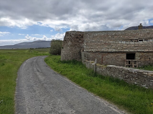
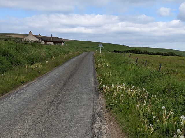
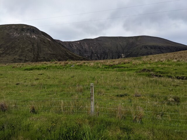
Bay of Creekland Images
Images are sourced within 2km of 58.921407/-3.3191283 or Grid Reference HY2404. Thanks to Geograph Open Source API. All images are credited.
Bay of Creekland is located at Grid Ref: HY2404 (Lat: 58.921407, Lng: -3.3191283)
Unitary Authority: Orkney Islands
Police Authority: Highlands and Islands
What 3 Words
///starlight.damp.branching. Near Stromness, Orkney Islands
Nearby Locations
Related Wikis

Graemsay
Graemsay () is an island in the western approaches to Scapa Flow, in the Orkney Islands of Scotland. The island has two lighthouses. Graemsay lies within...

Ward Hill, Hoy
Ward Hill is a hill on the island of Hoy in Orkney, Scotland. It lies at the north of the island between Moaness and Rackwick, and is the highest point...

Hoy Sound
Hoy Sound is a body of salt water subject to tidal currents situated south of the town of Stromness in the Orkney archipelago of Scotland. The sound lies...

Dwarfie Stane
The Dwarfie Stane is a megalithic chambered tomb carved out of a titanic block of Devonian Old Red Sandstone located in a steep-sided glaciated valley...
Nearby Amenities
Located within 500m of 58.921407,-3.3191283Have you been to Bay of Creekland?
Leave your review of Bay of Creekland below (or comments, questions and feedback).