Hestor
Beach in Orkney
Scotland
Hestor
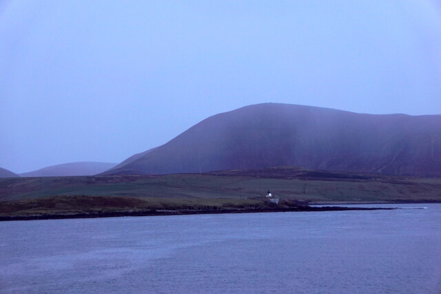
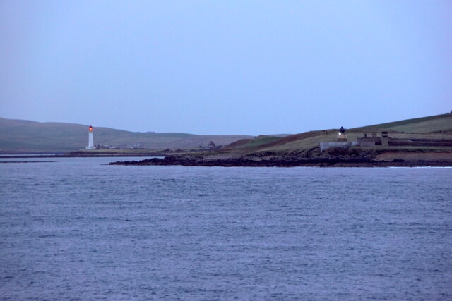
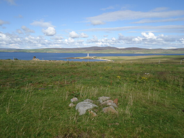
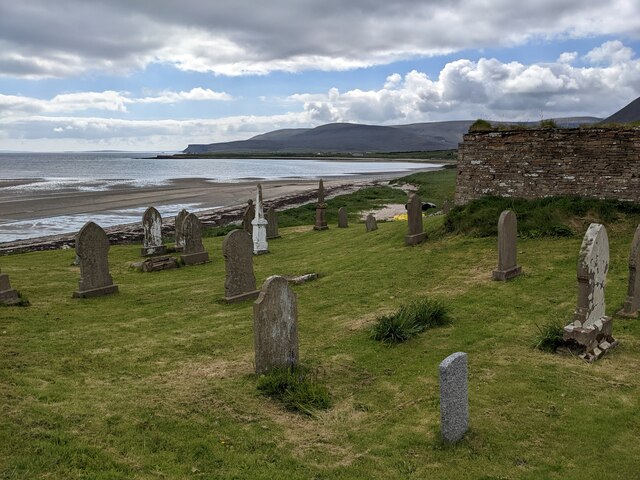
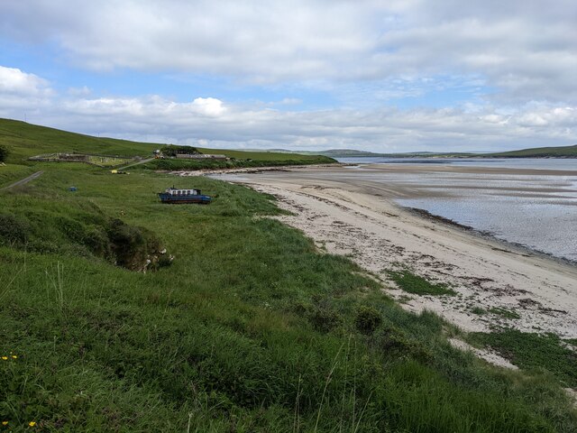
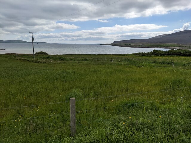
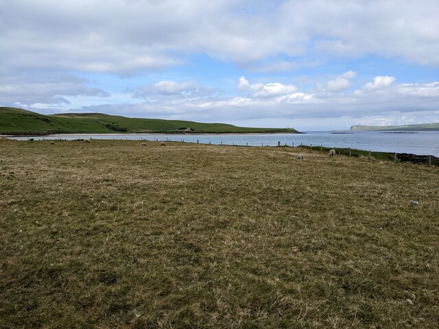
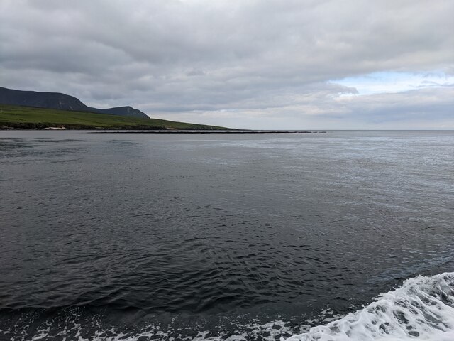
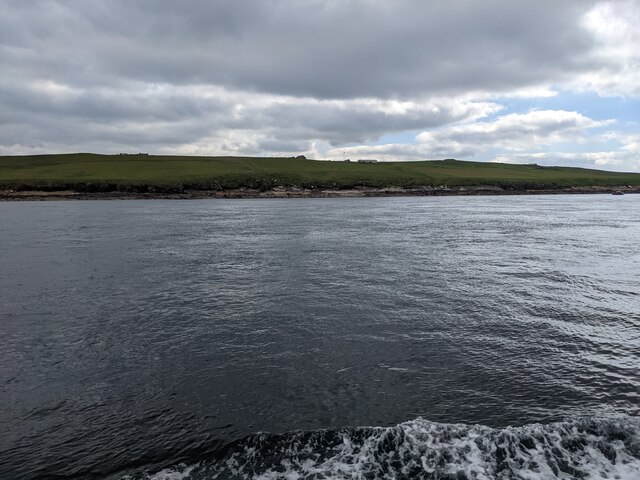
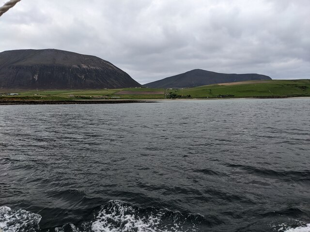
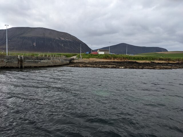
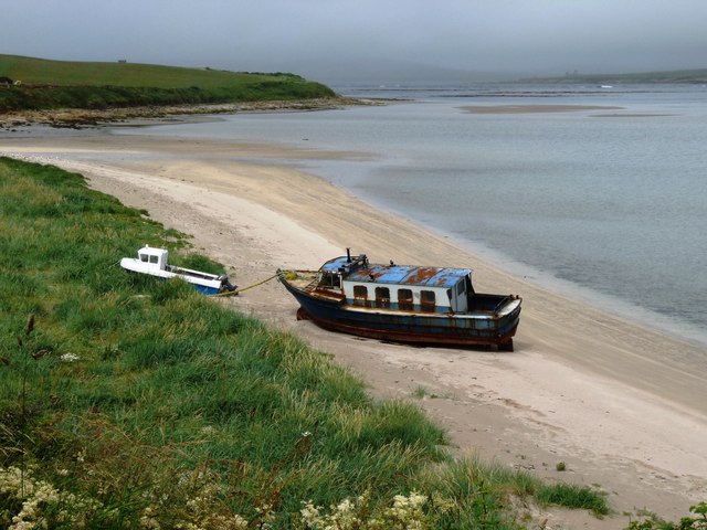
Hestor, Orkney is a picturesque beach located on the west coast of the Orkney Islands, Scotland. With its stunning views and serene atmosphere, it attracts locals and tourists alike. The beach is situated in a natural bay, surrounded by rolling green hills and cliffs, providing a sense of isolation and tranquility.
Hestor Beach is known for its pristine golden sand and crystal-clear turquoise waters. The beach stretches for approximately 1 kilometer, offering plenty of space for visitors to relax, sunbathe, and enjoy a leisurely walk along the shore. The sand is soft and inviting, making it a perfect spot for building sandcastles or simply lounging with a book.
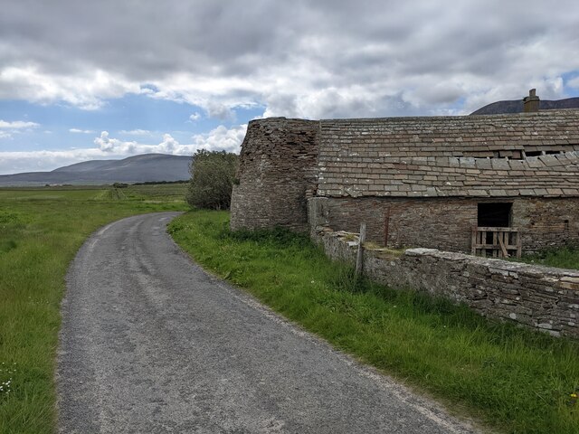
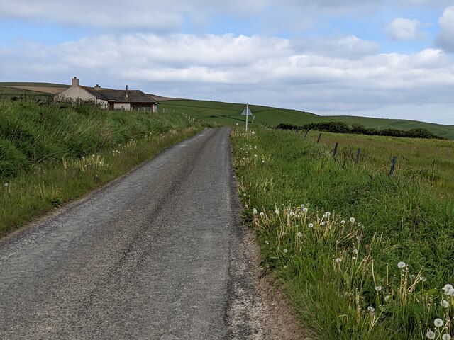
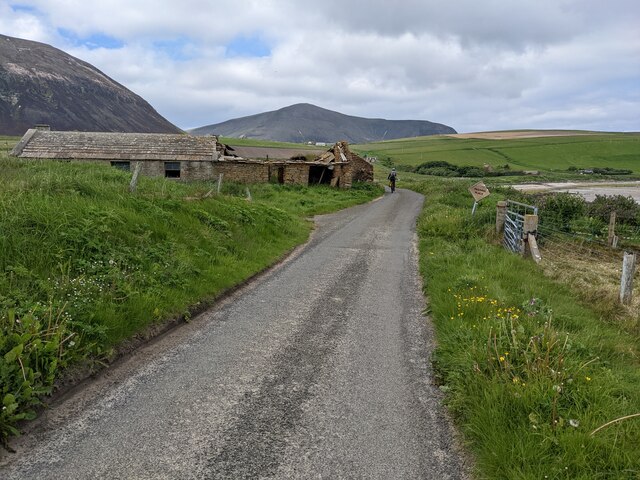
As a result of its remote location, Hestor Beach remains unspoiled and uncrowded, providing visitors with a sense of privacy and seclusion. The lack of commercial development adds to its natural beauty, allowing visitors to fully immerse themselves in the peaceful surroundings.
The beach also offers opportunities for various outdoor activities. The calm waters are ideal for swimming, paddleboarding, and kayaking, while the nearby cliffs provide a perfect spot for birdwatching. Hikers can explore the surrounding hills and take in panoramic views of the coastline.
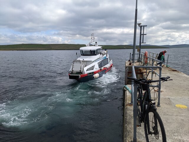
Facilities at Hestor Beach are minimal, with no shops or cafes nearby. Visitors are advised to bring their own food, drinks, and other essentials. However, public toilets and car parking facilities are available nearby.
Overall, Hestor, Orkney (Beach) is a hidden gem, offering a tranquil escape from the hustle and bustle of daily life. Its natural beauty and peaceful atmosphere make it a must-visit destination for nature lovers and those seeking a quiet retreat.
If you have any feedback on the listing, please let us know in the comments section below.
Hestor Images
Images are sourced within 2km of 58.924933/-3.3070694 or Grid Reference HY2404. Thanks to Geograph Open Source API. All images are credited.

Hestor is located at Grid Ref: HY2404 (Lat: 58.924933, Lng: -3.3070694)
Unitary Authority: Orkney Islands
Police Authority: Highlands and Islands
What 3 Words
///blankets.masses.dates. Near Stromness, Orkney Islands
Nearby Locations
Related Wikis

Graemsay
Graemsay () is an island in the western approaches to Scapa Flow, in the Orkney Islands of Scotland. The island has two lighthouses. Graemsay lies within...

Hoy Sound
Hoy Sound is a body of salt water subject to tidal currents situated south of the town of Stromness in the Orkney archipelago of Scotland. The sound lies...

Ward Hill, Hoy
Ward Hill is a hill on the island of Hoy in Orkney, Scotland. It lies at the north of the island between Moaness and Rackwick, and is the highest point...

Stromness Museum
Stromness Museum is a small independent museum in the town of Stromness in Orkney, Scotland focusing on the town's connections to maritime and natural...
Nearby Amenities
Located within 500m of 58.924933,-3.3070694Have you been to Hestor?
Leave your review of Hestor below (or comments, questions and feedback).