Irony Geo
Coastal Feature, Headland, Point in Orkney
Scotland
Irony Geo
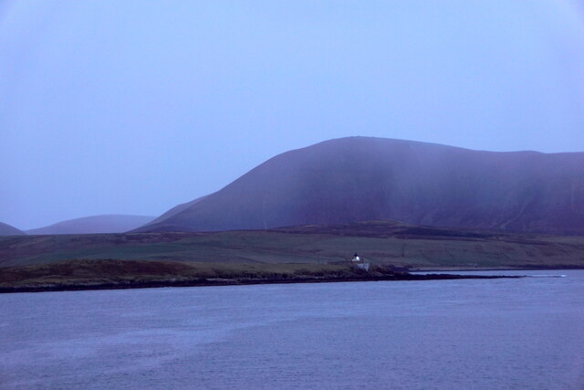
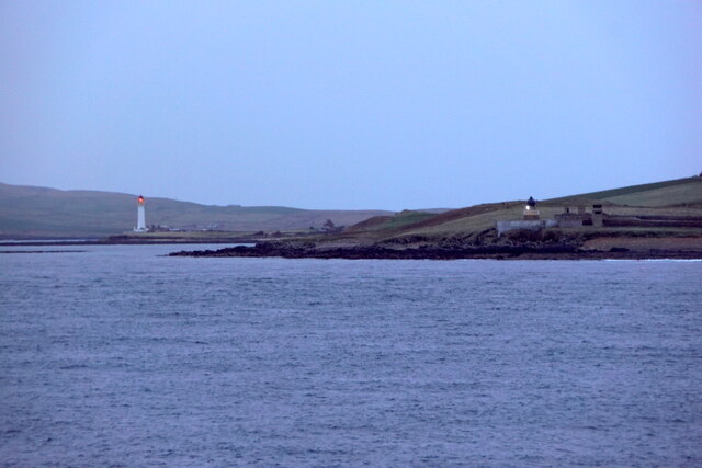
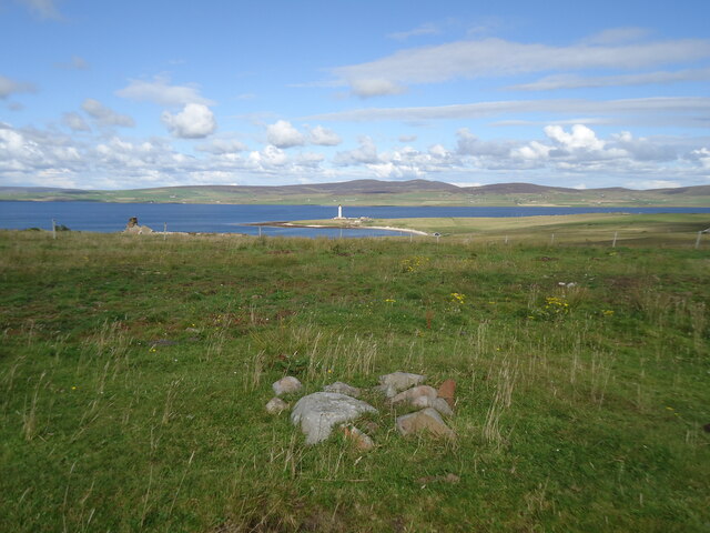
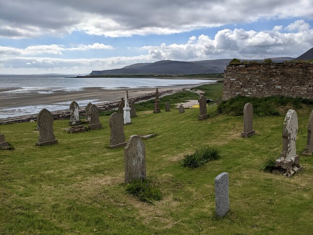
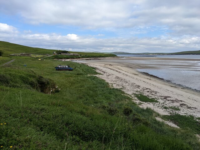
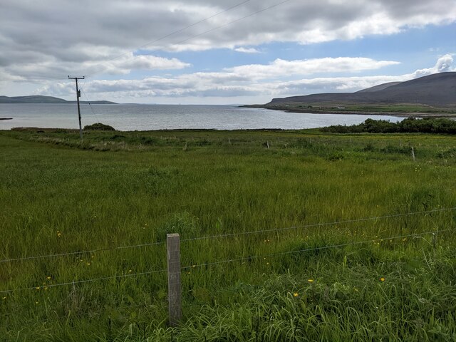
Irony Geo is a coastal feature located in Orkney, an archipelago situated off the northeastern coast of Scotland. It is specifically categorized as a headland or point, characterized by its unique geological formations and scenic beauty. Irony Geo is situated on the eastern coast of the island of Mainland, approximately 2.5 miles north of the town of Stromness.
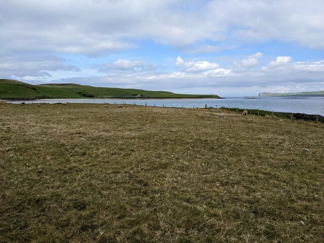
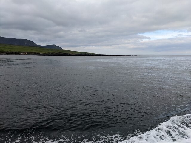
This coastal feature is renowned for its dramatic cliffs that stand tall against the relentless waves of the North Sea. The cliffs are composed of layered sedimentary rocks, showcasing various colors and textures, which are a testament to the geological history of the area. Irony Geo offers spectacular panoramic views of the surrounding rugged coastline, with its high cliffs providing an ideal vantage point to observe the vast expanse of the sea.
Visitors to Irony Geo can witness the powerful forces of nature as the waves crash against the cliffs, creating a mesmerizing sight and the occasional spray of sea mist. The headland serves as a habitat for various seabird species, such as puffins, fulmars, and kittiwakes, making it a popular spot for birdwatching enthusiasts.
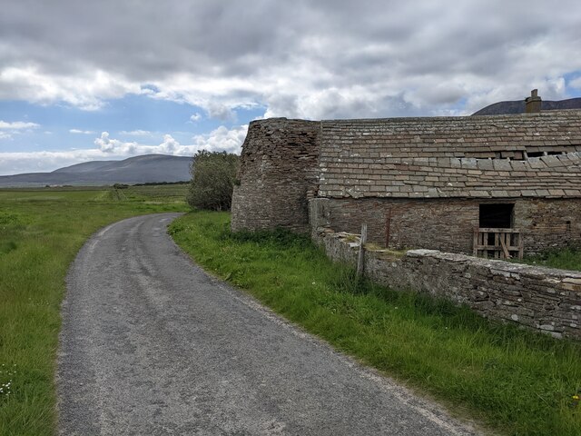
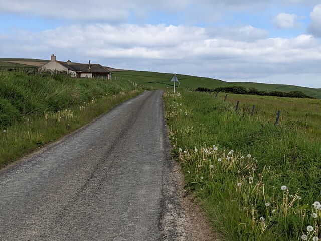
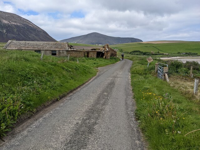
Access to Irony Geo is possible via a footpath that leads from the nearby coastal road, providing a relatively easy and enjoyable walk for visitors. The location is also equipped with safety barriers and signage to ensure the well-being of visitors, due to the steep cliffs and potentially hazardous conditions during inclement weather.
Irony Geo is a captivating coastal feature that exemplifies the natural beauty and geological diversity of Orkney, attracting visitors from around the world who seek to immerse themselves in the breathtaking scenery and experience the raw power of the North Sea.
If you have any feedback on the listing, please let us know in the comments section below.
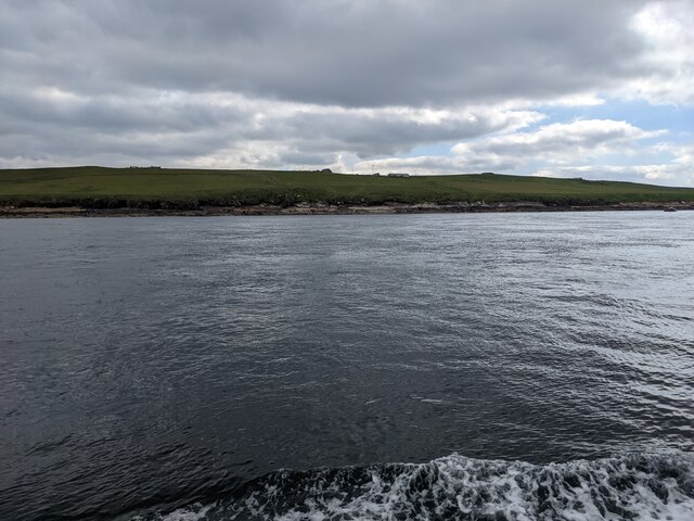
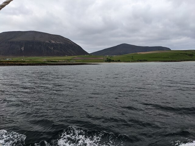
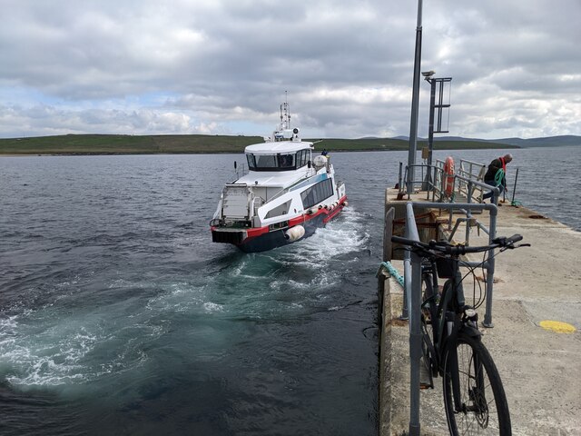
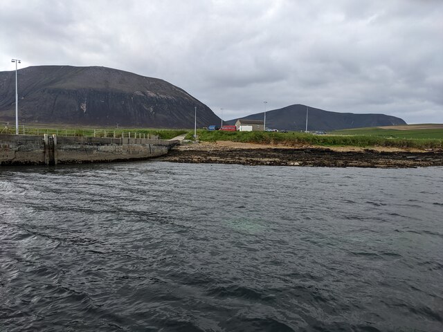
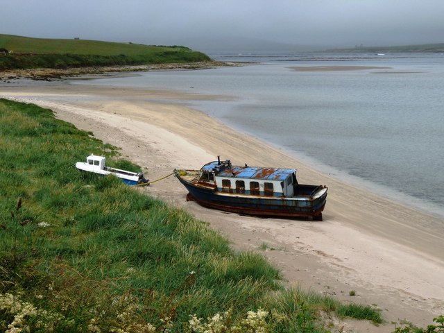
Irony Geo Images
Images are sourced within 2km of 58.92543/-3.3076093 or Grid Reference HY2404. Thanks to Geograph Open Source API. All images are credited.

Irony Geo is located at Grid Ref: HY2404 (Lat: 58.92543, Lng: -3.3076093)
Unitary Authority: Orkney Islands
Police Authority: Highlands and Islands
What 3 Words
///workbook.luring.snares. Near Stromness, Orkney Islands
Nearby Locations
Related Wikis

Graemsay
Graemsay () is an island in the western approaches to Scapa Flow, in the Orkney Islands of Scotland. The island has two lighthouses. Graemsay lies within...

Hoy Sound
Hoy Sound is a body of salt water subject to tidal currents situated south of the town of Stromness in the Orkney archipelago of Scotland. The sound lies...

Ward Hill, Hoy
Ward Hill is a hill on the island of Hoy in Orkney, Scotland. It lies at the north of the island between Moaness and Rackwick, and is the highest point...

Stromness Museum
Stromness Museum is a small independent museum in the town of Stromness in Orkney, Scotland focusing on the town's connections to maritime and natural...
Nearby Amenities
Located within 500m of 58.92543,-3.3076093Have you been to Irony Geo?
Leave your review of Irony Geo below (or comments, questions and feedback).