Kirkandrews Bay
Bay in Kirkcudbrightshire
Scotland
Kirkandrews Bay
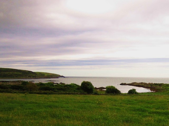
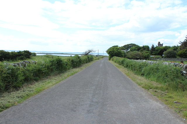
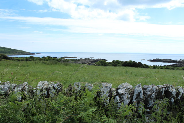
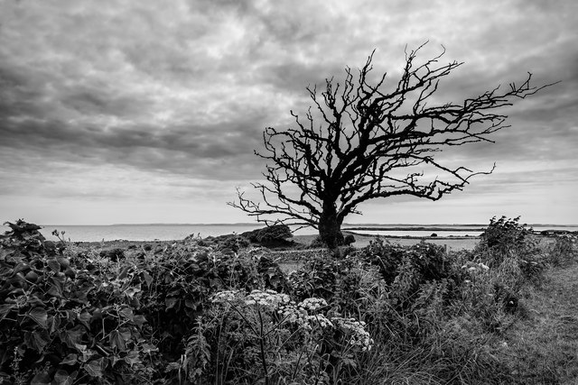
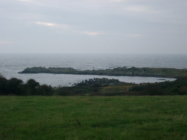
Kirkandrews Bay, located in Kirkcudbrightshire, Scotland, is a picturesque bay renowned for its natural beauty and tranquil surroundings. Situated on the Solway Firth, the bay offers stunning views of the surrounding coastline and the distant hills.
The bay is characterized by its pristine sandy beach, which stretches for approximately one mile. The beach is a popular destination for both locals and tourists, offering a peaceful retreat and an opportunity to enjoy the tranquility of the Scottish coast. During low tide, the bay reveals expansive mudflats, which attract a diverse array of bird species, making it a haven for birdwatchers.
The bay is also home to an abundance of marine life, with seals often spotted basking on the rocks and dolphins occasionally seen frolicking in the waters. Fishing enthusiasts are drawn to the bay for its excellent fishing opportunities, particularly for sea trout and flounder.
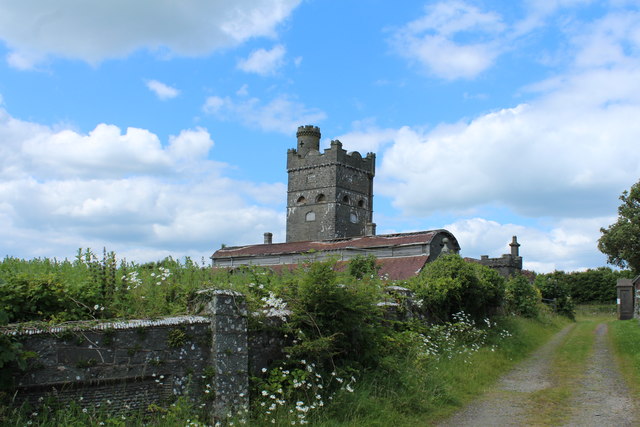
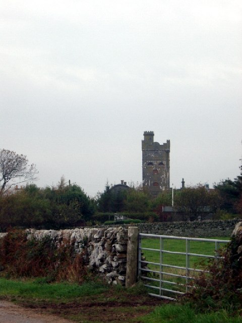
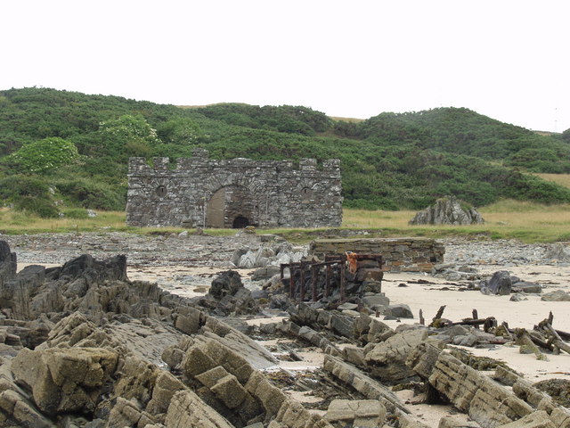
Surrounding the bay, visitors will find rolling farmland and lush greenery, contributing to the bay's idyllic and serene atmosphere. The area is rich in history, with the ruins of a 16th-century tower house, known as Kirkandrews Tower, perched on a nearby headland, adding a touch of historical interest to the landscape.
For those seeking outdoor activities, the bay provides ample opportunities for walking, cycling, and picnicking. The peaceful surroundings and breathtaking vistas make it an ideal spot for nature lovers and those in search of a tranquil escape from the hustle and bustle of everyday life.
In summary, Kirkandrews Bay in Kirkcudbrightshire offers a stunning natural landscape, a beautiful sandy beach, diverse wildlife, and a rich historical heritage, making it a must-visit destination for those exploring the Scottish coastline.
If you have any feedback on the listing, please let us know in the comments section below.
Kirkandrews Bay Images
Images are sourced within 2km of 54.806474/-4.1829311 or Grid Reference NX5947. Thanks to Geograph Open Source API. All images are credited.

Kirkandrews Bay is located at Grid Ref: NX5947 (Lat: 54.806474, Lng: -4.1829311)
Unitary Authority: Dumfries and Galloway
Police Authority: Dumfries and Galloway
What 3 Words
///alarming.magical.backswing. Near Kirkcudbright, Dumfries & Galloway
Nearby Locations
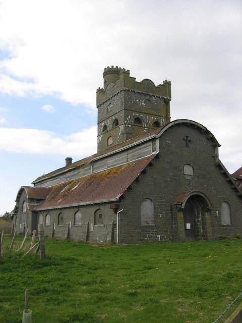
Related Wikis

Kirkandrews, Dumfries and Galloway
Kirkandrews, sometimes written as Kirkanders in older documents, is a coastal hamlet about 9 kilometres (6 mi) west-southwest of Kirkcudbright in Dumfries...

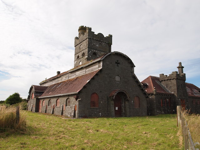
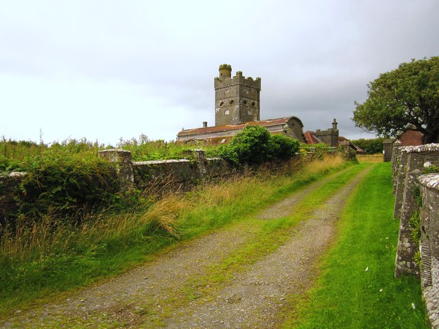
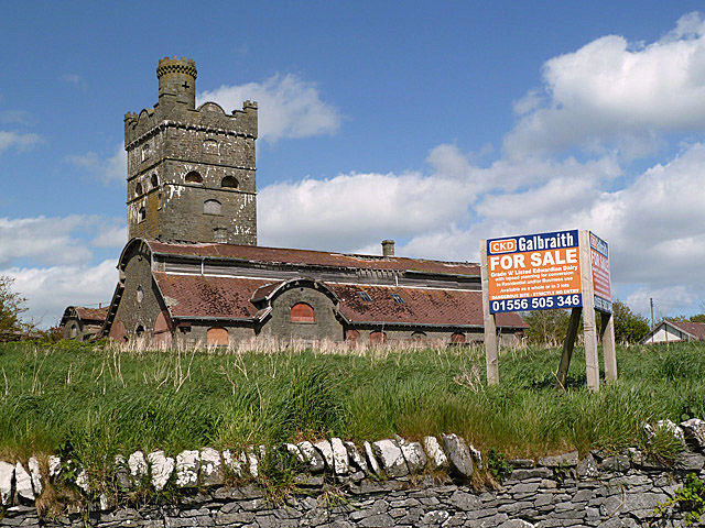
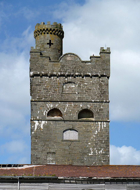
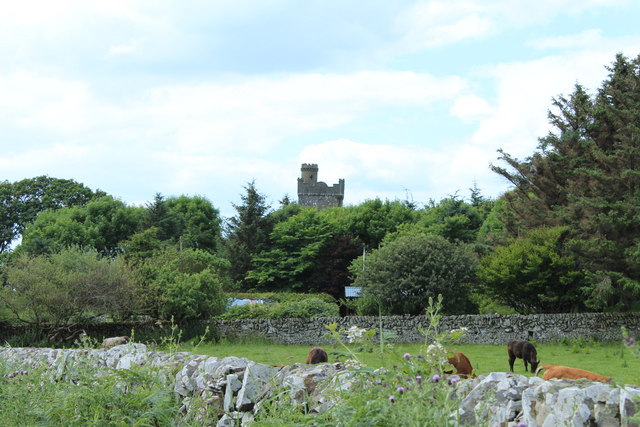
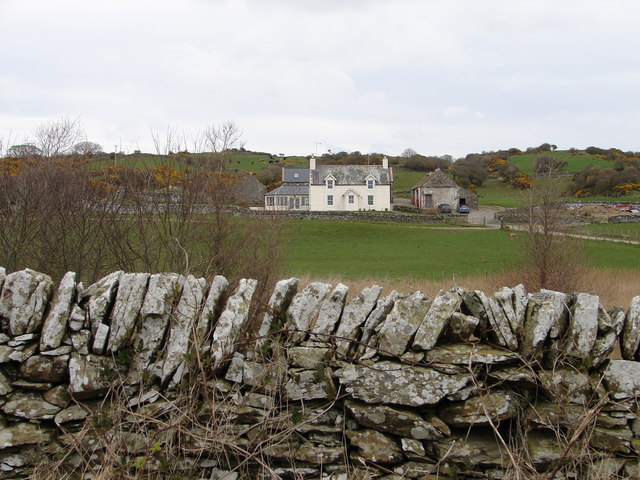
Corseyard Farm
Corseyard Farm, known locally as the Coo Palace and now marketed under that name, is an architecturally unusual dairy farm near Kirkandrews in Scotland...

Islands of Fleet
The Islands of Fleet are a group of small islands in Galloway, Scotland. They are in Fleet Bay, which is part of Wigtown Bay, and is in turn part of the...

Plunton Castle
Plunton Castle is a ruined L-plan tower house between Kirkandrews and Gatehouse of Fleet in Dumfries and Galloway, Scotland. Built around 1575 for the...

Borgue, Dumfries and Galloway
Borgue (pronounced /ˈbɔrɡ/; Scottish Gaelic: Borgh) is a village and parish in the Stewartry of Kirkcudbright in Dumfries and Galloway, Scotland. It lies...

Borness
Borness is a farm of around 1550 acres on the coast of Borgue Parish in the Stewartry of Kirkcudbrightshire (now part of Dumfries and Galloway). It is...

Borgue Old House
Borgue Old House is a ruined Y-plan house, about 300 metres (0.2 mi) east of Borgue in Dumfries and Galloway, Scotland. Built in 1680, but probably incorporating...

Water of Fleet
The Water of Fleet is a river in Scotland flowing into Fleet Bay on the Solway Firth. Its two tributaries are the Big Water of Fleet, which begins around...
Related Videos

Spring Turnout 2021 at The Ethical Dairy
For the past few years we've filmed spring turnout, to share the joy and excitement of the cows going out to grass with our ...
Nearby Amenities
Located within 500m of 54.806474,-4.1829311Have you been to Kirkandrews Bay?
Leave your review of Kirkandrews Bay below (or comments, questions and feedback).