Cambuslochy Bay

Bay in Inverness-shire

Scotland

Cambuslochy Bay

Bona Lighthouse - 1976 Loch Ness, Lochend, MV 'Scot II', Bona Lighthouse.
Bona Lighthouse - 1976 Credit: Helmut Zozmann

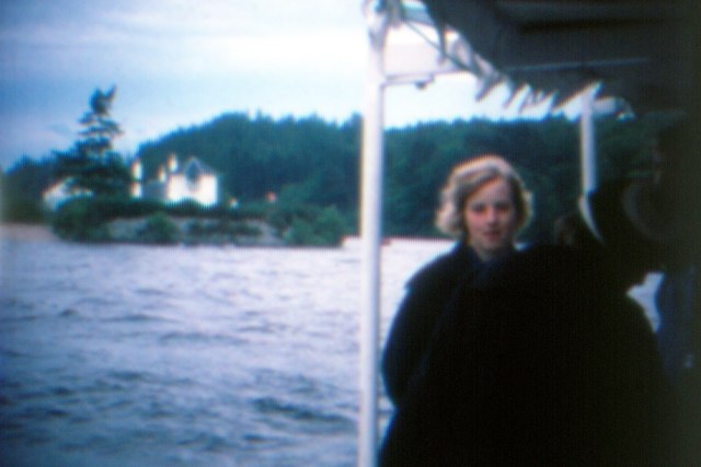
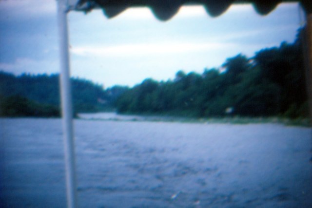
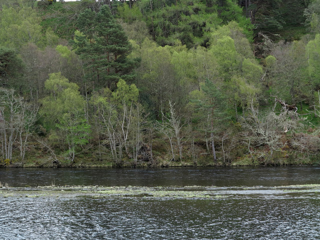
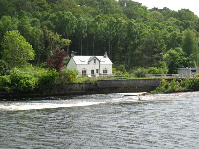
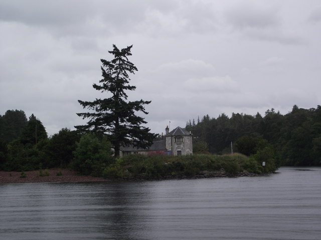
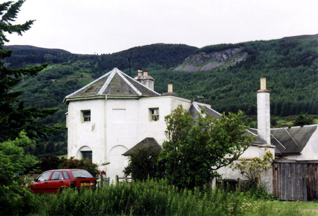
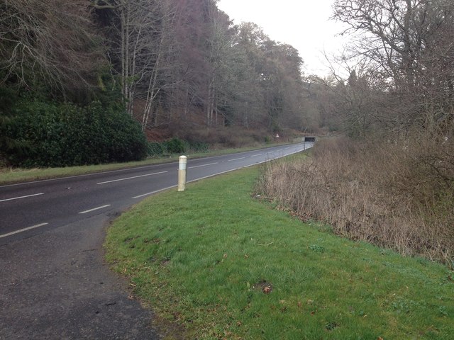
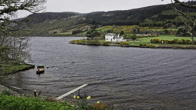
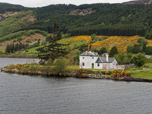
Cambuslochy Bay is a picturesque coastal area located in Inverness-shire, Scotland. Situated on the northeastern shore of Loch Ness, it offers visitors stunning views and a serene environment. The bay is known for its natural beauty and tranquil atmosphere, making it a popular destination for tourists and locals alike.

The bay's shoreline is characterized by a mixture of sandy and pebbly beaches, providing ample space for relaxation and recreational activities. The crystal-clear waters of Loch Ness offer opportunities for swimming and water sports, making it an ideal spot for outdoor enthusiasts. The surrounding landscape is dominated by rolling hills and lush greenery, creating a peaceful and idyllic setting.

The bay is also home to a rich and diverse ecosystem, with various species of birds, fish, and wildlife inhabiting the area. Birdwatchers will be delighted to spot a variety of waterfowl, including ducks, geese, and swans, while the Loch itself is renowned for its population of elusive and legendary creatures, such as the Loch Ness Monster.

Visitors to Cambuslochy Bay can take advantage of the nearby amenities, including parking facilities, picnic areas, and walking trails. The bay is also conveniently located close to the village of Drumnadrochit, where visitors can find accommodations, restaurants, and shops.

Overall, Cambuslochy Bay offers a unique and enchanting experience for nature lovers and those seeking tranquility. Its stunning scenery, diverse wildlife, and proximity to Loch Ness make it a must-visit destination for anyone exploring the Inverness-shire region.

If you have any feedback on the listing, please let us know in the comments section below.

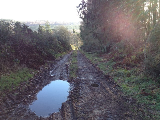
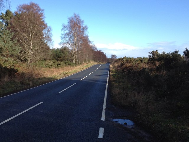
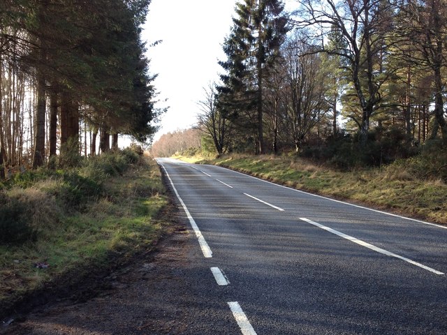
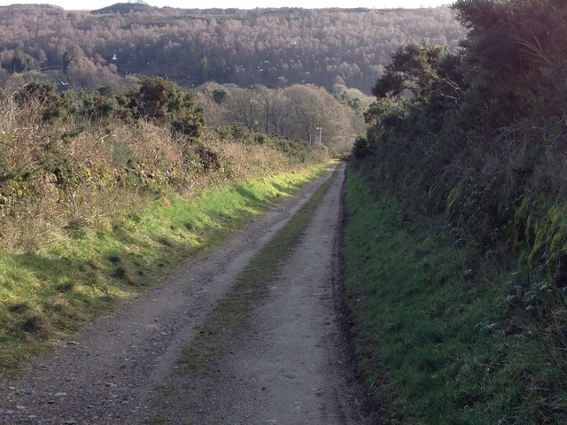
Cambuslochy Bay Images

Images are sourced within 2km of 57.417719/-4.3213269 or Grid Reference NH6038. Thanks to Geograph Open Source API. All images are credited.

Bona Lighthouse - 1976 Loch Ness, Lochend, MV 'Scot II', Bona Lighthouse.
Bona Lighthouse - 1976
Loch Ness, Lochend, MV 'Scot II', Bona Lighthouse.
Caledonian Canal - 1976 Dochgarroch, Caledonian Canal, River Ness Weir.
Caledonian Canal - 1976
Dochgarroch, Caledonian Canal, River Ness Weir.
Two waterways with trees beyond The division between the two waterways is apparent. The farther one is the River Ness soon after its leaving of Loch Dochfour; the nearer one is the start of a stretch of the Caledonian Canal as it heads towards Inverness. Shortly before the image was recorded two fishermen walked the way between the two channels seeming almost to be walking on water!
Two waterways with trees beyond
The division between the two waterways is apparent. The farther one is the River Ness soon after its leaving of Loch Dochfour; the nearer one is the start of a stretch of the Caledonian Canal as it heads towards Inverness. Shortly before the image was recorded two fishermen walked the way between the two channels seeming almost to be walking on water!
Graveyard of Old Church of Bona Gravestones at the graveyard of the 'Old Church of Bona', at Kirkton
Graveyard of Old Church of Bona
Gravestones at the graveyard of the 'Old Church of Bona', at Kirkton
River Ness The start of the River Ness as the water passes over the weir from Loch Dochfour.
River Ness
The start of the River Ness as the water passes over the weir from Loch Dochfour.
Bona Lighthouse marks the navigation from Loch Ness to Loch Dochfour
Bona Lighthouse Lochend Category B Listed octagonal lighthouse by Thomas Telford around 1815 to guide craft into Caledonian Canal from Loch Ness but contemporary drawings describe it as a dwelling house and store. It is likely that it didn't become a lighthouse until 1847-8. The small quay nearby is the possible site of the Bona Ferry.
Bona Lighthouse Lochend
Category B Listed octagonal lighthouse by Thomas Telford around 1815 to guide craft into Caledonian Canal from Loch Ness but contemporary drawings describe it as a dwelling house and store. It is likely that it didn't become a lighthouse until 1847-8. The small quay nearby is the possible site of the Bona Ferry.
Boat remains Loch Dochfour
Farm track to Kinchyle
B862 near Scaniport
B862 near Scaniport
B862 near Scaniport
B862 near Scaniport
Farm road to Antfield
A82 at Kirkton
A82 at Kirkton
Bona Lighthouse restoration Bona Lighthouse is at the northern end of Loch Ness, where the narrows join to Loch Dochfour, linking to the Caledonian Canal. It was designed by Thomas Telford, and built circa 1815. It is a Category B listed building, see the Historic Scotland report: <span class="nowrap"><a title="http://data.historic-scotland.gov.uk/pls/htmldb/f?p=2200:15:0::::BUILDING:8034" rel="nofollow ugc noopener" href="http://data.historic-scotland.gov.uk/pls/htmldb/f?p=2200:15:0::::BUILDING:8034">Link</a><img style="margin-left:2px;" alt="External link" title="External link - shift click to open in new window" src="https://s1.geograph.org.uk/img/external.png" width="10" height="10"/></span>

Over the years the building has been used as a store, stables and a dwelling. The octagonal tower is similar to several toll houses designed by Telford, so it has been suggested that it was designed for collecting a toll on the canal.

The lighthouse had been disused since 2002, and falling into disrepair. Scottish Canals and the Vivat Trust are now working on restoring the building, with plans to rent it out as holiday accommodation.
Bona Lighthouse restoration
Bona Lighthouse is at the northern end of Loch Ness, where the narrows join to Loch Dochfour, linking to the Caledonian Canal. It was designed by Thomas Telford, and built circa 1815. It is a Category B listed building, see the Historic Scotland report: LinkExternal link Over the years the building has been used as a store, stables and a dwelling. The octagonal tower is similar to several toll houses designed by Telford, so it has been suggested that it was designed for collecting a toll on the canal. The lighthouse had been disused since 2002, and falling into disrepair. Scottish Canals and the Vivat Trust are now working on restoring the building, with plans to rent it out as holiday accommodation.
Gated entrance to Aldourie Castle
Bona Lighthouse - Lochend
Bona Lighthouse Recently Renovated
Bona Lighthouse
Recently Renovated
Steading building at Antfield Farm
Show me another place!

Cambuslochy Bay is located at Grid Ref: NH6038 (Lat: 57.417719, Lng: -4.3213269)

Unitary Authority: Highland

Police Authority: Highlands and Islands

What 3 Words

///enjoyable.material.rebel. Near Inverness, Highland

Related Wikis

Loch Dochfour

Loch Dochfour is a freshwater loch in the Scottish Highlands southwest of Inverness, part of the Great Glen. The southern end flows in through the Bona...

Lochend (Loch Ness)

Lochend (Scottish Gaelic: Ceann Loch) is a settlement that lies at the start of the Caledonian Canal, at the head of Loch Ness in Inverness-shire, Scottish...

Aldourie Castle

Aldourie Castle is in Scotland, situated on Strath Dore, between the southern banks of Loch Ness and the Glen leading onto Drumashie Moor. The parkland...

Aldourie

Aldourie (Scottish Gaelic: Allt Dobharaidh meaning dark water or stream water) is an historic Estate on the east shore of Loch Ness. It lies about 7 miles...

Dochgarroch

Dochgarroch (Scottish Gaelic: Dabhach Gairbheach) is a settlement that lies at the start of the Caledonian Canal, at the head of Loch Ness in Inverness...

Scaniport

Scaniport (Scottish Gaelic: Sganaphort) is a small settlement located on the B862, roughly between Inverness to the north and Dores to the south, in the...

RockNess

RockNess was an annual music festival which took place in Scotland at Clune Farm, Dores, on the banks of Loch Ness near Inverness in the Scottish Highlands...

Dores, Highland

Dores (Scottish Gaelic: Duras) is a village located on the east shore of Loch Ness, 10 km south west of the city of Inverness, in the Highland council...

Related Videos

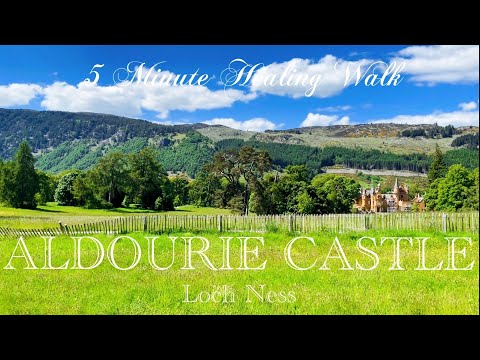
Aldourie Woods and Dores Bay

A wee walk in Aldourie Woods, Inverness.

Loch Ness by Jacobite, Urquhart Castle by Drone

Subscribe on Youtube @scottish.drone and Instagram @luke.droneguy.

Dochgarroch Lock & Loch Ness

LochNess #Family #Ducks Its day 5 of our 2018 summer holiday in Scotland and we decided to visit Loch Ness.

Nearby Amenities

Located within 500m of 57.417719,-4.3213269
above River Ness
Whitewater: put_in
Lat/Long: 57.4169347/-4.3278311
Dochfour House
Addr Housename: Dochfour House
Addr Postcode: IV3 8GY
Building: house
Lat/Long: 57.4215834/-4.3250572
The data included in this document is from www.openstreetmap.org. The data is made available under ODbL.

Have you been to Cambuslochy Bay?

Leave your review of Cambuslochy Bay below (or comments, questions and feedback).