Kirkton

Settlement in Inverness-shire

Scotland

Kirkton

Track by Ardourlie Farm
Track by Ardourlie Farm Credit: Peter Moore

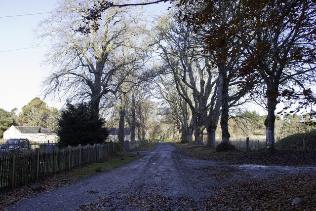
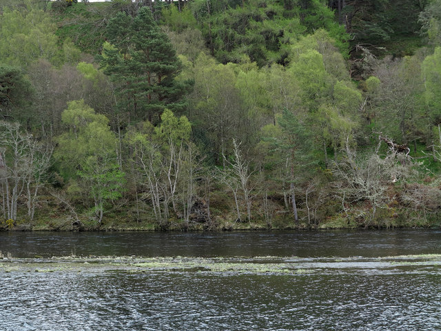
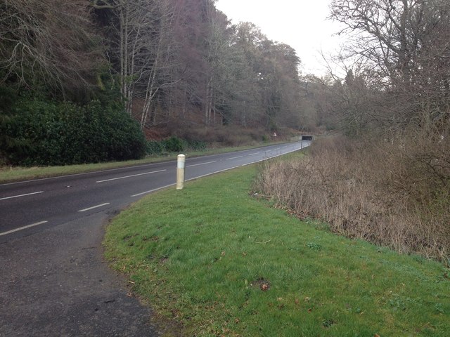
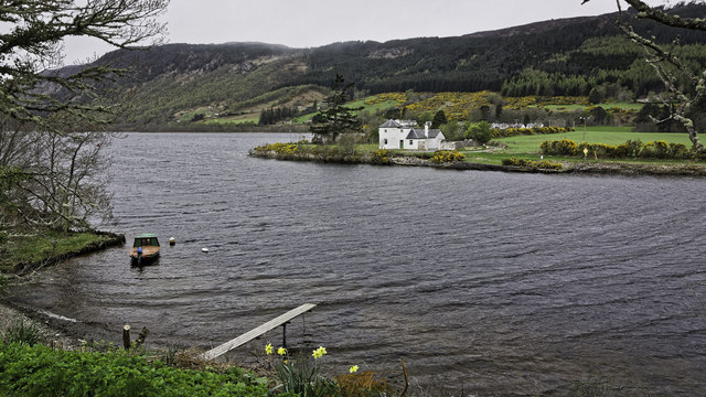
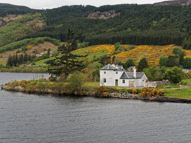
Kirkton is a small village located in the Inverness-shire region of Scotland. Situated in the Scottish Highlands, the village is surrounded by stunning natural beauty, with rolling hills, lush green landscapes, and picturesque views of the nearby Loch Ness. Kirkton is approximately 19 miles southwest of the city of Inverness, making it an ideal location for those seeking a peaceful and rural setting while still having access to urban amenities.

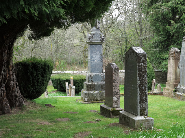
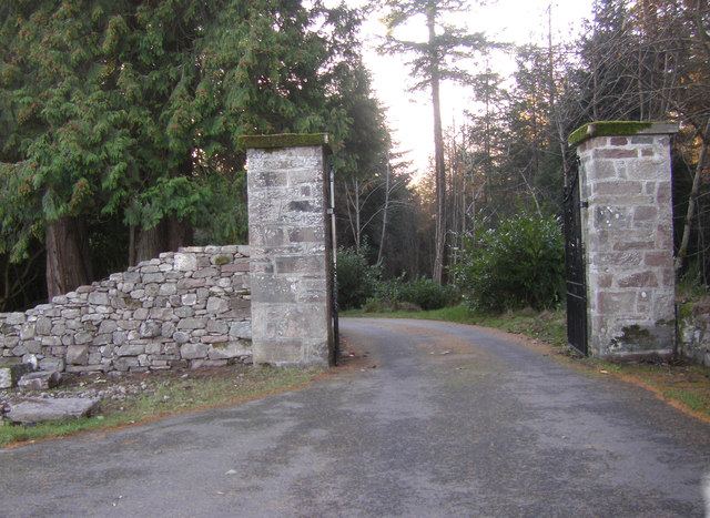
Despite its small size, Kirkton has a rich history that dates back many centuries. The village is home to a number of historic buildings, including the St. Columba's Church, which was built in the 18th century and is known for its beautiful stained glass windows. The local community takes pride in preserving these historical landmarks and promoting the village's cultural heritage.

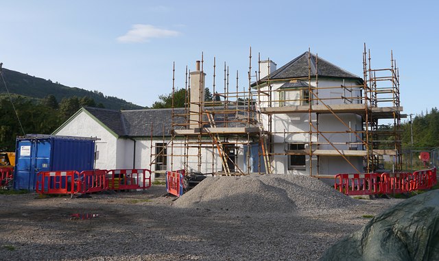
Kirkton is a close-knit community, with a friendly and welcoming atmosphere. The village has a primary school, providing education for the local children, and there are several community events and activities throughout the year, fostering a sense of belonging and unity among the residents. The village also has a few small businesses, including a local shop and a pub, catering to the needs of the local population.

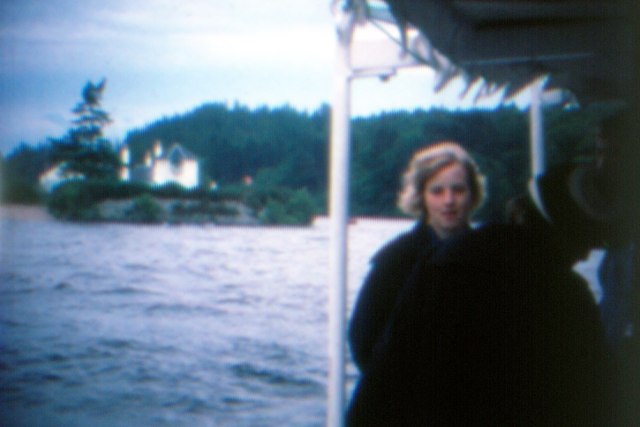
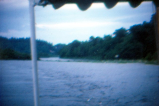
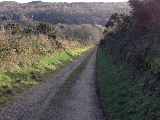
For outdoor enthusiasts, Kirkton offers plenty of opportunities for exploration and adventure. The surrounding area is dotted with walking trails, cycling routes, and fishing spots, allowing residents and visitors to immerse themselves in the natural beauty of the Scottish Highlands. Additionally, the famous Loch Ness is just a short distance away, offering the chance to spot the legendary Loch Ness Monster or simply enjoy a peaceful boat trip on the water.

In summary, Kirkton is a charming village nestled in the Scottish Highlands, offering a tranquil and scenic setting for its residents. With a rich history, a close-knit community, and an abundance of outdoor activities, Kirkton truly embodies the beauty and spirit of the Inverness-shire region.

If you have any feedback on the listing, please let us know in the comments section below.
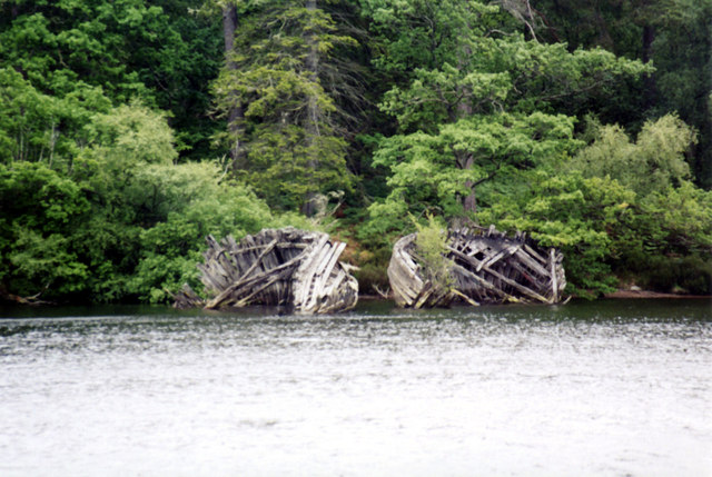
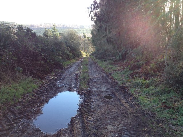
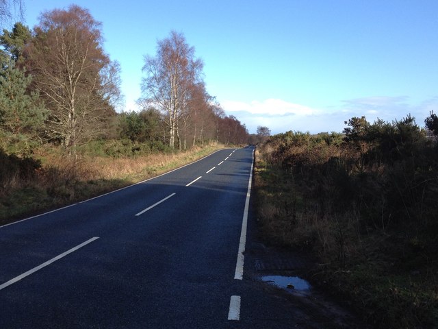
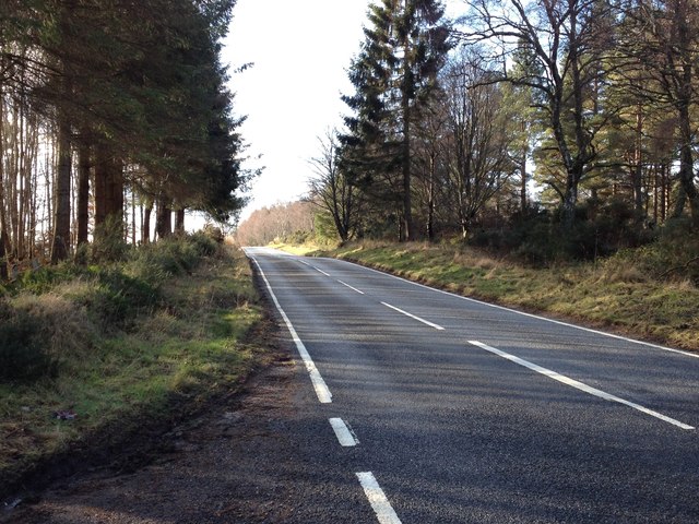
Kirkton Images

Images are sourced within 2km of 57.41639/-4.3285702 or Grid Reference NH6038. Thanks to Geograph Open Source API. All images are credited.

Track by Ardourlie Farm
Bona Lighthouse - 1976 Loch Ness, Lochend, MV 'Scot II', Bona Lighthouse.
Bona Lighthouse - 1976
Loch Ness, Lochend, MV 'Scot II', Bona Lighthouse.
Caledonian Canal - 1976 Dochgarroch, Caledonian Canal, River Ness Weir.
Caledonian Canal - 1976
Dochgarroch, Caledonian Canal, River Ness Weir.
Two waterways with trees beyond The division between the two waterways is apparent. The farther one is the River Ness soon after its leaving of Loch Dochfour; the nearer one is the start of a stretch of the Caledonian Canal as it heads towards Inverness. Shortly before the image was recorded two fishermen walked the way between the two channels seeming almost to be walking on water!
Two waterways with trees beyond
The division between the two waterways is apparent. The farther one is the River Ness soon after its leaving of Loch Dochfour; the nearer one is the start of a stretch of the Caledonian Canal as it heads towards Inverness. Shortly before the image was recorded two fishermen walked the way between the two channels seeming almost to be walking on water!
Graveyard of Old Church of Bona Gravestones at the graveyard of the 'Old Church of Bona', at Kirkton
Graveyard of Old Church of Bona
Gravestones at the graveyard of the 'Old Church of Bona', at Kirkton
River Ness The start of the River Ness as the water passes over the weir from Loch Dochfour.
River Ness
The start of the River Ness as the water passes over the weir from Loch Dochfour.
Bona Lighthouse marks the navigation from Loch Ness to Loch Dochfour
Bona Lighthouse Lochend Category B Listed octagonal lighthouse by Thomas Telford around 1815 to guide craft into Caledonian Canal from Loch Ness but contemporary drawings describe it as a dwelling house and store. It is likely that it didn't become a lighthouse until 1847-8. The small quay nearby is the possible site of the Bona Ferry.
Bona Lighthouse Lochend
Category B Listed octagonal lighthouse by Thomas Telford around 1815 to guide craft into Caledonian Canal from Loch Ness but contemporary drawings describe it as a dwelling house and store. It is likely that it didn't become a lighthouse until 1847-8. The small quay nearby is the possible site of the Bona Ferry.
Boat remains Loch Dochfour
Farm track to Kinchyle
B862 near Scaniport
B862 near Scaniport
B862 near Scaniport
B862 near Scaniport
Farm road to Antfield
A82 at Kirkton
A82 at Kirkton
Bona Lighthouse restoration Bona Lighthouse is at the northern end of Loch Ness, where the narrows join to Loch Dochfour, linking to the Caledonian Canal. It was designed by Thomas Telford, and built circa 1815. It is a Category B listed building, see the Historic Scotland report: <span class="nowrap"><a title="http://data.historic-scotland.gov.uk/pls/htmldb/f?p=2200:15:0::::BUILDING:8034" rel="nofollow ugc noopener" href="http://data.historic-scotland.gov.uk/pls/htmldb/f?p=2200:15:0::::BUILDING:8034">Link</a><img style="margin-left:2px;" alt="External link" title="External link - shift click to open in new window" src="https://s1.geograph.org.uk/img/external.png" width="10" height="10"/></span>

Over the years the building has been used as a store, stables and a dwelling. The octagonal tower is similar to several toll houses designed by Telford, so it has been suggested that it was designed for collecting a toll on the canal.

The lighthouse had been disused since 2002, and falling into disrepair. Scottish Canals and the Vivat Trust are now working on restoring the building, with plans to rent it out as holiday accommodation.
Bona Lighthouse restoration
Bona Lighthouse is at the northern end of Loch Ness, where the narrows join to Loch Dochfour, linking to the Caledonian Canal. It was designed by Thomas Telford, and built circa 1815. It is a Category B listed building, see the Historic Scotland report: LinkExternal link Over the years the building has been used as a store, stables and a dwelling. The octagonal tower is similar to several toll houses designed by Telford, so it has been suggested that it was designed for collecting a toll on the canal. The lighthouse had been disused since 2002, and falling into disrepair. Scottish Canals and the Vivat Trust are now working on restoring the building, with plans to rent it out as holiday accommodation.
Gated entrance to Aldourie Castle
Bona Lighthouse - Lochend
Bona Lighthouse Recently Renovated
Bona Lighthouse
Recently Renovated
Show me another place!

Kirkton is located at Grid Ref: NH6038 (Lat: 57.41639, Lng: -4.3285702)

Unitary Authority: Highland

Police Authority: Highlands and Islands

What 3 Words

///published.framework.mini. Near Inverness, Highland

Related Wikis

Loch Dochfour

Loch Dochfour is a freshwater loch in the Scottish Highlands southwest of Inverness, part of the Great Glen. The southern end flows in through the Bona...

Lochend (Loch Ness)

Lochend (Scottish Gaelic: Ceann Loch) is a settlement that lies at the start of the Caledonian Canal, at the head of Loch Ness in Inverness-shire, Scottish...

Aldourie Castle

Aldourie Castle is in Scotland, situated on Strath Dore, between the southern banks of Loch Ness and the Glen leading onto Drumashie Moor. The parkland...

Aldourie

Aldourie (Scottish Gaelic: Allt Dobharaidh meaning dark water or stream water) is an historic Estate on the east shore of Loch Ness. It lies about 7 miles...

Dochgarroch

Dochgarroch (Scottish Gaelic: Dabhach Gairbheach) is a settlement that lies at the start of the Caledonian Canal, at the head of Loch Ness in Inverness...

Scaniport

Scaniport (Scottish Gaelic: Sganaphort) is a small settlement located on the B862, roughly between Inverness to the north and Dores to the south, in the...

RockNess

RockNess was an annual music festival which took place in Scotland at Clune Farm, Dores, on the banks of Loch Ness near Inverness in the Scottish Highlands...

Dores, Highland

Dores (Scottish Gaelic: Duras) is a village located on the east shore of Loch Ness, 10 km south west of the city of Inverness, in the Highland council...

Nearby Amenities

Located within 500m of 57.41639,-4.3285702
above River Ness
Whitewater: put_in
Lat/Long: 57.4169347/-4.3278311
Power: pole
Lat/Long: 57.4185314/-4.3304696
Power: pole
Lat/Long: 57.4172148/-4.3309098
Power: pole
Lat/Long: 57.4165658/-4.3311448
Power: pole
Lat/Long: 57.4159119/-4.3313889
Power: pole
Lat/Long: 57.415433/-4.3320356
Power: pole
Lat/Long: 57.414946/-4.3326644
Power: pole
Lat/Long: 57.4144558/-4.3333352
Power: pole
Lat/Long: 57.4139808/-4.3340194
Power: pole
Lat/Long: 57.4135067/-4.3346557
Power: pole
Lat/Long: 57.4133672/-4.3341197
Power: pole
Lat/Long: 57.4207057/-4.3288834
The data included in this document is from www.openstreetmap.org. The data is made available under ODbL.

Have you been to Kirkton?

Leave your review of Kirkton below (or comments, questions and feedback).