Kirkstead
Settlement in Lincolnshire East Lindsey
England
Kirkstead

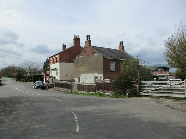
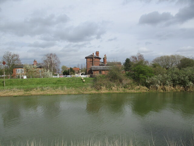
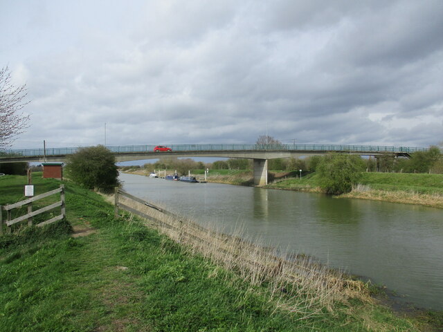
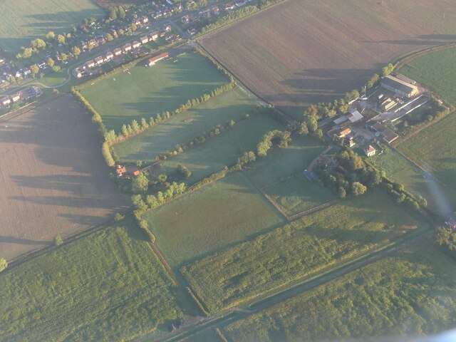
Kirkstead is a small village located in the county of Lincolnshire, in the East Midlands region of England. Situated approximately 7 miles east of the market town of Woodhall Spa, Kirkstead is nestled in a picturesque countryside setting along the banks of the River Witham.
With a population of around 200 residents, Kirkstead is known for its tranquility and rural charm. The village is surrounded by rolling green fields and offers stunning views of the Lincolnshire Wolds, an Area of Outstanding Natural Beauty. Its idyllic location makes it a popular destination for nature lovers and outdoor enthusiasts.
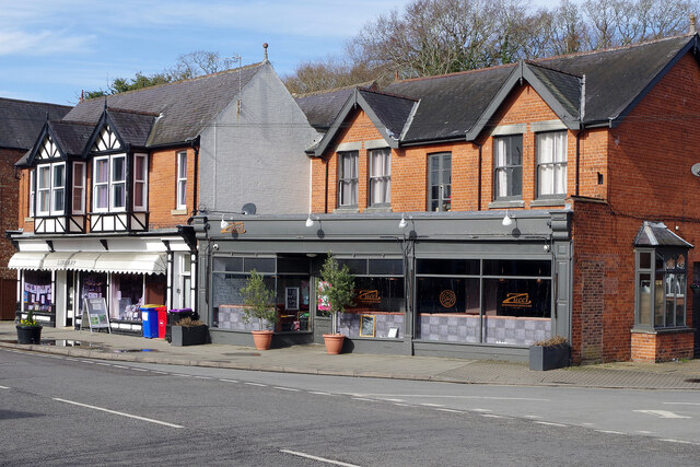
The village itself is characterized by its quaint and traditional architecture. The historic St. Leonard's Church, dating back to the 13th century, stands as a prominent landmark in the village. Kirkstead also boasts a well-preserved watermill, which was originally built in the 18th century and is a testament to the area's industrial history.
Despite its small size, Kirkstead has a strong sense of community. The village hosts various social events throughout the year, including summer fairs and community gatherings, fostering a close-knit atmosphere among its residents.
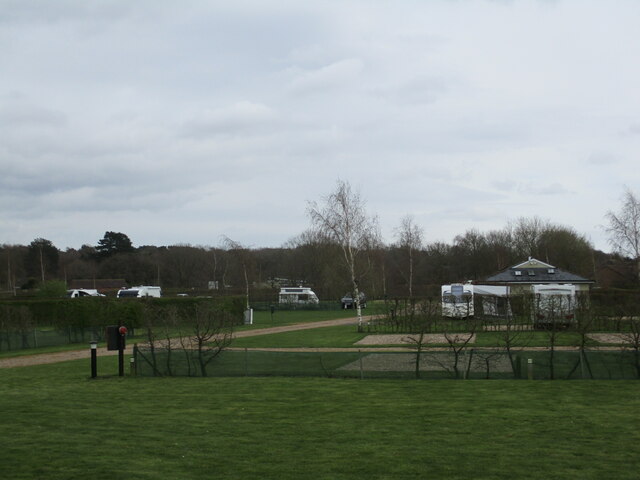
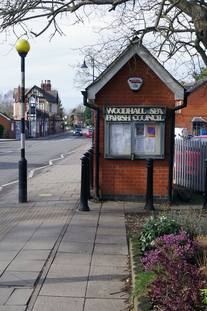
For those seeking recreational activities, the nearby Woodhall Spa offers a range of amenities, including golf courses, spas, and a variety of shops and restaurants. Additionally, the River Witham provides opportunities for boating and fishing, adding to the recreational options available to residents and visitors alike.
In conclusion, Kirkstead is a charming and tranquil village in Lincolnshire, offering a taste of rural living amidst stunning natural surroundings.
If you have any feedback on the listing, please let us know in the comments section below.
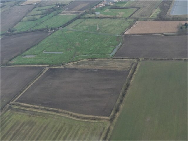
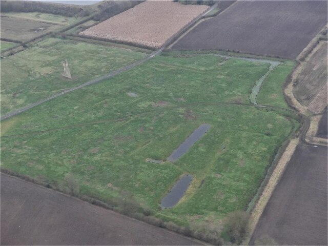
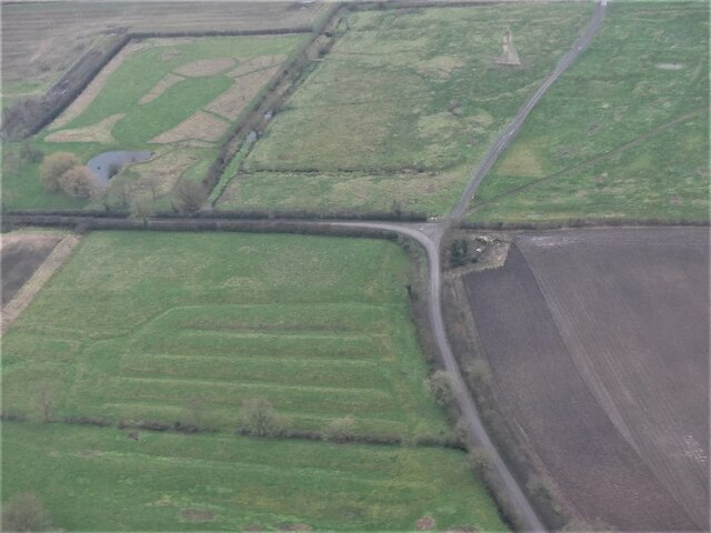
Kirkstead Images
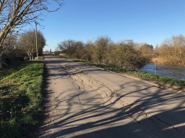
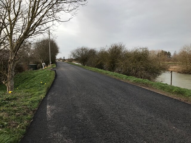
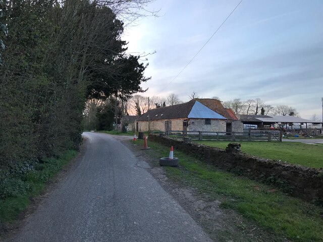
Images are sourced within 2km of 53.141277/-0.2152998 or Grid Reference TF1961. Thanks to Geograph Open Source API. All images are credited.
Kirkstead is located at Grid Ref: TF1961 (Lat: 53.141277, Lng: -0.2152998)
Division: Parts of Lindsey
Administrative County: Lincolnshire
District: East Lindsey
Police Authority: Lincolnshire
What 3 Words
///easily.tube.roaring. Near Woodhall Spa, Lincolnshire
Nearby Locations
Related Wikis

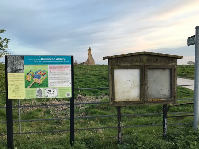
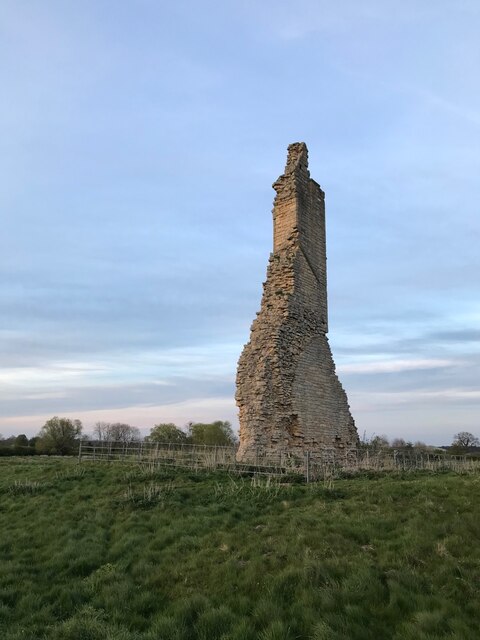
Kirkstead Abbey
Kirkstead Abbey is a former Cistercian monastery in Kirkstead, Lincolnshire, England. The monastery was founded in 1139 by Hugh Brito, (or Hugh son of...
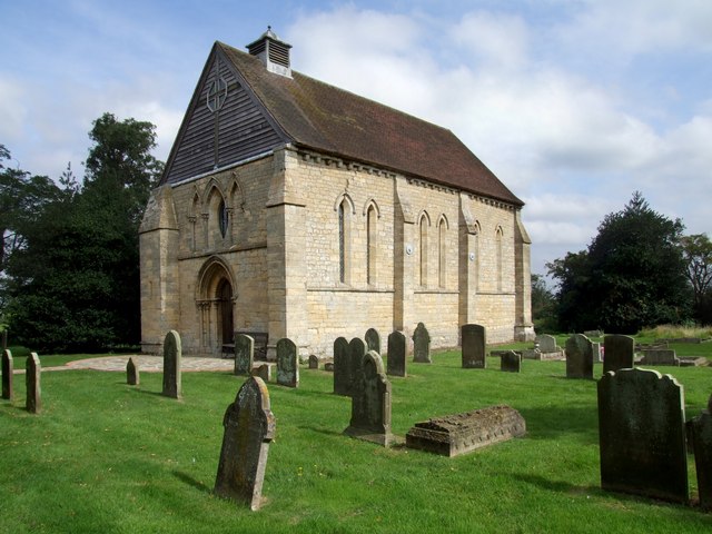
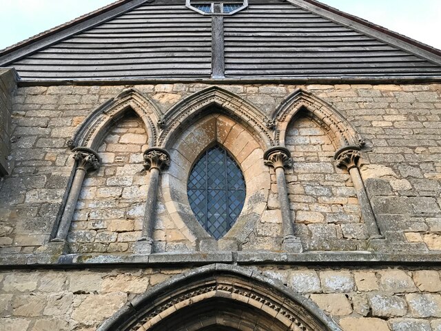
St Leonard's Without
The church of St Leonard's Without is a small chapel built between 1230 and 1240 in the parish of Kirkstead, Lincolnshire, close to Woodhall Spa. The chapel...

St Hugh's School, Woodhall Spa
St Hugh's School is a coeducational, preparatory school in the village of Woodhall Spa, Lincolnshire, England, founded in 1925. It was originally known...

Woodhall Spa
Woodhall Spa is a former spa town and civil parish in the East Lindsey district of Lincolnshire, England, on the southern edge of the Lincolnshire Wolds...
Nearby Amenities
Located within 500m of 53.141277,-0.2152998Have you been to Kirkstead?
Leave your review of Kirkstead below (or comments, questions and feedback).