Kirkshaws

Settlement in Lanarkshire

Scotland

Kirkshaws

Whifflet, B753 meets the A725
Whifflet, B753 meets the A725 Credit: Alan Reid

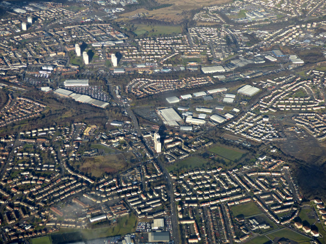
Kirkshaws is a small residential area located in the town of Coatbridge, Lanarkshire, Scotland. It is situated approximately 11 miles east of Glasgow city center and lies within the North Lanarkshire council area. Kirkshaws is bordered by the neighborhoods of Carnbroe to the west, Greenend to the east, and Sunnyside to the south.

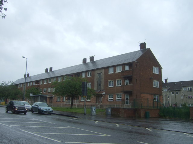
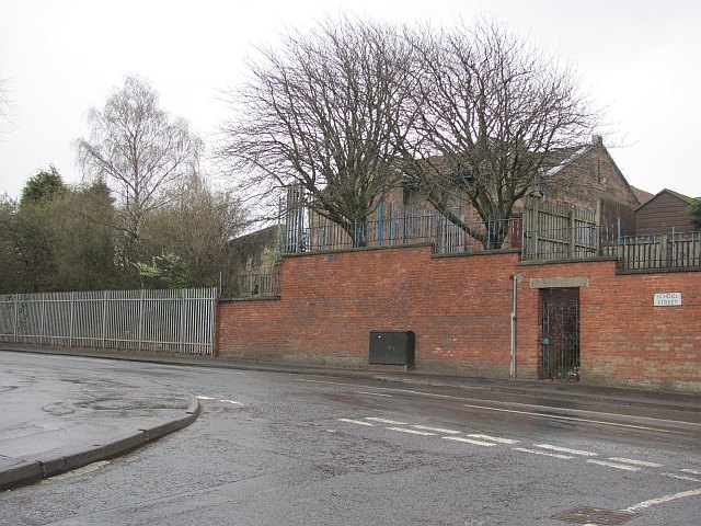
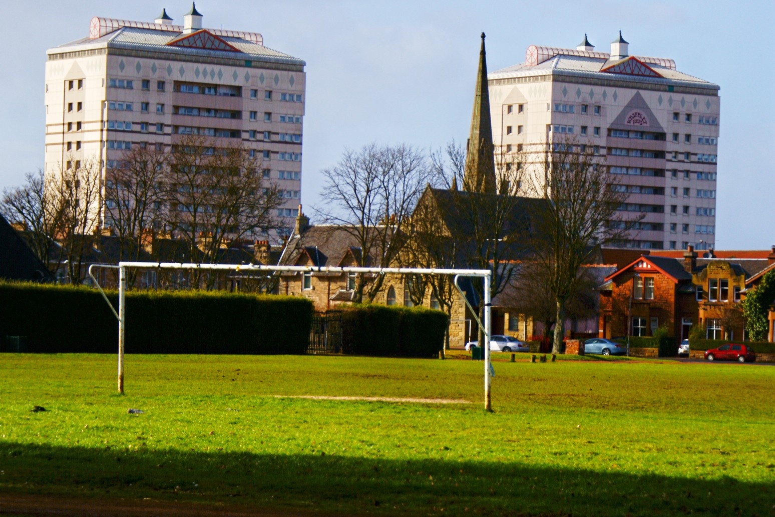
The area is predominantly residential, with a mix of houses and apartment complexes. Kirkshaws offers a range of housing options, including both privately owned and social housing. The community is well-served by local amenities, including a primary school, a community center, and several parks and green spaces.

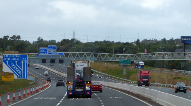
Transport links in Kirkshaws are convenient, with regular bus services connecting the area to Coatbridge town center and surrounding towns. The nearby Coatbridge Sunnyside railway station provides easy access to Glasgow and other parts of Lanarkshire.

Kirkshaws benefits from its close proximity to Coatbridge, which offers a wider range of amenities, including supermarkets, shops, restaurants, and leisure facilities. The area also boasts a rich industrial heritage, with several former coal mines and ironworks that played a significant role in Scotland's industrial past.

Overall, Kirkshaws is a quiet and family-friendly residential area within easy reach of essential amenities and transport connections. Its location in the heart of Lanarkshire makes it an attractive place to live for those seeking a balance between suburban living and access to urban conveniences.

If you have any feedback on the listing, please let us know in the comments section below.
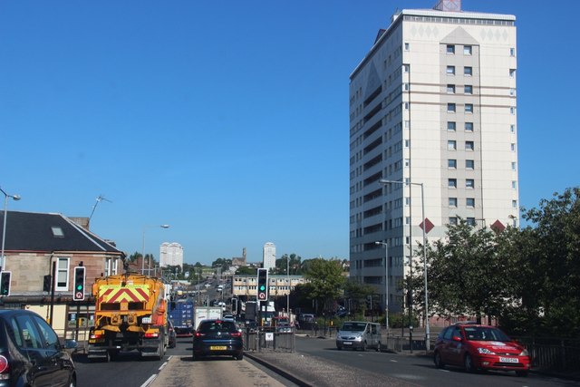
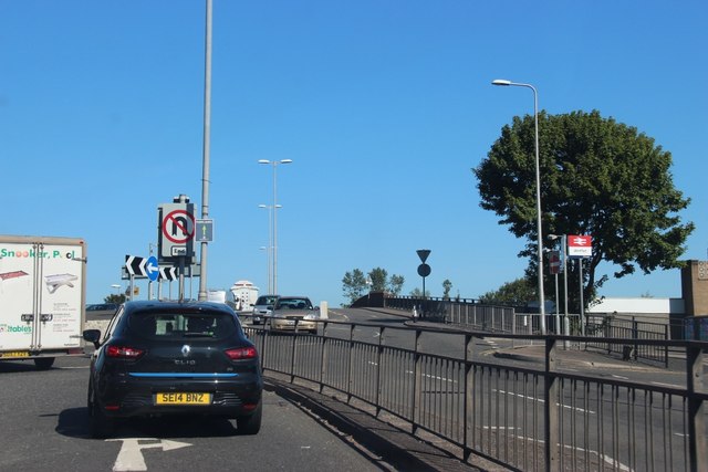
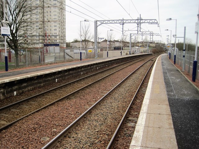
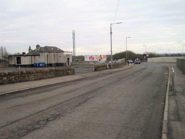
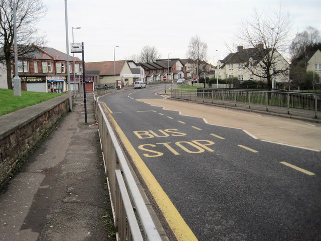
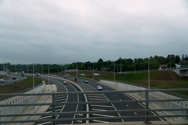
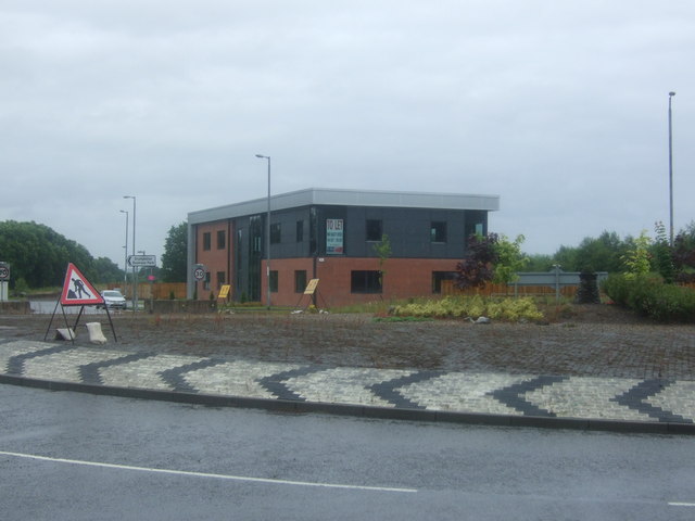
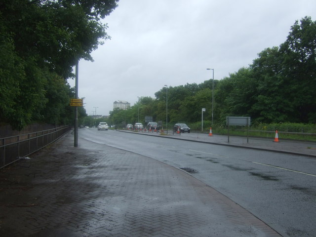
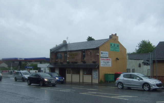
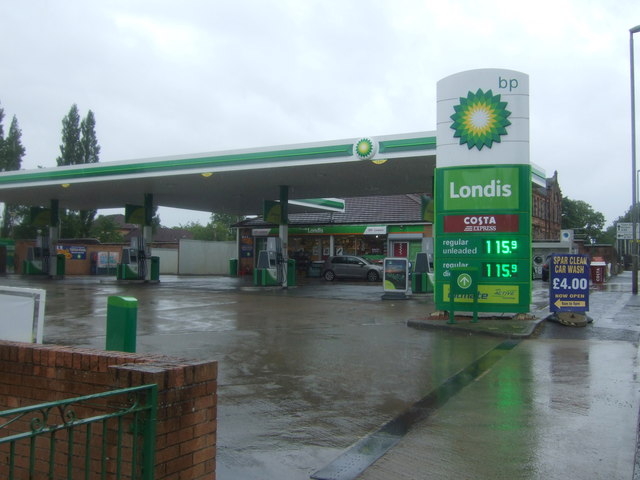
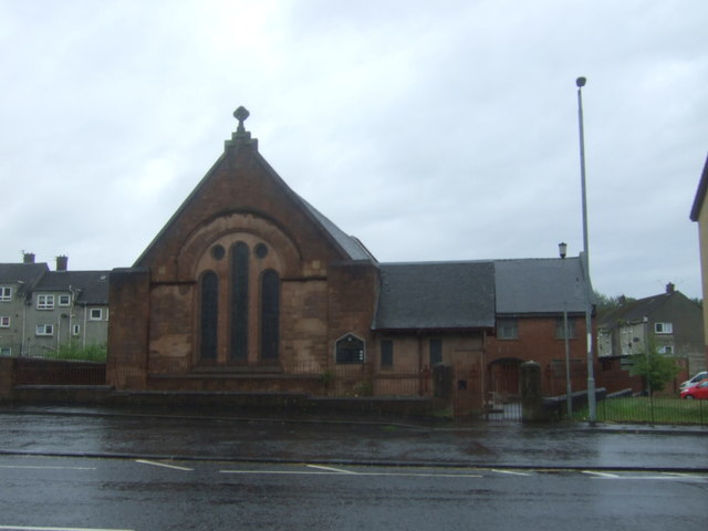
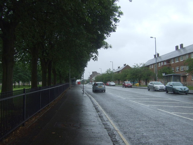
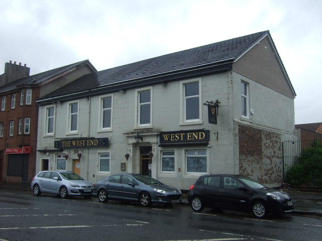
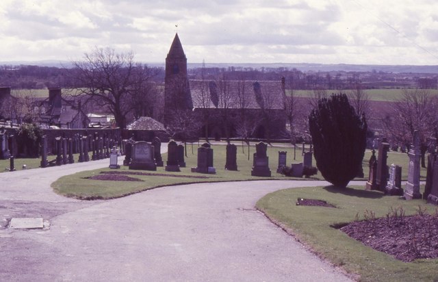
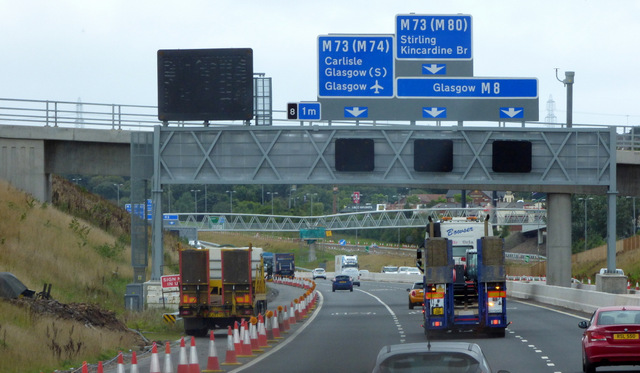
Kirkshaws Images

Images are sourced within 2km of 55.8444/-4.0435705 or Grid Reference NS7263. Thanks to Geograph Open Source API. All images are credited.

Whifflet, B753 meets the A725
Whifflet, B753 meets the A725 at a roundabout Whifflet railway station is closeby.
Whifflet, B753 meets the A725 at a roundabout
Whifflet railway station is closeby.
Kirkwood railway station, Lanarkshire Opened in 1993 by British Rail on the line from Glasgow to Whifflet, this station effectively replaced an earlier station called Langloan a few hundred metres behind the camera position.
View west towards Bargeddie and Glasgow following electrification. For a pre-electrification view from the same spot some three years earlier, see <a href="https://www.geograph.org.uk/photo/4060793">NS7164 : Kirkwood railway station, Lanarkshire</a>.
Kirkwood railway station, Lanarkshire
Opened in 1993 by British Rail on the line from Glasgow to Whifflet, this station effectively replaced an earlier station called Langloan a few hundred metres behind the camera position. View west towards Bargeddie and Glasgow following electrification. For a pre-electrification view from the same spot some three years earlier, see NS7164 : Kirkwood railway station, Lanarkshire.
View south on Langmuir Road towards Bargeddie railway station
Woodside Road, Kirkwood
Junction 7 of the M8 at Shawhead This newly opened section of the M8 fills a short gap in the Glasgow motorway system.
Junction 7 of the M8 at Shawhead
This newly opened section of the M8 fills a short gap in the Glasgow motorway system.
Office block, Luggie Glen Business Park
A89 towards Coatbridge Looking south east.
A89 towards Coatbridge
Looking south east.
The Eagle Inn, Coatbridge On Bank Street.
The Eagle Inn, Coatbridge
On Bank Street.
Service station on Bank Street, Coatbridge
Church of Scotland, Coatbridge On Bank Street.
Church of Scotland, Coatbridge
On Bank Street.
Flats on Bank Street, Coatbridge
Bank Street, Coatbridge Looking north east on the A89.
Bank Street, Coatbridge
Looking north east on the A89.
The West End public house, Bank Street, Coatbridge
Old Monkland Churchyard Old Monkland Church is a Category B listed building, dating from 1790.
Old Monkland Churchyard
Old Monkland Church is a Category B listed building, dating from 1790.
The M8 motorway "missing link" at Coatbridge The "missing link" was a 5 mile gap in the M8 motorway between the Glasgow and Edinburgh which was served by the A8 dual carriageway. This situation existed for over thirty years until April 2017 when the motorway link between the country's two biggest cities was completed. Journey times in both directions between the cities were reduced by around 20 minutes as a result of this new road.
The M8 motorway "missing link" at Coatbridge
The "missing link" was a 5 mile gap in the M8 motorway between the Glasgow and Edinburgh which was served by the A8 dual carriageway. This situation existed for over thirty years until April 2017 when the motorway link between the country's two biggest cities was completed. Journey times in both directions between the cities were reduced by around 20 minutes as a result of this new road.
Whifflet from the air Looking up the A725 Whifflet Street towards Whifflet railway station.
Whifflet from the air
Looking up the A725 Whifflet Street towards Whifflet railway station.
Show me another place!

Kirkshaws is located at Grid Ref: NS7263 (Lat: 55.8444, Lng: -4.0435705)

Unitary Authority: North Lanarkshire

Police Authority: Lanarkshire

What 3 Words

///blaze.monkey.join. Near Viewpark, North Lanarkshire

Related Wikis

Langloan railway station

Langloan railway station served the suburb of Langloan, North Lanarkshire, Scotland from 1866 from 1964 on the Rutherglen and Coatbridge Railway. ��2...

Kirkwood railway station

Kirkwood railway station is located in the Kirkwood area of Coatbridge, Scotland. It is on the Whifflet Line (a branch of the more extensive Argyle Line...

Coathill Hospital

Coathill Hospital is a health facility in Hospital Road, Coatbridge, North Lanarkshire, Scotland. It is managed by NHS Lanarkshire. == History == The facility...

Viewpark

Viewpark is an area in North Lanarkshire, Scotland. Situated immediately north-east of Uddingston (but on the other side of the M74 motorway), Viewpark...

Langloan Cricket Ground

Langloan Cricket Ground is a cricket ground in Coatbridge, Scotland. The first recorded match held on the ground came in 1860 when Colonel Buchanan's...

Whifflet Upper railway station

Whifflet Upper railway station served the village of Whifflet, North Lanarkshire, Scotland from 1886 to 1964 on the Rutherglen and Coatbridge Railway....

Whifflet railway station

Whifflet railway station is located in the Whifflet area of Coatbridge. Train services are provided by ScotRail. Until December 2014, it was the terminal...

Whifflet

Whifflet (Scots: The Whufflit, Scottish Gaelic: Magh na Cruithneachd) is a suburb of Coatbridge, Scotland, which once formed its own distinctive village...

Related Videos

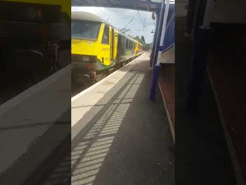
life on the rails #transport #travel #adventure

izaakz12 @Scottadventures1 #scottadventures #love #world.

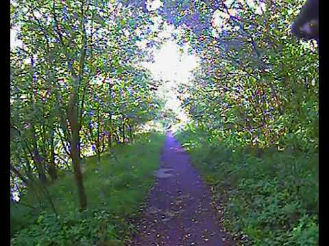
10Km trek from Tannockside North Lanarkshire to Uddingston South Lanarkshire via Thornwood Woodlands

Adventures and Walks with Puppy dog Otis, the Border Collie / Cocker Spaniel cross-breed. Otis was born 7th July 2021 and he ...

Monklands Canal Walk 24 September 2020

My first walk along the Monklands canal in Coatbridge since the Covid19 lock down.

Nearby Amenities

Located within 500m of 55.8444,-4.0435705
Kirkshaws
Is In: North Lanarkshire
Place: suburb
Lat/Long: 55.8455987/-4.0384861
Post Box
Lat/Long: 55.8471322/-4.049271
Place Of Worship
Old Monkland
Is In: North Lanarkshire, Scotland, UK
Postal Code: ML5
Religion: christian
Source: local_knowledge
Wheelchair: limited
Wikidata: Q17825751
Lat/Long: 55.8457381/-4.0495542
Highcross
Is In: North Lanarkshire
Place: neighbourhood
Source: local_knowledge
Lat/Long: 55.8487085/-4.0451621
Place Of Worship
St James
Created By: Potlatch 0.7b
Religion: christian
Wheelchair: limited
Lat/Long: 55.8464568/-4.0382891
Mini Roundabout
Direction: clockwise
Lat/Long: 55.8483322/-4.0446231
Turning Circle
Lat/Long: 55.8481004/-4.0434118
Turning Circle
Lat/Long: 55.8485454/-4.0416657
Mini Roundabout
Direction: clockwise
Lat/Long: 55.8478905/-4.0427623
Crossing
Button Operated: yes
Crossing: traffic_signals
Crossing Ref: pelican
Tactile Paving: yes
Lat/Long: 55.8434145/-4.0381291
Turning Circle
Lat/Long: 55.8472451/-4.0400796
Pub
Kirkshaws Club
Source: survey
Wheelchair: yes
Lat/Long: 55.8471069/-4.0430649
Turning Circle
Lat/Long: 55.8437768/-4.0421849
Old Monkland
Is In: North Lanarkshire, Scotland, UK
Place: suburb
Postal Code: ML5
Source: local_knowledge
Lat/Long: 55.8470748/-4.048725
Parking
Fee: no
Lit: yes
Postal Code: ML5 5
Source: survey
Wheelchair: yes
Lat/Long: 55.8436328/-4.0368426
Turning Circle
Lat/Long: 55.8444291/-4.0381574
Community Centre
Kirkshaws Neigbourhood Centre
Wheelchair: limited
Lat/Long: 55.8442275/-4.0394042
Turning Circle
Lat/Long: 55.8449278/-4.0401406
Ele: 80
Natural: peak
Source: GPS
Lat/Long: 55.8468278/-4.043631
Parking
Created By: Potlatch 0.10f
Fee: no
Lit: yes
Postal Code: ML5 5
Source: survey
Wheelchair: yes
Lat/Long: 55.8484567/-4.0463239
Turning Circle
Lat/Long: 55.8483374/-4.0424089
Addr City: Coatbridge
Addr Housenumber: 2
Addr Postcode: ML5 5ET
Addr Street: Braehead Avenue
Source: survey
Lat/Long: 55.8469637/-4.0446117
Addr City: Coatbridge
Addr Housenumber: 4
Addr Postcode: ML5 5ET
Addr Street: Braehead Avenue
Source: survey
Lat/Long: 55.8469637/-4.044749
Addr City: Coatbridge
Addr Housenumber: 6
Addr Postcode: ML5 5ET
Addr Street: Braehead Avenue
Source: survey
Lat/Long: 55.8469588/-4.0448778
Addr City: Coatbridge
Addr Housenumber: 8
Addr Postcode: ML5 5ET
Addr Street: Braehead Avenue
Source: survey
Lat/Long: 55.8469492/-4.044998
Addr City: Coatbridge
Addr Housenumber: 10
Addr Postcode: ML5 5ET
Addr Street: Braehead Avenue
Source: survey
Lat/Long: 55.8469588/-4.0451954
Addr City: Coatbridge
Addr Housenumber: 12
Addr Postcode: ML5 5ET
Addr Street: Braehead Avenue
Source: survey
Lat/Long: 55.8469492/-4.0453155
Addr City: Coatbridge
Addr Housenumber: 14
Addr Postcode: ML5 5ET
Addr Street: Braehead Avenue
Source: survey
Lat/Long: 55.8469444/-4.0454357
Addr City: Coatbridge
Addr Housenumber: 16
Addr Postcode: ML5 5ET
Addr Street: Braehead Avenue
Source: survey
Lat/Long: 55.8469396/-4.0455644
Addr City: Coatbridge
Addr Housenumber: 18
Addr Postcode: ML5 5ET
Addr Street: Braehead Avenue
Source: survey
Lat/Long: 55.8469444/-4.0457619
Addr City: Coatbridge
Addr Housenumber: 20
Addr Postcode: ML5 5ET
Addr Street: Braehead Avenue
Source: survey
Lat/Long: 55.8469444/-4.045882
Addr City: Coatbridge
Addr Housenumber: 22
Addr Postcode: ML5 5ET
Addr Street: Braehead Avenue
Source: survey
Lat/Long: 55.8469347/-4.0460022
Addr City: Coatbridge
Addr Housenumber: 24
Addr Postcode: ML5 5ET
Addr Street: Braehead Avenue
Source: survey
Lat/Long: 55.8469347/-4.0461223
Addr City: Coatbridge
Addr Housenumber: 26
Addr Postcode: ML5 5ET
Addr Street: Braehead Avenue
Source: survey
Lat/Long: 55.8469347/-4.0462511
Addr City: Coatbridge
Addr Housenumber: 28
Addr Postcode: ML5 5ET
Addr Street: Braehead Avenue
Source: survey
Lat/Long: 55.8469203/-4.0463798
Addr City: Coatbridge
Addr Housenumber: 30
Addr Postcode: ML5 5ET
Addr Street: Braehead Avenue
Source: survey
Lat/Long: 55.846901/-4.0465172
Addr City: Coatbridge
Addr Housenumber: 32
Addr Postcode: ML5 5ET
Addr Street: Braehead Avenue
Source: survey
Lat/Long: 55.8468914/-4.0466373
Addr City: Coatbridge
Addr Housenumber: 34
Addr Postcode: ML5 5ET
Addr Street: Braehead Avenue
Source: survey
Lat/Long: 55.8468721/-4.0467575
Addr City: Coatbridge
Addr Housenumber: 36
Addr Postcode: ML5 5ET
Addr Street: Braehead Avenue
Source: survey
Lat/Long: 55.8468673/-4.0468948
Addr City: Coatbridge
Addr Housenumber: 38
Addr Postcode: ML5 5ET
Addr Street: Braehead Avenue
Source: survey
Lat/Long: 55.8468528/-4.0470493
Addr City: Coatbridge
Addr Housenumber: 40
Addr Postcode: ML5 5ET
Addr Street: Braehead Avenue
Source: survey
Lat/Long: 55.8468384/-4.0471866
Addr City: Coatbridge
Addr Housenumber: 42
Addr Postcode: ML5 5ET
Addr Street: Braehead Avenue
Source: survey
Lat/Long: 55.8468287/-4.0473326
Addr City: Coatbridge
Addr Housenumber: 44
Addr Postcode: ML5 5ET
Addr Street: Braehead Avenue
Source: survey
Lat/Long: 55.8468095/-4.0474527
Addr City: Coatbridge
Addr Housenumber: 46
Addr Postcode: ML5 5ET
Addr Street: Braehead Avenue
Source: survey
Lat/Long: 55.8468046/-4.0475986
Addr City: Coatbridge
Addr Housenumber: 48
Addr Postcode: ML5 5ET
Addr Street: Braehead Avenue
Source: survey
Lat/Long: 55.8467902/-4.047736
Addr City: Coatbridge
Addr Housenumber: 50
Addr Postcode: ML5 5ET
Addr Street: Braehead Avenue
Source: survey
Lat/Long: 55.8467757/-4.0478733
Addr City: Coatbridge
Addr Housenumber: 52
Addr Postcode: ML5 5ET
Addr Street: Braehead Avenue
Source: survey
Lat/Long: 55.8467661/-4.0480106
Addr City: Coatbridge
Addr Housenumber: 54
Addr Postcode: ML5 5ET
Addr Street: Braehead Avenue
Source: survey
Lat/Long: 55.8467661/-4.0481394
Addr City: Coatbridge
Addr Housenumber: 56
Addr Postcode: ML5 5ET
Addr Street: Braehead Avenue
Source: survey
Lat/Long: 55.8467661/-4.0482509
Addr City: Coatbridge
Addr Housenumber: 58
Addr Postcode: ML5 5ET
Addr Street: Braehead Avenue
Source: survey
Lat/Long: 55.8467661/-4.0483625
Addr City: Coatbridge
Addr Housenumber: 60
Addr Postcode: ML5 5ET
Addr Street: Braehead Avenue
Source: survey
Lat/Long: 55.8467854/-4.0484741
Addr City: Coatbridge
Addr Housenumber: 62
Addr Postcode: ML5 5ET
Addr Street: Braehead Avenue
Source: survey
Lat/Long: 55.8467902/-4.0485771
Addr City: Coatbridge
Addr Housenumber: 64
Addr Postcode: ML5 5ET
Addr Street: Braehead Avenue
Source: survey
Lat/Long: 55.8468143/-4.0486887
Addr City: Coatbridge
Addr Housenumber: 66
Addr Postcode: ML5 5ET
Addr Street: Braehead Avenue
Source: survey
Lat/Long: 55.8468287/-4.0488346
Addr City: Coatbridge
Addr Housenumber: 68
Addr Postcode: ML5 5ET
Addr Street: Braehead Avenue
Source: survey
Lat/Long: 55.8468528/-4.0489033
Addr City: Coatbridge
Addr Housenumber: 43
Addr Postcode: ML5 5ET
Addr Street: Braehead Avenue
Source: survey
Lat/Long: 55.8465589/-4.0477617
Addr City: Coatbridge
Addr Housenumber: 1
Addr Postcode: ML5 5ET
Addr Street: Braehead Avenue
Source: survey
Lat/Long: 55.8467275/-4.044689
Addr City: Coatbridge
Addr Housenumber: 41
Addr Postcode: ML5 5ET
Addr Street: Braehead Avenue
Source: survey
Lat/Long: 55.8465734/-4.0476244
Addr City: Coatbridge
Addr Housenumber: 39
Addr Postcode: ML5 5ET
Addr Street: Braehead Avenue
Source: survey
Lat/Long: 55.846583/-4.047487
Addr City: Coatbridge
Addr Housenumber: 37
Addr Postcode: ML5 5ET
Addr Street: Braehead Avenue
Source: survey
Lat/Long: 55.8465878/-4.0473497
Addr City: Coatbridge
Addr Housenumber: 35
Addr Postcode: ML5 5ET
Addr Street: Braehead Avenue
Source: survey
Lat/Long: 55.8466071/-4.0472124
Addr City: Coatbridge
Addr Housenumber: 33
Addr Postcode: ML5 5ET
Addr Street: Braehead Avenue
Source: survey
Lat/Long: 55.8466264/-4.0470579
Addr City: Coatbridge
Addr Housenumber: 31
Addr Postcode: ML5 5ET
Addr Street: Braehead Avenue
Source: survey
Lat/Long: 55.8466456/-4.0468862
Addr City: Coatbridge
Addr Housenumber: 29
Addr Postcode: ML5 5ET
Addr Street: Braehead Avenue
Source: survey
Lat/Long: 55.8466486/-4.0466962
Addr City: Coatbridge
Addr Housenumber: 27
Addr Postcode: ML5 5ET
Addr Street: Braehead Avenue
Source: survey
Lat/Long: 55.8466553/-4.0465086
Addr City: Coatbridge
Addr Housenumber: 25
Addr Postcode: ML5 5ET
Addr Street: Braehead Avenue
Source: survey
Lat/Long: 55.8466697/-4.0463026
Addr City: Coatbridge
Addr Housenumber: 23
Addr Postcode: ML5 5ET
Addr Street: Braehead Avenue
Source: survey
Lat/Long: 55.8466794/-4.0461481
Addr City: Coatbridge
Addr Housenumber: 21
Addr Postcode: ML5 5ET
Addr Street: Braehead Avenue
Source: survey
Lat/Long: 55.8466842/-4.0459507
Addr City: Coatbridge
Addr Housenumber: 19
Addr Postcode: ML5 5ET
Addr Street: Braehead Avenue
Source: survey
Lat/Long: 55.8466842/-4.0457533
Addr City: Coatbridge
Addr Housenumber: 17
Addr Postcode: ML5 5ET
Addr Street: Braehead Avenue
Source: survey
Lat/Long: 55.8466842/-4.0455988
Addr City: Coatbridge
Addr Housenumber: 15
Addr Postcode: ML5 5ET
Addr Street: Braehead Avenue
Source: survey
Lat/Long: 55.8466842/-4.0454443
Addr City: Coatbridge
Addr Housenumber: 13
Addr Postcode: ML5 5ET
Addr Street: Braehead Avenue
Source: survey
Lat/Long: 55.8466842/-4.045264
Addr City: Coatbridge
Addr Housenumber: 11
Addr Postcode: ML5 5ET
Addr Street: Braehead Avenue
Source: survey
Lat/Long: 55.8466794/-4.0451181
Addr City: Coatbridge
Addr Housenumber: 9
Addr Postcode: ML5 5ET
Addr Street: Braehead Avenue
Source: survey
Lat/Long: 55.8466986/-4.0449722
Addr City: Coatbridge
Addr Housenumber: 7
Addr Postcode: ML5 5ET
Addr Street: Braehead Avenue
Source: survey
Lat/Long: 55.8467035/-4.0448606
Addr City: Coatbridge
Addr Housenumber: 5
Addr Postcode: ML5 5ET
Addr Street: Braehead Avenue
Source: survey
Lat/Long: 55.8467035/-4.0447662
Clyde Valley Housing
Addr City: Coatbridge
Addr Housenumber: 1
Addr Postcode: ML5 5DX
Addr Street: Islay Way
Source: survey
Lat/Long: 55.8478942/-4.0482948
Addr City: Coatbridge
Addr Housenumber: 3
Addr Postcode: ML5 5DX
Addr Street: Islay Way
Source: survey
Lat/Long: 55.8479954/-4.048063
Addr City: Coatbridge
Addr Housenumber: 5
Addr Postcode: ML5 5DX
Addr Street: Islay Way
Source: survey
Lat/Long: 55.8480484/-4.0480373
Addr City: Coatbridge
Addr Housenumber: 7
Addr Postcode: ML5 5DX
Addr Street: Islay Way
Source: survey
Lat/Long: 55.848111/-4.0480287
Parking
Wheelchair: yes
Lat/Long: 55.8462374/-4.0388934
Turning Circle
Lat/Long: 55.8476738/-4.0418246
Turning Circle
Lat/Long: 55.8447292/-4.0390912
Barrier: bollard
Lat/Long: 55.8455759/-4.0437201
Turning Circle
Lat/Long: 55.8450789/-4.0411942
Atm
Opening Hours: Mo 10:00-22:00
Lat/Long: 55.8483454/-4.0463847
Waste Basket
Lat/Long: 55.8415898/-4.046612
Bus Stop
Kirkshaws, Old Monkland Road opp Kirkshaws Primary School
Bus: yes
Naptan AtcoCode: 6160799
Naptan NaptanCode: 65236236
Public Transport: platform
Lat/Long: 55.8481844/-4.0417754
Bus Stop
Kirkshaws, Old Monkland Road at Kirkshaws Primary School
Bus: yes
Naptan AtcoCode: 6160800
Naptan NaptanCode: 65234367
Public Transport: platform
Lat/Long: 55.8481475/-4.0415094
Bus Stop
Kirkshaws, Old Monkland Road opp Islay Way
Bus: yes
Naptan AtcoCode: 6160797
Naptan NaptanCode: 65237292
Public Transport: platform
Lat/Long: 55.8475429/-4.0450239
Bus Stop
Kirkshaws, Old Monkland Road before Kintyre Drive
Bus: yes
Naptan AtcoCode: 6160798
Naptan NaptanCode: 65232687
Public Transport: platform
Lat/Long: 55.8476073/-4.0453921
Bus Stop
Kirkshaws, Faulds Street before Woodhall Place
Bus: yes
Naptan AtcoCode: 61601860
Naptan NaptanCode: 65242536
Public Transport: platform
Lat/Long: 55.8467611/-4.0374175
Bus Stop
Kirkshaws, Scarhill Street before Daldowie Street
Bus: yes
Naptan AtcoCode: 61601866
Naptan NaptanCode: 65238645
Public Transport: platform
Lat/Long: 55.8443527/-4.0370382
Bus Stop
Kirkshaws, Loanhead Street after Scarhill Street
Bus: yes
Naptan AtcoCode: 61601867
Naptan NaptanCode: 65238763
Public Transport: platform
Lat/Long: 55.8456652/-4.0393343
Bus Stop
Kirkshaws, Dunure Street before Daldowie Street
Bus: yes
Naptan AtcoCode: 61601868
Naptan NaptanCode: 65237549
Public Transport: platform
Lat/Long: 55.8457693/-4.0425025
Bus Stop
Kirkshaws, Ellismuir Street opp Fullarton Street
Bus: yes
Naptan AtcoCode: 61601869
Naptan NaptanCode: 65237648
Public Transport: platform
Lat/Long: 55.8453525/-4.0446196
Bus Stop
Kirkshaws, Braehead Avenue before Fullarton Street
Bus: yes
Naptan AtcoCode: 61601870
Naptan NaptanCode: 65237567
Public Transport: platform
Lat/Long: 55.8468531/-4.0460957
Bus Stop
Kirkshaws, Dunnure Place after Windsor Street
Bus: yes
Naptan AtcoCode: 61601871
Naptan NaptanCode: 65237635
Public Transport: platform
Lat/Long: 55.8467746/-4.043778
Bus Stop
Kirkshaws, Dunure Street opp St James Way
Bus: yes
Naptan AtcoCode: 61601872
Naptan NaptanCode: 65237958
Public Transport: platform
Lat/Long: 55.847429/-4.0426022
The data included in this document is from www.openstreetmap.org. The data is made available under ODbL.

Have you been to Kirkshaws?

Leave your review of Kirkshaws below (or comments, questions and feedback).