Monkland, Old

Settlement in Lanarkshire

Scotland

Monkland, Old

Whifflet, B753 meets the A725
Whifflet, B753 meets the A725 Credit: Alan Reid

Monkland, Old, is a small village located in the historic county of Lanarkshire, Scotland. Situated approximately 8 miles east of Glasgow, the village is nestled in the heart of the scenic Clyde Valley. Monkland, Old, holds a rich history dating back to the medieval period when it was first established as a monastic settlement.

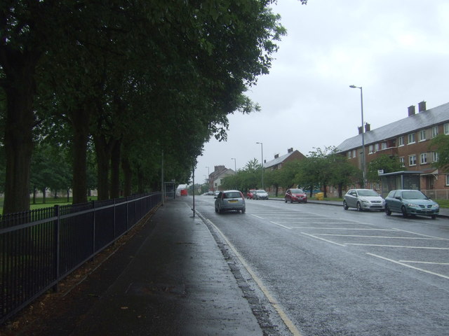
The village is known for its charming rural setting, surrounded by rolling hills and lush green fields, making it an idyllic spot for nature lovers and outdoor enthusiasts. The nearby River Clyde adds to the beauty of the landscape, offering opportunities for fishing and boating.

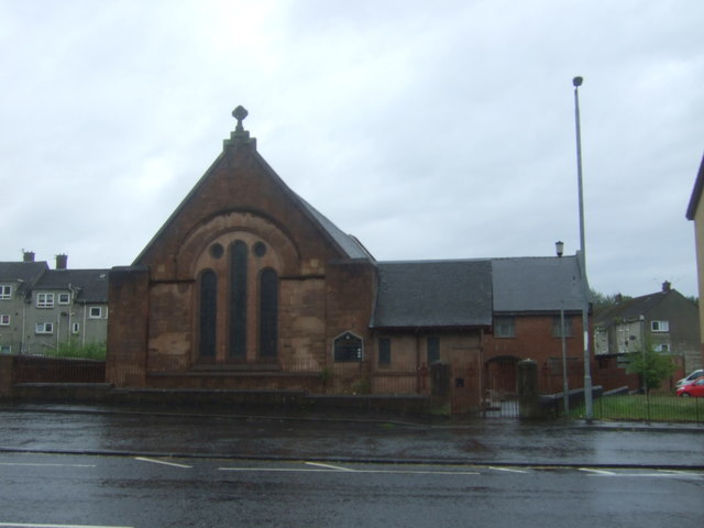
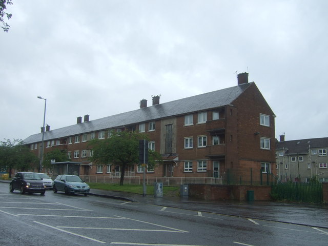
Monkland, Old, has a close-knit community with a population of around 1,000 residents. The village maintains its traditional character with a collection of well-preserved historic buildings, including the Monkland Parish Church, which dates back to the 12th century.

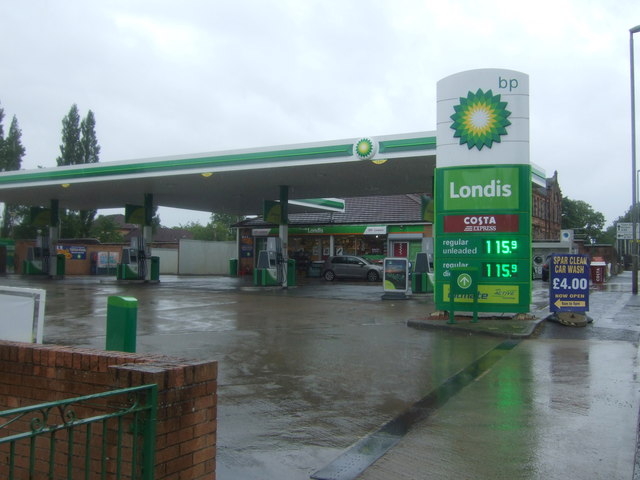
Although small in size, the village offers a range of amenities to its residents. These include a primary school, a community center, a post office, and a few local shops. For further amenities, residents can easily access nearby towns such as Coatbridge and Airdrie, which offer a wider range of services, shopping centers, and recreational facilities.

Overall, Monkland, Old, offers a peaceful and picturesque setting, perfect for those seeking a quiet village lifestyle while still having easy access to larger towns and cities.

If you have any feedback on the listing, please let us know in the comments section below.

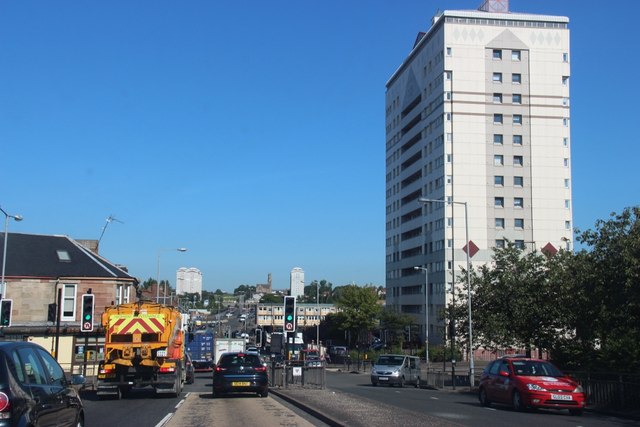
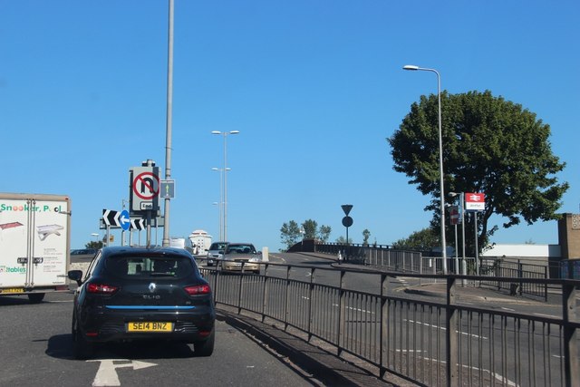
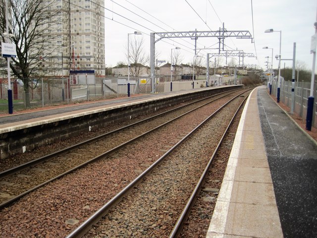
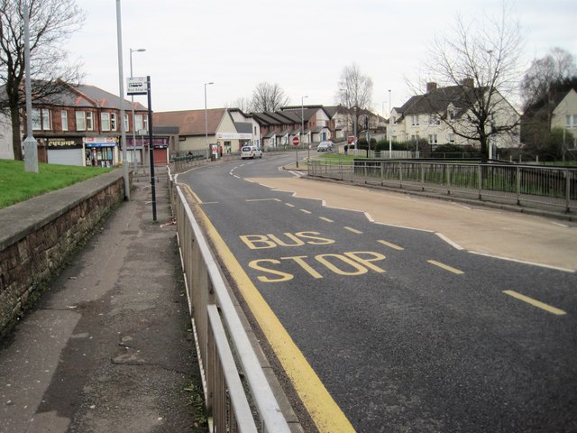
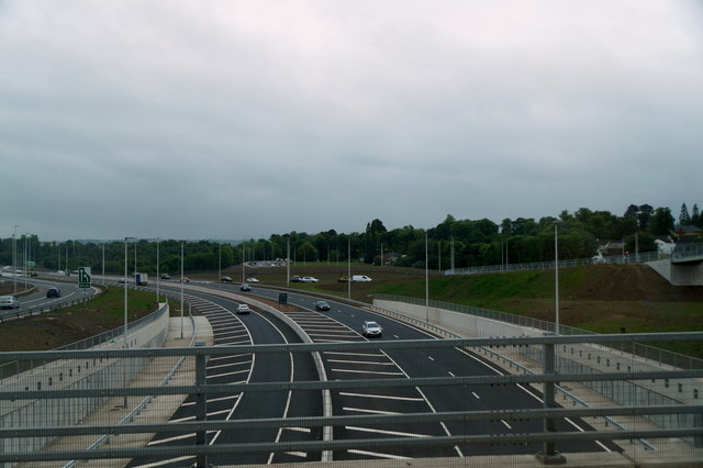
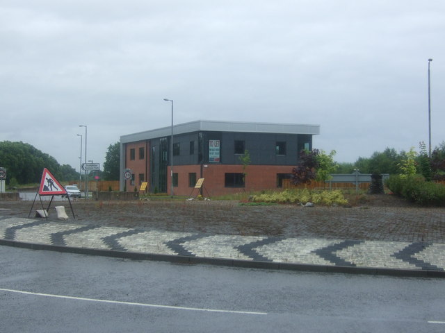
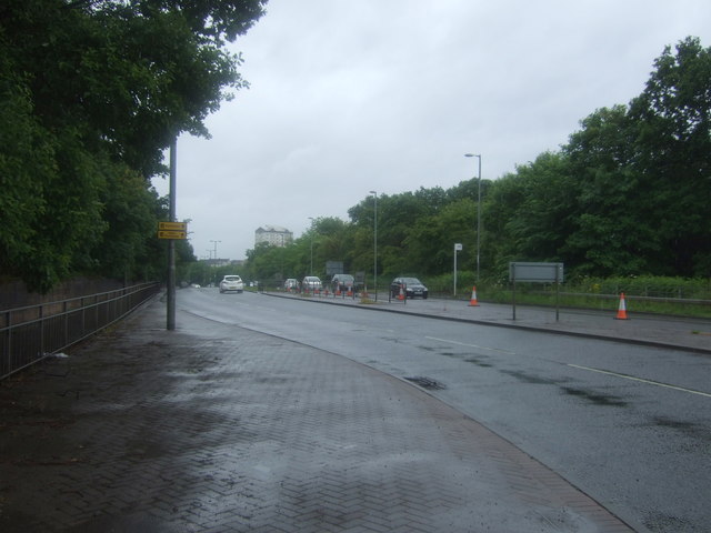
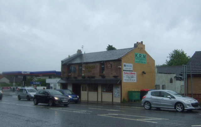
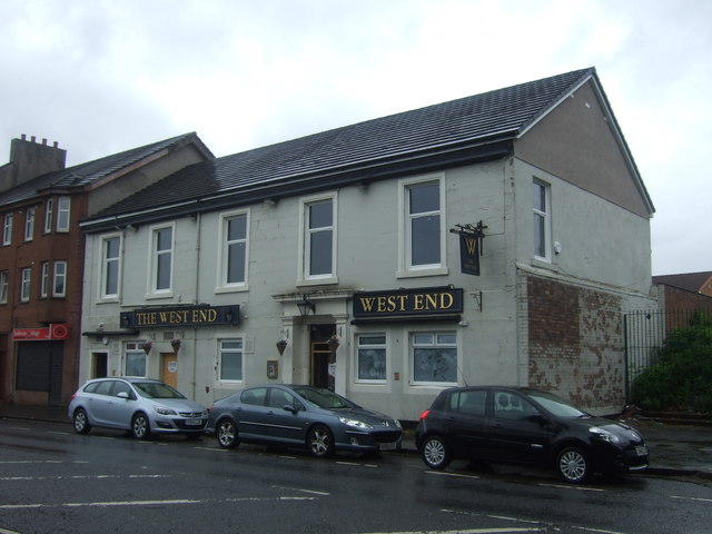
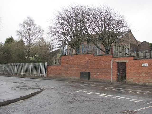
Monkland, Old Images

Images are sourced within 2km of 55.848422/-4.0405707 or Grid Reference NS7263. Thanks to Geograph Open Source API. All images are credited.

Whifflet, B753 meets the A725
Whifflet, B753 meets the A725 at a roundabout Whifflet railway station is closeby.
Whifflet, B753 meets the A725 at a roundabout
Whifflet railway station is closeby.
The Fountain Well known Coatbridge landmark which used to sit a little to the west where the roundabout is now
The Fountain
Well known Coatbridge landmark which used to sit a little to the west where the roundabout is now
Iron, Coal and Steel Recognising Coatbridge's industrial past. On site of Monkland Canal.
Iron, Coal and Steel
Recognising Coatbridge's industrial past. On site of Monkland Canal.
Coatbank Street In background former Coats Parish Church flanked by Jackson Street flats.
Coatbank Street
In background former Coats Parish Church flanked by Jackson Street flats.
Kirkwood railway station, Lanarkshire Opened in 1993 by British Rail on the line from Glasgow to Whifflet, this station effectively replaced an earlier station called Langloan a few hundred metres behind the camera position.
View west towards Bargeddie and Glasgow following electrification. For a pre-electrification view from the same spot some three years earlier, see <a href="https://www.geograph.org.uk/photo/4060793">NS7164 : Kirkwood railway station, Lanarkshire</a>.
Kirkwood railway station, Lanarkshire
Opened in 1993 by British Rail on the line from Glasgow to Whifflet, this station effectively replaced an earlier station called Langloan a few hundred metres behind the camera position. View west towards Bargeddie and Glasgow following electrification. For a pre-electrification view from the same spot some three years earlier, see NS7164 : Kirkwood railway station, Lanarkshire.
Woodside Road, Kirkwood
Tram Summerlee Heritage Museum This tram is one of many exhibits that can be found both externally and internally at this small but wonderful museum.
Tram Summerlee Heritage Museum
This tram is one of many exhibits that can be found both externally and internally at this small but wonderful museum.
Junction 7 of the M8 at Shawhead This newly opened section of the M8 fills a short gap in the Glasgow motorway system.
Junction 7 of the M8 at Shawhead
This newly opened section of the M8 fills a short gap in the Glasgow motorway system.
Office block, Luggie Glen Business Park
A89 towards Coatbridge Looking south east.
A89 towards Coatbridge
Looking south east.
The Eagle Inn, Coatbridge On Bank Street.
The Eagle Inn, Coatbridge
On Bank Street.
Service station on Bank Street, Coatbridge
Church of Scotland, Coatbridge On Bank Street.
Church of Scotland, Coatbridge
On Bank Street.
Flats on Bank Street, Coatbridge
Bank Street, Coatbridge Looking north east on the A89.
Bank Street, Coatbridge
Looking north east on the A89.
The West End public house, Bank Street, Coatbridge
Railway bridge over Bank Street (A89), Coatbridge
Show me another place!

Monkland, Old is located at Grid Ref: NS7263 (Lat: 55.848422, Lng: -4.0405707)

Unitary Authority: North Lanarkshire

Police Authority: Lanarkshire

What 3 Words

///youth.marked.hooks. Near Coatbridge, North Lanarkshire

Related Wikis

Langloan railway station

Langloan railway station served the suburb of Langloan, North Lanarkshire, Scotland from 1866 from 1964 on the Rutherglen and Coatbridge Railway. ��2...

Kirkwood railway station

Kirkwood railway station is located in the Kirkwood area of Coatbridge, Scotland. It is on the Whifflet Line (a branch of the more extensive Argyle Line...

Coathill Hospital

Coathill Hospital is a health facility in Hospital Road, Coatbridge, North Lanarkshire, Scotland. It is managed by NHS Lanarkshire. == History == The facility...

Langloan Cricket Ground

Langloan Cricket Ground is a cricket ground in Coatbridge, Scotland. The first recorded match held on the ground came in 1860 when Colonel Buchanan's...

Nearby Amenities

Located within 500m of 55.848422,-4.0405707
Kirkshaws
Is In: North Lanarkshire
Place: suburb
Lat/Long: 55.8455987/-4.0384861
Cuparhead
Place: suburb
Source: local_knowledge
Lat/Long: 55.8520147/-4.0444729
Parking
Created By: Potlatch 0.10f
Fee: no
Lit: yes
Postal Code: ML5 5
Source: survey
Wheelchair: yes
Lat/Long: 55.8511886/-4.046693
Highcross
Is In: North Lanarkshire
Place: neighbourhood
Source: local_knowledge
Lat/Long: 55.8487085/-4.0451621
Place Of Worship
St James
Created By: Potlatch 0.7b
Religion: christian
Wheelchair: limited
Lat/Long: 55.8464568/-4.0382891
Parking
Wheelchair: yes
Lat/Long: 55.8509088/-4.0375721
Crossing
Button Operated: yes
Crossing: traffic_signals
Crossing Island: no
Tactile Paving: yes
Lat/Long: 55.8486963/-4.0341942
Mini Roundabout
Direction: clockwise
Lat/Long: 55.8491234/-4.0469589
Mini Roundabout
Direction: clockwise
Lat/Long: 55.8483322/-4.0446231
Turning Circle
Lat/Long: 55.8481004/-4.0434118
Turning Circle
Lat/Long: 55.8485454/-4.0416657
Mini Roundabout
Direction: clockwise
Lat/Long: 55.8485672/-4.0361426
Mini Roundabout
Direction: clockwise
Lat/Long: 55.8478905/-4.0427623
Turning Circle
Lat/Long: 55.8472451/-4.0400796
Pub
Kirkshaws Club
Source: survey
Wheelchair: yes
Lat/Long: 55.8471069/-4.0430649
Parking
Fee: no
Lit: yes
Postal Code: ML5 5
Source: survey
Wheelchair: yes
Lat/Long: 55.8521193/-4.0424374
Turning Circle
Lat/Long: 55.8444291/-4.0381574
Community Centre
Kirkshaws Neigbourhood Centre
Wheelchair: limited
Lat/Long: 55.8442275/-4.0394042
Turning Circle
Lat/Long: 55.8449278/-4.0401406
Ele: 80
Natural: peak
Source: GPS
Lat/Long: 55.8468278/-4.043631
Parking
Created By: Potlatch 0.10f
Fee: no
Lit: yes
Postal Code: ML5 5
Source: survey
Wheelchair: yes
Lat/Long: 55.8484567/-4.0463239
Turning Circle
Lat/Long: 55.8483374/-4.0424089
Addr City: Coatbridge
Addr Housenumber: 2
Addr Postcode: ML5 5ET
Addr Street: Braehead Avenue
Source: survey
Lat/Long: 55.8469637/-4.0446117
Addr City: Coatbridge
Addr Housenumber: 4
Addr Postcode: ML5 5ET
Addr Street: Braehead Avenue
Source: survey
Lat/Long: 55.8469637/-4.044749
Addr City: Coatbridge
Addr Housenumber: 6
Addr Postcode: ML5 5ET
Addr Street: Braehead Avenue
Source: survey
Lat/Long: 55.8469588/-4.0448778
Addr City: Coatbridge
Addr Housenumber: 8
Addr Postcode: ML5 5ET
Addr Street: Braehead Avenue
Source: survey
Lat/Long: 55.8469492/-4.044998
Addr City: Coatbridge
Addr Housenumber: 10
Addr Postcode: ML5 5ET
Addr Street: Braehead Avenue
Source: survey
Lat/Long: 55.8469588/-4.0451954
Addr City: Coatbridge
Addr Housenumber: 12
Addr Postcode: ML5 5ET
Addr Street: Braehead Avenue
Source: survey
Lat/Long: 55.8469492/-4.0453155
Addr City: Coatbridge
Addr Housenumber: 14
Addr Postcode: ML5 5ET
Addr Street: Braehead Avenue
Source: survey
Lat/Long: 55.8469444/-4.0454357
Addr City: Coatbridge
Addr Housenumber: 16
Addr Postcode: ML5 5ET
Addr Street: Braehead Avenue
Source: survey
Lat/Long: 55.8469396/-4.0455644
Addr City: Coatbridge
Addr Housenumber: 18
Addr Postcode: ML5 5ET
Addr Street: Braehead Avenue
Source: survey
Lat/Long: 55.8469444/-4.0457619
Addr City: Coatbridge
Addr Housenumber: 20
Addr Postcode: ML5 5ET
Addr Street: Braehead Avenue
Source: survey
Lat/Long: 55.8469444/-4.045882
Addr City: Coatbridge
Addr Housenumber: 22
Addr Postcode: ML5 5ET
Addr Street: Braehead Avenue
Source: survey
Lat/Long: 55.8469347/-4.0460022
Addr City: Coatbridge
Addr Housenumber: 24
Addr Postcode: ML5 5ET
Addr Street: Braehead Avenue
Source: survey
Lat/Long: 55.8469347/-4.0461223
Addr City: Coatbridge
Addr Housenumber: 26
Addr Postcode: ML5 5ET
Addr Street: Braehead Avenue
Source: survey
Lat/Long: 55.8469347/-4.0462511
Addr City: Coatbridge
Addr Housenumber: 28
Addr Postcode: ML5 5ET
Addr Street: Braehead Avenue
Source: survey
Lat/Long: 55.8469203/-4.0463798
Addr City: Coatbridge
Addr Housenumber: 30
Addr Postcode: ML5 5ET
Addr Street: Braehead Avenue
Source: survey
Lat/Long: 55.846901/-4.0465172
Addr City: Coatbridge
Addr Housenumber: 32
Addr Postcode: ML5 5ET
Addr Street: Braehead Avenue
Source: survey
Lat/Long: 55.8468914/-4.0466373
Addr City: Coatbridge
Addr Housenumber: 34
Addr Postcode: ML5 5ET
Addr Street: Braehead Avenue
Source: survey
Lat/Long: 55.8468721/-4.0467575
Addr City: Coatbridge
Addr Housenumber: 36
Addr Postcode: ML5 5ET
Addr Street: Braehead Avenue
Source: survey
Lat/Long: 55.8468673/-4.0468948
Addr City: Coatbridge
Addr Housenumber: 38
Addr Postcode: ML5 5ET
Addr Street: Braehead Avenue
Source: survey
Lat/Long: 55.8468528/-4.0470493
Addr City: Coatbridge
Addr Housenumber: 40
Addr Postcode: ML5 5ET
Addr Street: Braehead Avenue
Source: survey
Lat/Long: 55.8468384/-4.0471866
Addr City: Coatbridge
Addr Housenumber: 42
Addr Postcode: ML5 5ET
Addr Street: Braehead Avenue
Source: survey
Lat/Long: 55.8468287/-4.0473326
Addr City: Coatbridge
Addr Housenumber: 44
Addr Postcode: ML5 5ET
Addr Street: Braehead Avenue
Source: survey
Lat/Long: 55.8468095/-4.0474527
Addr City: Coatbridge
Addr Housenumber: 46
Addr Postcode: ML5 5ET
Addr Street: Braehead Avenue
Source: survey
Lat/Long: 55.8468046/-4.0475986
Addr City: Coatbridge
Addr Housenumber: 48
Addr Postcode: ML5 5ET
Addr Street: Braehead Avenue
Source: survey
Lat/Long: 55.8467902/-4.047736
Addr City: Coatbridge
Addr Housenumber: 50
Addr Postcode: ML5 5ET
Addr Street: Braehead Avenue
Source: survey
Lat/Long: 55.8467757/-4.0478733
Addr City: Coatbridge
Addr Housenumber: 52
Addr Postcode: ML5 5ET
Addr Street: Braehead Avenue
Source: survey
Lat/Long: 55.8467661/-4.0480106
Addr City: Coatbridge
Addr Housenumber: 43
Addr Postcode: ML5 5ET
Addr Street: Braehead Avenue
Source: survey
Lat/Long: 55.8465589/-4.0477617
Addr City: Coatbridge
Addr Housenumber: 1
Addr Postcode: ML5 5ET
Addr Street: Braehead Avenue
Source: survey
Lat/Long: 55.8467275/-4.044689
Addr City: Coatbridge
Addr Housenumber: 41
Addr Postcode: ML5 5ET
Addr Street: Braehead Avenue
Source: survey
Lat/Long: 55.8465734/-4.0476244
Addr City: Coatbridge
Addr Housenumber: 39
Addr Postcode: ML5 5ET
Addr Street: Braehead Avenue
Source: survey
Lat/Long: 55.846583/-4.047487
Addr City: Coatbridge
Addr Housenumber: 37
Addr Postcode: ML5 5ET
Addr Street: Braehead Avenue
Source: survey
Lat/Long: 55.8465878/-4.0473497
Addr City: Coatbridge
Addr Housenumber: 35
Addr Postcode: ML5 5ET
Addr Street: Braehead Avenue
Source: survey
Lat/Long: 55.8466071/-4.0472124
Addr City: Coatbridge
Addr Housenumber: 33
Addr Postcode: ML5 5ET
Addr Street: Braehead Avenue
Source: survey
Lat/Long: 55.8466264/-4.0470579
Addr City: Coatbridge
Addr Housenumber: 31
Addr Postcode: ML5 5ET
Addr Street: Braehead Avenue
Source: survey
Lat/Long: 55.8466456/-4.0468862
Addr City: Coatbridge
Addr Housenumber: 29
Addr Postcode: ML5 5ET
Addr Street: Braehead Avenue
Source: survey
Lat/Long: 55.8466486/-4.0466962
Addr City: Coatbridge
Addr Housenumber: 27
Addr Postcode: ML5 5ET
Addr Street: Braehead Avenue
Source: survey
Lat/Long: 55.8466553/-4.0465086
Addr City: Coatbridge
Addr Housenumber: 25
Addr Postcode: ML5 5ET
Addr Street: Braehead Avenue
Source: survey
Lat/Long: 55.8466697/-4.0463026
Addr City: Coatbridge
Addr Housenumber: 23
Addr Postcode: ML5 5ET
Addr Street: Braehead Avenue
Source: survey
Lat/Long: 55.8466794/-4.0461481
Addr City: Coatbridge
Addr Housenumber: 21
Addr Postcode: ML5 5ET
Addr Street: Braehead Avenue
Source: survey
Lat/Long: 55.8466842/-4.0459507
Addr City: Coatbridge
Addr Housenumber: 19
Addr Postcode: ML5 5ET
Addr Street: Braehead Avenue
Source: survey
Lat/Long: 55.8466842/-4.0457533
Addr City: Coatbridge
Addr Housenumber: 17
Addr Postcode: ML5 5ET
Addr Street: Braehead Avenue
Source: survey
Lat/Long: 55.8466842/-4.0455988
Addr City: Coatbridge
Addr Housenumber: 15
Addr Postcode: ML5 5ET
Addr Street: Braehead Avenue
Source: survey
Lat/Long: 55.8466842/-4.0454443
Addr City: Coatbridge
Addr Housenumber: 13
Addr Postcode: ML5 5ET
Addr Street: Braehead Avenue
Source: survey
Lat/Long: 55.8466842/-4.045264
Addr City: Coatbridge
Addr Housenumber: 11
Addr Postcode: ML5 5ET
Addr Street: Braehead Avenue
Source: survey
Lat/Long: 55.8466794/-4.0451181
Addr City: Coatbridge
Addr Housenumber: 9
Addr Postcode: ML5 5ET
Addr Street: Braehead Avenue
Source: survey
Lat/Long: 55.8466986/-4.0449722
Addr City: Coatbridge
Addr Housenumber: 7
Addr Postcode: ML5 5ET
Addr Street: Braehead Avenue
Source: survey
Lat/Long: 55.8467035/-4.0448606
Addr City: Coatbridge
Addr Housenumber: 5
Addr Postcode: ML5 5ET
Addr Street: Braehead Avenue
Source: survey
Lat/Long: 55.8467035/-4.0447662
Addr City: Coatbridge
Addr Housenumber: 111
Addr Postcode: ML5 5NR
Addr Street: Woodside Street
Source: survey
Lat/Long: 55.8493719/-4.0483861
Addr City: Coatbridge
Addr Housenumber: 109
Addr Postcode: ML5 5NR
Addr Street: Woodside Street
Source: survey
Lat/Long: 55.8495069/-4.0483174
Addr City: Coatbridge
Addr Housenumber: 107
Addr Postcode: ML5 5NR
Addr Street: Woodside Street
Source: survey
Lat/Long: 55.8496514/-4.0482573
Addr City: Coatbridge
Addr Housenumber: 99
Addr Postcode: ML5 5NR
Addr Street: Woodside Street
Source: survey
Lat/Long: 55.8500369/-4.0480427
Addr City: Coatbridge
Addr Housenumber: 103
Addr Postcode: ML5 5NR
Addr Street: Woodside Street
Source: survey
Lat/Long: 55.8498297/-4.0481715
Addr City: Coatbridge
Addr Housenumber: 105
Addr Postcode: ML5 5NR
Addr Street: Woodside Street
Source: survey
Lat/Long: 55.8497478/-4.0482144
Clyde Valley Housing
Addr City: Coatbridge
Addr Housenumber: 1
Addr Postcode: ML5 5DX
Addr Street: Islay Way
Source: survey
Lat/Long: 55.8478942/-4.0482948
Addr City: Coatbridge
Addr Housenumber: 3
Addr Postcode: ML5 5DX
Addr Street: Islay Way
Source: survey
Lat/Long: 55.8479954/-4.048063
Addr City: Coatbridge
Addr Housenumber: 5
Addr Postcode: ML5 5DX
Addr Street: Islay Way
Source: survey
Lat/Long: 55.8480484/-4.0480373
Addr City: Coatbridge
Addr Housenumber: 7
Addr Postcode: ML5 5DX
Addr Street: Islay Way
Source: survey
Lat/Long: 55.848111/-4.0480287
Addr City: Coatbridge
Addr Housenumber: 9
Addr Postcode: ML5 5DX
Addr Street: Islay Way
Source: survey
Lat/Long: 55.8481303/-4.0480974
Addr City: Coatbridge
Addr Housenumber: 11
Addr Postcode: ML5 5DX
Addr Street: Islay Way
Source: survey
Lat/Long: 55.8482315/-4.0480115
Addr City: Coatbridge
Addr Housenumber: 13
Addr Postcode: ML5 5DX
Addr Street: Islay Way
Source: survey
Lat/Long: 55.8482941/-4.0479515
Addr City: Coatbridge
Addr Housenumber: 15
Addr Postcode: ML5 5DX
Addr Street: Islay Way
Source: survey
Lat/Long: 55.8483712/-4.0479085
Addr City: Coatbridge
Addr Housenumber: 17
Addr Postcode: ML5 5DX
Addr Street: Islay Way
Source: survey
Lat/Long: 55.8484098/-4.0479772
Addr City: Coatbridge
Addr Housenumber: 19
Addr Postcode: ML5 5DX
Addr Street: Islay Way
Source: survey
Lat/Long: 55.8485447/-4.0479
Addr City: Coatbridge
Addr Housenumber: 21
Addr Postcode: ML5 5DX
Addr Street: Islay Way
Source: survey
Lat/Long: 55.8485977/-4.047857
Addr City: Coatbridge
Addr Housenumber: 23
Addr Postcode: ML5 5DX
Addr Street: Islay Way
Source: survey
Lat/Long: 55.8486507/-4.0478399
Addr City: Coatbridge
Addr Housenumber: 25
Addr Postcode: ML5 5DX
Addr Street: Islay Way
Source: survey
Lat/Long: 55.8486748/-4.0479085
Addr City: Coatbridge
Addr Housenumber: 24
Addr Postcode: ML5 5NZ
Addr Street: Highcross Avenue
Source: survey
Lat/Long: 55.8488627/-4.0470331
Addr City: Coatbridge
Addr Housenumber: 26
Addr Postcode: ML5 5NZ
Addr Street: Highcross Avenue
Source: survey
Lat/Long: 55.8488723/-4.04687
Addr City: Coatbridge
Addr Housenumber: 28
Addr Postcode: ML5 5NZ
Addr Street: Highcross Avenue
Source: survey
Lat/Long: 55.8488723/-4.0467412
Addr City: Coatbridge
Addr Housenumber: 30
Addr Postcode: ML5 5NZ
Addr Street: Highcross Avenue
Source: survey
Lat/Long: 55.8488868/-4.0465782
Addr City: Coatbridge
Addr Housenumber: 32
Addr Postcode: ML5 5NZ
Addr Street: Highcross Avenue
Source: survey
Lat/Long: 55.8488916/-4.0464065
Addr City: Coatbridge
Addr Housenumber: 34
Addr Postcode: ML5 5NZ
Addr Street: Highcross Avenue
Source: survey
Lat/Long: 55.8489013/-4.0462606
Addr City: Coatbridge
Addr Housenumber: 36
Addr Postcode: ML5 5NZ
Addr Street: Highcross Avenue
Source: survey
Lat/Long: 55.8489061/-4.0461233
Addr City: Coatbridge
Addr Housenumber: 1
Addr Postcode: ML5 5NT
Addr Street: Highcross Avenue
Source: survey
Lat/Long: 55.8492499/-4.0482785
Addr City: Coatbridge
Addr Housenumber: 3
Addr Postcode: ML5 5NT
Addr Street: Highcross Avenue
Source: survey
Lat/Long: 55.8492499/-4.0481927
Addr City: Coatbridge
Addr Housenumber: 5
Addr Postcode: ML5 5NT
Addr Street: Highcross Avenue
Source: survey
Lat/Long: 55.849286/-4.0481283
Addr City: Coatbridge
Addr Housenumber: 7
Addr Postcode: ML5 5NT
Addr Street: Highcross Avenue
Source: survey
Lat/Long: 55.849274/-4.0480425
Addr City: Coatbridge
Addr Housenumber: 9
Addr Postcode: ML5 5NT
Addr Street: Highcross Avenue
Source: survey
Lat/Long: 55.8493101/-4.0477206
Addr City: Coatbridge
Addr Housenumber: 11
Addr Postcode: ML5 5NT
Addr Street: Highcross Avenue
Source: survey
Lat/Long: 55.8492258/-4.0476992
Addr City: Coatbridge
Addr Housenumber: 13
Addr Postcode: ML5 5NT
Addr Street: Highcross Avenue
Source: survey
Lat/Long: 55.8492619/-4.0475275
Addr City: Coatbridge
Addr Housenumber: 15
Addr Postcode: ML5 5NT
Addr Street: Highcross Avenue
Source: survey
Lat/Long: 55.8492619/-4.0474631
Addr City: Coatbridge
Addr Housenumber: 2
Addr Postcode: ML5 5NT
Addr Street: Highcross Avenue
Source: survey
Lat/Long: 55.8489109/-4.0485351
Addr City: Coatbridge
Addr Housenumber: 4
Addr Postcode: ML5 5NT
Addr Street: Highcross Avenue
Source: survey
Lat/Long: 55.8489302/-4.048475
Addr City: Coatbridge
Addr Housenumber: 10
Addr Postcode: ML5 5NT
Addr Street: Highcross Avenue
Source: survey
Lat/Long: 55.8488675/-4.0482004
Addr City: Coatbridge
Addr Housenumber: 12
Addr Postcode: ML5 5NT
Addr Street: Highcross Avenue
Source: survey
Lat/Long: 55.8488916/-4.0480974
Addr City: Coatbridge
Addr Housenumber: 16
Addr Postcode: ML5 5NT
Addr Street: Highcross Avenue
Source: survey
Lat/Long: 55.8488531/-4.0479429
Parking
Wheelchair: yes
Lat/Long: 55.8462374/-4.0388934
Addr City: Coatbridge
Addr Housenumber: 38
Addr Postcode: ML5 5NZ
Addr Street: Highcross Avenue
Source: survey
Lat/Long: 55.8489105/-4.0459747
Addr City: Coatbridge
Addr Housenumber: 40
Addr Postcode: ML5 5NZ
Addr Street: Highcross Avenue
Source: survey
Lat/Long: 55.8489135/-4.0458888
Addr City: Coatbridge
Addr Housenumber: 42
Addr Postcode: ML5 5NZ
Addr Street: Highcross Avenue
Source: survey
Lat/Long: 55.8489487/-4.045489
Addr City: Coatbridge
Addr Housenumber: 44
Addr Postcode: ML5 5NZ
Addr Street: Highcross Avenue
Source: survey
Lat/Long: 55.8489367/-4.045253
Addr City: Coatbridge
Addr Housenumber: 46
Addr Postcode: ML5 5NZ
Addr Street: Highcross Avenue
Source: survey
Lat/Long: 55.8489367/-4.045135
Addr City: Coatbridge
Addr Housenumber: 48
Addr Postcode: ML5 5NZ
Addr Street: Highcross Avenue
Source: survey
Lat/Long: 55.8489307/-4.0450277
Addr City: Coatbridge
Addr Housenumber: 50
Addr Postcode: ML5 5NZ
Addr Street: Highcross Avenue
Source: survey
Lat/Long: 55.8489307/-4.0449204
Addr City: Coatbridge
Addr Housenumber: 52
Addr Postcode: ML5 5NZ
Addr Street: Highcross Avenue
Source: survey
Lat/Long: 55.8489307/-4.0448131
Turning Circle
Lat/Long: 55.8476738/-4.0418246
Turning Circle
Lat/Long: 55.8447292/-4.0390912
Turning Circle
Lat/Long: 55.8505762/-4.0466511
Parking
Lat/Long: 55.849727/-4.0431889
Access: private
Addr City: Coatbridge
Addr Housenumber: 18
Addr Postcode: ML5 5NZ
Addr Street: Highcross Avenue
Entrance: yes
Entrance Ramp: no
Entrance Steps: yes
Entrance Type: door
Source: survey
Wheelchair: no
Lat/Long: 55.8490372/-4.0466471
Access: private
Addr City: Coatbridge
Addr Housenumber: 20
Addr Postcode: ML5 5NZ
Addr Street: Highcross Avenue
Entrance: yes
Entrance Ramp: no
Entrance Steps: yes
Entrance Type: door
Source: survey
Wheelchair: no
Lat/Long: 55.8490373/-4.0465694
Access: private
Addr City: Coatbridge
Addr Housenumber: 22
Addr Postcode: ML5 5NZ
Addr Street: Highcross Avenue
Entrance: yes
Entrance Ramp: no
Entrance Steps: yes
Entrance Type: door
Source: survey
Wheelchair: no
Lat/Long: 55.8490374/-4.046513
Barrier: bollard
Lat/Long: 55.8455759/-4.0437201
Turning Circle
Lat/Long: 55.8450789/-4.0411942
Post Box
Operator: Royal Mail
Ref: ML5 40
Lat/Long: 55.8458195/-4.0343323
Atm
Opening Hours: Mo 10:00-22:00
Lat/Long: 55.8483454/-4.0463847
Bus Stop
Kirkshaws, Old Monkland Road opp St Timothy's RC School
Bus: yes
Naptan AtcoCode: 6160804
Naptan NaptanCode: 65232895
Public Transport: platform
Lat/Long: 55.8488036/-4.0328707
Bus Stop
Kirkshaws, Old Monkland Road before Birch Court
Bus: yes
Naptan AtcoCode: 6160802
Naptan NaptanCode: 65234937
Public Transport: platform
Lat/Long: 55.8486353/-4.0364242
Bus Stop
Kirkshaws, Old Monkland Road after Kirkshaws Primary School
Bus: yes
Naptan AtcoCode: 6160801
Naptan NaptanCode: 65235937
Public Transport: platform
Lat/Long: 55.8485032/-4.0370152
Bus Stop
Kirkshaws, Old Monkland Road opp Kirkshaws Primary School
Bus: yes
Naptan AtcoCode: 6160799
Naptan NaptanCode: 65236236
Public Transport: platform
Lat/Long: 55.8481844/-4.0417754
Bus Stop
Kirkshaws, Old Monkland Road at Kirkshaws Primary School
Bus: yes
Naptan AtcoCode: 6160800
Naptan NaptanCode: 65234367
Public Transport: platform
Lat/Long: 55.8481475/-4.0415094
Bus Stop
Kirkshaws, Old Monkland Road opp Islay Way
Bus: yes
Naptan AtcoCode: 6160797
Naptan NaptanCode: 65237292
Public Transport: platform
Lat/Long: 55.8475429/-4.0450239
Bus Stop
Kirkshaws, Old Monkland Road before Kintyre Drive
Bus: yes
Naptan AtcoCode: 6160798
Naptan NaptanCode: 65232687
Public Transport: platform
Lat/Long: 55.8476073/-4.0453921
Bus Stop
Coatbridge, Ailsa Road before Talbot Crescent
Bus: yes
Naptan AtcoCode: 61601565
Naptan NaptanCode: 65234826
Public Transport: platform
Lat/Long: 55.8489939/-4.0394287
Bus Stop
Kirkshaws, Dunblane Place before Dunkeld Place
Bus: yes
Naptan AtcoCode: 61601857
Naptan NaptanCode: 65242467
Public Transport: platform
Lat/Long: 55.8482244/-4.035853
Bus Stop
Kirkshaws, Kirkshaws Place before Kirkshaws Avenue
Bus: yes
Naptan AtcoCode: 61601858
Naptan NaptanCode: 65239869
Public Transport: platform
Lat/Long: 55.8471492/-4.0360144
Bus Stop
Kirkshaws, Kirkshaws Avenue before Faulds Street
Bus: yes
Naptan AtcoCode: 61601859
Naptan NaptanCode: 65242372
Public Transport: platform
Lat/Long: 55.8469548/-4.0369561
Bus Stop
Kirkshaws, Faulds Street before Woodhall Place
Bus: yes
Naptan AtcoCode: 61601860
Naptan NaptanCode: 65242536
Public Transport: platform
Lat/Long: 55.8467611/-4.0374175
Bus Stop
Kirkshaws, Loanhead Street after Scarhill Street
Bus: yes
Naptan AtcoCode: 61601867
Naptan NaptanCode: 65238763
Public Transport: platform
Lat/Long: 55.8456652/-4.0393343
Bus Stop
Kirkshaws, Dunure Street before Daldowie Street
Bus: yes
Naptan AtcoCode: 61601868
Naptan NaptanCode: 65237549
Public Transport: platform
Lat/Long: 55.8457693/-4.0425025
Bus Stop
Kirkshaws, Ellismuir Street opp Fullarton Street
Bus: yes
Naptan AtcoCode: 61601869
Naptan NaptanCode: 65237648
Public Transport: platform
Lat/Long: 55.8453525/-4.0446196
Bus Stop
Kirkshaws, Braehead Avenue before Fullarton Street
Bus: yes
Naptan AtcoCode: 61601870
Naptan NaptanCode: 65237567
Public Transport: platform
Lat/Long: 55.8468531/-4.0460957
Bus Stop
Kirkshaws, Dunnure Place after Windsor Street
Bus: yes
Naptan AtcoCode: 61601871
Naptan NaptanCode: 65237635
Public Transport: platform
Lat/Long: 55.8467746/-4.043778
Bus Stop
Kirkshaws, Dunure Street opp St James Way
Bus: yes
Naptan AtcoCode: 61601872
Naptan NaptanCode: 65237958
Public Transport: platform
Lat/Long: 55.847429/-4.0426022
The data included in this document is from www.openstreetmap.org. The data is made available under ODbL.

Have you been to Monkland, Old?

Leave your review of Monkland, Old below (or comments, questions and feedback).