Old Milverton

Settlement in Warwickshire Warwick

England

Old Milverton

Field Path from Hill Wootton Road to Wootton Spinnies The path along the edge of a ploughed field is indicated by a sign of the distinctive design of the Kenilworth Footpath Preservation Group. In the Spinnies, a linear wood by the River Avon, the path divides, one route continuing to Chesford Bridge over the Avon, the other to Leek Wootton village as indicated on the sign.
Field Path from Hill Wootton Road to Wootton Spinnies Credit: A J Paxton

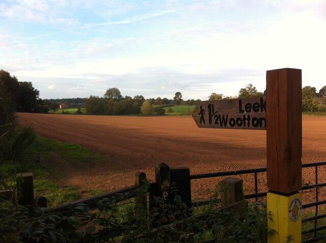
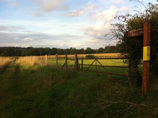
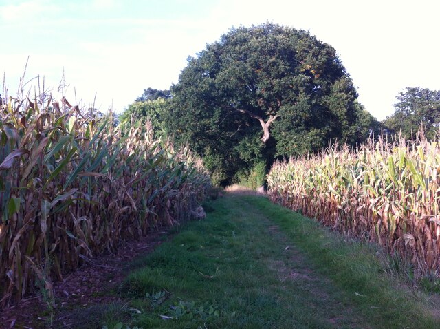
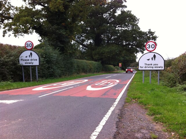
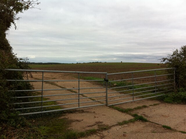
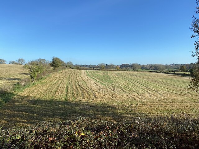
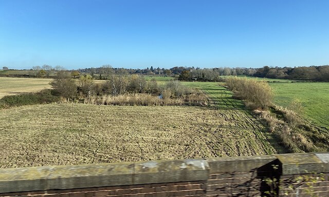
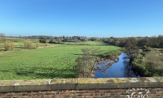
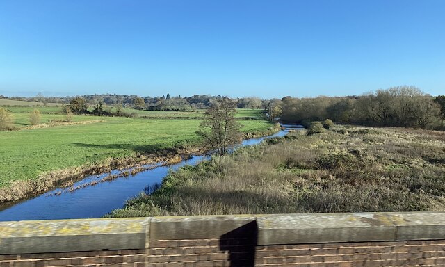
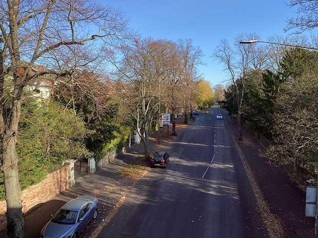
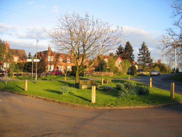
Old Milverton is a small village located in the county of Warwickshire, England. Situated approximately 3 miles southeast of the historic town of Leamington Spa, Old Milverton is known for its picturesque countryside and charming rural atmosphere. The village is surrounded by rolling hills, lush green fields, and meandering streams, which make it an ideal destination for nature enthusiasts and walkers.

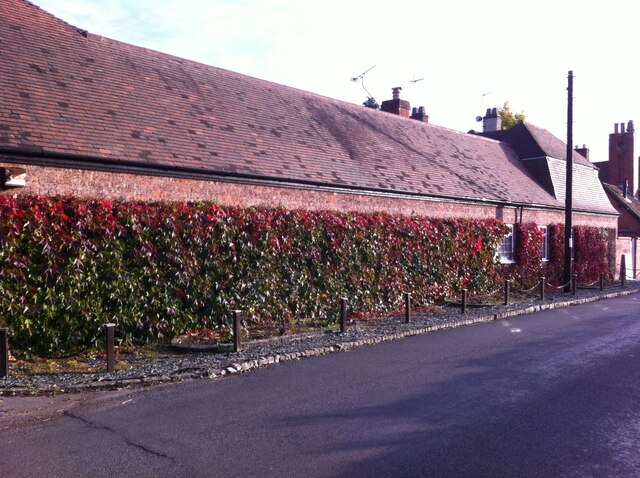
The heart of Old Milverton is its quaint village center, which features a collection of historic buildings, including a beautiful 12th-century church dedicated to St. James. The church's stunning architecture and peaceful surroundings make it a popular spot for visitors seeking tranquility and a glimpse into the village's rich history.

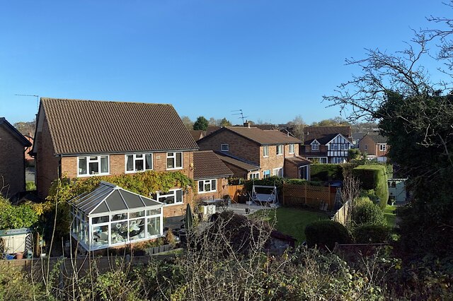
Despite its small size, Old Milverton offers a range of amenities for residents and visitors alike. The village has a lively community spirit, with various social clubs and events held throughout the year. Additionally, a local pub serves as a gathering place for locals and visitors to enjoy a drink or a meal while immersing themselves in the village's friendly ambiance.

The surrounding area of Old Milverton is home to several notable landmarks and attractions. Warwick Castle, one of the most well-preserved medieval castles in England, is located just a short drive away. The nearby town of Leamington Spa offers a wide range of shops, restaurants, and cultural activities, providing further entertainment options for those visiting Old Milverton.

In conclusion, Old Milverton is a charming village in Warwickshire that offers a peaceful retreat from the hustle and bustle of nearby towns. With its beautiful countryside, historic buildings, and friendly community, it is a place that delights visitors with its natural beauty and timeless charm.

If you have any feedback on the listing, please let us know in the comments section below.

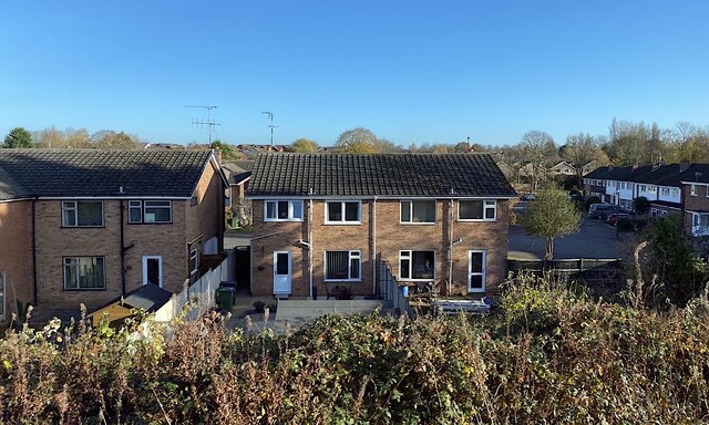
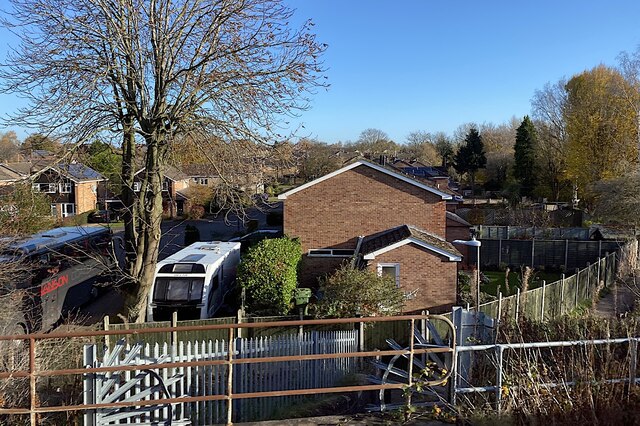
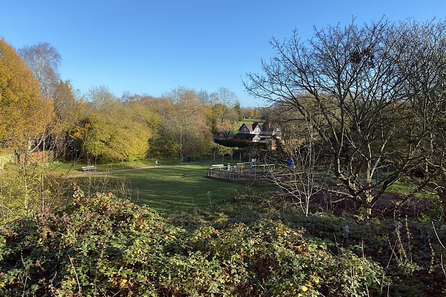
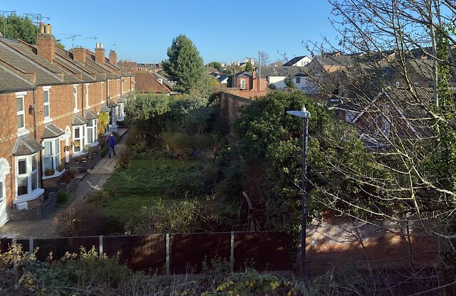
Old Milverton Images

Images are sourced within 2km of 52.30421/-1.560646 or Grid Reference SP3067. Thanks to Geograph Open Source API. All images are credited.

Field Path from Hill Wootton Road to Wootton Spinnies The path along the edge of a ploughed field is indicated by a sign of the distinctive design of the Kenilworth Footpath Preservation Group. In the Spinnies, a linear wood by the River Avon, the path divides, one route continuing to Chesford Bridge over the Avon, the other to Leek Wootton village as indicated on the sign.
Field Path from Hill Wootton Road to Wootton Spinnies
The path along the edge of a ploughed field is indicated by a sign of the distinctive design of the Kenilworth Footpath Preservation Group. In the Spinnies, a linear wood by the River Avon, the path divides, one route continuing to Chesford Bridge over the Avon, the other to Leek Wootton village as indicated on the sign.
Footpath from Hill Wootton village to Wootton Spinnies and Kenilworth Road The direction of the path is indicated by a signpost of the distinctive design of the Kenilworth Footpaths Preservation Group. Wootton Spinnies by the River Avon can be seen on the horizon.
Footpath from Hill Wootton village to Wootton Spinnies and Kenilworth Road
The direction of the path is indicated by a signpost of the distinctive design of the Kenilworth Footpaths Preservation Group. Wootton Spinnies by the River Avon can be seen on the horizon.
Wall with Virginia creeper, Hill Wootton Road This well-covered wall, and an unusual mansard roof behind the telegraph pole giving it a rather French appearance, can be seen in Hill Wootton village.
Wall with Virginia creeper, Hill Wootton Road
This well-covered wall, and an unusual mansard roof behind the telegraph pole giving it a rather French appearance, can be seen in Hill Wootton village.
Path through the maize to Wootton Spinnies Tall maize plants heavy with cobs frame an oak tree on the edge of Wootton Spinnies, a linear wood which runs along the bank of the River Avon, then continues to the west in a sinuous path towards Leek Wootton village.
Path through the maize to Wootton Spinnies
Tall maize plants heavy with cobs frame an oak tree on the edge of Wootton Spinnies, a linear wood which runs along the bank of the River Avon, then continues to the west in a sinuous path towards Leek Wootton village.
Speed Limit, Sandy Lane, Old Milverton The car is coming away from Old Milverton, along Sandy Lane towards Blackdown, and has just crossed the bridge over the Leamington-Coventry railway, the parapet of which can be seen behind the car to its right.
Speed Limit, Sandy Lane, Old Milverton
The car is coming away from Old Milverton, along Sandy Lane towards Blackdown, and has just crossed the bridge over the Leamington-Coventry railway, the parapet of which can be seen behind the car to its right.
Hill with trig point seen from Sandy Lane, Old Milverton The trig point, which is 73m above sea level according to the OS map, can be seen on the horizon above the right hand gate.
Hill with trig point seen from Sandy Lane, Old Milverton
The trig point, which is 73m above sea level according to the OS map, can be seen on the horizon above the right hand gate.
Footpaths by Rock Mill Lane, Milverton The paths are seen looking north from the Portobello Bridge that takes Emscote Road over the River Avon, which runs among the trees on the left hand side of the picture. In the distance, to the right, can be seen the new bridge that carries Sir Anthony Eden Way over the river and, behind it, the 18th century Rock Mill building, now converted to housing.
Footpaths by Rock Mill Lane, Milverton
The paths are seen looking north from the Portobello Bridge that takes Emscote Road over the River Avon, which runs among the trees on the left hand side of the picture. In the distance, to the right, can be seen the new bridge that carries Sir Anthony Eden Way over the river and, behind it, the 18th century Rock Mill building, now converted to housing.
Stubble field, northern edge of the Avon valley Seen from a Coventry-Leamington Spa train. The Avon is to the right. In the distance is the Blackdown area north of Leamington.
Stubble field, northern edge of the Avon valley
Seen from a Coventry-Leamington Spa train. The Avon is to the right. In the distance is the Blackdown area north of Leamington.
A pond and a ditch in the Avon floodplain north of Leamington The River Avon runs by the trees on the right. The suburb of Blackdown is in the distance. The view is from a Coventry-Leamington Spa train on a viaduct.
A pond and a ditch in the Avon floodplain north of Leamington
The River Avon runs by the trees on the right. The suburb of Blackdown is in the distance. The view is from a Coventry-Leamington Spa train on a viaduct.
River Avon and its floodplain north of Leamington The view is from a Coventry-Leamington Spa train crossing the Avon on a viaduct, seen from the southeast in <a href="https://www.geograph.org.uk/photo/1539066">SP3067 : River Avon floodplain</a>.
River Avon and its floodplain north of Leamington
The view is from a Coventry-Leamington Spa train crossing the Avon on a viaduct, seen from the southeast in SP3067 : River Avon floodplain.
River Avon and its floodplain north of Old Milverton The view is from a train on the Coventry-Leamington Spa line; its history is given in <a href="https://www.geograph.org.uk/photo/1915766">SP3067 : Railway at Old Milverton</a>.
River Avon and its floodplain north of Old Milverton
The view is from a train on the Coventry-Leamington Spa line; its history is given in SP3067 : Railway at Old Milverton.
Houses and gardens, Beverley Hills estate, Royal Leamington Spa The nearest houses are in Hopton Croft, seen from a Coventry-Leamington Spa train.
Houses and gardens, Beverley Hills estate, Royal Leamington Spa
The nearest houses are in Hopton Croft, seen from a Coventry-Leamington Spa train.
Rear of Ravensdale Avenue, Beverley Hills estate, Royal Leamington Spa Penrith Close is on the right, seen from a Coventry-Leamington Spa train.
Rear of Ravensdale Avenue, Beverley Hills estate, Royal Leamington Spa
Penrith Close is on the right, seen from a Coventry-Leamington Spa train.
Gable end, Penrith Close, Beverley Hills estate, Royal Leamington Spa In this view from a Coventry-Leamington Spa train the footpath, right, passes obliquely under the railway bridge in the foreground.
Gable end, Penrith Close, Beverley Hills estate, Royal Leamington Spa
In this view from a Coventry-Leamington Spa train the footpath, right, passes obliquely under the railway bridge in the foreground.
Open space and play area, Beverley Hills estate, Royal Leamington Spa This pleasant open space, a footpath crossroads, took its name from a nearby house, perhaps that in the background: Dragon something.
Open space and play area, Beverley Hills estate, Royal Leamington Spa
This pleasant open space, a footpath crossroads, took its name from a nearby house, perhaps that in the background: Dragon something.
Rear gardens, Milverton, Royal Leamington Spa On the left, small private gardens are across a common footpath access to their corresponding front doors, an unusual arrangement in the area. The rear of this terrace faces Rugby Road. The common access is thought to be off the footpath in the foreground, which runs between Rugby Road and Warwick New Road at the foot of the railway embankment; in the past it may have related to Milverton station, long gone. In shadow on the right of the photo are properties in unadopted Conway Road and the rear of villas in Warwick New Road.
Rear gardens, Milverton, Royal Leamington Spa
On the left, small private gardens are across a common footpath access to their corresponding front doors, an unusual arrangement in the area. The rear of this terrace faces Rugby Road. The common access is thought to be off the footpath in the foreground, which runs between Rugby Road and Warwick New Road at the foot of the railway embankment; in the past it may have related to Milverton station, long gone. In shadow on the right of the photo are properties in unadopted Conway Road and the rear of villas in Warwick New Road.
East towards Leamington on Warwick New Road, Milverton, Royal Leamington Spa From the early 1820s two landowners, Edward Willes and the Earl of Warwick, created a new direct toll-free road between Leamington's growing New Town and Warwick. The stone bridge across the Avon at Portobello was completed in the late 1820s <a href="https://www.geograph.org.uk/photo/3230">SP3065 : Portobello Bridge, Milverton</a>. The road stimulated residential development in Milverton, west of Leamington. Warwick New Road, seen here from a Coventry-Leamington Spa train, is lined with big villas <a href="https://www.geograph.org.uk/photo/6002122">SP3065 : Victorian Housing, Warwick New Road</a>. The first railway connection to the area opened in 1844 between Coventry and Milverton, midway between the town centres, extended around 1850 <a href="https://www.geograph.org.uk/photo/1670005">SP3065 : Looking east at the three-arch railway viaduct on Warwick New Road</a>.
East towards Leamington on Warwick New Road, Milverton, Royal Leamington Spa
From the early 1820s two landowners, Edward Willes and the Earl of Warwick, created a new direct toll-free road between Leamington's growing New Town and Warwick. The stone bridge across the Avon at Portobello was completed in the late 1820s SP3065 : Portobello Bridge, Milverton. The road stimulated residential development in Milverton, west of Leamington. Warwick New Road, seen here from a Coventry-Leamington Spa train, is lined with big villas SP3065 : Victorian Housing, Warwick New Road. The first railway connection to the area opened in 1844 between Coventry and Milverton, midway between the town centres, extended around 1850 SP3065 : Looking east at the three-arch railway viaduct on Warwick New Road.
Warwickshire College of Further Education The mature conifers are a sure sign that decades ago there were Victorian villas and gardens here.
Warwickshire College of Further Education
The mature conifers are a sure sign that decades ago there were Victorian villas and gardens here.
Show me another place!

Old Milverton is located at Grid Ref: SP3067 (Lat: 52.30421, Lng: -1.560646)

Administrative County: Warwickshire

District: Warwick

Police Authority: Warwickshire

What 3 Words

///pumps.employ.causes. Near Leek Wootton, Warwickshire

Related Wikis

Old Milverton

Old Milverton is a hamlet east of Warwick and north west of Leamington Spa in Warwickshire, England, and situated in a bend of the River Avon. The population...

Guy's Cliffe

Guy's Cliffe (variously spelled with and without an apostrophe and a final "e") is a hamlet and former civil parish on the River Avon and the Coventry...
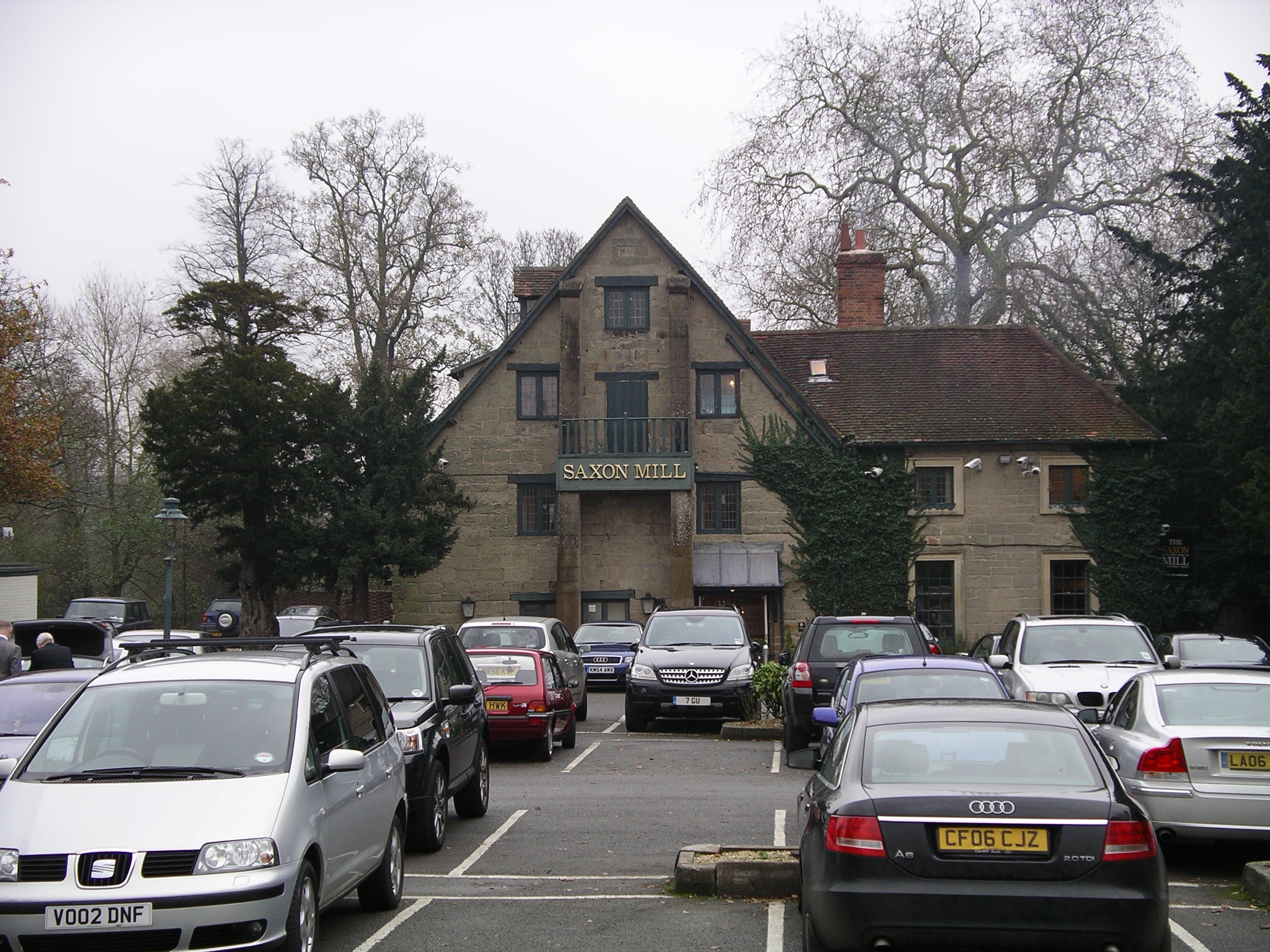
Saxon Mill

The Saxon Mill is a former mill at Guy's Cliffe, Warwickshire, England, situated about one mile northeast of the town of Warwick. It is now a restaurant...

Warwick International School of Riding

The Warwick International School of Riding is a school of equitation (horsemanship), located just north of Warwick, Warwickshire, England. The school caters...

Nearby Amenities

Located within 500m of 52.30421,-1.560646
Naptan AtcoCode: 4200F051700
Naptan Bearing: E
Naptan BusStopType: CUS
Naptan CommonName: Telephone Box
Naptan Indicator: Adj
Naptan Landmark: Telephone Box
Naptan NaptanCode: warawamw
Naptan PlusbusZoneRef: LMNGTNS
Naptan Street: Old Milverton Road
Naptan Verified: no
Note: removed prior to 2015.
Removed Name: Telephone Box
Source: naptan_import
Lat/Long: 52.3045158/-1.5607129
Barrier: lych_gate
Foot: yes
Lat/Long: 52.3040409/-1.5658954
Hazard: curve
Lat/Long: 52.3020361/-1.5597156
Give Way
Direction: forward
Lat/Long: 52.3042501/-1.5606942
Man Made: utility_pole
Material: wood
Operator: Openreach
Utility: telecom
Lat/Long: 52.3004466/-1.5598003
Barrier: kissing_gate
Lat/Long: 52.3029574/-1.5595969
Post Box
Brand: Royal Mail
Brand Wikidata: Q638098
Brand Wikipedia: en:Royal Mail
Collection Times: Mo-Fr 16:15; Sa 07:45
Operator: Royal Mail
Operator Wikidata: Q638098
Post Box Type: lamp
Ref: CV32 115
Royal Cypher: EIIR
Royal Cypher Wikidata: Q33102113
Source: survey
Lat/Long: 52.3044933/-1.5608387
Waste Basket
Source: survey
Waste: trash
Lat/Long: 52.3045114/-1.5607475
Bench
Backrest: yes
Material: wood
Seats: 3
Source: survey
Lat/Long: 52.3045048/-1.560785
Barrier: kissing_gate
Foot: yes
Lat/Long: 52.3037844/-1.5665014
Bench
Backrest: yes
Material: stone
Seats: 3
Lat/Long: 52.3044011/-1.5608141
Generator Method: photovoltaic
Generator Output Electricity: yes
Generator Source: solar
Generator Type: solar_photovoltaic_panel
Location: roof
Power: generator
Lat/Long: 52.3006624/-1.5562677
Give Way
Direction: backward
Lat/Long: 52.3045046/-1.5605226
Brand: National Grid
Brand Wikidata: Q1465461
Line Attachment: suspension
Line Management: straight
Material: wood
Operator: National Grid Electricity Distribution
Operator Old: Western Power Distribution
Operator Wikidata: Q7988183
Owner: National Grid Electricity Distribution (East Midlands) Plc
Owner Wikidata: Q114348127
Power: pole
Lat/Long: 52.2998551/-1.5604368
Man Made: utility_pole
Material: wood
Operator: Openreach
Utility: telecom
Lat/Long: 52.303104/-1.5596848
Brand: National Grid
Brand Wikidata: Q1465461
Material: wood
Operator: National Grid Electricity Distribution
Operator Old: Western Power Distribution
Operator Wikidata: Q7988183
Owner: National Grid Electricity Distribution (East Midlands) Plc
Owner Wikidata: Q114348127
Power: pole
Lat/Long: 52.3066479/-1.5619742
Man Made: utility_pole
Material: wood
Operator: Openreach
Utility: telecom
Lat/Long: 52.3042367/-1.5650746
Brand: National Grid
Brand Wikidata: Q1465461
Material: wood
Operator: National Grid Electricity Distribution
Operator Old: Western Power Distribution
Operator Wikidata: Q7988183
Owner: National Grid Electricity Distribution (East Midlands) Plc
Owner Wikidata: Q114348127
Power: pole
Lat/Long: 52.3048186/-1.5652873
Man Made: utility_pole
Material: wood
Operator: Openreach
Utility: telecom
Lat/Long: 52.3034844/-1.56011
Man Made: utility_pole
Material: wood
Operator: Openreach
Utility: telecom
Lat/Long: 52.3045037/-1.5608381
Brand: National Grid
Brand Wikidata: Q1465461
Material: wood
Operator: National Grid Electricity Distribution
Operator Old: Western Power Distribution
Operator Wikidata: Q7988183
Owner: National Grid Electricity Distribution (East Midlands) Plc
Owner Wikidata: Q114348127
Power: pole
Lat/Long: 52.3051293/-1.5652165
Brand: National Grid
Brand Wikidata: Q1465461
Material: wood
Operator: National Grid Electricity Distribution
Operator Old: Western Power Distribution
Operator Wikidata: Q7988183
Owner: National Grid Electricity Distribution (East Midlands) Plc
Owner Wikidata: Q114348127
Power: pole
Lat/Long: 52.3048125/-1.5659884
Man Made: utility_pole
Material: wood
Operator: Openreach
Utility: telecom
Lat/Long: 52.3043174/-1.5656844
Brand: National Grid
Brand Wikidata: Q1465461
Material: wood
Operator: National Grid Electricity Distribution
Operator Old: Western Power Distribution
Operator Wikidata: Q7988183
Owner: National Grid Electricity Distribution (East Midlands) Plc
Owner Wikidata: Q114348127
Power: pole
Lat/Long: 52.3043983/-1.5651039
Brand: National Grid
Brand Wikidata: Q1465461
Line Attachment: suspension
Line Management: straight
Material: wood
Operator: National Grid Electricity Distribution
Operator Old: Western Power Distribution
Operator Wikidata: Q7988183
Owner: National Grid Electricity Distribution (East Midlands) Plc
Owner Wikidata: Q114348127
Power: pole
Lat/Long: 52.3010344/-1.5606732
Brand: National Grid
Brand Wikidata: Q1465461
Location Transition: yes
Material: wood
Operator: National Grid Electricity Distribution
Operator Old: Western Power Distribution
Operator Wikidata: Q7988183
Owner: National Grid Electricity Distribution (East Midlands) Plc
Owner Wikidata: Q114348127
Power: pole
Lat/Long: 52.3028668/-1.5595739
Man Made: utility_pole
Material: wood
Operator: Openreach
Utility: telecom
Lat/Long: 52.3046143/-1.5630165
Brand: National Grid
Brand Wikidata: Q1465461
Material: wood
Operator: National Grid Electricity Distribution
Operator Old: Western Power Distribution
Operator Wikidata: Q7988183
Owner: National Grid Electricity Distribution (East Midlands) Plc
Owner Wikidata: Q114348127
Power: pole
Lat/Long: 52.3047313/-1.56018
Brand: National Grid
Brand Wikidata: Q1465461
Material: wood
Operator: National Grid Electricity Distribution
Operator Old: Western Power Distribution
Operator Wikidata: Q7988183
Owner: National Grid Electricity Distribution (East Midlands) Plc
Owner Wikidata: Q114348127
Power: pole
Lat/Long: 52.3032765/-1.5606395
Brand: National Grid
Brand Wikidata: Q1465461
Material: wood
Operator: National Grid Electricity Distribution
Operator Old: Western Power Distribution
Operator Wikidata: Q7988183
Owner: National Grid Electricity Distribution (East Midlands) Plc
Owner Wikidata: Q114348127
Power: pole
Lat/Long: 52.3006417/-1.5603283
Brand: National Grid
Brand Wikidata: Q1465461
Material: wood
Operator: National Grid Electricity Distribution
Operator Old: Western Power Distribution
Operator Wikidata: Q7988183
Owner: National Grid Electricity Distribution (East Midlands) Plc
Owner Wikidata: Q114348127
Power: pole
Lat/Long: 52.3055605/-1.561742
Man Made: utility_pole
Material: wood
Operator: Openreach
Utility: telecom
Lat/Long: 52.3045587/-1.5652763
Brand: National Grid
Brand Wikidata: Q1465461
Line Attachment: suspension
Line Management: straight
Material: wood
Operator: National Grid Electricity Distribution
Operator Old: Western Power Distribution
Operator Wikidata: Q7988183
Owner: National Grid Electricity Distribution (East Midlands) Plc
Owner Wikidata: Q114348127
Power: pole
Lat/Long: 52.3032575/-1.561197
Man Made: utility_pole
Material: wood
Operator: Openreach
Utility: telecom
Lat/Long: 52.3045639/-1.5645548
Brand: National Grid
Brand Wikidata: Q1465461
Material: wood
Operator: National Grid Electricity Distribution
Operator Old: Western Power Distribution
Operator Wikidata: Q7988183
Owner: National Grid Electricity Distribution (East Midlands) Plc
Owner Wikidata: Q114348127
Power: pole
Lat/Long: 52.3037586/-1.5597217
Brand: National Grid
Brand Wikidata: Q1465461
Line Attachment: suspension
Line Management: straight
Material: wood
Operator: National Grid Electricity Distribution
Operator Old: Western Power Distribution
Operator Wikidata: Q7988183
Owner: National Grid Electricity Distribution (East Midlands) Plc
Owner Wikidata: Q114348127
Power: pole
Lat/Long: 52.3043657/-1.5614448
Woodyard
Brand: National Grid
Brand Wikidata: Q1465461
Frequency: 50
Location Transition: yes
Material: wood
Operator: National Grid Electricity Distribution
Operator Old: Western Power Distribution
Operator Wikidata: Q7988183
Owner: National Grid Electricity Distribution (East Midlands) Plc
Owner Wikidata: Q114348127
Power: pole
Ref: 931945
Transformer: distribution
Voltage Primary: 11000
Voltage Secondary: 400
Lat/Long: 52.3034139/-1.5606214
Brand: National Grid
Brand Wikidata: Q1465461
Location Transition: yes
Material: wood
Operator: National Grid Electricity Distribution
Operator Old: Western Power Distribution
Operator Wikidata: Q7988183
Owner: National Grid Electricity Distribution (East Midlands) Plc
Owner Wikidata: Q114348127
Power: pole
Lat/Long: 52.303059/-1.5599703
Brand: National Grid
Brand Wikidata: Q1465461
Material: wood
Operator: National Grid Electricity Distribution
Operator Old: Western Power Distribution
Operator Wikidata: Q7988183
Owner: National Grid Electricity Distribution (East Midlands) Plc
Owner Wikidata: Q114348127
Power: pole
Lat/Long: 52.3016031/-1.5595993
Brand: National Grid
Brand Wikidata: Q1465461
Material: wood
Operator: National Grid Electricity Distribution
Operator Old: Western Power Distribution
Operator Wikidata: Q7988183
Owner: National Grid Electricity Distribution (East Midlands) Plc
Owner Wikidata: Q114348127
Power: pole
Lat/Long: 52.3035706/-1.5598577
Brand: National Grid
Brand Wikidata: Q1465461
Material: wood
Operator: National Grid Electricity Distribution
Operator Old: Western Power Distribution
Operator Wikidata: Q7988183
Owner: National Grid Electricity Distribution (East Midlands) Plc
Owner Wikidata: Q114348127
Power: pole
Lat/Long: 52.3041659/-1.5598845
Brand: National Grid
Brand Wikidata: Q1465461
Line Attachment: suspension
Line Management: straight
Material: wood
Operator: National Grid Electricity Distribution
Operator Old: Western Power Distribution
Operator Wikidata: Q7988183
Owner: National Grid Electricity Distribution (East Midlands) Plc
Owner Wikidata: Q114348127
Power: pole
Lat/Long: 52.3021123/-1.5609327
Man Made: utility_pole
Material: wood
Operator: Openreach
Utility: telecom
Lat/Long: 52.3041104/-1.5606238
Brand: National Grid
Brand Wikidata: Q1465461
Material: wood
Operator: National Grid Electricity Distribution
Operator Old: Western Power Distribution
Operator Wikidata: Q7988183
Owner: National Grid Electricity Distribution (East Midlands) Plc
Owner Wikidata: Q114348127
Power: pole
Lat/Long: 52.3044105/-1.5654951
Brand: National Grid
Brand Wikidata: Q1465461
Material: wood
Operator: National Grid Electricity Distribution
Operator Old: Western Power Distribution
Operator Wikidata: Q7988183
Owner: National Grid Electricity Distribution (East Midlands) Plc
Owner Wikidata: Q114348127
Power: pole
Lat/Long: 52.3044073/-1.5600125
Brand: National Grid
Brand Wikidata: Q1465461
Material: wood
Operator: National Grid Electricity Distribution
Operator Old: Western Power Distribution
Operator Wikidata: Q7988183
Owner: National Grid Electricity Distribution (East Midlands) Plc
Owner Wikidata: Q114348127
Power: pole
Lat/Long: 52.3000616/-1.5595701
Brand: National Grid
Brand Wikidata: Q1465461
Material: wood
Operator: National Grid Electricity Distribution
Operator Old: Western Power Distribution
Operator Wikidata: Q7988183
Owner: National Grid Electricity Distribution (East Midlands) Plc
Owner Wikidata: Q114348127
Power: pole
Lat/Long: 52.3011705/-1.5597223
Brand: National Grid
Brand Wikidata: Q1465461
Material: wood
Operator: National Grid Electricity Distribution
Operator Old: Western Power Distribution
Operator Wikidata: Q7988183
Owner: National Grid Electricity Distribution (East Midlands) Plc
Owner Wikidata: Q114348127
Power: pole
Lat/Long: 52.3046651/-1.5665918
Brand: National Grid
Brand Wikidata: Q1465461
Material: wood
Operator: National Grid Electricity Distribution
Operator Old: Western Power Distribution
Operator Wikidata: Q7988183
Owner: National Grid Electricity Distribution (East Midlands) Plc
Owner Wikidata: Q114348127
Power: pole
Lat/Long: 52.3039964/-1.5649402
Brand: National Grid
Brand Wikidata: Q1465461
Material: wood
Operator: National Grid Electricity Distribution
Operator Old: Western Power Distribution
Operator Wikidata: Q7988183
Owner: National Grid Electricity Distribution (East Midlands) Plc
Owner Wikidata: Q114348127
Power: pole
Lat/Long: 52.3042323/-1.5651393
Brand: National Grid
Brand Wikidata: Q1465461
Material: wood
Operator: National Grid Electricity Distribution
Operator Old: Western Power Distribution
Operator Wikidata: Q7988183
Owner: National Grid Electricity Distribution (East Midlands) Plc
Owner Wikidata: Q114348127
Power: pole
Lat/Long: 52.3022101/-1.5595758
Brand: National Grid
Brand Wikidata: Q1465461
Material: wood
Operator: National Grid Electricity Distribution
Operator Old: Western Power Distribution
Operator Wikidata: Q7988183
Owner: National Grid Electricity Distribution (East Midlands) Plc
Owner Wikidata: Q114348127
Power: pole
Lat/Long: 52.3033999/-1.5605941
Brand: National Grid
Brand Wikidata: Q1465461
Material: wood
Operator: National Grid Electricity Distribution
Operator Old: Western Power Distribution
Operator Wikidata: Q7988183
Owner: National Grid Electricity Distribution (East Midlands) Plc
Owner Wikidata: Q114348127
Power: pole
Lat/Long: 52.3005392/-1.5598003
Brand: National Grid
Brand Wikidata: Q1465461
Material: wood
Operator: National Grid Electricity Distribution
Operator Old: Western Power Distribution
Operator Wikidata: Q7988183
Owner: National Grid Electricity Distribution (East Midlands) Plc
Owner Wikidata: Q114348127
Power: pole
Lat/Long: 52.3008402/-1.5597783
Brand: National Grid
Brand Wikidata: Q1465461
Material: wood
Operator: National Grid Electricity Distribution
Operator Old: Western Power Distribution
Operator Wikidata: Q7988183
Owner: National Grid Electricity Distribution (East Midlands) Plc
Owner Wikidata: Q114348127
Power: pole
Lat/Long: 52.3036705/-1.5646334
Man Made: manhole
Manhole: telecom
Operator: Openreach
Lat/Long: 52.3041088/-1.5606308
Brand: National Grid
Brand Wikidata: Q1465461
Location Transition: yes
Material: wood
Operator: National Grid Electricity Distribution
Operator Old: Western Power Distribution
Operator Wikidata: Q7988183
Owner: National Grid Electricity Distribution (East Midlands) Plc
Owner Wikidata: Q114348127
Power: pole
Lat/Long: 52.3050719/-1.5621542
Generator Method: photovoltaic
Generator Output Electricity: yes
Generator Source: solar
Generator Type: solar_photovoltaic_panel
Location: roof
Power: generator
Lat/Long: 52.3049724/-1.562828
Brand: National Grid
Brand Wikidata: Q1465461
Material: wood
Operator: National Grid Electricity Distribution
Operator Old: Western Power Distribution
Operator Wikidata: Q7988183
Owner: National Grid Electricity Distribution (East Midlands) Plc
Owner Wikidata: Q114348127
Power: pole
Lat/Long: 52.3051198/-1.5644121
Brand: National Grid
Brand Wikidata: Q1465461
Material: wood
Operator: National Grid Electricity Distribution
Operator Old: Western Power Distribution
Operator Wikidata: Q7988183
Owner: National Grid Electricity Distribution (East Midlands) Plc
Owner Wikidata: Q114348127
Power: pole
Lat/Long: 52.3050889/-1.5633691
Brand: National Grid
Brand Wikidata: Q1465461
Location Transition: yes
Material: wood
Operator: National Grid Electricity Distribution
Operator Old: Western Power Distribution
Operator Wikidata: Q7988183
Owner: National Grid Electricity Distribution (East Midlands) Plc
Owner Wikidata: Q114348127
Power: pole
Lat/Long: 52.3048514/-1.5610235
Brand: National Grid
Brand Wikidata: Q1465461
Material: wood
Operator: National Grid Electricity Distribution
Operator Old: Western Power Distribution
Operator Wikidata: Q7988183
Owner: National Grid Electricity Distribution (East Midlands) Plc
Owner Wikidata: Q114348127
Power: pole
Lat/Long: 52.2998892/-1.5600262
Man Made: utility_pole
Material: wood
Operator: Openreach
Utility: telecom
Lat/Long: 52.3002389/-1.5596497
Man Made: utility_pole
Material: wood
Operator: Openreach
Utility: telecom
Lat/Long: 52.3000506/-1.5597437
Man Made: manhole
Manhole: telecom
Operator: Openreach
Lat/Long: 52.300236/-1.5596627
Brand: National Grid
Brand Wikidata: Q1465461
Material: wood
Operator: National Grid Electricity Distribution
Operator Old: Western Power Distribution
Operator Wikidata: Q7988183
Owner: National Grid Electricity Distribution (East Midlands) Plc
Owner Wikidata: Q114348127
Power: pole
Lat/Long: 52.302951/-1.5604067
Brand: National Grid
Brand Wikidata: Q1465461
Material: wood
Operator: National Grid Electricity Distribution
Operator Old: Western Power Distribution
Operator Wikidata: Q7988183
Owner: National Grid Electricity Distribution (East Midlands) Plc
Owner Wikidata: Q114348127
Power: pole
Lat/Long: 52.3034455/-1.5646284
Brand: National Grid
Brand Wikidata: Q1465461
Material: wood
Operator: National Grid Electricity Distribution
Operator Old: Western Power Distribution
Operator Wikidata: Q7988183
Owner: National Grid Electricity Distribution (East Midlands) Plc
Owner Wikidata: Q114348127
Power: pole
Lat/Long: 52.3002868/-1.5599616
Generator Method: photovoltaic
Generator Output Electricity: yes
Generator Solar Modules: 8
Generator Source: solar
Generator Type: solar_photovoltaic_panel
Location: roof
Power: generator
Lat/Long: 52.3049448/-1.5639163
Brand: National Grid
Brand Wikidata: Q1465461
Material: wood
Operator: National Grid Electricity Distribution
Operator Old: Western Power Distribution
Operator Wikidata: Q7988183
Owner: National Grid Electricity Distribution (East Midlands) Plc
Owner Wikidata: Q114348127
Power: pole
Lat/Long: 52.3060454/-1.5671877
Brand: National Grid
Brand Wikidata: Q1465461
Material: wood
Operator: National Grid Electricity Distribution
Operator Old: Western Power Distribution
Operator Wikidata: Q7988183
Owner: National Grid Electricity Distribution (East Midlands) Plc
Owner Wikidata: Q114348127
Power: pole
Lat/Long: 52.305473/-1.566694
Old Milverton
Brand: National Grid
Brand Wikidata: Q1465461
Frequency: 50
Location Transition: yes
Material: wood
Operator: National Grid Electricity Distribution
Operator Old: Western Power Distribution
Operator Wikidata: Q7988183
Owner: National Grid Electricity Distribution (East Midlands) Plc
Owner Wikidata: Q114348127
Power: pole
Ref: 931944
Transformer: distribution
Voltage Primary: 11000
Voltage Secondary: 400
Lat/Long: 52.3048238/-1.5660782
Brand: National Grid
Brand Wikidata: Q1465461
Material: wood
Operator: National Grid Electricity Distribution
Operator Old: Western Power Distribution
Operator Wikidata: Q7988183
Owner: National Grid Electricity Distribution (East Midlands) Plc
Owner Wikidata: Q114348127
Power: pole
Lat/Long: 52.3027638/-1.5642516
Brand: National Grid
Brand Wikidata: Q1465461
Material: wood
Operator: National Grid Electricity Distribution
Operator Old: Western Power Distribution
Operator Wikidata: Q7988183
Owner: National Grid Electricity Distribution (East Midlands) Plc
Owner Wikidata: Q114348127
Power: pole
Lat/Long: 52.3027884/-1.5647559
Brand: National Grid
Brand Wikidata: Q1465461
Material: wood
Operator: National Grid Electricity Distribution
Operator Old: Western Power Distribution
Operator Wikidata: Q7988183
Owner: National Grid Electricity Distribution (East Midlands) Plc
Owner Wikidata: Q114348127
Power: pole
Lat/Long: 52.3022455/-1.5646325
Brand: National Grid
Brand Wikidata: Q1465461
Material: wood
Operator: National Grid Electricity Distribution
Operator Old: Western Power Distribution
Operator Wikidata: Q7988183
Owner: National Grid Electricity Distribution (East Midlands) Plc
Owner Wikidata: Q114348127
Power: pole
Lat/Long: 52.302048/-1.5638994
Brand: National Grid
Brand Wikidata: Q1465461
Material: wood
Operator: National Grid Electricity Distribution
Operator Old: Western Power Distribution
Operator Wikidata: Q7988183
Owner: National Grid Electricity Distribution (East Midlands) Plc
Owner Wikidata: Q114348127
Power: pole
Lat/Long: 52.3016363/-1.5636943
Brand: National Grid
Brand Wikidata: Q1465461
Material: wood
Operator: National Grid Electricity Distribution
Operator Old: Western Power Distribution
Operator Wikidata: Q7988183
Owner: National Grid Electricity Distribution (East Midlands) Plc
Owner Wikidata: Q114348127
Power: pole
Lat/Long: 52.3011569/-1.5640082
Brand: National Grid
Brand Wikidata: Q1465461
Material: wood
Operator: National Grid Electricity Distribution
Operator Old: Western Power Distribution
Operator Wikidata: Q7988183
Owner: National Grid Electricity Distribution (East Midlands) Plc
Owner Wikidata: Q114348127
Power: pole
Lat/Long: 52.3017121/-1.5645715
Brand: National Grid
Brand Wikidata: Q1465461
Material: wood
Operator: National Grid Electricity Distribution
Operator Old: Western Power Distribution
Operator Wikidata: Q7988183
Owner: National Grid Electricity Distribution (East Midlands) Plc
Owner Wikidata: Q114348127
Power: pole
Lat/Long: 52.3076865/-1.5622191
Street Lamp
Lamp Mount: straight_mast
Lamp Type: led
Man Made: utility_pole
Material: steel
Operator: Warwickshire County Council
Ref: 6
Utility: street_lighting
Lat/Long: 52.3005041/-1.5568521
Street Lamp
Lamp Mount: straight_mast
Lamp Type: led
Man Made: utility_pole
Material: steel
Operator: Warwickshire County Council
Ref: 7
Utility: street_lighting
Lat/Long: 52.3005193/-1.5571787
Street Lamp
Lamp Mount: bent_mast
Man Made: utility_pole
Operator: Warwick District Council
Utility: street_lighting
Lat/Long: 52.3030088/-1.5596232
Street Lamp
Lamp Mount: bent_mast
Man Made: utility_pole
Operator: Warwick District Council
Utility: street_lighting
Lat/Long: 52.3036767/-1.5601183
Street Lamp
Lamp Mount: straight_mast
Lamp Type: led
Man Made: utility_pole
Operator: Warwick District Council
Utility: street_lighting
Lat/Long: 52.304412/-1.560688
Street Lamp
Lamp Mount: bent_mast
Lamp Type: metal-halide
Man Made: utility_pole
Operator: Warwick District Council
Utility: street_lighting
Lat/Long: 52.3046989/-1.5628958
Street Lamp
Lamp Mount: bent_mast
Man Made: utility_pole
Operator: Warwick District Council
Utility: street_lighting
Lat/Long: 52.3046423/-1.5648003
Street Lamp
Lamp Mount: bent_mast
Lamp Type: high_pressure_sodium
Man Made: utility_pole
Operator: Warwick District Council
Utility: street_lighting
Lat/Long: 52.3041576/-1.5658863
Traffic Mirror
Lat/Long: 52.3031484/-1.5597134
Direction: backward
Maxspeed: 40 mph
Traffic Sign: maxspeed
Lat/Long: 52.3024974/-1.5597081
Direction: backward
Maxspeed: 50 mph
Traffic Sign: maxspeed
Lat/Long: 52.3045675/-1.5578004
Hazard: curve
Lat/Long: 52.3046556/-1.5587245
Hazard: curve
Lat/Long: 52.3037301/-1.5602246
Direction: both
Maxspeed: 50 mph
Traffic Sign: maxspeed
Traffic Sign Direction: both
Lat/Long: 52.304684/-1.5545378
Direction: forward
Maxspeed: 40 mph
Traffic Sign: maxspeed
Lat/Long: 52.3003728/-1.559738
Board Type: notice
Information: board
Tourism: information
Lat/Long: 52.3044924/-1.5608701
Fire Hydrant
Emergency: fire_hydrant
Fire Hydrant Diameter Signed: no
Fire Hydrant Position: sidewalk
Fire Hydrant Type: underground
Operator: Severn Trent Water
Water Source: main
Lat/Long: 52.3004146/-1.5571294
Barrier: kissing_gate
Foot: yes
Lat/Long: 52.3040715/-1.5659139
Barrier: kissing_gate
Lat/Long: 52.3032183/-1.5656747
Generator Method: photovoltaic
Generator Output Electricity: yes
Generator Source: solar
Generator Type: solar_photovoltaic_panel
Location: roof
Power: generator
Lat/Long: 52.3006742/-1.5565222
The data included in this document is from www.openstreetmap.org. The data is made available under ODbL.

Have you been to Old Milverton?

Leave your review of Old Milverton below (or comments, questions and feedback).