Old Milverton
Civil Parish in Warwickshire Warwick
England
Old Milverton
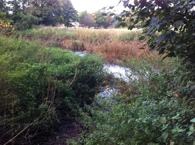
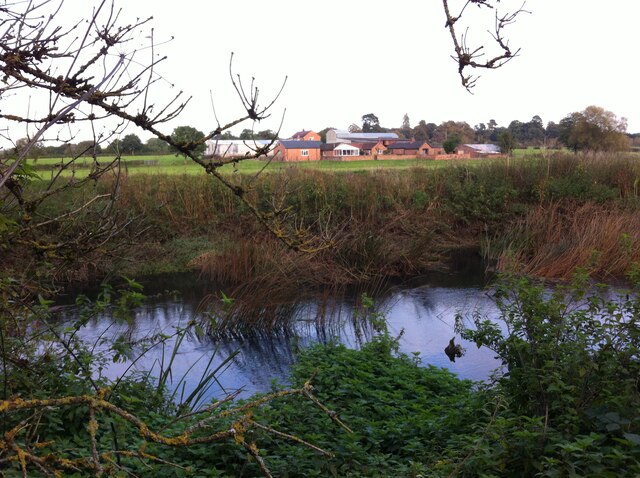
Old Milverton is a civil parish located in the county of Warwickshire, England. Situated approximately 2 miles north of the town of Leamington Spa, it covers an area of about 2.5 square kilometers. The parish is bordered by the River Avon to the west and the Grand Union Canal to the east.
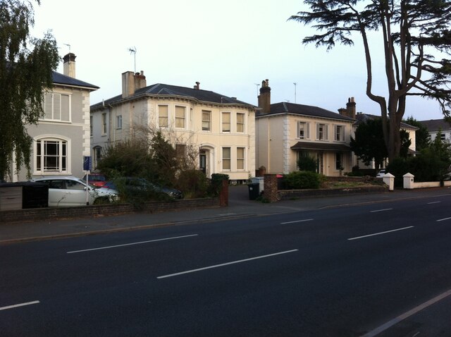
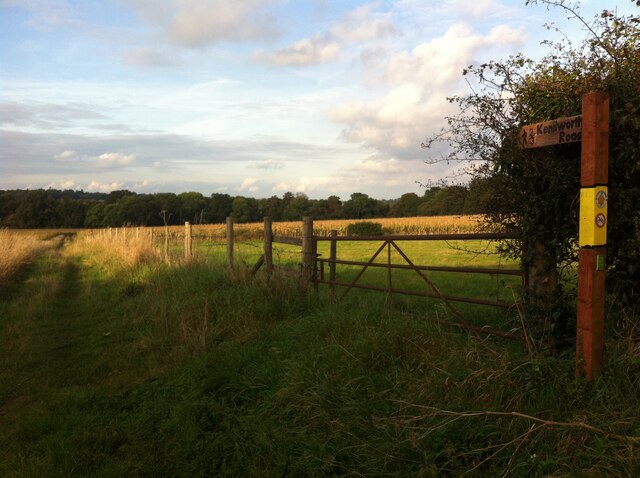
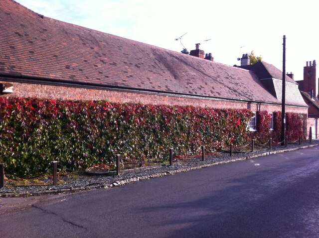
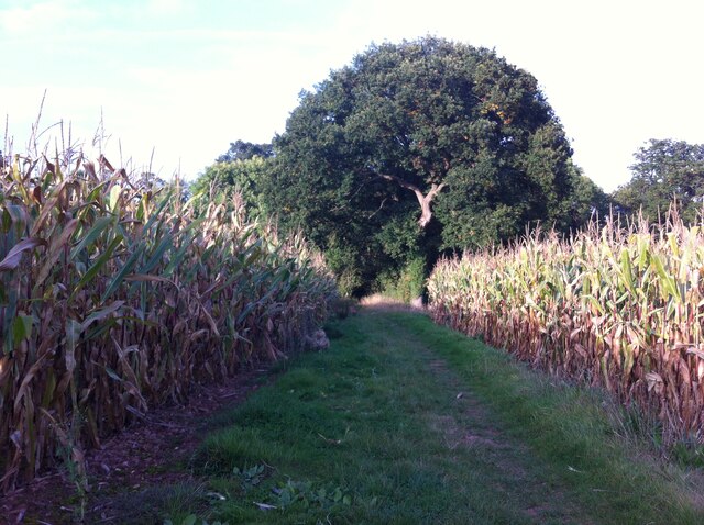
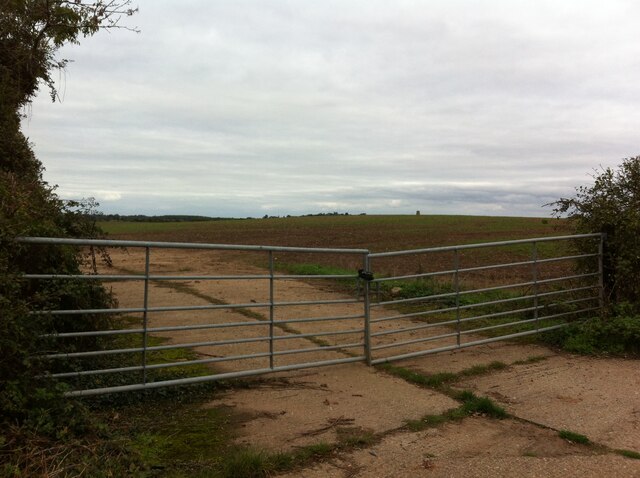
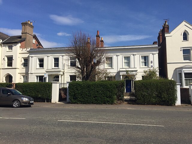
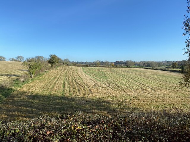
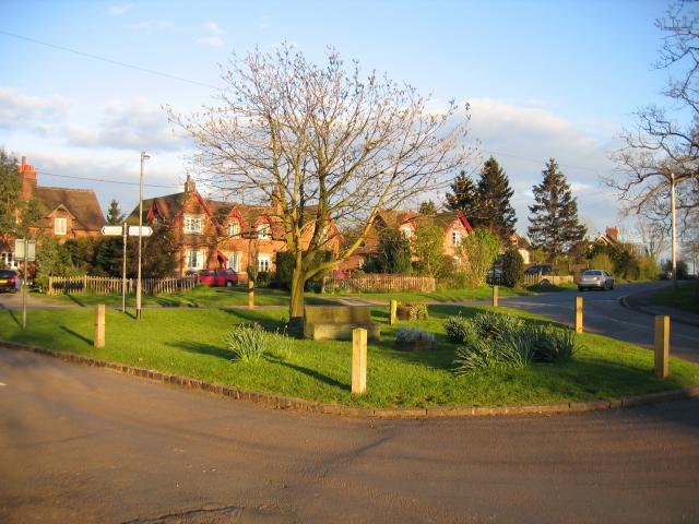
The village of Old Milverton has a population of around 300 residents. It is known for its picturesque countryside and rural charm, with many historic buildings and landmarks. The parish includes several farms and open fields, providing a scenic backdrop for outdoor activities such as walking and cycling.
One of the notable landmarks in Old Milverton is the Grade II listed St. James' Church, which dates back to the 13th century. The church features stunning architectural details, including a Norman tower and stained glass windows. It serves as a place of worship for the local community and is also a popular tourist attraction.
The village itself has a small primary school, a village hall, and a pub. Many of the properties in Old Milverton are traditional cottages and farmhouses, adding to the area's rustic character.
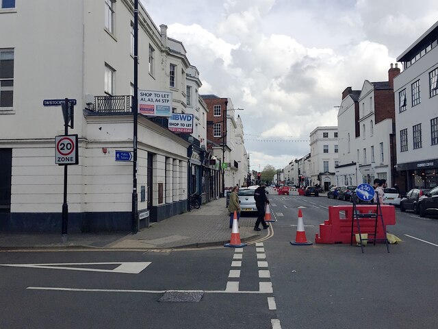
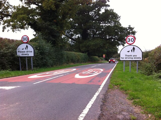
Old Milverton's location offers easy access to nearby towns and cities, including Leamington Spa and Warwick. The parish is well connected by road, with the A452 passing through the outskirts of the village. Additionally, the nearby Leamington Spa railway station provides regular train services to London and Birmingham.
If you have any feedback on the listing, please let us know in the comments section below.
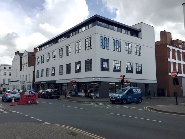
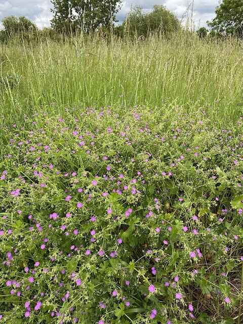
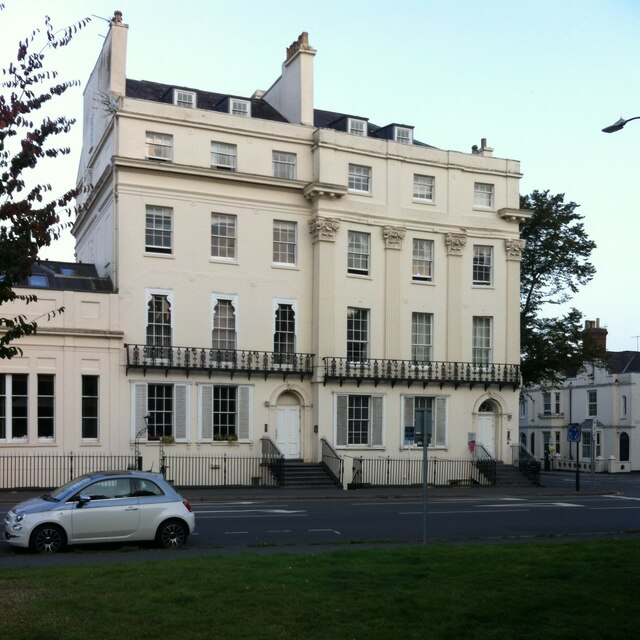
Old Milverton Images
Images are sourced within 2km of 52.305586/-1.553461 or Grid Reference SP3067. Thanks to Geograph Open Source API. All images are credited.
Old Milverton is located at Grid Ref: SP3067 (Lat: 52.305586, Lng: -1.553461)
Administrative County: Warwickshire
District: Warwick
Police Authority: Warwickshire
What 3 Words
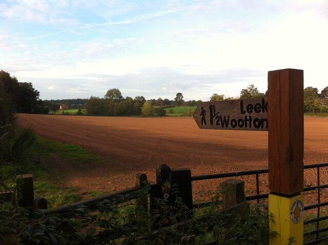
///tens.faster.hers. Near Leek Wootton, Warwickshire
Nearby Locations
Related Wikis
Old Milverton
Old Milverton is a hamlet east of Warwick and north west of Leamington Spa in Warwickshire, England, and situated in a bend of the River Avon. The population...
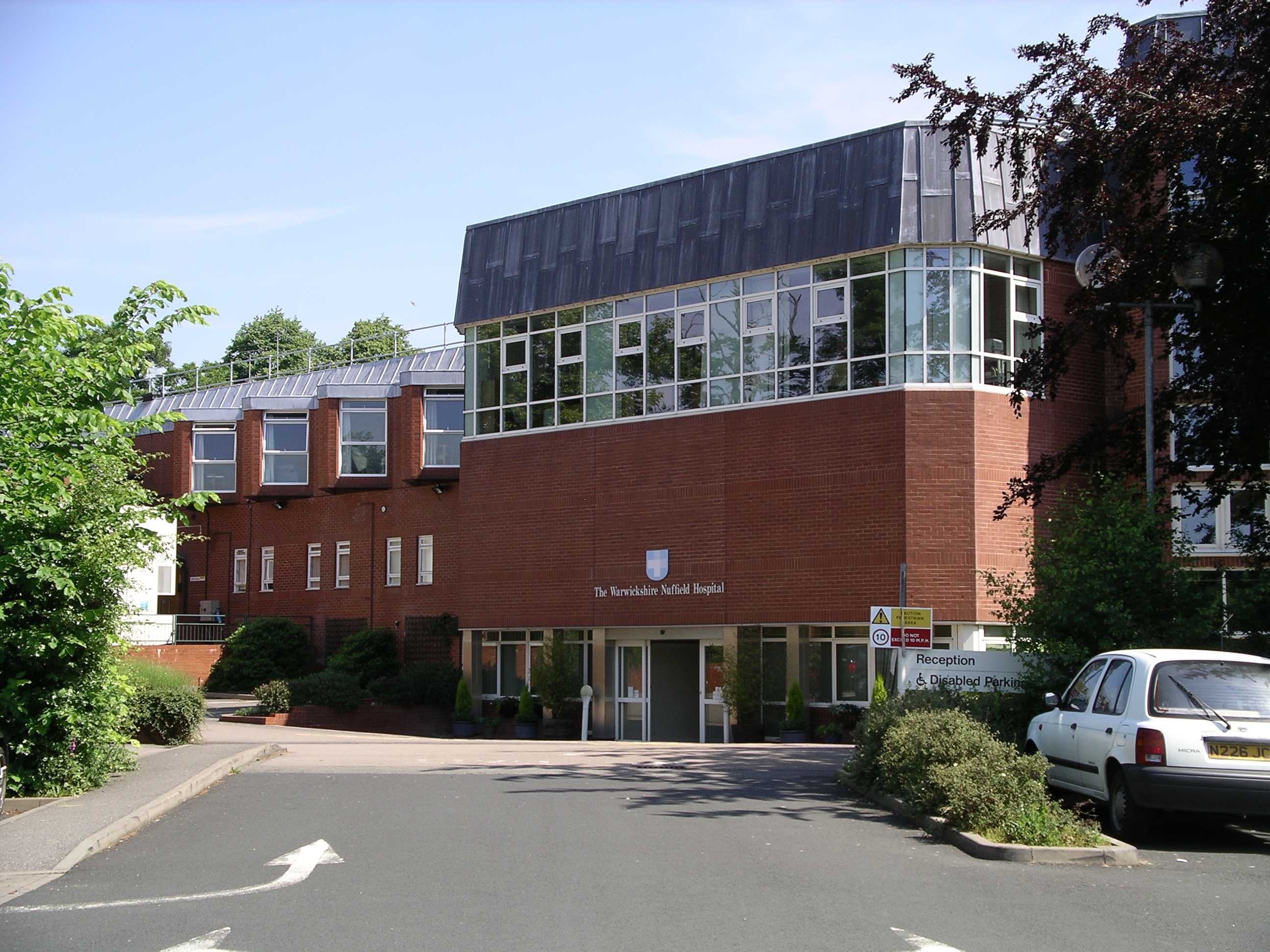
Warwickshire Nuffield Hospital
Warwickshire Nuffield Hospital is a not-for-profit private hospital situated in the north of Leamington Spa, Warwickshire, England. == History == The hospital...
Trinity Catholic School
Trinity Catholic School is a mixed Catholic secondary school and sixth form located in Leamington Spa, Warwickshire, England. Following an Ofsted inspection...

Leamington Cricket Club Ground
Leamington Cricket Club Ground is a cricket ground in Leamington Spa, Warwickshire. == History == The first recorded match on the ground was in 1900, when...
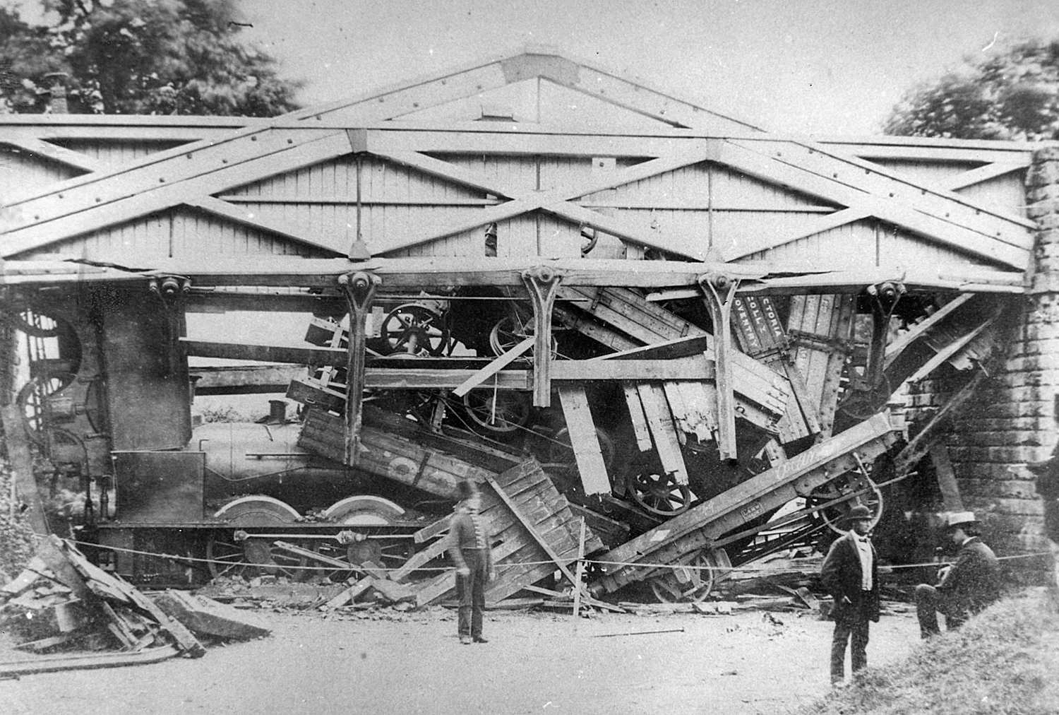
Wootton bridge collapse
The Wootton bridge collapse occurred on 11 June 1861, when the rail bridge over the road between Leek Wootton and Hill Wootton in Warwickshire collapsed...

Guy's Cliffe
Guy's Cliffe (variously spelled with and without an apostrophe and a final "e") is a hamlet and former civil parish on the River Avon and the Coventry...

Arnold Lodge School
Arnold Lodge School is a co-educational independent school in Leamington Spa, Warwickshire, England, founded in 1864. The school has around 300 day pupils...
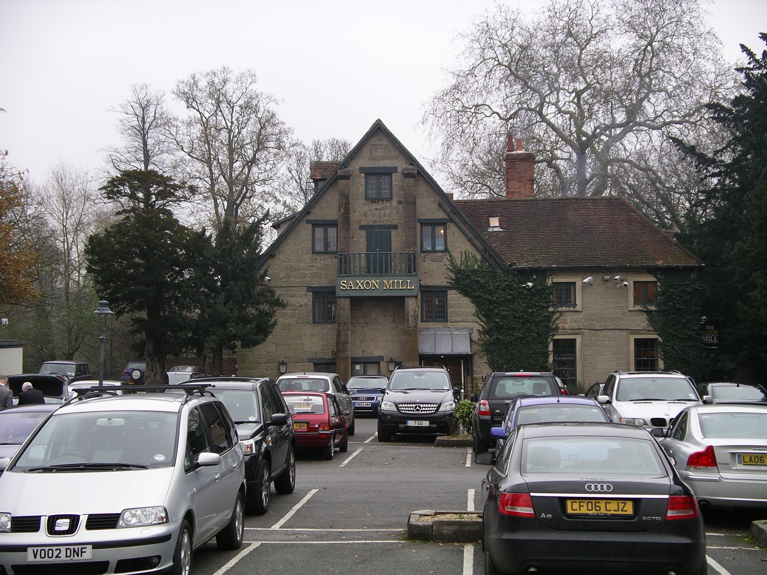
Saxon Mill
The Saxon Mill is a former mill at Guy's Cliffe, Warwickshire, England, situated about one mile northeast of the town of Warwick. It is now a restaurant...
Nearby Amenities
Located within 500m of 52.305586,-1.553461Have you been to Old Milverton?
Leave your review of Old Milverton below (or comments, questions and feedback).