Corseyard Point
Coastal Feature, Headland, Point in Kirkcudbrightshire
Scotland
Corseyard Point
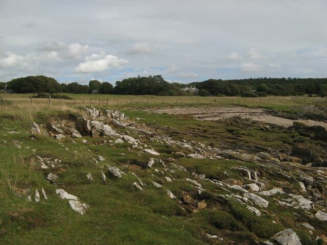
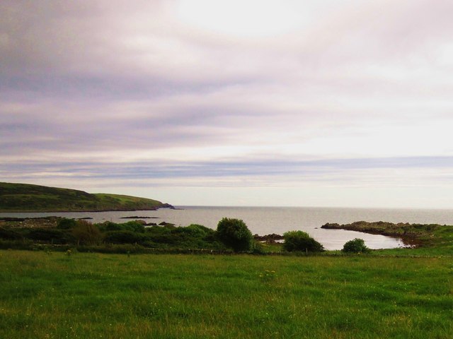
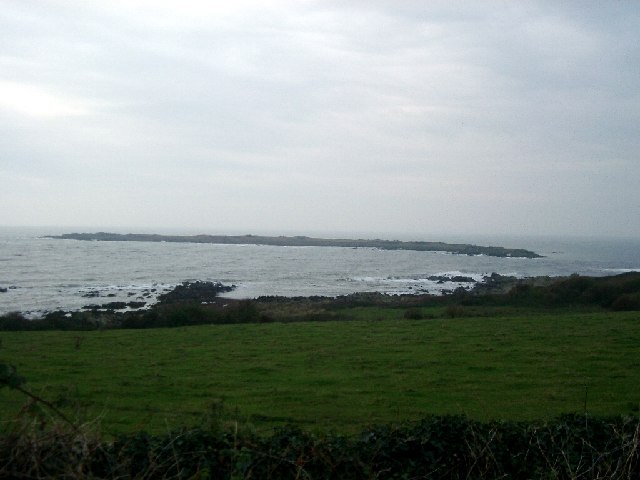
Corseyard Point is a prominent coastal feature located in Kirkcudbrightshire, southwest Scotland. Situated on the Solway Firth, this headland juts out into the sea, offering stunning panoramic views of the surrounding landscape.
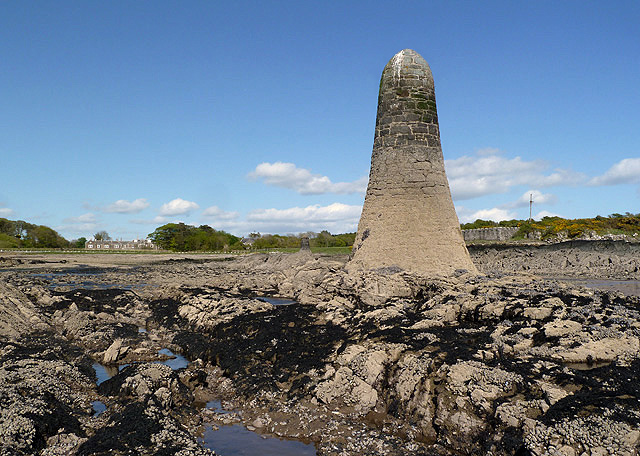
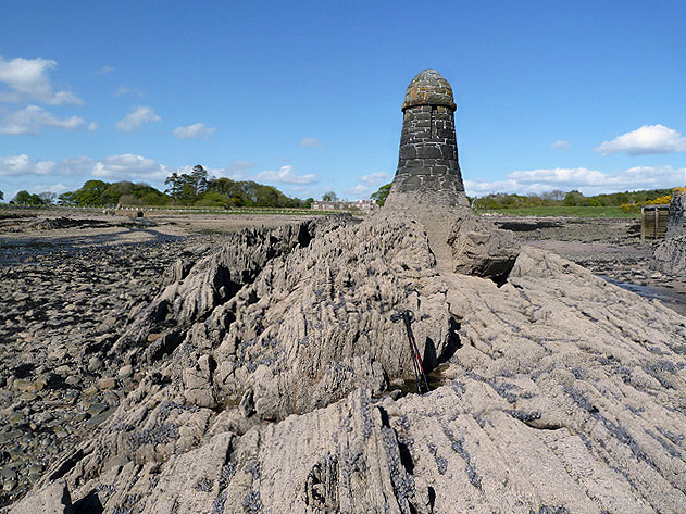
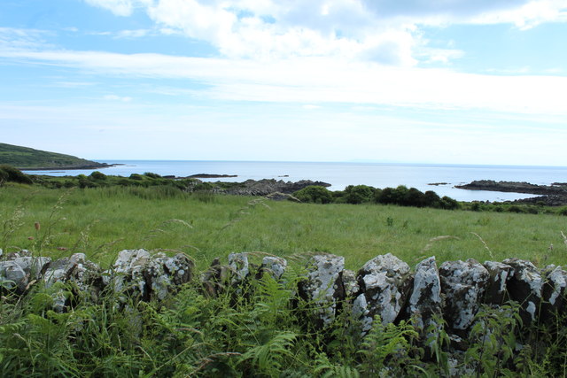
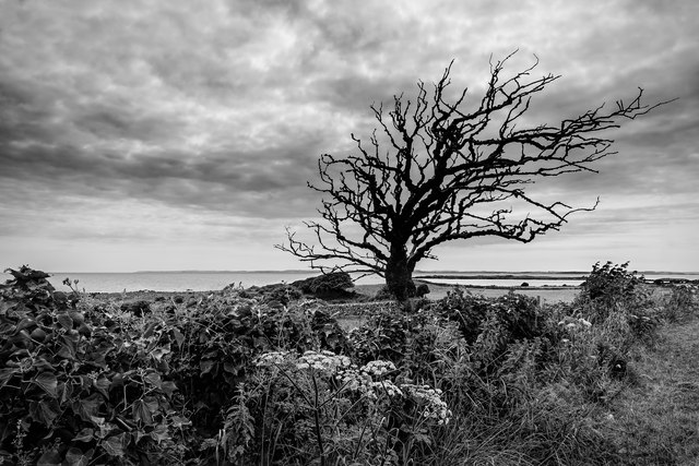
The point is characterized by its rocky cliffs and rugged terrain, which provide a habitat for a diverse range of flora and fauna. The coastline is dotted with small caves and rock formations, adding to its natural beauty. Visitors can explore these caves and discover the various marine life that inhabits the area.
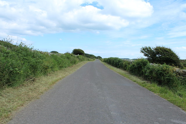
The headland is a popular destination for nature enthusiasts and outdoor lovers. It offers excellent opportunities for hiking and walking, with well-maintained trails that meander along the cliff edges. Birdwatchers frequent the area to spot a variety of seabirds, including gannets, puffins, and cormorants.
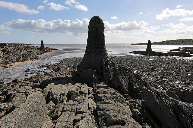
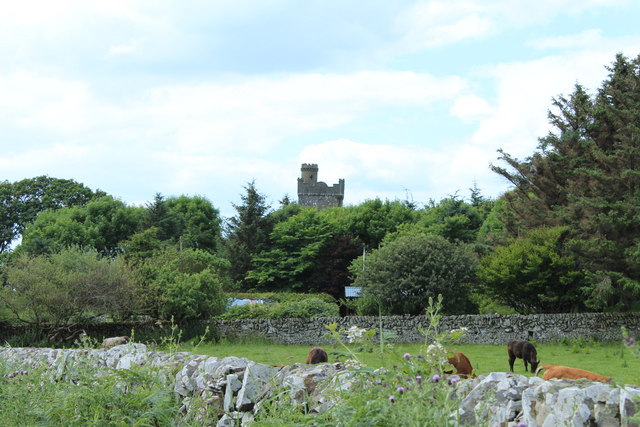
Corseyard Point is also steeped in history. It is believed to have been a site of significance during the Roman era, with remains of a Roman fort nearby. Additionally, the headland played a role in the smuggling trade in the 18th century, and remnants of old smugglers' caves can still be found in the area.
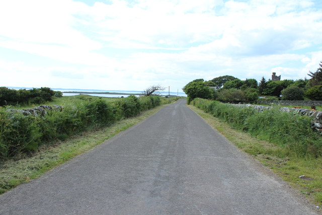
Access to Corseyard Point is relatively straightforward, with a car park available nearby. Visitors can enjoy a leisurely stroll along the coastal path, taking in the breathtaking views of the Solway Firth and the surrounding countryside. Whether for its natural beauty, historical significance, or recreational opportunities, Corseyard Point is a captivating destination for all to explore.
If you have any feedback on the listing, please let us know in the comments section below.
Corseyard Point Images
Images are sourced within 2km of 54.806161/-4.1947563 or Grid Reference NX5947. Thanks to Geograph Open Source API. All images are credited.

Corseyard Point is located at Grid Ref: NX5947 (Lat: 54.806161, Lng: -4.1947563)
Unitary Authority: Dumfries and Galloway
Police Authority: Dumfries and Galloway
What 3 Words
///smart.recorder.should. Near Kirkcudbright, Dumfries & Galloway
Nearby Locations
Related Wikis

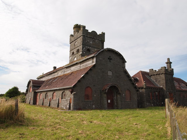
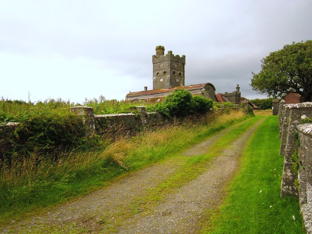
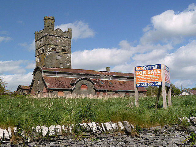
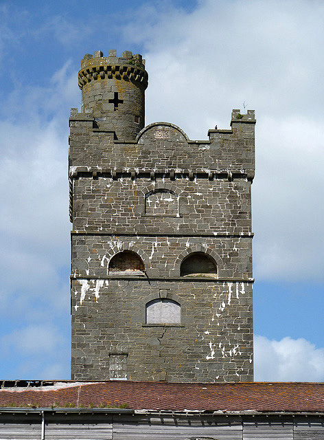
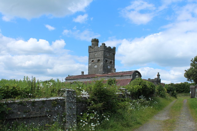
Corseyard Farm
Corseyard Farm, known locally as the Coo Palace and now marketed under that name, is an architecturally unusual dairy farm near Kirkandrews in Scotland...

Kirkandrews, Dumfries and Galloway
Kirkandrews, sometimes written as Kirkanders in older documents, is a coastal hamlet about 9 kilometres (6 mi) west-southwest of Kirkcudbright in Dumfries...

Islands of Fleet
The Islands of Fleet are a group of small islands in Galloway, Scotland. They are in Fleet Bay, which is part of Wigtown Bay, and is in turn part of the...

Plunton Castle
Plunton Castle is a ruined L-plan tower house between Kirkandrews and Gatehouse of Fleet in Dumfries and Galloway, Scotland. Built around 1575 for the...

Borness
Borness is a farm of around 1550 acres on the coast of Borgue Parish in the Stewartry of Kirkcudbrightshire (now part of Dumfries and Galloway). It is...

Water of Fleet
The Water of Fleet is a river in Scotland flowing into Fleet Bay on the Solway Firth. Its two tributaries are the Big Water of Fleet, which begins around...

Borgue, Dumfries and Galloway
Borgue (pronounced /ˈbɔrɡ/; Scottish Gaelic: Borgh) is a village and parish in the Stewartry of Kirkcudbright in Dumfries and Galloway, Scotland. It lies...

Borgue Old House
Borgue Old House is a ruined Y-plan house, about 300 metres (0.2 mi) east of Borgue in Dumfries and Galloway, Scotland. Built in 1680, but probably incorporating...
Nearby Amenities
Located within 500m of 54.806161,-4.1947563Have you been to Corseyard Point?
Leave your review of Corseyard Point below (or comments, questions and feedback).