Old Man's Pow
Coastal Feature, Headland, Point in Kirkcudbrightshire
Scotland
Old Man's Pow
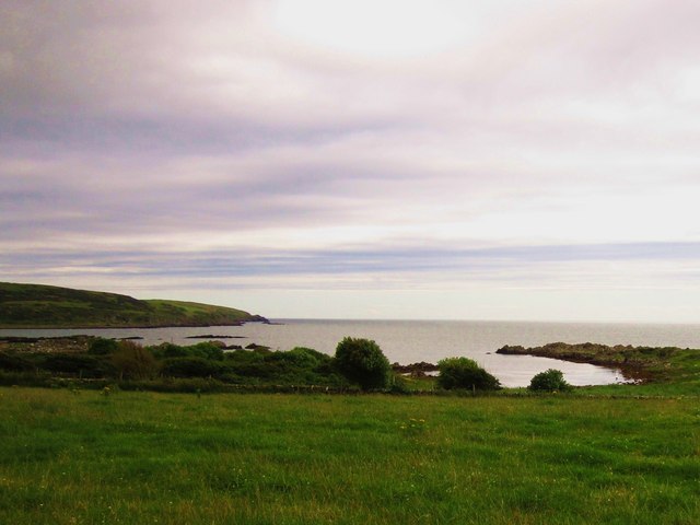
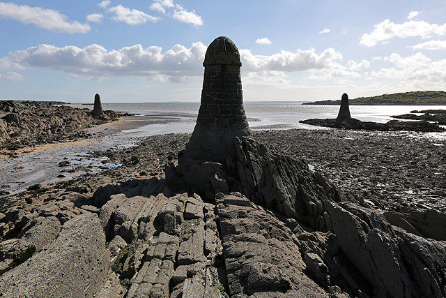
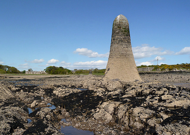
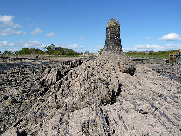
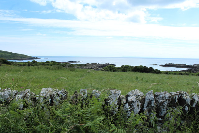
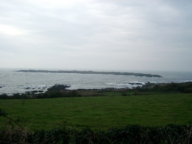
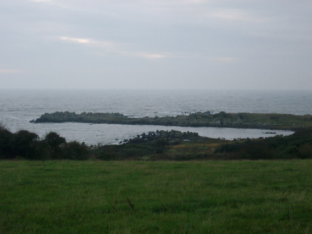
Old Man's Pow is a prominent headland located in Kirkcudbrightshire, Scotland. Situated along the coastal area, this geological feature is known for its picturesque views and unique rock formations. The name "Old Man's Pow" refers to the rugged appearance of the cliffs, which resemble an old man's face when viewed from a certain angle.
This headland is formed by layers of sedimentary rock, primarily composed of sandstone and shale, which have been eroded over time by the relentless action of the sea. The constant crashing of waves against the cliffs has carved out caves and crevices, adding to the charm and character of the landscape. These caves are also home to various marine species, making Old Man's Pow a popular spot for nature enthusiasts and birdwatchers.
The headland offers breathtaking panoramic views of the surrounding coastline and the vast expanse of the Irish Sea. On a clear day, visitors can see as far as the Isle of Man and the distant mountains of the Lake District in England. The rugged terrain and dramatic cliffs provide excellent opportunities for photography and exploration.
Old Man's Pow is accessible by a footpath that winds its way along the coastline, offering visitors a chance to experience the raw beauty of this natural landmark up close. The site is also a popular destination for hikers and walkers, who can enjoy the coastal breeze and the sound of crashing waves while taking in the stunning scenery.
In summary, Old Man's Pow is a captivating headland in Kirkcudbrightshire, Scotland, known for its unique rock formations, caves, and panoramic views of the surrounding coastline. It is a must-visit destination for nature lovers and those seeking to immerse themselves in the beauty of Scotland's coastal landscapes.
If you have any feedback on the listing, please let us know in the comments section below.
Old Man's Pow Images
Images are sourced within 2km of 54.806094/-4.19052 or Grid Reference NX5947. Thanks to Geograph Open Source API. All images are credited.

Old Man's Pow is located at Grid Ref: NX5947 (Lat: 54.806094, Lng: -4.19052)
Unitary Authority: Dumfries and Galloway
Police Authority: Dumfries and Galloway
What 3 Words
///patching.weeded.folks. Near Kirkcudbright, Dumfries & Galloway
Nearby Locations
Related Wikis

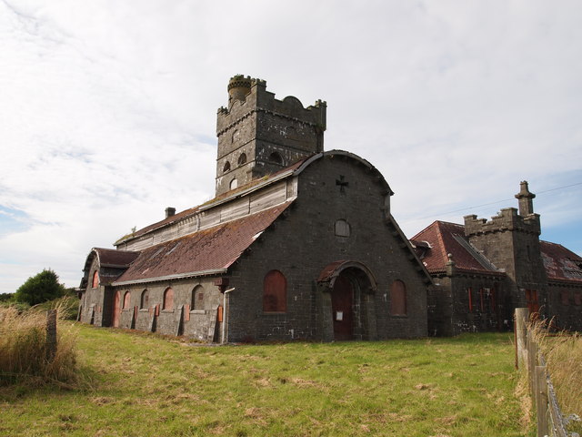
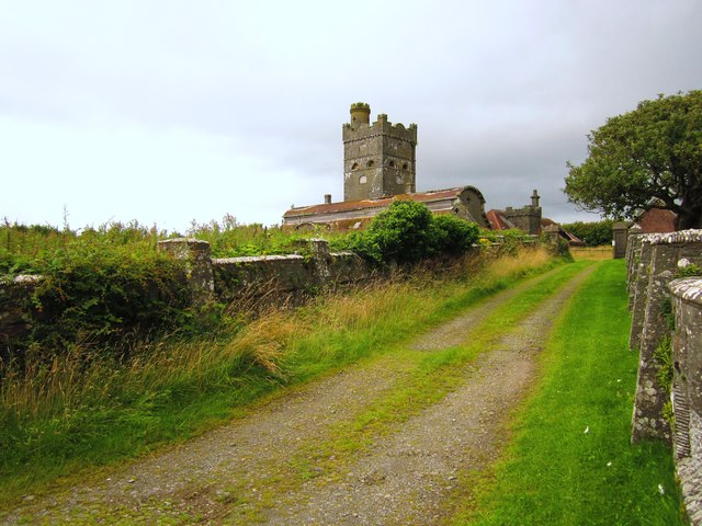
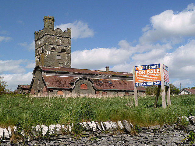
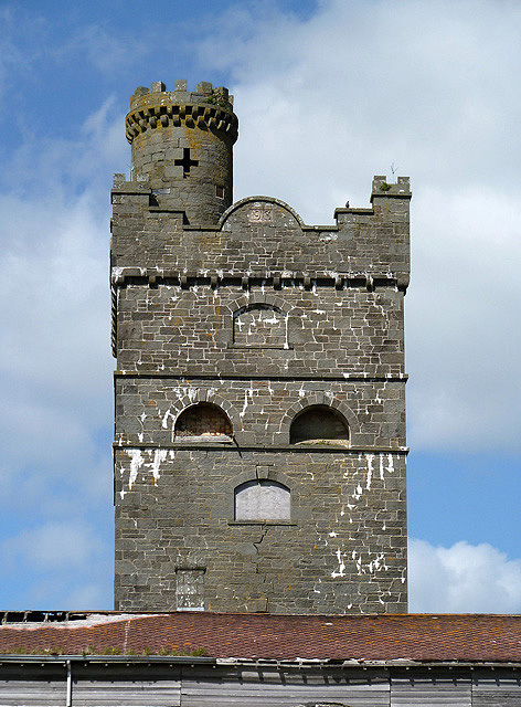
Corseyard Farm
Corseyard Farm, known locally as the Coo Palace and now marketed under that name, is an architecturally unusual dairy farm near Kirkandrews in Scotland...

Kirkandrews, Dumfries and Galloway
Kirkandrews, sometimes written as Kirkanders in older documents, is a coastal hamlet about 9 kilometres (6 mi) west-southwest of Kirkcudbright in Dumfries...

Islands of Fleet
The Islands of Fleet are a group of small islands in Galloway, Scotland. They are in Fleet Bay, which is part of Wigtown Bay, and is in turn part of the...

Plunton Castle
Plunton Castle is a ruined L-plan tower house between Kirkandrews and Gatehouse of Fleet in Dumfries and Galloway, Scotland. Built around 1575 for the...

Borness
Borness is a farm of around 1550 acres on the coast of Borgue Parish in the Stewartry of Kirkcudbrightshire (now part of Dumfries and Galloway). It is...

Borgue, Dumfries and Galloway
Borgue (pronounced /ˈbɔrɡ/; Scottish Gaelic: Borgh) is a village and parish in the Stewartry of Kirkcudbright in Dumfries and Galloway, Scotland. It lies...

Water of Fleet
The Water of Fleet is a river in Scotland flowing into Fleet Bay on the Solway Firth. Its two tributaries are the Big Water of Fleet, which begins around...

Borgue Old House
Borgue Old House is a ruined Y-plan house, about 300 metres (0.2 mi) east of Borgue in Dumfries and Galloway, Scotland. Built in 1680, but probably incorporating...
Nearby Amenities
Located within 500m of 54.806094,-4.19052Have you been to Old Man's Pow?
Leave your review of Old Man's Pow below (or comments, questions and feedback).