The Cove
Bay in Cornwall
England
The Cove
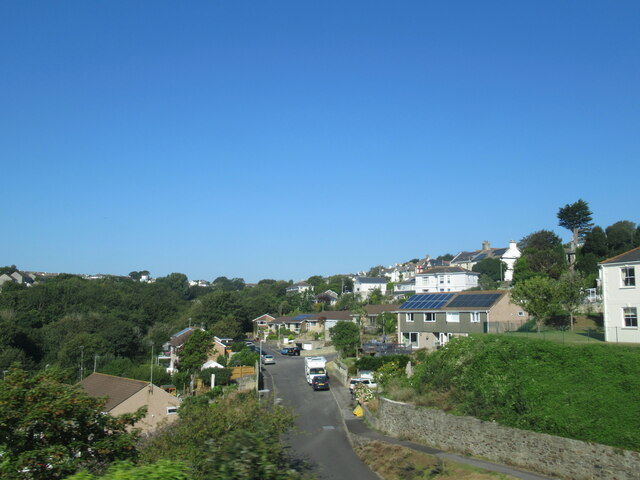
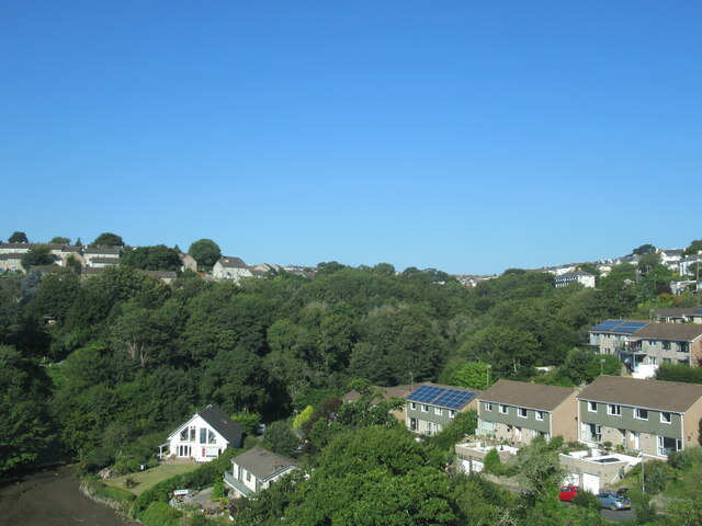
The Cove, Cornwall, also known as The Cove Bay, is a picturesque coastal area located in the southern region of Cornwall, England. Situated near the village of Lamorna, this beautiful bay is renowned for its stunning natural scenery and tranquil atmosphere.
The Cove boasts a secluded sandy beach, nestled between towering cliffs and lush greenery. The beach is a popular spot for sunbathing, picnicking, and enjoying a refreshing swim in the crystal-clear waters of the Atlantic Ocean. The lack of strong currents and gentle waves make it a safe place for families and water sports enthusiasts.
The surrounding cliffs provide a breathtaking backdrop and are a haven for wildlife, including various species of birds and marine life. Visitors often enjoy leisurely walks along the coastal path, which offers panoramic views of the bay and the surrounding rugged landscape. The area is also a popular spot for birdwatching and photography.
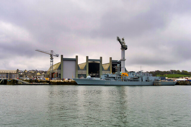
The Cove is steeped in history, with remnants of its industrial past still visible. The remains of an old granite quarry and a historic lime kiln can be found nearby, offering insight into the area's industrial heritage.
The Cove is easily accessible by road, with a small car park available for visitors. Although there are limited facilities on-site, a charming café and gift shop can be found nearby for refreshments and souvenirs.
Overall, The Cove, Cornwall, offers a peaceful retreat from the bustling city life, providing visitors with a chance to connect with nature and unwind in a truly idyllic setting.
If you have any feedback on the listing, please let us know in the comments section below.
The Cove Images
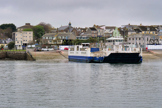
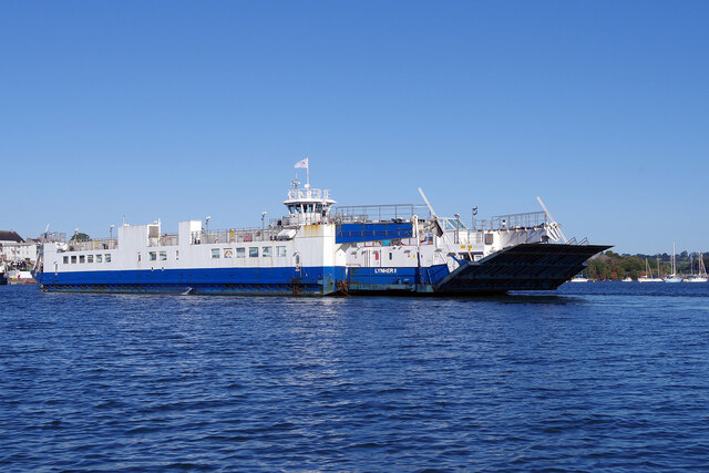
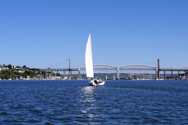
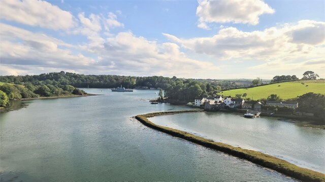
Images are sourced within 2km of 50.38951/-4.2057926 or Grid Reference SX4356. Thanks to Geograph Open Source API. All images are credited.

The Cove is located at Grid Ref: SX4356 (Lat: 50.38951, Lng: -4.2057926)
Unitary Authority: Cornwall
Police Authority: Devon and Cornwall
What 3 Words
///idea.enter.skirt. Near Torpoint, Cornwall
Nearby Locations
Related Wikis
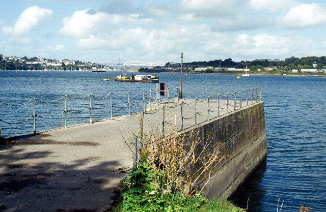
Wilcove
Wilcove is a small coastal village in Cornwall, England, United Kingdom. It is situated one mile (1.6 km) north of Torpoint and one mile (1.6 km) west...
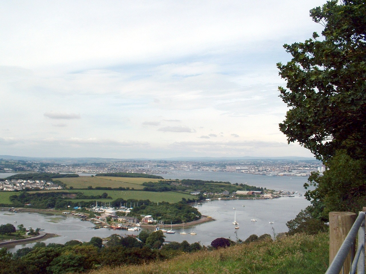
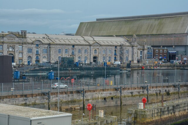
Hamoaze
The Hamoaze (; Cornish pronunciation: [ˈhɒmøz]) is an estuarine stretch of the English tidal River Tamar, between its confluence with the River Lynher...

Maryfield, Cornwall
Maryfield is a hamlet north of Torpoint and east of Antony House in southeast Cornwall, England. == References ==

RM Tamar
Royal Marines Tamar or more commonly RM Tamar, is a Royal Marines military installation specialising in landing craft training and operations located on...
Nearby Amenities
Located within 500m of 50.38951,-4.2057926Have you been to The Cove?
Leave your review of The Cove below (or comments, questions and feedback).