Portnancon
Bay in Sutherland
Scotland
Portnancon
The requested URL returned error: 429 Too Many Requests
If you have any feedback on the listing, please let us know in the comments section below.
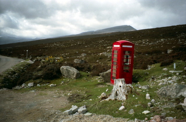
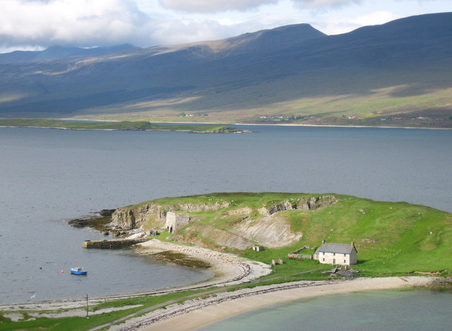
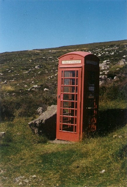
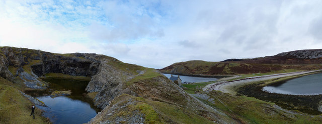
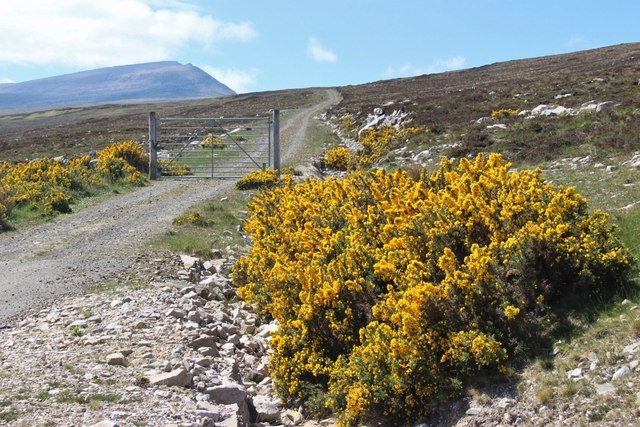
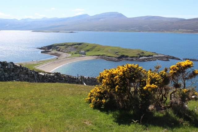
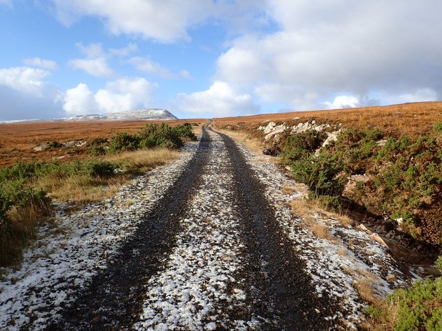
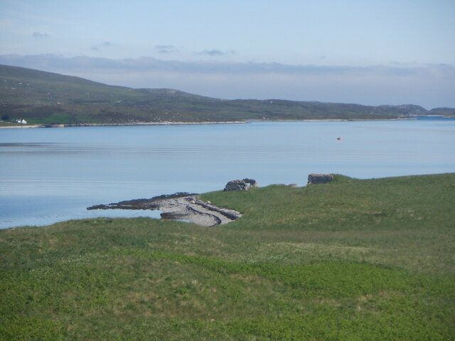
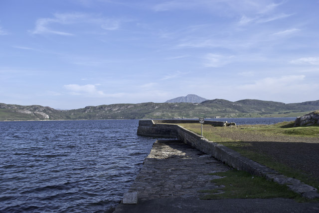
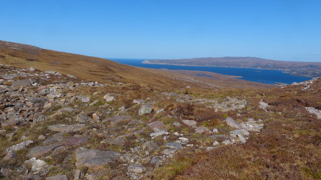
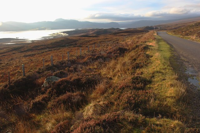
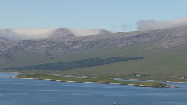
Portnancon Images
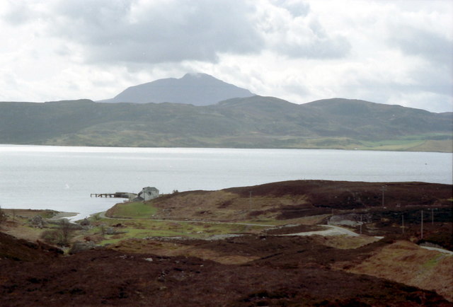
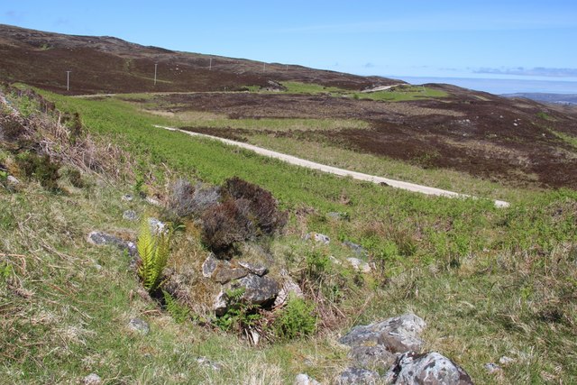
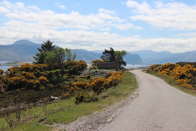
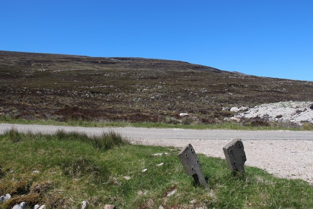
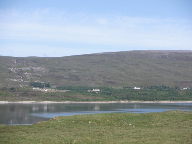
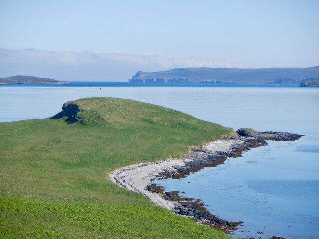
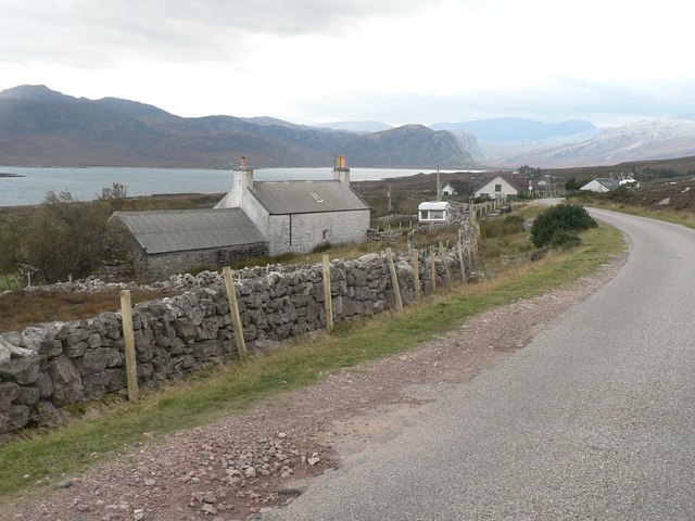
Images are sourced within 2km of 58.502476/-4.6997129 or Grid Reference NC4260. Thanks to Geograph Open Source API. All images are credited.
Portnancon is located at Grid Ref: NC4260 (Lat: 58.502476, Lng: -4.6997129)
Unitary Authority: Highland
Police Authority: Highlands and Islands
What 3 Words
///inspects.carpets.refers. Near Oldshoremore, Highland
Nearby Locations
Related Wikis

Portnancon
Portnacon is a small remote crofting township, and former fishing station, on the west shore of Loch Eriboll in Sutherland, Scottish Highlands in the...
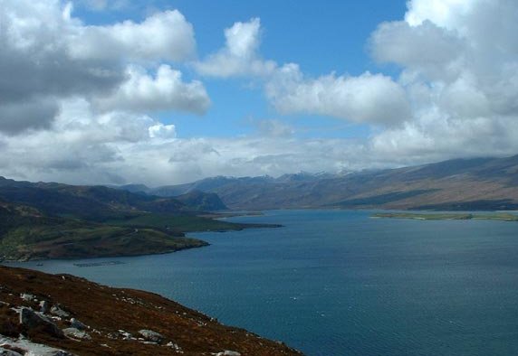
Loch Eriboll
Loch Eriboll (Scottish Gaelic: "Loch Euraboil") is a 16 km (9.9 mi) long sea loch on the north coast of Scotland, which has been used for centuries as...
Laid, Sutherland
Laid is a remote, linear crofting township scattered along the A838 road on the western shore of the sea loch, Loch Eriboll in Sutherland in the northern...
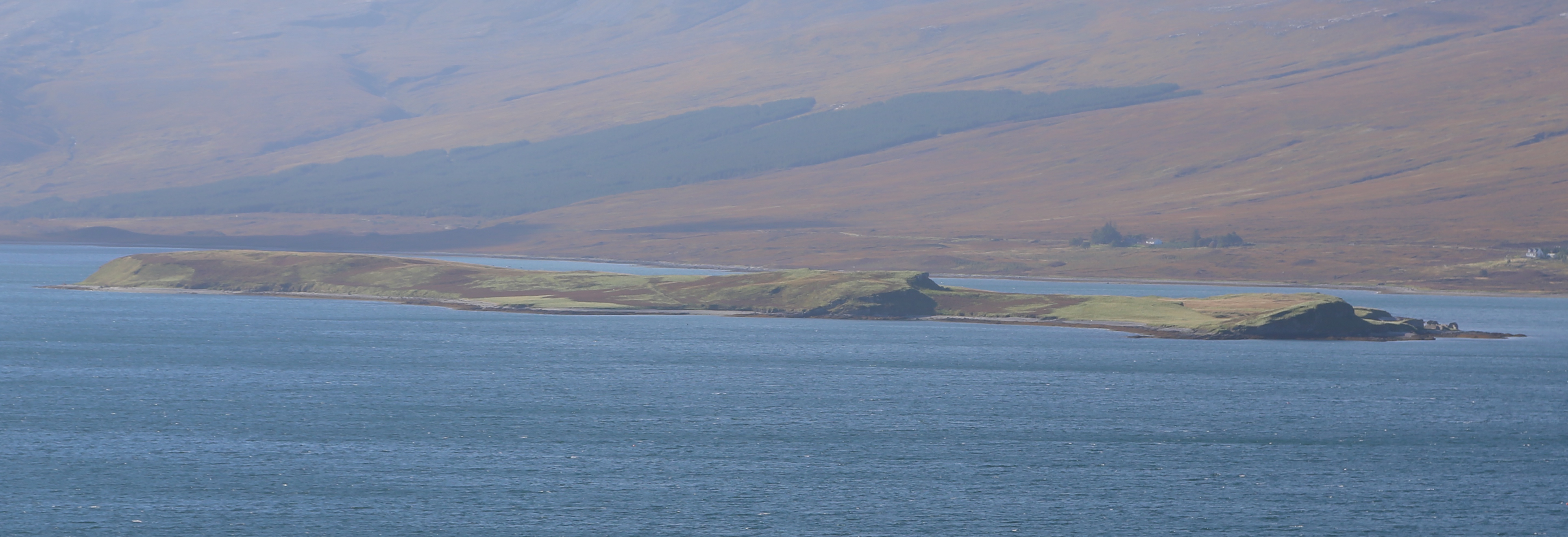
Eilean Choraidh
Eilean Choraidh, also known as Horse Island is an island in Loch Eriboll in Sutherland on the north coast of Scotland. It is about 26 hectares (64 acres...
Nearby Amenities
Located within 500m of 58.502476,-4.6997129Have you been to Portnancon?
Leave your review of Portnancon below (or comments, questions and feedback).