Creag na Griosaich

Coastal Feature, Headland, Point in Sutherland

Scotland

Creag na Griosaich

Telephone box near Portnancon Beinn Spionnaidh is just peeping over the skyline.
Telephone box near Portnancon Credit: Russel Wills

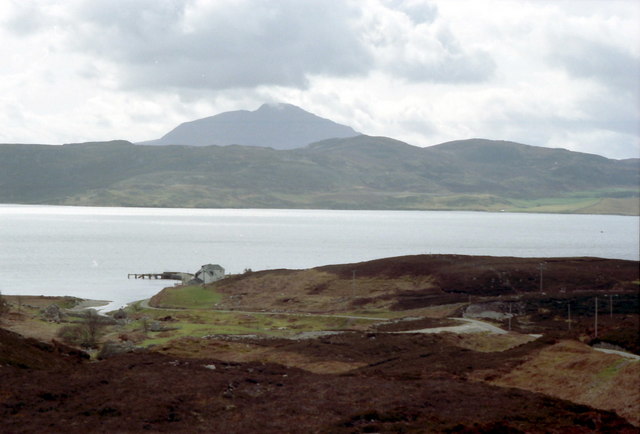
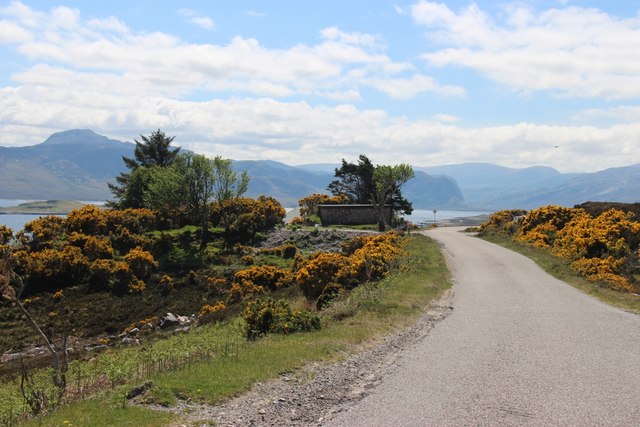
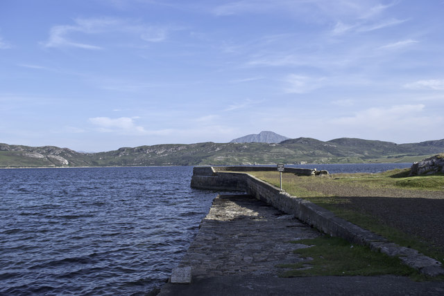
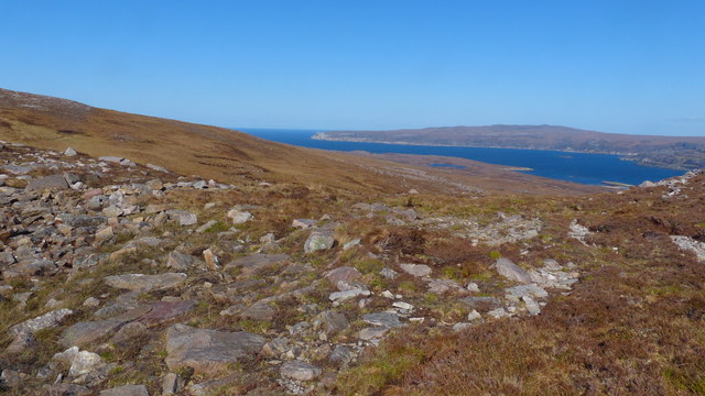
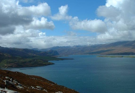
Creag na Griosaich is a prominent coastal feature located in Sutherland, a historic county in the northernmost part of mainland Scotland. It is classified as a headland or point and is situated along the rugged and breathtaking coastline of the North Atlantic Ocean.

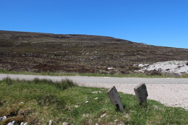
This striking formation is characterized by its towering cliffs, which rise steeply from the sea, offering stunning views of the surrounding landscape. The cliffs are composed of rugged sandstone and are known for their impressive geological formations, including sea caves, natural arches, and stacks. These features have been shaped over millions of years by the relentless force of the ocean waves crashing against the rock.

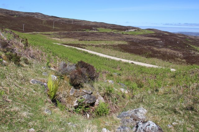
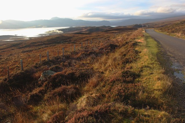
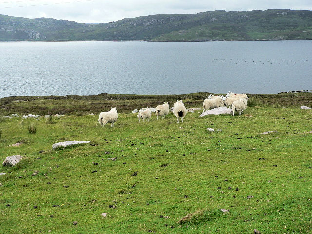
Creag na Griosaich is also home to a diverse range of flora and fauna. The coastal grasslands and heathland surrounding the headland provide a habitat for various plant species, including sea thrift, heather, and grasses. The area is also a haven for birdlife, with seabirds such as gannets, puffins, and guillemots nesting on the cliffs.

Visitors to Creag na Griosaich can enjoy a picturesque coastal walk along the headland, taking in the dramatic scenery and experiencing the powerful forces of nature at play. The site offers a unique opportunity to witness the raw beauty of the Scottish coastline and immerse oneself in its natural wonders.

If you have any feedback on the listing, please let us know in the comments section below.

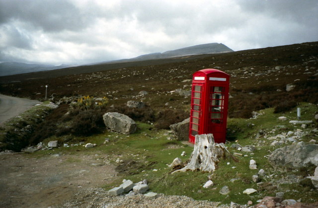
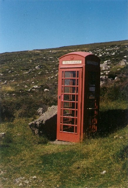
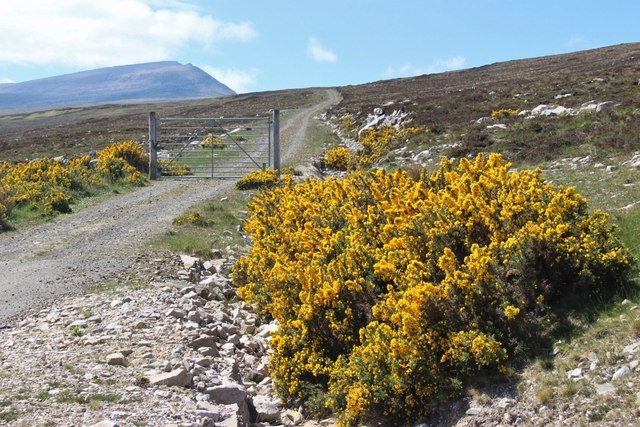
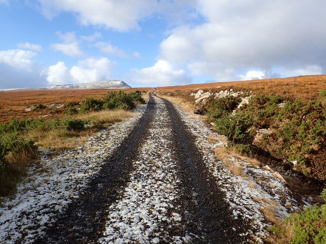
Creag na Griosaich Images

Images are sourced within 2km of 58.505691/-4.6997711 or Grid Reference NC4260. Thanks to Geograph Open Source API. All images are credited.

Telephone box near Portnancon Beinn Spionnaidh is just peeping over the skyline.
Telephone box near Portnancon
Beinn Spionnaidh is just peeping over the skyline.
Erratic Phone Booth
Erratic Phone Booth
Access to Laid waterworks A rather pointless deer gate bars the way to vehicles
Access to Laid waterworks
A rather pointless deer gate bars the way to vehicles
Track to Laid Waterworks Seen in the first snow of the year. Beinn Spionnaidh is in the distance.
Track to Laid Waterworks
Seen in the first snow of the year. Beinn Spionnaidh is in the distance.
Portnancon pier Jutting out into Loch Eriboll.  Ben Hope in the distance.
Portnancon pier
Jutting out into Loch Eriboll. Ben Hope in the distance.
The road down to Port Chamuill cuts through emerging bracken
A838 running southwest above Loch Eriboll
Moorland slopes above Loch Eriboll
Portnancon - Ben Hope beyond
Lochan below Meall Meadhonach Boulder debris has blocked the glen here, damming the last in the series of lochans shown in <a href="https://www.geograph.org.uk/photo/3975210">NC4061 : High level lochans below Meall Meadhonach</a>. This image might be a first for this square but we can expect many more as a waymarked route has been set up, contouring across this side of Meall Meadhonach.
Lochan below Meall Meadhonach
Boulder debris has blocked the glen here, damming the last in the series of lochans shown in NC4061 : High level lochans below Meall Meadhonach. This image might be a first for this square but we can expect many more as a waymarked route has been set up, contouring across this side of Meall Meadhonach.
Route of new signposted trail The trail mentioned in <a href="https://www.geograph.org.uk/photo/3975290">NC4161 : Lochan below Meall Meadhonach</a> crosses the boulder-blocked mouth of the lochan before heading off to the right below the rocky slope in the background. At present the path is very indistinct with little sign of having been used. In many areas it disappears only to reappear as another waymarker is approached. No doubt this will change once a line of choice becomes established.
Route of new signposted trail
The trail mentioned in NC4161 : Lochan below Meall Meadhonach crosses the boulder-blocked mouth of the lochan before heading off to the right below the rocky slope in the background. At present the path is very indistinct with little sign of having been used. In many areas it disappears only to reappear as another waymarker is approached. No doubt this will change once a line of choice becomes established.
Durness path network route This view from the lochan in <a href="https://www.geograph.org.uk/photo/3975290">NC4161 : Lochan below Meall Meadhonach</a> shows the line of a new addition to the Durness path network. Having crossed the outlet burn from the lochan, the route traverses the slope in the background, crossing the shoulder below the gentle swelling on the line of the sea horizon.
Durness path network route
This view from the lochan in NC4161 : Lochan below Meall Meadhonach shows the line of a new addition to the Durness path network. Having crossed the outlet burn from the lochan, the route traverses the slope in the background, crossing the shoulder below the gentle swelling on the line of the sea horizon.
A838 above Loch Eriboll
A838, Laid The North Coast 500 is a 516 mile scenic route around the north coast of Scotland, starting and ending at Inverness Castle. The route is also known as the NC500 and was launched in 2015, linking many features in the north Highlands of Scotland in one touring route.
The route has increased visitor numbers to parts of the north of Scotland, which has brought economic benefits to some areas. The increase in traffic has also led to more instances of bad and dangerous driving, as well as damage to the roads and concerns about the environmental impact. 
Apparently the route was amended in 2022 with detours etc being removed.
Wikipedia: <span class="nowrap"><a title="https://en.wikipedia.org/wiki/North_Coast_500" rel="nofollow ugc noopener" href="https://en.wikipedia.org/wiki/North_Coast_500">Link</a><img style="margin-left:2px;" alt="External link" title="External link - shift click to open in new window" src="https://s1.geograph.org.uk/img/external.png" width="10" height="10"/></span> 
Original route map: <span class="nowrap"><a title="https://en.wikipedia.org/wiki/North_Coast_500#/media/File:North_Coast_500,_Scotland.svg" rel="nofollow ugc noopener" href="https://en.wikipedia.org/wiki/North_Coast_500#/media/File:North_Coast_500,_Scotland.svg">Link</a><img style="margin-left:2px;" alt="External link" title="External link - shift click to open in new window" src="https://s1.geograph.org.uk/img/external.png" width="10" height="10"/></span> 
Latest route map: <span class="nowrap"><a title="https://www.northcoast500.com/explore-the-route/" rel="nofollow ugc noopener" href="https://www.northcoast500.com/explore-the-route/">Link</a><img style="margin-left:2px;" alt="External link" title="External link - shift click to open in new window" src="https://s1.geograph.org.uk/img/external.png" width="10" height="10"/></span>
A838, Laid
The North Coast 500 is a 516 mile scenic route around the north coast of Scotland, starting and ending at Inverness Castle. The route is also known as the NC500 and was launched in 2015, linking many features in the north Highlands of Scotland in one touring route. The route has increased visitor numbers to parts of the north of Scotland, which has brought economic benefits to some areas. The increase in traffic has also led to more instances of bad and dangerous driving, as well as damage to the roads and concerns about the environmental impact. Apparently the route was amended in 2022 with detours etc being removed. Wikipedia: LinkExternal link Original route map: LinkExternal link Latest route map: LinkExternal link
Laid A view looking to the northeast along the A838 at Laid on the shores of Loch Eriboll.
Laid
A view looking to the northeast along the A838 at Laid on the shores of Loch Eriboll.
Laid telephone kiosk A view looking to the southwest across the A838 towards the telephone kiosk and post box at Laid.
Laid telephone kiosk
A view looking to the southwest across the A838 towards the telephone kiosk and post box at Laid.
Rough grazing by Loch Eriboll
Loch Eriboll View south-west from the A838 across Ard Neackie, with Beinn Spionnaidh on the other side of the loch. This is Britain's deepest sea loch and during World War II it was an assembly point for North Atlantic convoys, whose crews dubbed it Loch 'Orrible’. The small island in the background was used as target practice by bombers assigned to destroy the German battleship Tirpitz in a Norwegian fiord. The pier was used as the terminus of the Heilam Ferry to the west bank, which ceased operation in the 1890s when the road was built.
Loch Eriboll
View south-west from the A838 across Ard Neackie, with Beinn Spionnaidh on the other side of the loch. This is Britain's deepest sea loch and during World War II it was an assembly point for North Atlantic convoys, whose crews dubbed it Loch 'Orrible’. The small island in the background was used as target practice by bombers assigned to destroy the German battleship Tirpitz in a Norwegian fiord. The pier was used as the terminus of the Heilam Ferry to the west bank, which ceased operation in the 1890s when the road was built.
Show me another place!

Creag na Griosaich is located at Grid Ref: NC4260 (Lat: 58.505691, Lng: -4.6997711)

Unitary Authority: Highland

Police Authority: Highlands and Islands

What 3 Words

///cobbled.congested.reef. Near Oldshoremore, Highland

Related Wikis

Portnancon

Portnacon is a small remote crofting township, and former fishing station, on the west shore of Loch Eriboll in Sutherland, Scottish Highlands in the...

Loch Eriboll

Loch Eriboll (Scottish Gaelic: "Loch Euraboil") is a 16 km (9.9 mi) long sea loch on the north coast of Scotland, which has been used for centuries as...
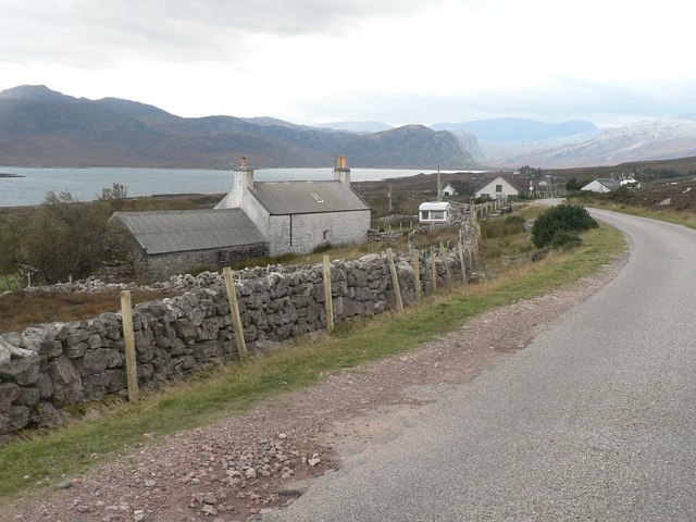
Laid, Sutherland

Laid is a remote, linear crofting township scattered along the A838 road on the western shore of the sea loch, Loch Eriboll in Sutherland in the northern...
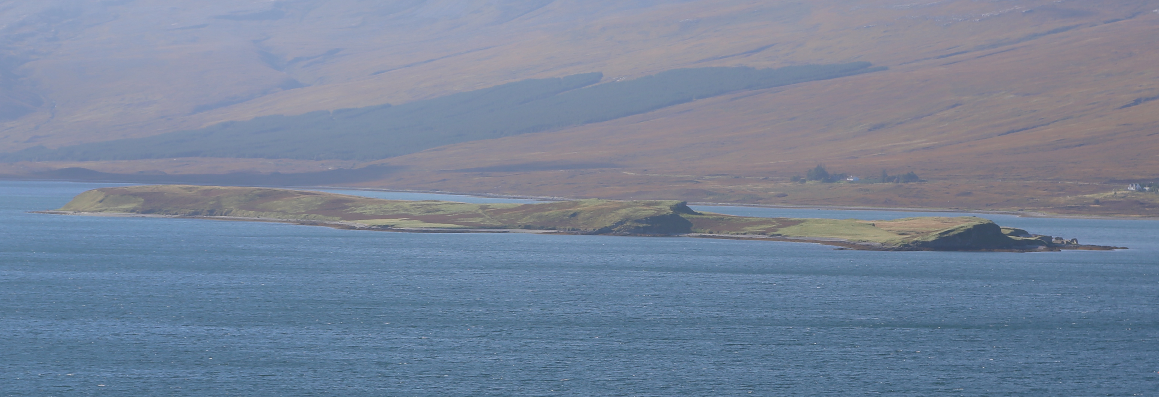
Eilean Choraidh

Eilean Choraidh, also known as Horse Island is an island in Loch Eriboll in Sutherland on the north coast of Scotland. It is about 26 hectares (64 acres...

Nearby Amenities

Located within 500m of 58.505691,-4.6997711
Source: PGS
Lat/Long: 58.5014274/-4.7023187
Source: PGS
Lat/Long: 58.5015594/-4.7020486
Source: PGS
Lat/Long: 58.5017268/-4.7017881
Source: PGS
Lat/Long: 58.501883/-4.701476
Source: PGS
Lat/Long: 58.5021995/-4.7011498
Source: PGS
Lat/Long: 58.5022134/-4.7006052
Source: PGS
Lat/Long: 58.5022704/-4.7005602
Created By: almien_coastlines
Source: PGS
Lat/Long: 58.503436/-4.700684
Source: PGS
Lat/Long: 58.5035579/-4.7001832
Source: PGS
Lat/Long: 58.5032517/-4.6976699
Source: PGS
Lat/Long: 58.5034759/-4.6967478
Created By: almien_coastlines
Source: PGS
Lat/Long: 58.503622/-4.696291
Source: PGS
Lat/Long: 58.5039817/-4.6951073
Source: PGS
Lat/Long: 58.504231/-4.6945179
Source: PGS
Lat/Long: 58.5045694/-4.6940599
Source: PGS
Lat/Long: 58.5050145/-4.6936066
Source: PGS
Lat/Long: 58.506102/-4.6943946
Source: PGS
Lat/Long: 58.5062179/-4.6949538
Source: PGS
Lat/Long: 58.5068506/-4.6948196
Source: PGS
Lat/Long: 58.5076015/-4.6943197
Source: PGS
Lat/Long: 58.5079185/-4.6940827
Source: PGS
Lat/Long: 58.5082183/-4.6939767
Source: PGS
Lat/Long: 58.508658/-4.6940748
Bus Stop
Pier Road End
Local Ref: AT
Naptan AtcoCode: 6700713053
Naptan Bearing: SW
Naptan CommonName: Pier Road End
Naptan Indicator: at
Naptan Landmark: Road End
Naptan NaptanCode: 45328478
Naptan Street: A838
Naptan Verified: no
Shelter: no
Source: naptan_import
Lat/Long: 58.5068045/-4.7054009
Bus Stop
Pier Road End
Naptan AtcoCode: 6700713053A
Naptan Bearing: NE
Naptan CommonName: Pier Road End
Naptan Indicator: opp
Naptan Landmark: Road End
Naptan NaptanCode: 45329498
Naptan Street: A838
Naptan Verified: no
Shelter: no
Source: naptan_import
Lat/Long: 58.5068849/-4.7054242
Portnancon
Name Gd: Port nan Con
Place: hamlet
Lat/Long: 58.502496/-4.7011849
Passing Place
Lat/Long: 58.5042124/-4.7067201
Passing Place
Lat/Long: 58.5038141/-4.7074576
Passing Place
Lat/Long: 58.5062144/-4.7063327
Passing Place
Lat/Long: 58.5050402/-4.7064212
Power: pole
Lat/Long: 58.5097792/-4.7031913
Power: pole
Lat/Long: 58.5090405/-4.704188
Power: pole
Lat/Long: 58.5085101/-4.7046377
Power: pole
Lat/Long: 58.5078049/-4.7053084
Power: pole
Lat/Long: 58.5070961/-4.7059712
Power: pole
Lat/Long: 58.5065779/-4.7064492
Power: pole
Lat/Long: 58.5061503/-4.7068356
Power: pole
Lat/Long: 58.5036952/-4.703313
Power: pole
Lat/Long: 58.5029456/-4.7040527
Power: pole
Lat/Long: 58.5033321/-4.7020398
Power: pole
Lat/Long: 58.5041264/-4.7047983
Power: pole
Lat/Long: 58.5047712/-4.7054096
Power: pole
Lat/Long: 58.505413/-4.7060598
Power: pole
Lat/Long: 58.5032032/-4.7057858
Power: pole
Lat/Long: 58.5037799/-4.704317
Ford: yes
Lat/Long: 58.508316/-4.6948137
The data included in this document is from www.openstreetmap.org. The data is made available under ODbL.

Have you been to Creag na Griosaich?

Leave your review of Creag na Griosaich below (or comments, questions and feedback).