Aber Hywel
Bay in Pembrokeshire
Wales
Aber Hywel

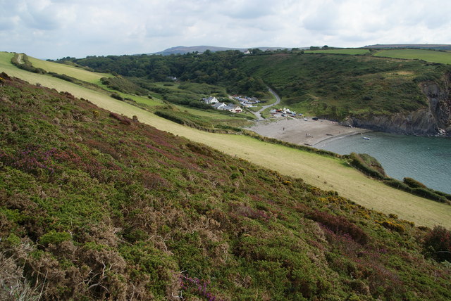
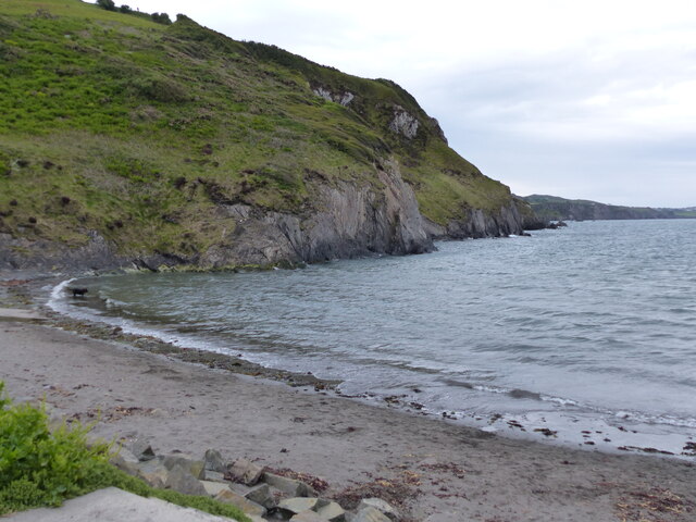
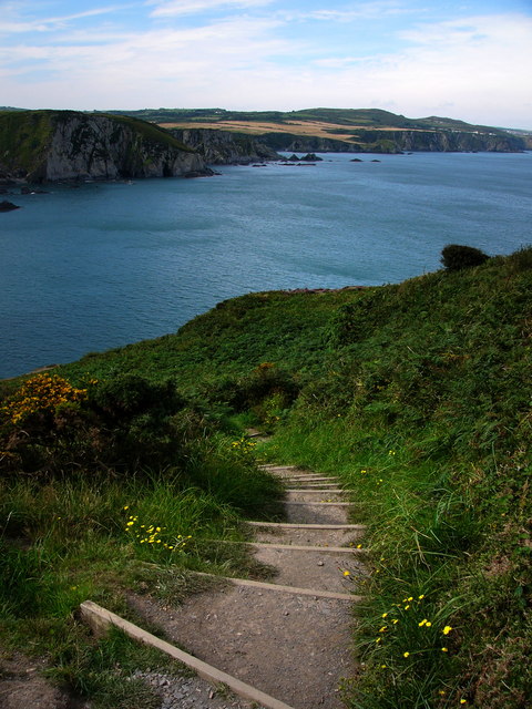
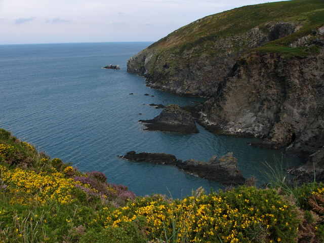
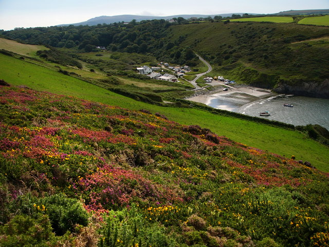
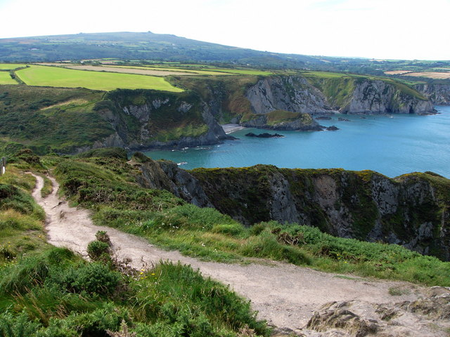
Aber Hywel, also known as Aber Bay, is a picturesque coastal village located in the county of Pembrokeshire, Wales. Situated on the western coast of the country, it offers stunning views of the Irish Sea and is surrounded by rugged cliffs and rolling hills.
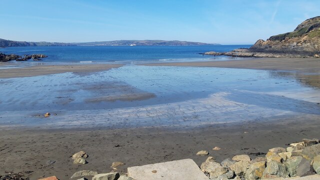
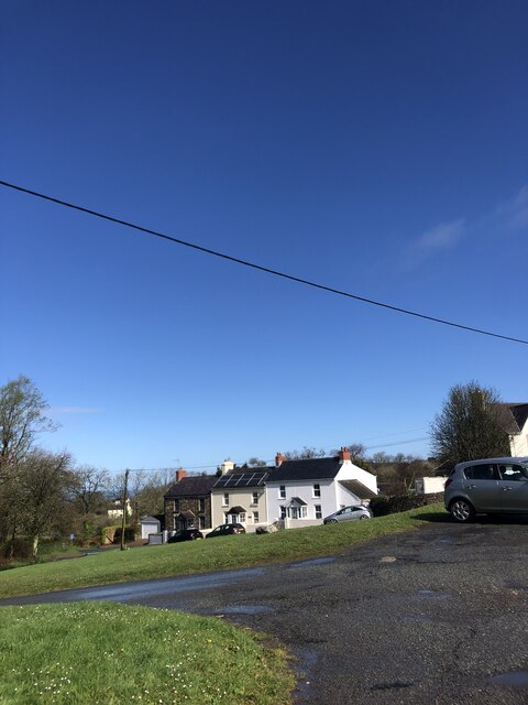
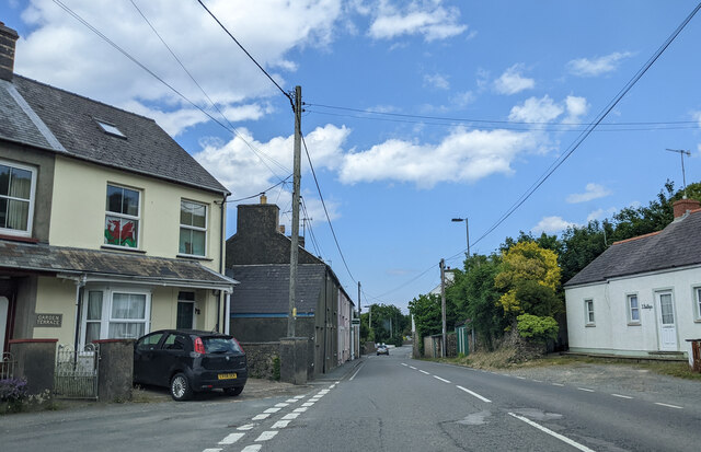
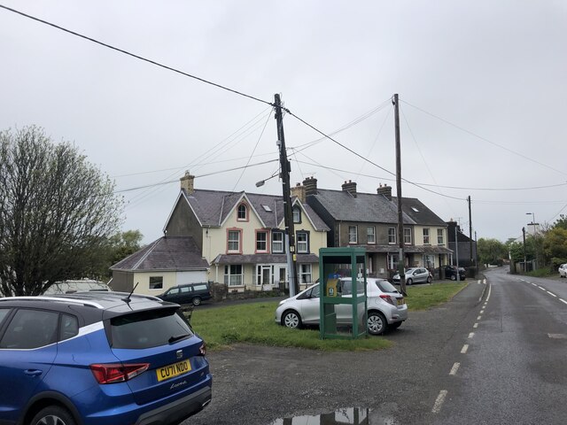
The village itself is small, with a population of around 300 residents. It has a traditional charm, with a few local shops, a pub, and a café. The main attraction of Aber Hywel is its beautiful sandy beach, which stretches for approximately 2 miles along the coastline. The beach is popular with both locals and visitors, offering opportunities for swimming, sunbathing, and beachcombing.
Aber Hywel is also known for its wildlife and natural beauty. The bay is a designated conservation area, home to a diverse range of bird species, including puffins, razorbills, and guillemots. Seals can often be spotted basking on the rocks, and dolphins can occasionally be seen swimming offshore.
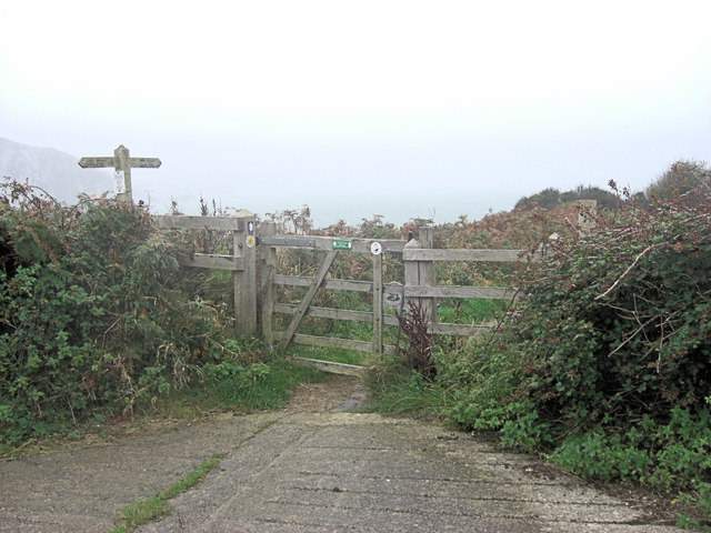
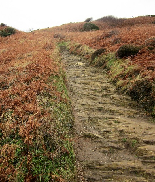
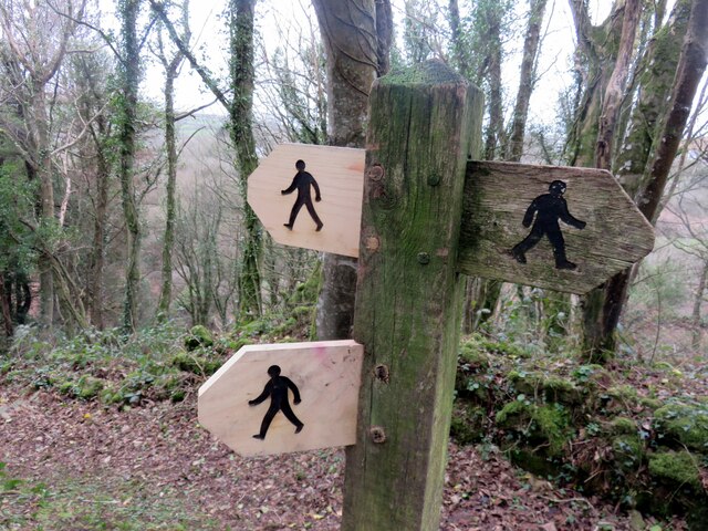
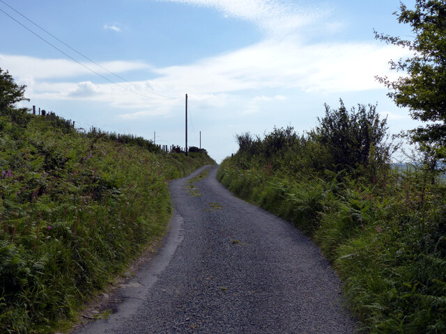
For those interested in exploring the surrounding area, there are several walking trails that offer stunning views of the coastline and countryside. Nearby attractions include the historic town of St. David's, with its medieval cathedral, and the Pembrokeshire Coast National Park, which offers miles of unspoiled natural beauty.
In summary, Aber Hywel is a tranquil coastal village in Pembrokeshire, offering a beautiful sandy beach, rich wildlife, and stunning views of the Irish Sea. It is a perfect destination for those seeking peace and relaxation amidst natural surroundings.
If you have any feedback on the listing, please let us know in the comments section below.
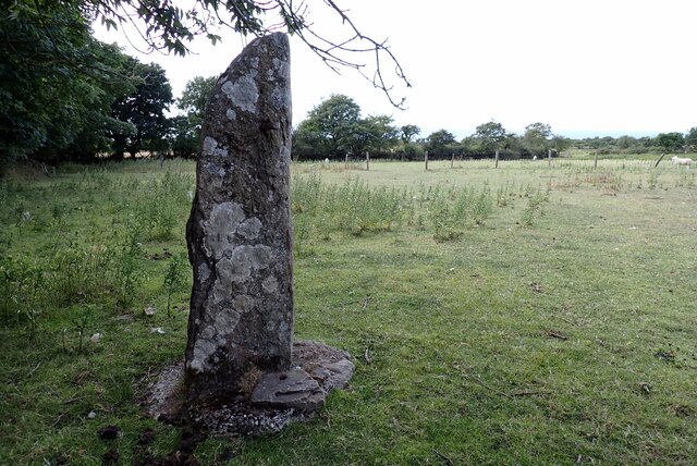
Aber Hywel Images
Images are sourced within 2km of 52.009521/-4.9304035 or Grid Reference SM9838. Thanks to Geograph Open Source API. All images are credited.
Aber Hywel is located at Grid Ref: SM9838 (Lat: 52.009521, Lng: -4.9304035)
Unitary Authority: Pembrokeshire
Police Authority: Dyfed Powys
What 3 Words
///duties.grudge.snips. Near Fishguard, Pembrokeshire
Nearby Locations
Related Wikis

Fishguard Bay
Fishguard Bay (Welsh: Bae Abergwaun) is a bay on the north Pembrokeshire coast, Wales. Much of the bay's coastline is within the Pembrokeshire Coast National...

Dinas Cross
Dinas Cross (Welsh: Dinas) is both a village, a community and a former parish in Pembrokeshire, Wales. Located between Fishguard and Newport in the Pembrokeshire...

Pwllgwaelod
Pwllgwaelod (originally Y Pwll Gwaelod, Welsh for The Bottom Cove/Creek) is a small scattered hamlet centred on a bay on the south-western side of the...

Cwm Dewi
Cwm Dewi is a Site of Special Scientific Interest (or SSSI) in Pembrokeshire, South Wales. It has been designated as a Site of Special Scientific Interest...
Nearby Amenities
Located within 500m of 52.009521,-4.9304035Have you been to Aber Hywel?
Leave your review of Aber Hywel below (or comments, questions and feedback).